
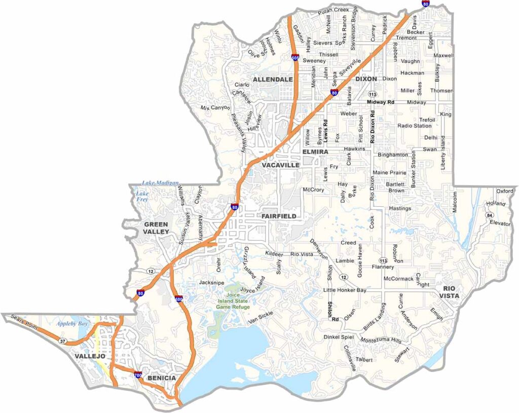
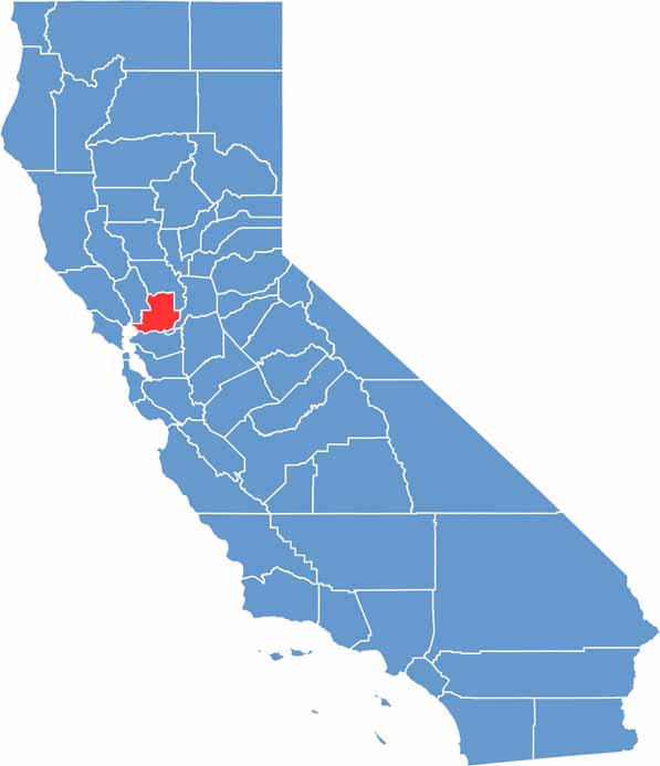
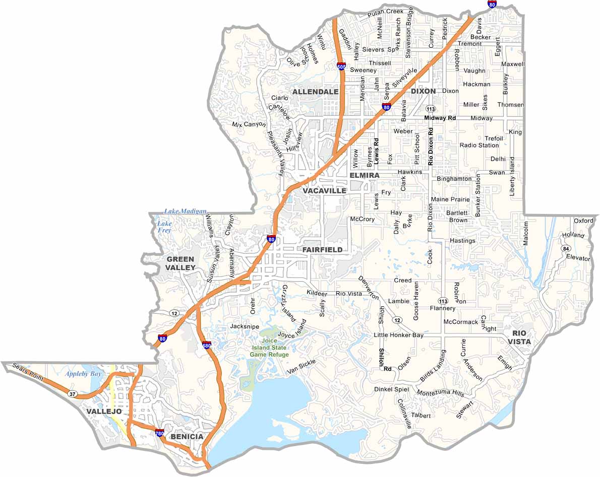
Solano County is located where the San Francisco Bay Area meets California’s Central Valley. Vallejo is one of its largest cities and is home to a major Six Flags amusement park, while Fairfield is known for the Jelly Belly factory.
With a population of about 450,000 people, the county includes thriving communities such as Vallejo, Vacaville, Fairfield, and Benicia. Travis Air Force Base is also an important presence in the area.
Interstate 80 runs through Solano County, making it a key transportation route between San Francisco and Sacramento. The county has a diverse character, combining suburban communities with agricultural areas and open farmland.
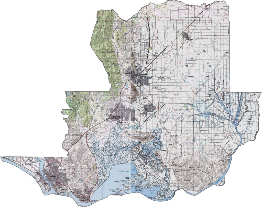
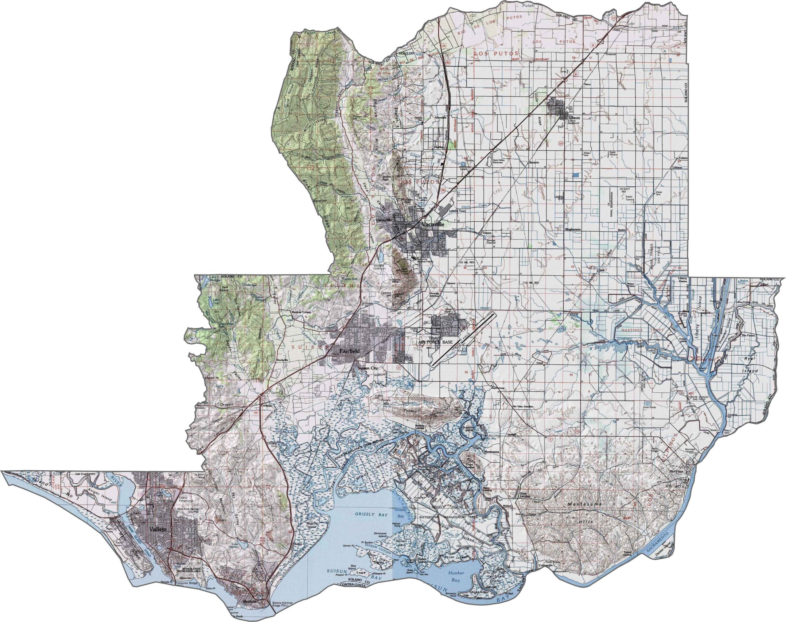
This topographic map highlights Solano County’s transition from delta wetlands to inland hills. The terrain includes marshlands, agricultural plains, and the western edge of California’s Central Valley, with gradual changes in elevation across the county.
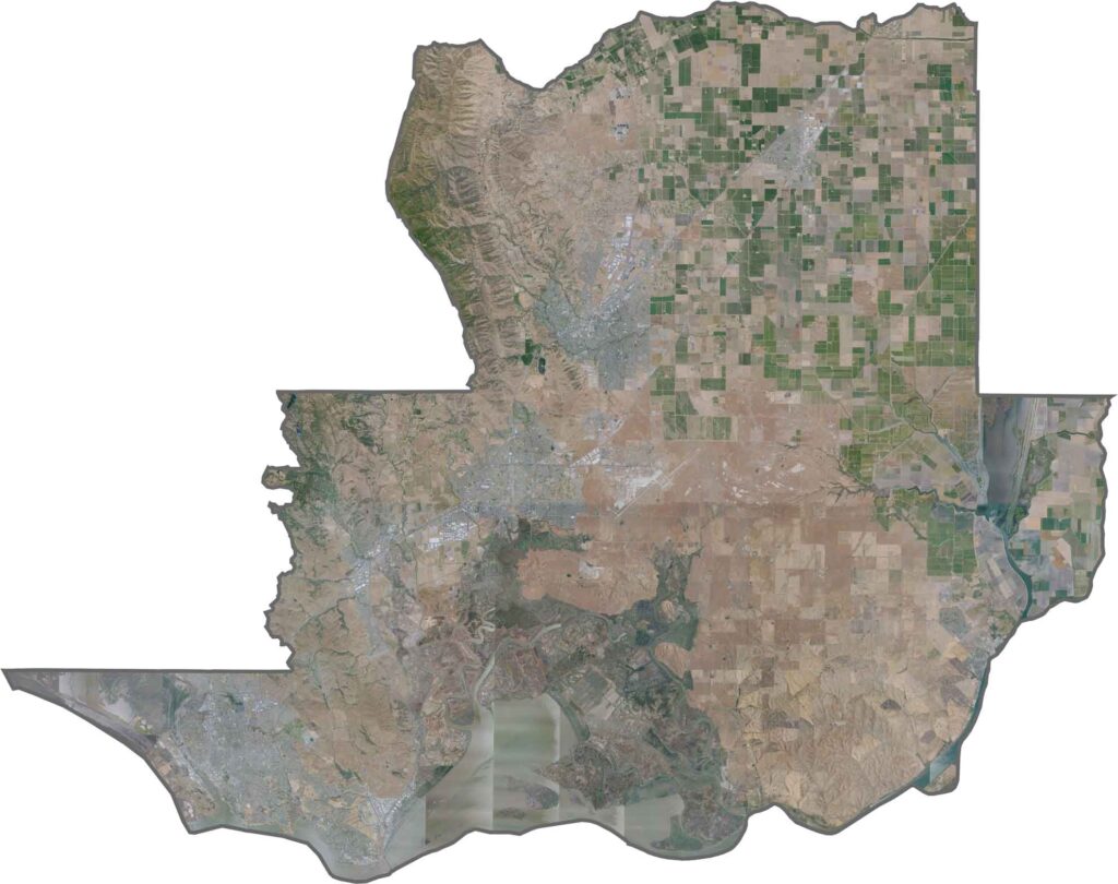
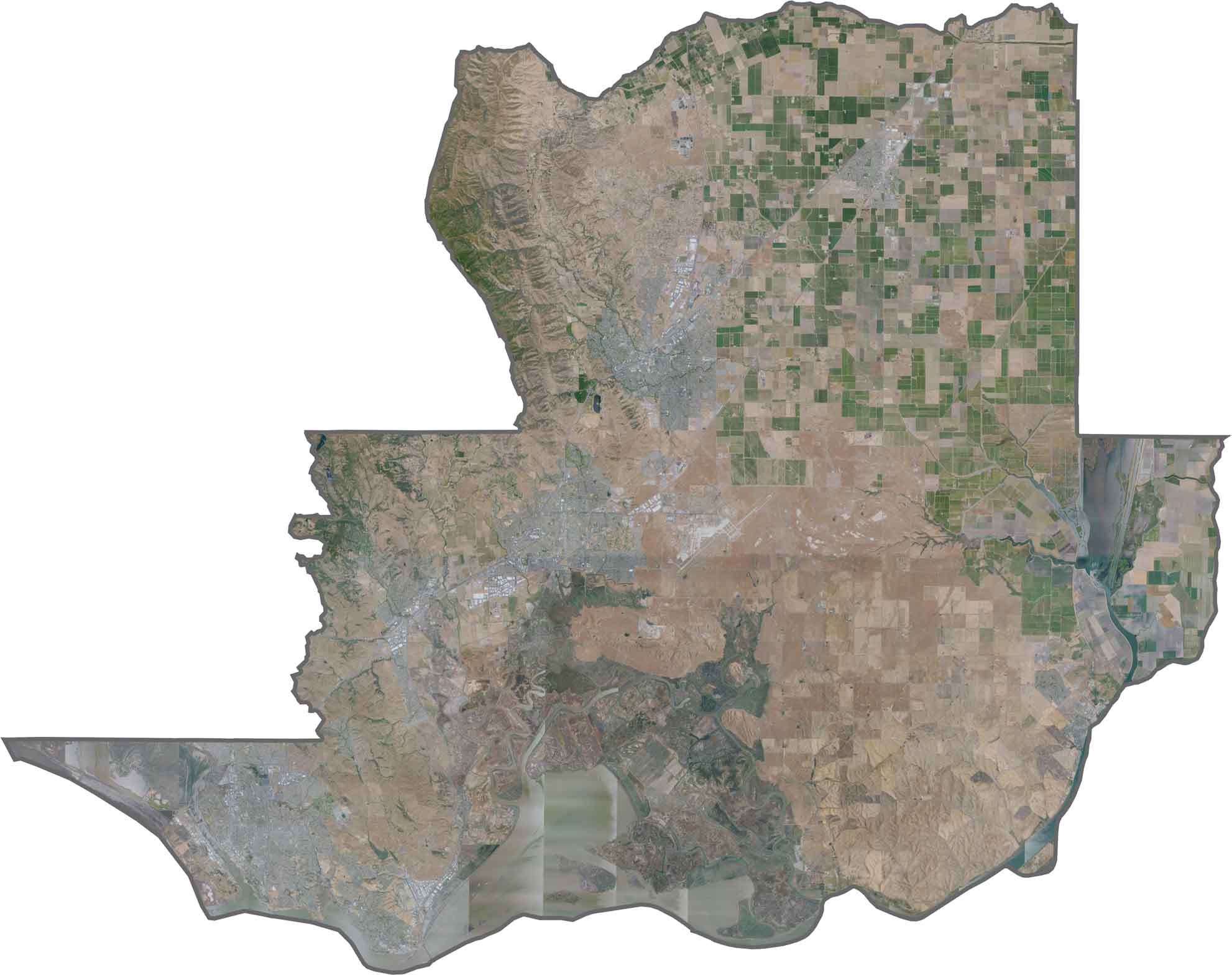
This satellite map reveals the distinctive wetlands around Suisun Bay, along with agricultural fields and expanding urban areas. Major transportation corridors connect the county’s communities and create visible patterns across the landscape.
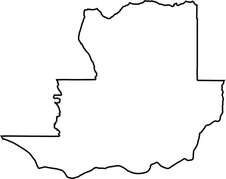
This blank map outlines Solano County’s irregular shape along the northeastern San Francisco Bay region. The southern boundary follows Suisun Bay, while the northern portion extends toward the Central Valley.








Ever wonder how California’s 58 counties are organized? Our California county map lays them all out, from the Pacific Coast to the vast desert regions. Explore the map to find the counties you know—and perhaps discover a few you don’t.