
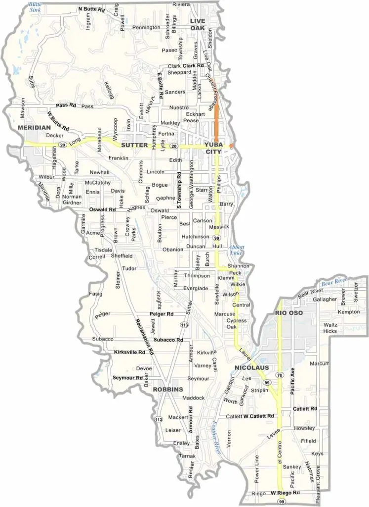
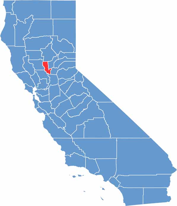
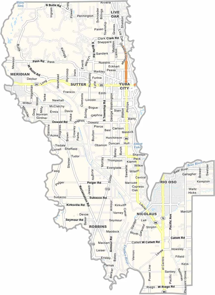
Sutter County is located in California’s Sacramento Valley and is known for its rich agricultural landscape. Yuba City is the county seat and largest city, located across the Feather River from Marysville.
The Sutter Buttes rise prominently from the surrounding valley and are often called the world’s smallest mountain range. Much of the county is covered by orchards and rice fields, with crops including peaches and prunes. Because flooding can be a concern, levees play an important role in protecting many communities and farmland.
Sutter County has a quiet, rural character. Wildlife refuges in the area provide excellent opportunities for birdwatching, while agriculture and small-town living remain central to the county’s identity.
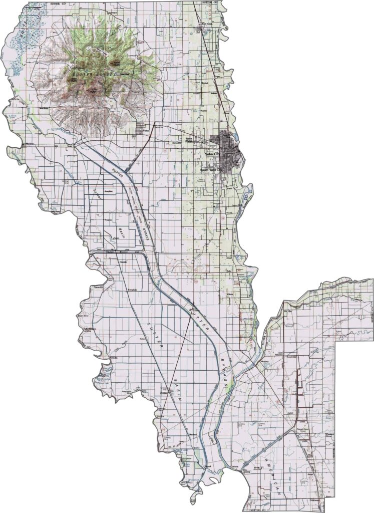
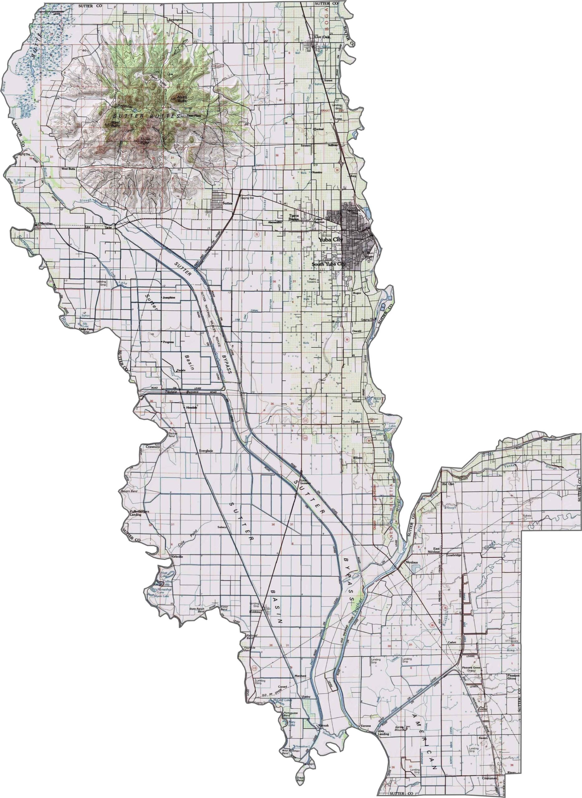
This topographic map highlights Sutter County’s distinctive terrain, with the Sutter Buttes rising dramatically from the otherwise flat Sacramento Valley floor. The contour lines reveal the elevation changes around this ancient volcanic formation.
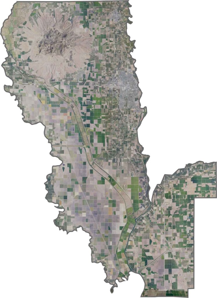
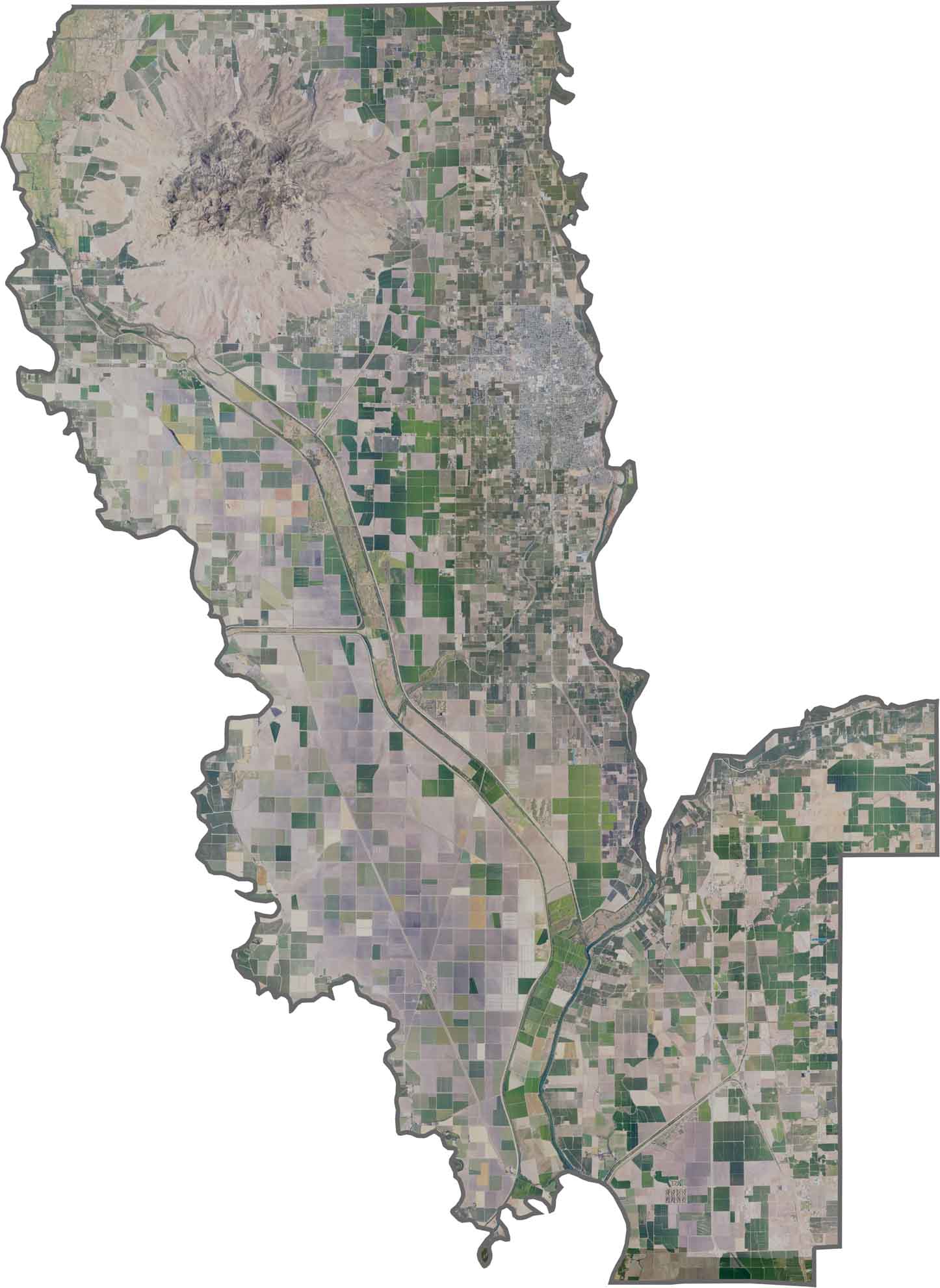
This satellite map shows the Sutter Buttes standing prominently above the surrounding agricultural landscape. Orchards, fields, and other farmland stretch across the flat Sacramento Valley around this distinctive geological feature.
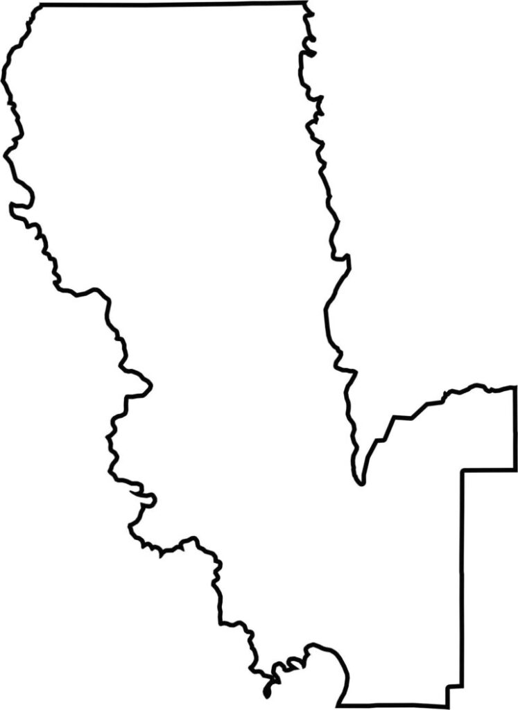
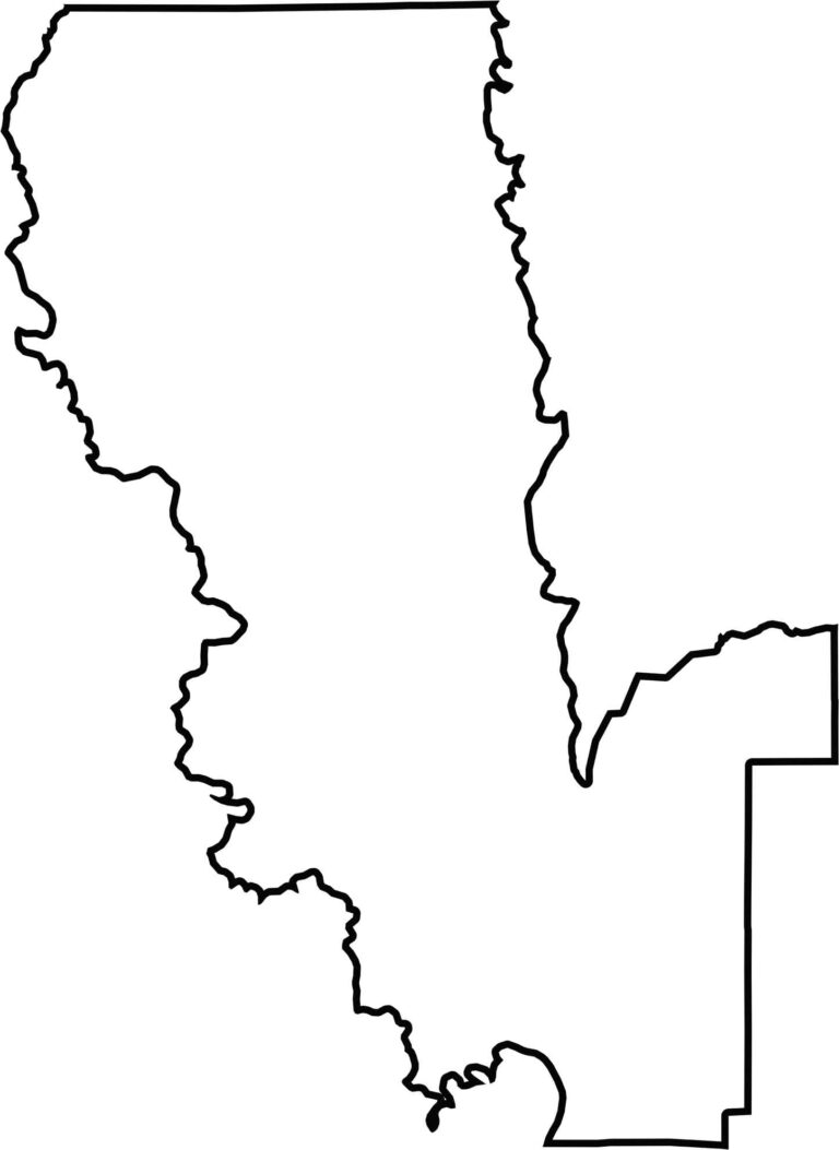
This blank map outlines Sutter County’s compact shape in the Sacramento Valley. The simple design provides a clear view of the county’s boundaries and encompasses the distinctive Sutter Buttes rising from the valley floor.







Ever wonder how California’s 58 counties are organized? Our California county map lays them all out, from the Pacific Coast to the vast desert regions. Explore the map to find the counties you know—and perhaps discover a few you don’t.