
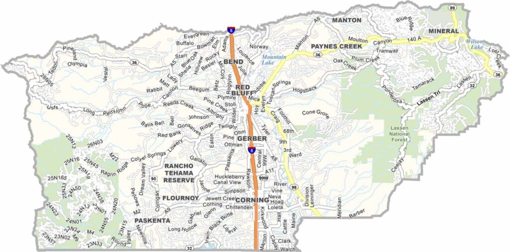
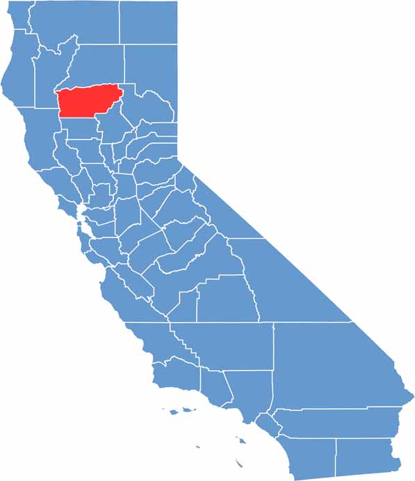
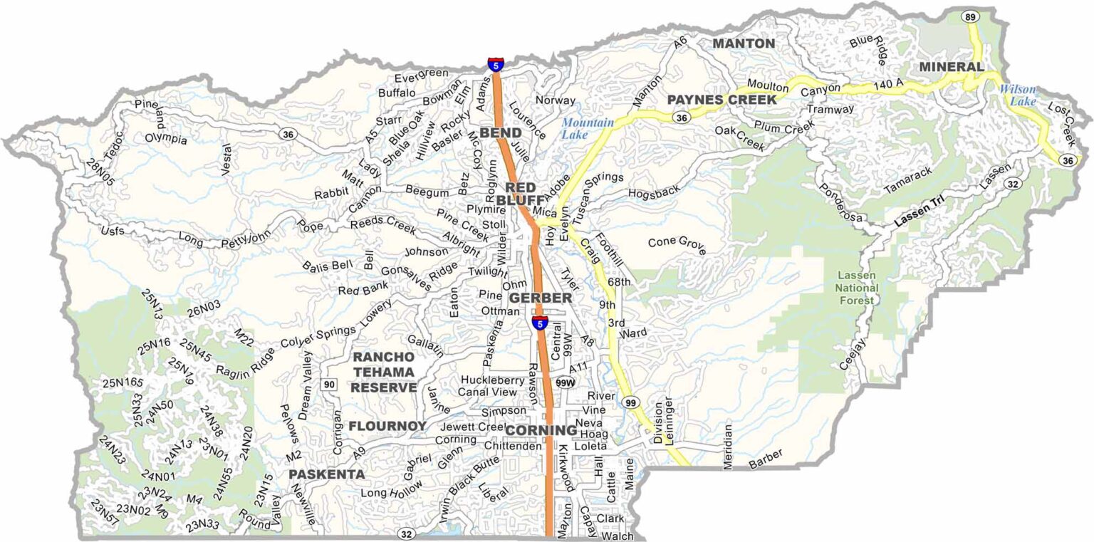
Tehama County is located in Northern California’s Sacramento Valley, a region of rolling hills, rivers, and productive agricultural land. Red Bluff serves as the county seat and is known for its historic downtown and the annual Red Bluff Round-Up, one of the West’s major rodeo events.
Interstate 5 runs through the county, making it a convenient stop between Sacramento and Redding. With a population of about 66,000 people, Tehama County is made up largely of small towns and rural communities.
Lassen Volcanic National Park is located east of the county. The Tehama Wildlife Area offers thousands of acres of grasslands and rugged canyons, while the Sacramento River provides excellent opportunities for fishing and other outdoor recreation.
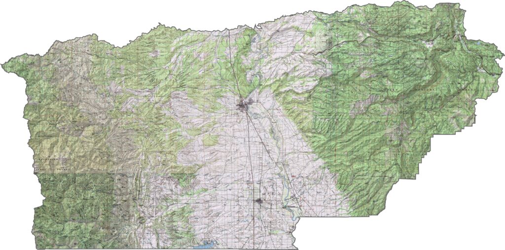
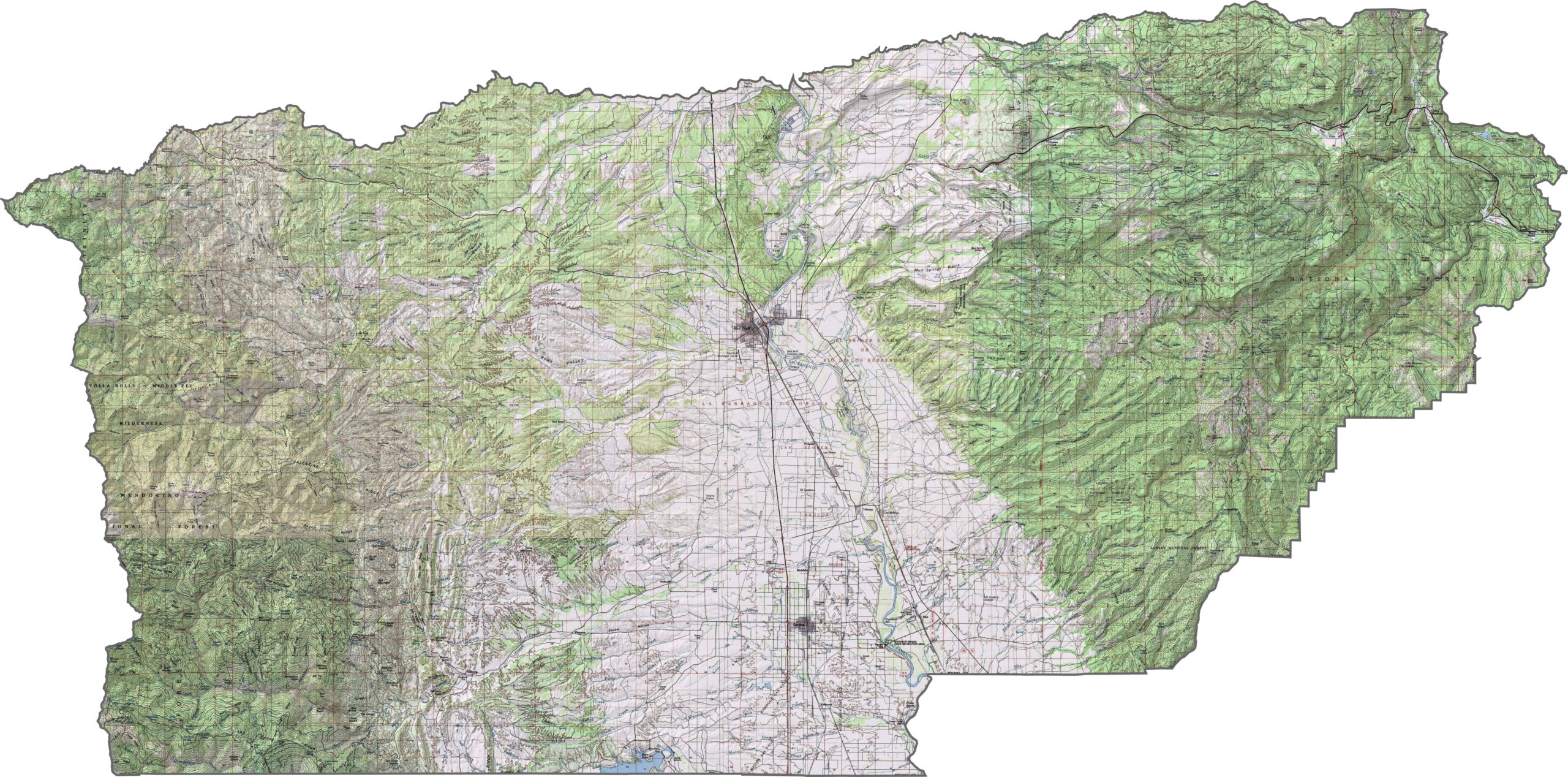
This topographic map highlights Tehama County’s transition from the Sacramento Valley to surrounding mountain ranges. The terrain rises from the flat valley floor toward higher elevations along the eastern and western boundaries.
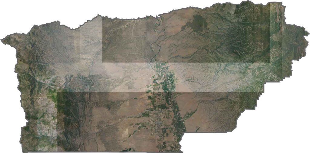
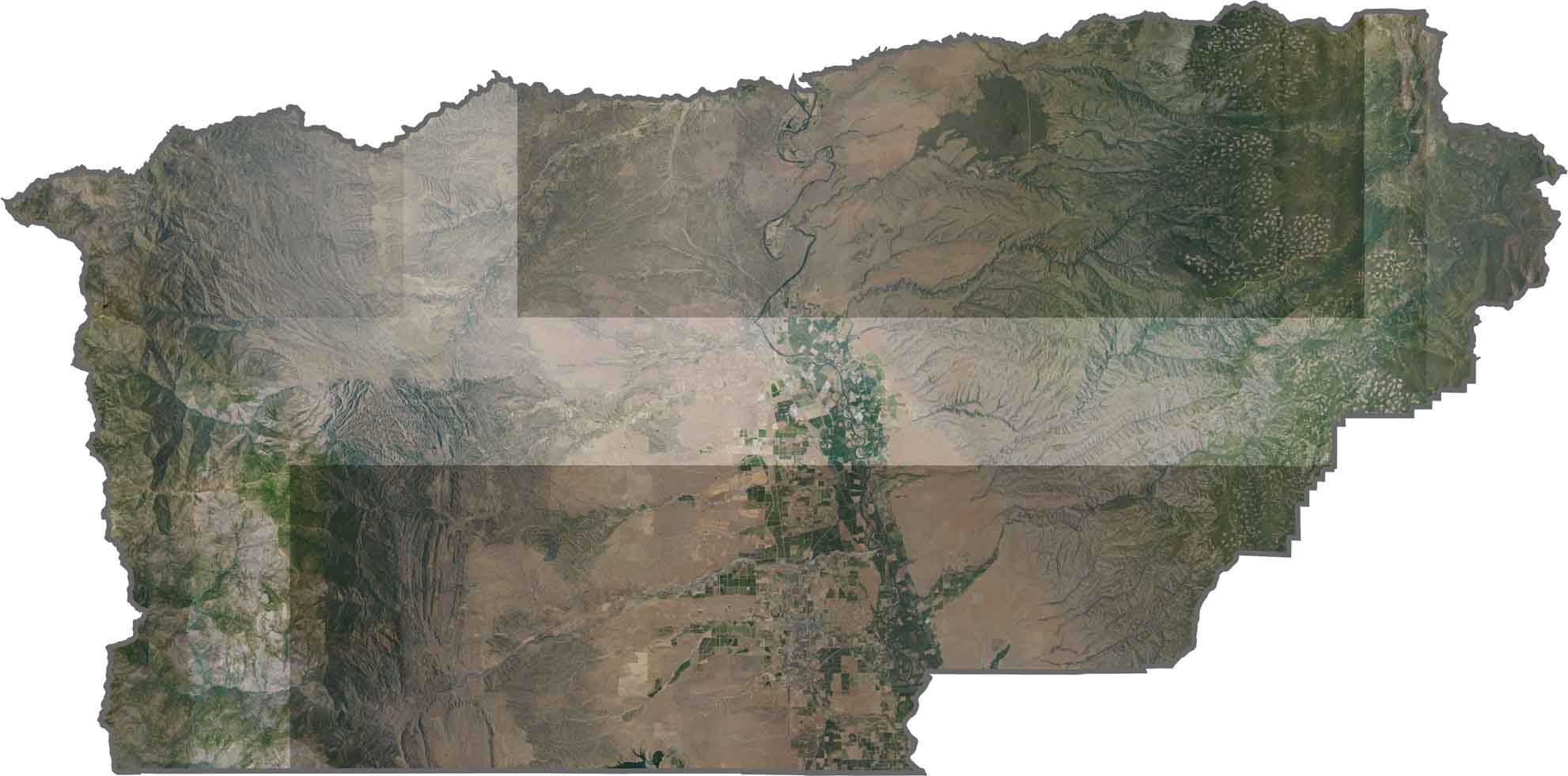
This satellite map shows the Sacramento River running through Tehama County from north to south. The central valley is framed by mountains to the east and foothills to the west, creating a diverse landscape.
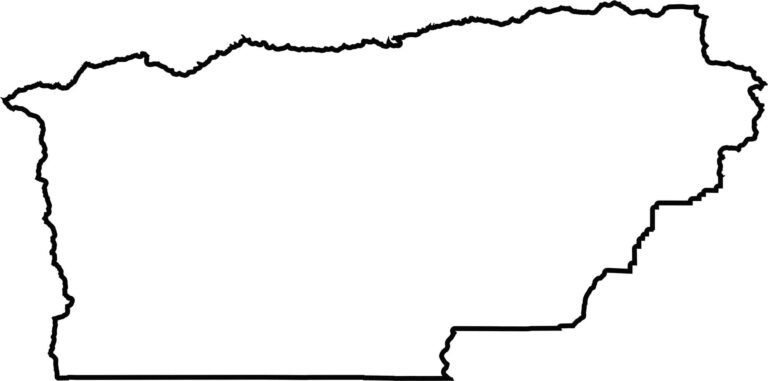
This blank map outlines Tehama County’s rectangular shape in Northern California’s Sacramento Valley. The eastern boundary extends toward the Cascade Range, while the western edge reaches into the Coast Range.








Ever wonder how California’s 58 counties are organized? Our California county map lays them all out, from the Pacific Coast to the vast desert regions. Explore the map to find the counties you know—and perhaps discover a few you don’t.