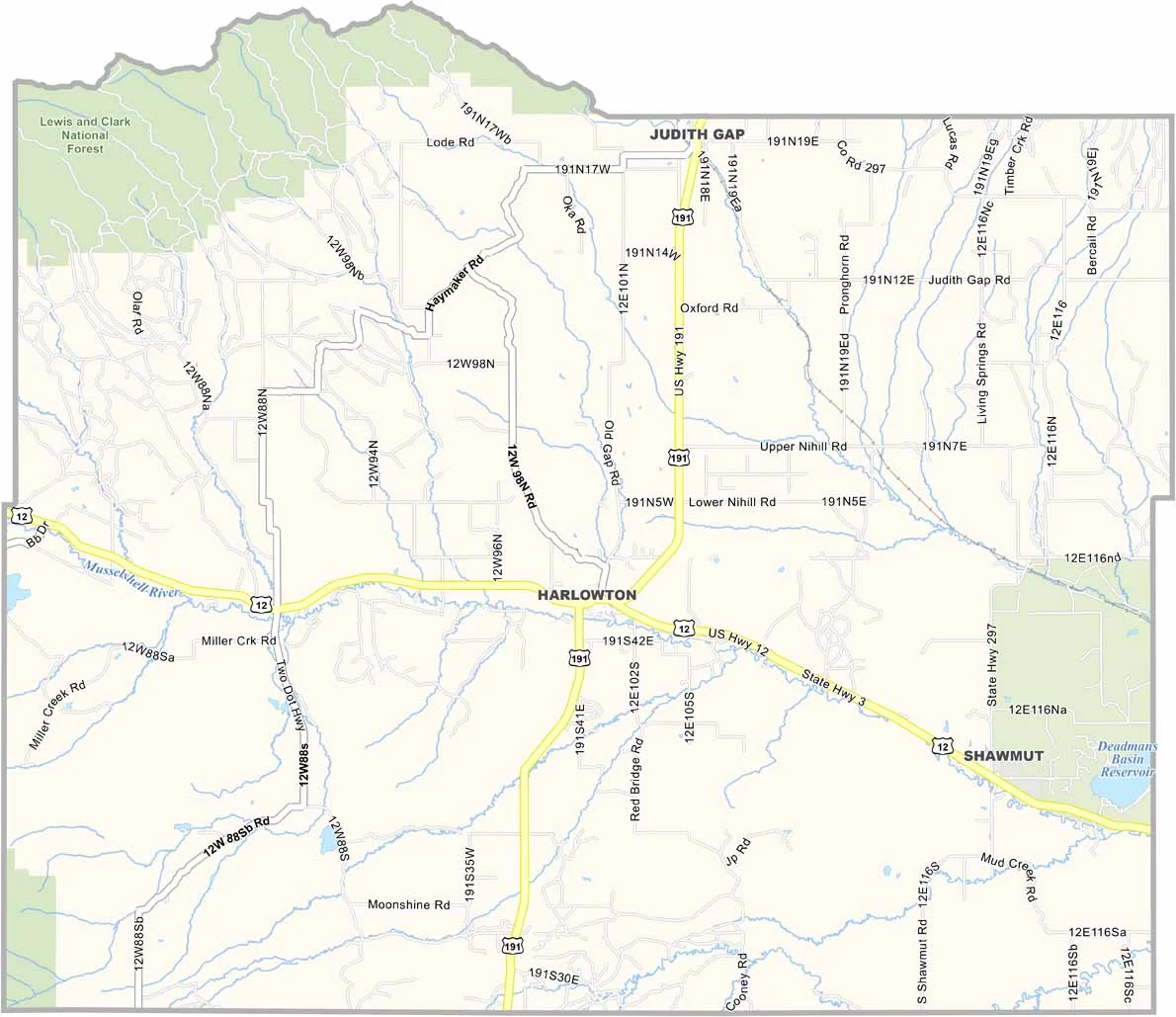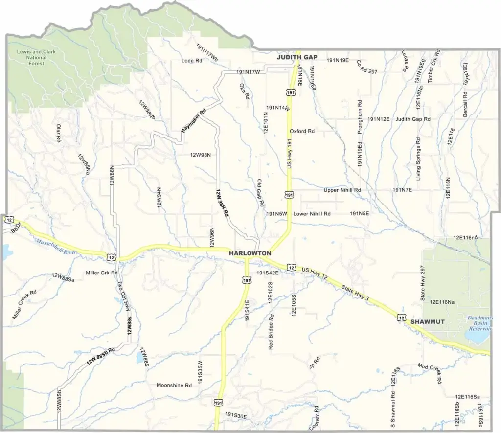
Wheatland County, Montana

Wheatland County sits in the heart of central Montana, surrounded by rolling prairies and the Big Belt Mountains. This rural part of Big Sky Country is home to just over 2,000 people spread across the area.

Harlowton is the county seat and serves as the local hub. Cattle ranching and wheat farming dominate the economy, with golden fields filling the landscape at harvest time. Yes, Wheatland definitely lives up to its name!

The Musselshell River winds through the landscape, including through Harlowton. Despite its small population, Wheatland County has a rich history, including strong ties to the Milwaukee Road railway.

CategoryDetails
County NameWheatland County
County SeatHarlowton
EtymologyNamed after the abundance of wheat grown in the area
Cities, Towns, and CommunitiesHarlowton, Judith Gap, Shawmut
Interstates and HighwaysUS 12, US 191
FIPS Code30-107
Total Area (Land and Water)1,428 square miles (Land: 1,423 sq mi, Water: 5 sq mi)
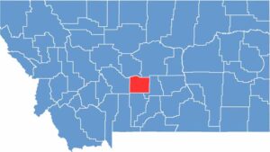
Adjacent Counties (and Direction)Judith Basin County (North), Fergus County (North), Golden Valley County (East), Sweet Grass County (South), Meagher County (West)
Time ZoneMountain Time Zone (MT)
StateMontana
Coordinates46.4330° N, 109.8361° W
Major LandmarksBair Family Museum, Crazy Mountains, Chief Joseph Park
PopulationApproximately 2,100
Scroll to Top