
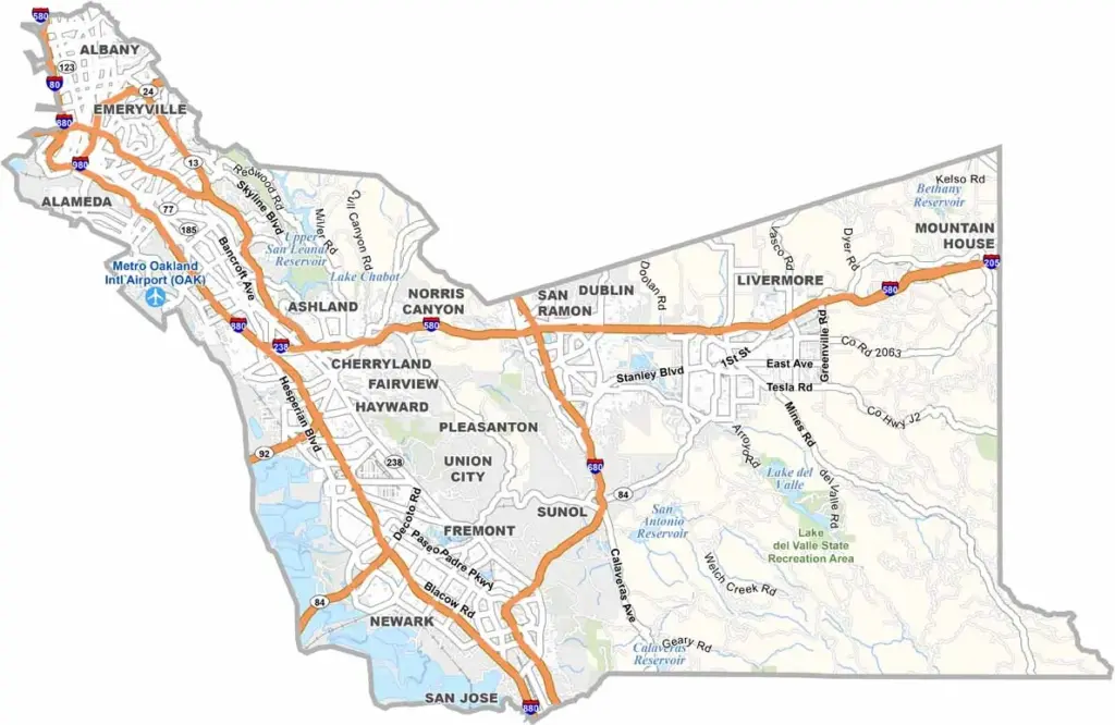
Alameda County sits on the eastern side of San Francisco Bay and is home to major cities including Oakland, Berkeley, and Fremont. The county blends diverse communities, technology, education, and industry, with its southern portion connected to the broader Silicon Valley region.
With a population of more than 1.6 million, Alameda County is one of the most populous counties in California. The University of California, Berkeley, is one of its best-known institutions and attracts students and researchers from around the world.
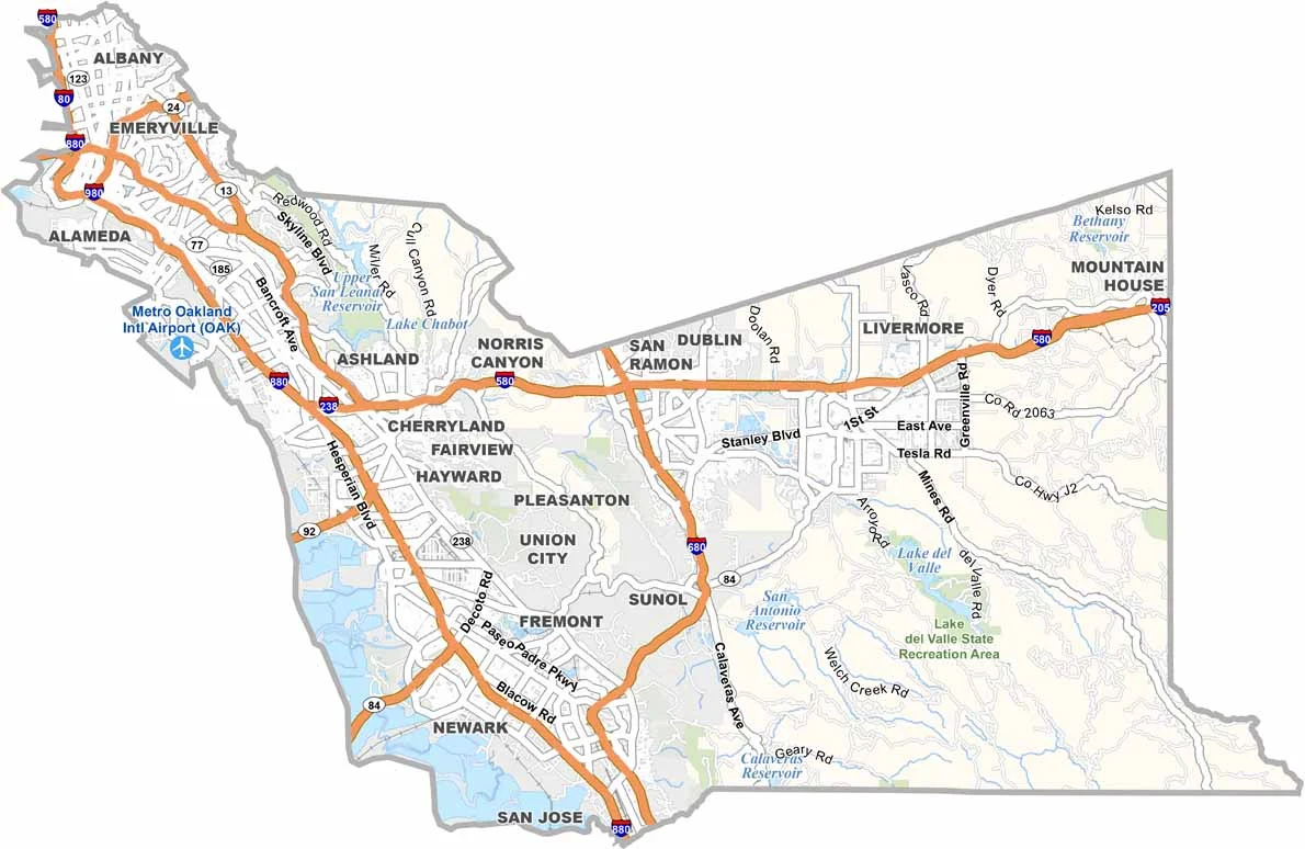
Interstates 580 and 880 are major transportation routes through the county, connecting its cities and suburbs with the wider Bay Area. Oakland also has a long sports history, including the former home of the Raiders at the Oakland Coliseum before the team relocated to Las Vegas. With its urban centers, universities, technology businesses, and bayfront communities, Alameda County is a major part of the Bay Area.
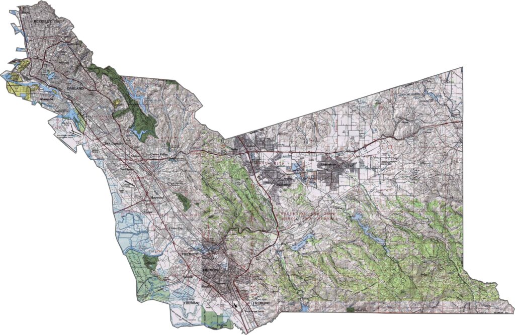
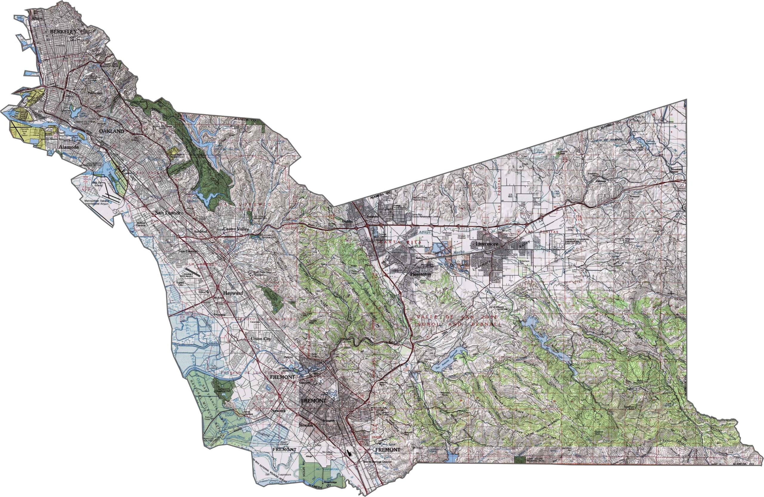
This topographic map highlights Alameda County’s varied terrain, from the flat shoreline of San Francisco Bay to the rolling inland hills and higher elevations in the east. Use our zoom tool to explore the county’s changing landscape in greater detail.
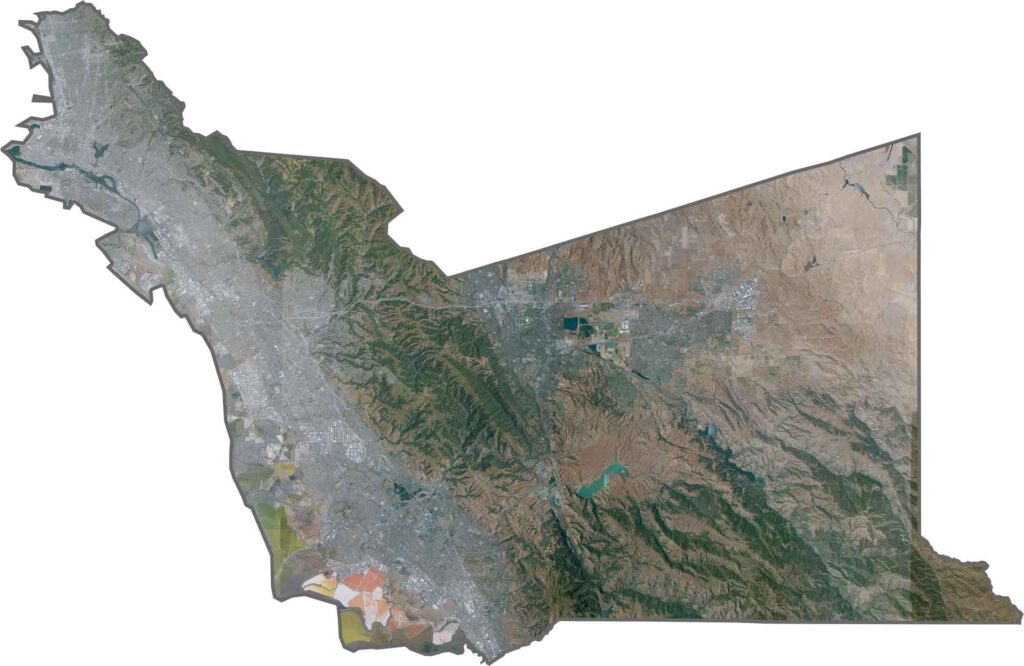
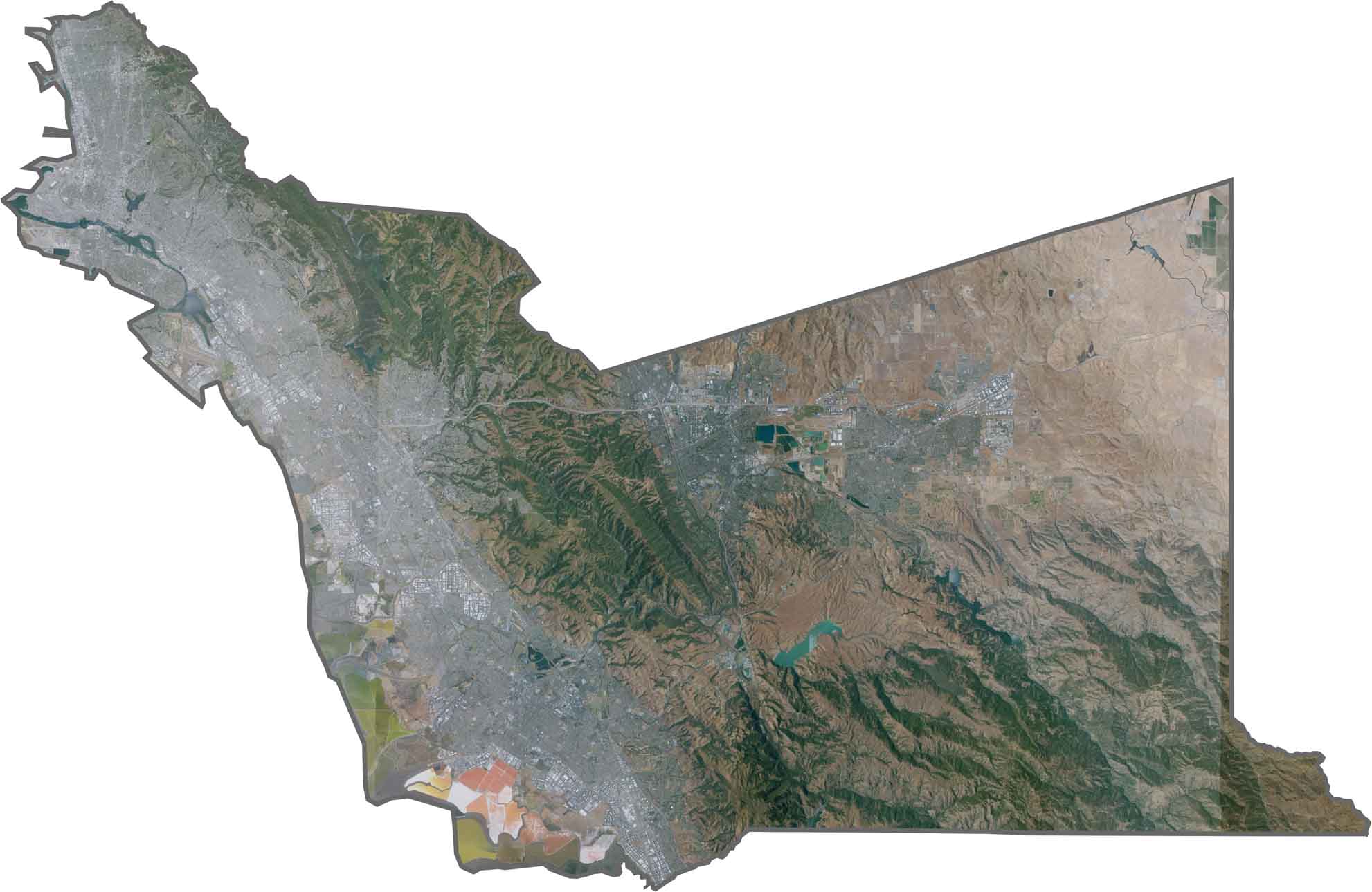
This satellite map shows dense urban development along the eastern shore of San Francisco Bay. Major cities and developed areas contrast sharply with the open spaces and natural landscapes of the eastern hills.
This blank map outlines Alameda County’s distinctive shape, including its extensive bay shoreline and eastern boundary. The simple template provides a foundation for adding major cities, geographic features, transportation routes, and other landmarks.









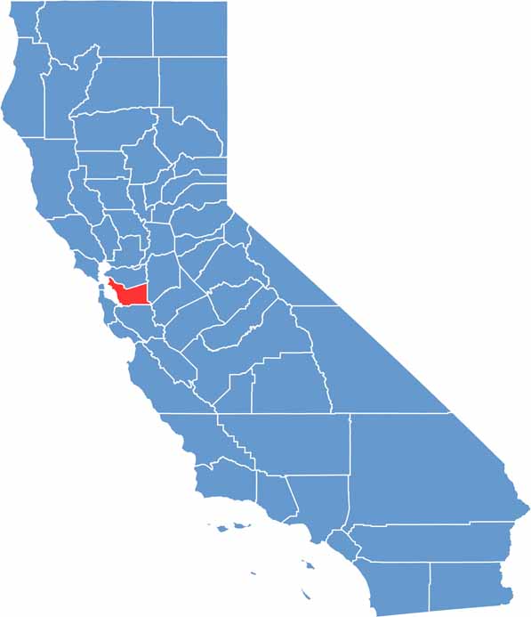
Ever wonder how California’s 58 counties are organized? Our California county map lays them all out, from the Pacific Coast to the vast desert regions. Explore the map to find the counties you know—and perhaps discover a few you don’t.