Meagher County, Montana

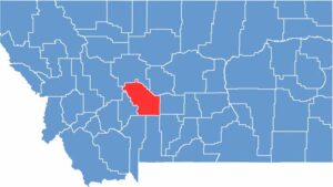
Meagher County lies in the heart of central Montana, where the mountains meet the plains. It’s pronounced “Marr,” by the way—locals will appreciate it if you get it right.

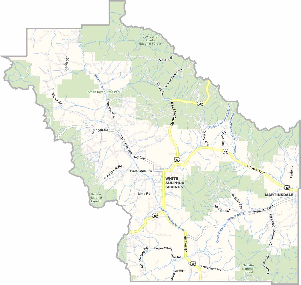
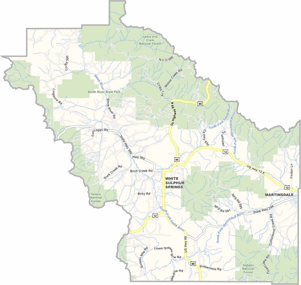
White Sulphur Springs, the county seat, is famous for its hot springs. Trust me, there’s nothing quite like soaking in those warm waters after a long day of exploring.

The county is a mix of ranch land and wilderness. You can go from casting a line in a crystal-clear stream to watching a rodeo in the span of an afternoon. The Castle Mountains rise from the grasslands, offering some killer hiking trails. Winters are tough, but the cross-country skiing is top-notch.

CategoryDetails
County NameMeagher County
County SeatWhite Sulphur Springs
EtymologyNamed after Thomas Francis Meagher, an acting governor of the Montana Territory
Cities, Towns, and CommunitiesWhite Sulphur Springs, Martinsdale, Ringling
Interstates and HighwaysUS 12, MT 89
FIPS Code30-059
Total Area (Land and Water)2,395 square miles (Land: 2,391 sq mi, Water: 4 sq mi)
Adjacent Counties (and Direction)Cascade County (North), Judith Basin County (Northeast), Wheatland County (East), Sweet Grass County (Southeast), Park County (South), Gallatin County (South), Broadwater County (West), Lewis and Clark County (Northwest)
Time ZoneMountain Time Zone (MT)
StateMontana
Coordinates46.5032° N, 110.8766° W
Major LandmarksCastle Town Ghost Town, Smith River State Park, Hot Springs State Park
PopulationApproximately 1,900
Scroll to Top