
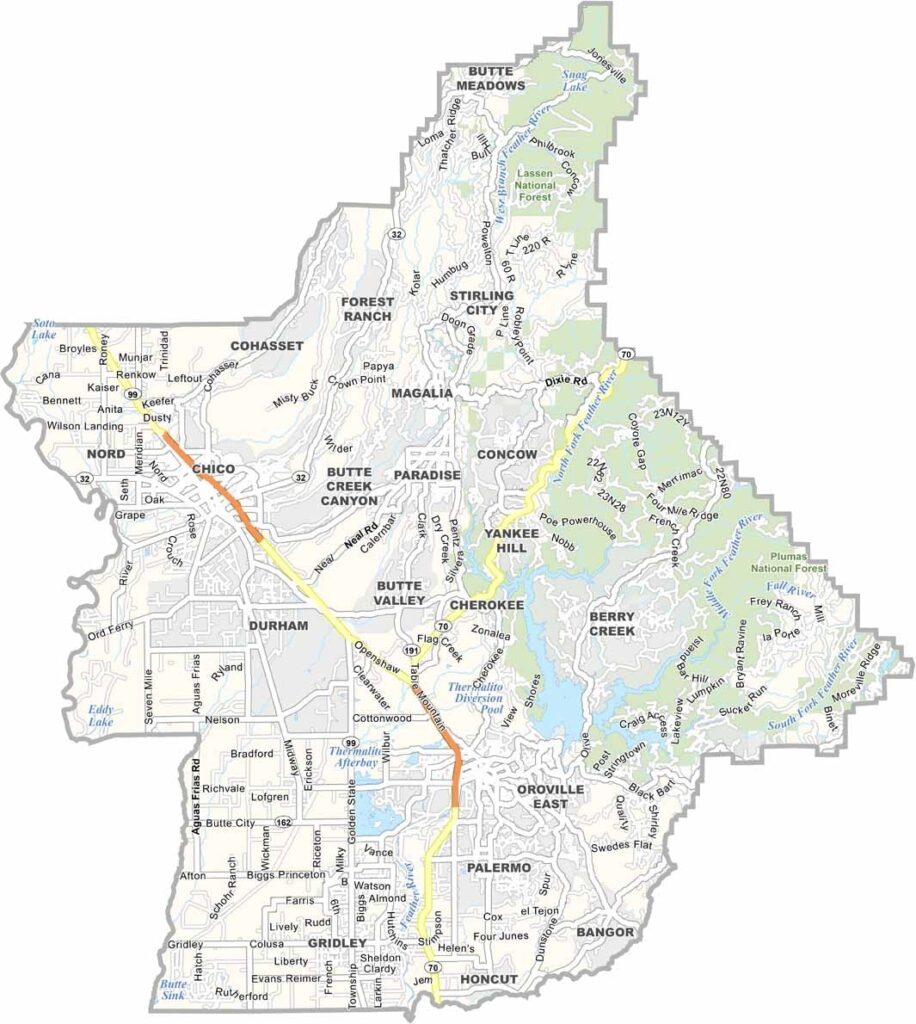
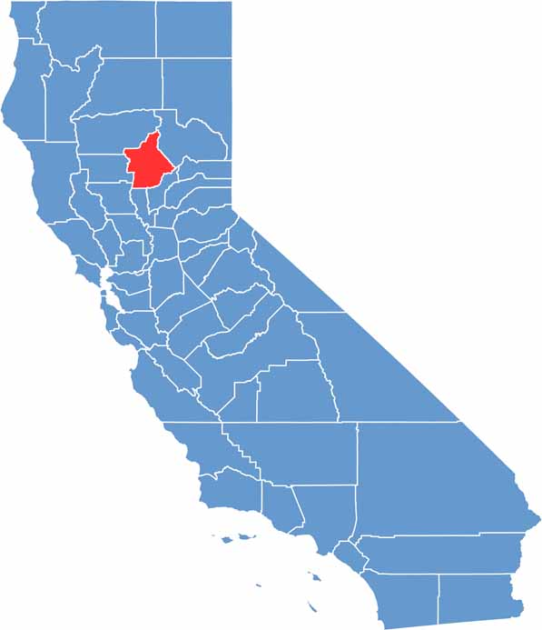
Butte County is located in Northern California’s Sacramento Valley and is home to Chico, one of the region’s largest communities. The county also has a strong connection to craft brewing, as Sierra Nevada Brewing Company was founded in Chico.
Bidwell Park is one of Butte County’s most popular attractions and is among the largest municipal parks in the United States. Its extensive trails, wooded landscapes, and swimming areas make it a favorite destination for hiking, cycling, and outdoor recreation.
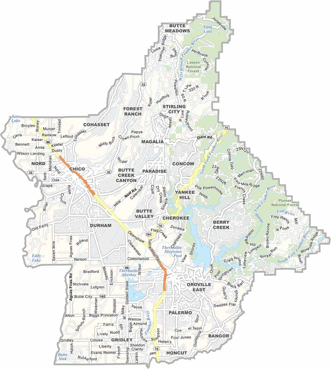
State Route 99 runs along the western side of the county, connecting Chico with surrounding communities. Beyond the cities, Butte County is characterized by rolling foothills and fertile farmland, with rich soils supporting crops such as almonds, rice, walnuts, and other agricultural products.
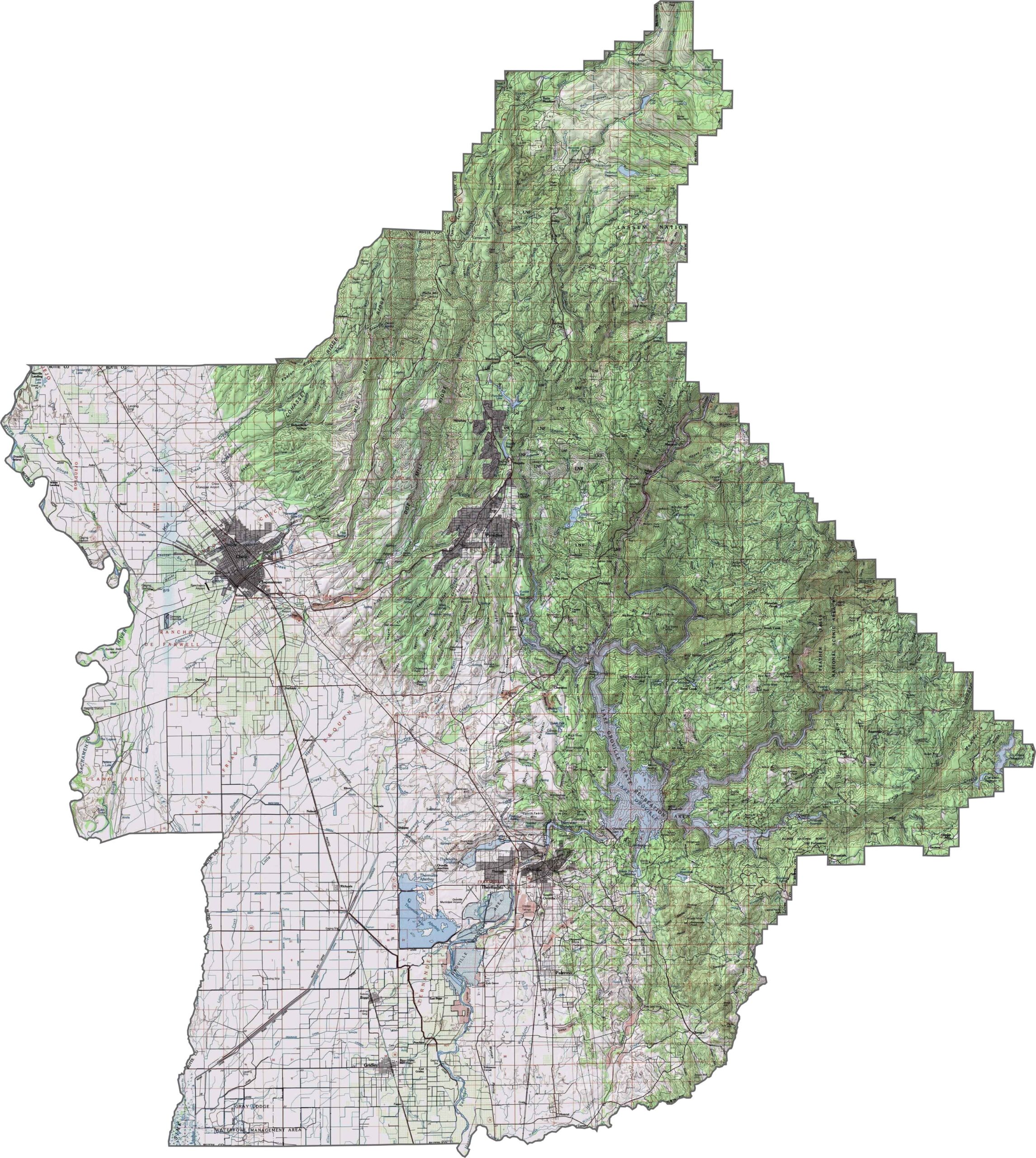
This topographic map highlights Calaveras County’s rolling Sierra Nevada foothills, with river canyons and elevations increasing toward the east. Use our zoom tool to explore the county’s changing terrain in greater detail.
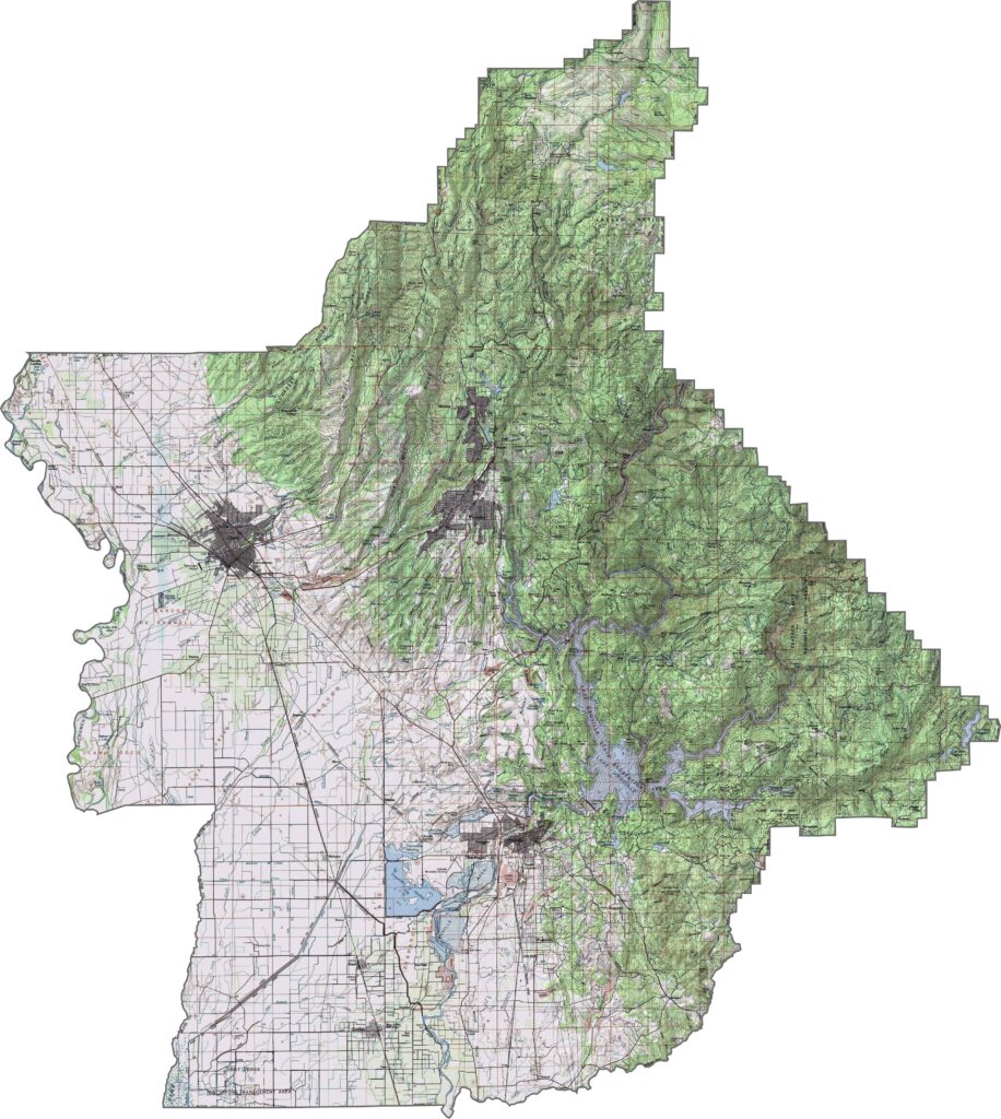
This topographic map highlights Calaveras County’s rolling Sierra Nevada foothills, with river canyons and elevations increasing toward the east. Use our zoom tool to explore the county’s changing terrain in greater detail.
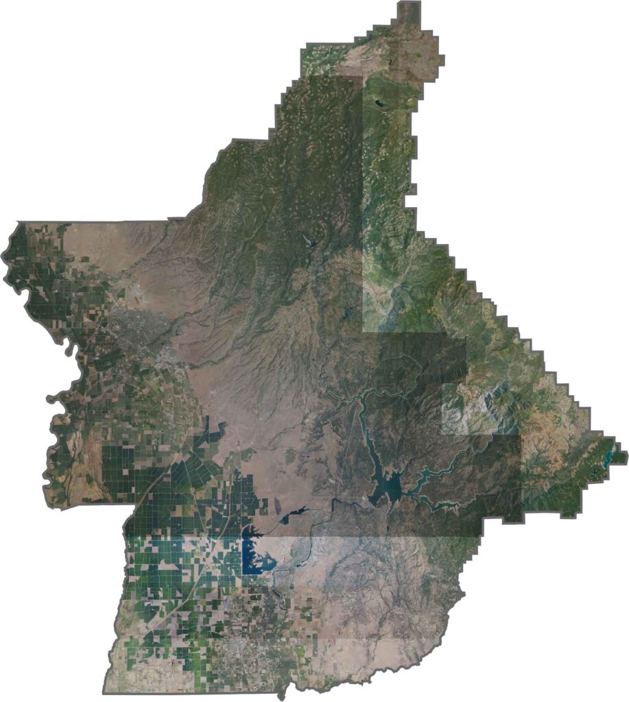
This topographic map highlights Calaveras County’s rolling Sierra Nevada foothills, with river canyons and elevations increasing toward the east. Use our zoom tool to explore the county’s changing terrain in greater detail.








Ever wonder how California’s 58 counties are organized? Our California county map lays them all out, from the Pacific Coast to the vast desert regions. Explore the map to find the counties you know—and perhaps discover a few you don’t.