
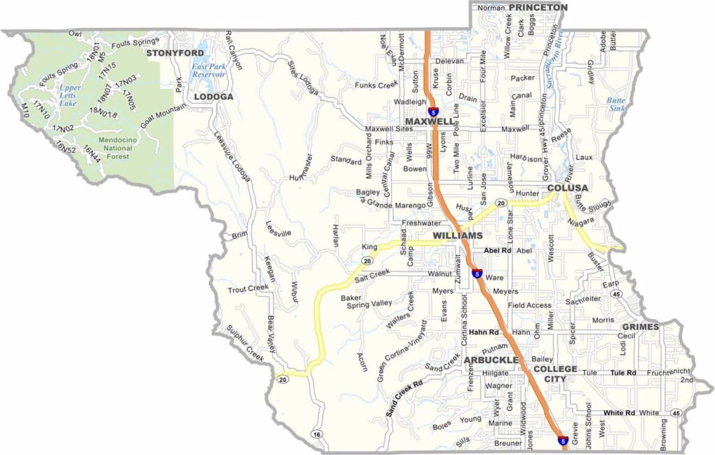
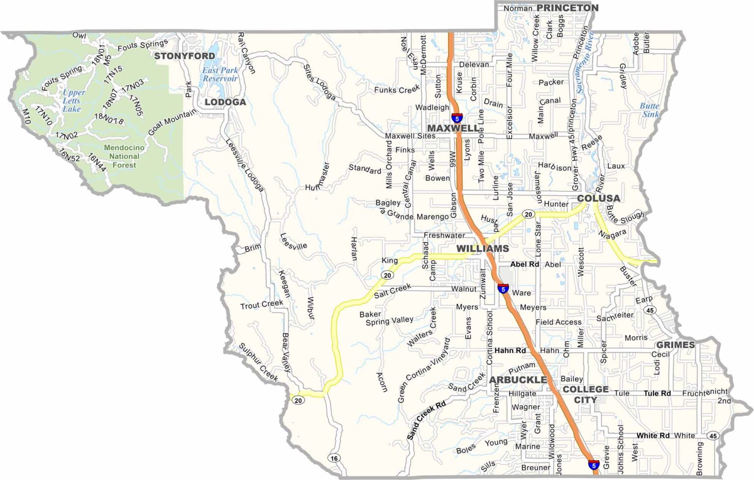
Colusa County is located in the northern Sacramento Valley, where Interstate 5 and the Sacramento River provide important geographic and transportation connections. Colusa serves as the county seat and has a small-town population of fewer than 6,000 residents.
Outdoor recreation is a major attraction, particularly at Colusa National Wildlife Refuge. The refuge provides excellent opportunities for birdwatching and attracts hunters during the annual waterfowl season.
The northwestern part of the county reaches into the Mendocino National Forest, offering hiking, camping, and scenic mountain landscapes. With its agricultural valley floor, wildlife habitat, and nearby forests, Colusa County combines rural living with plenty of outdoor opportunities.
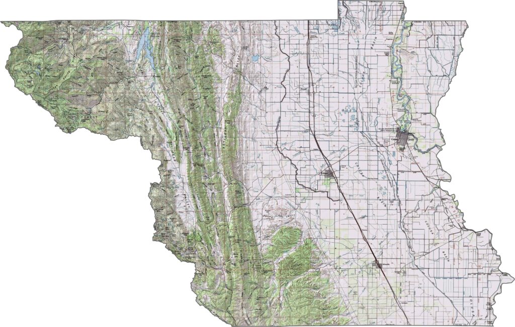
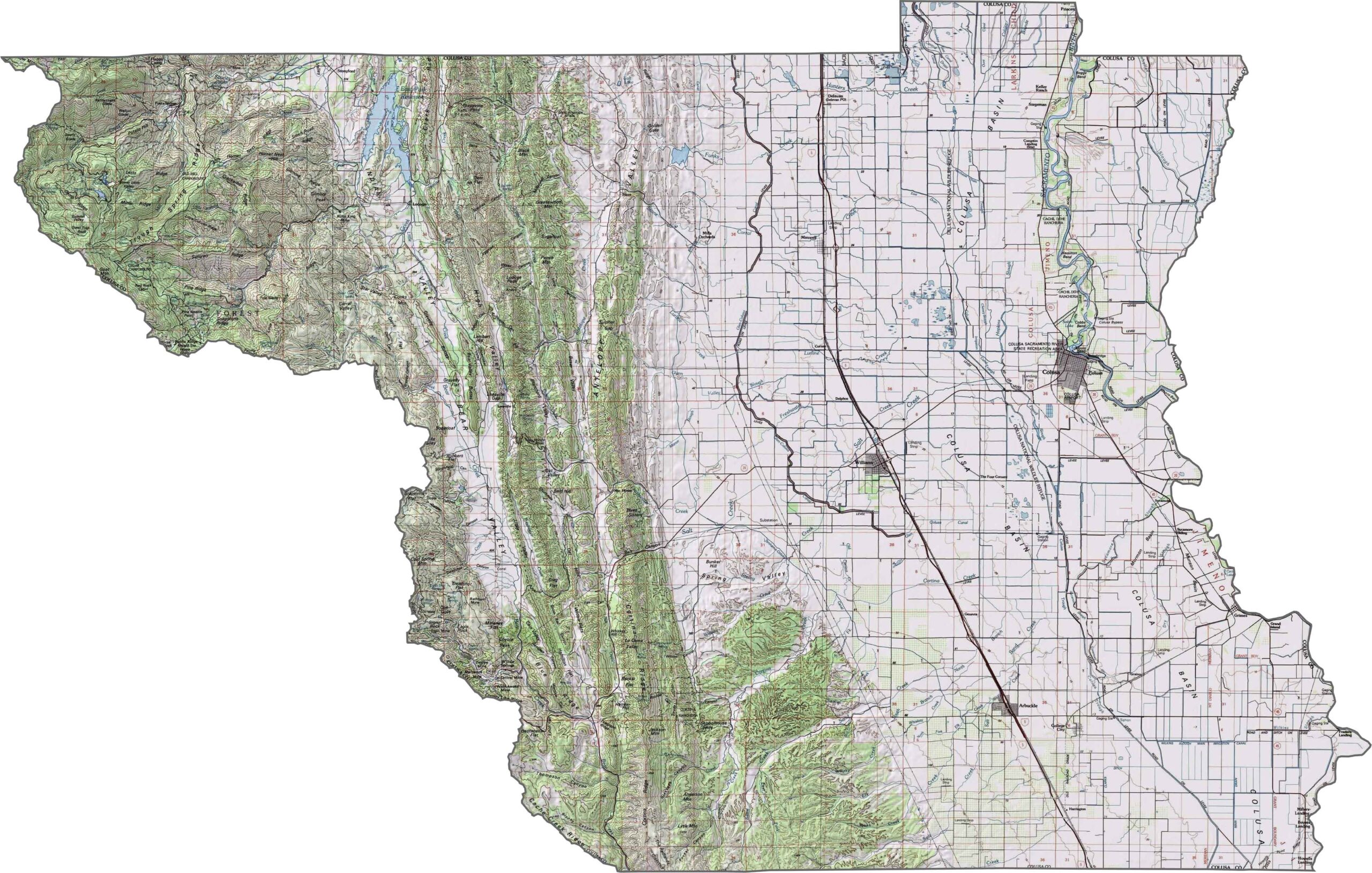
This topographic map highlights Colusa County’s transition from the flat Sacramento Valley to the rugged Coast Range. The detailed contours reveal how the terrain gradually rises toward the western portion of the county.
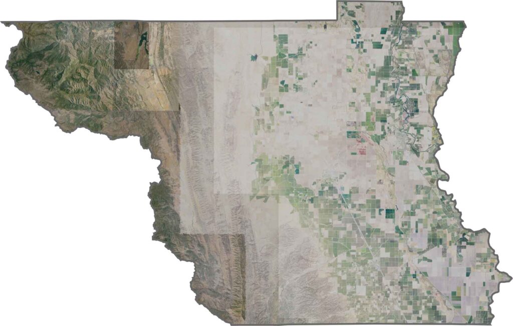
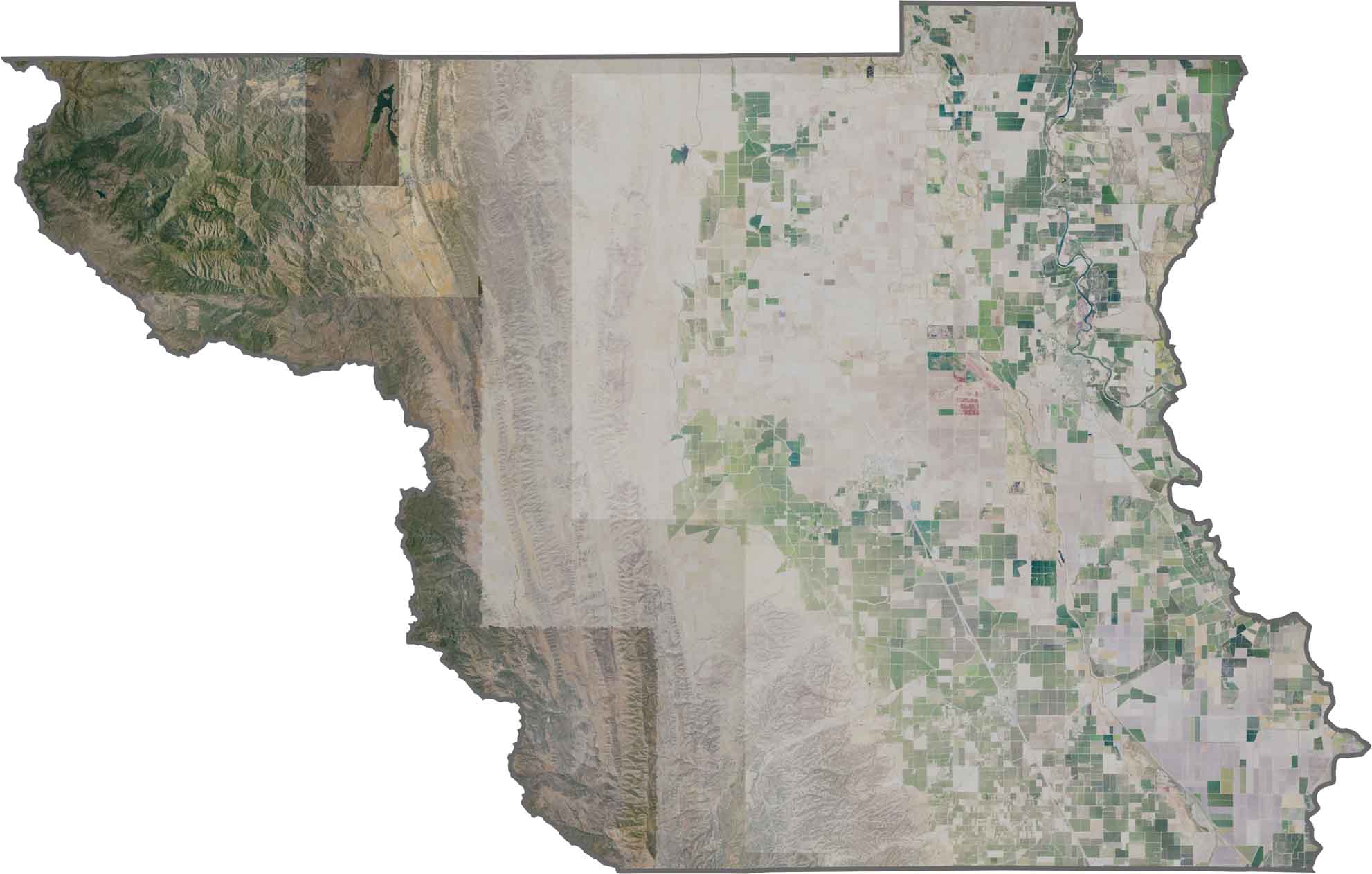
This satellite map shows the strong agricultural character of Colusa County, with geometric farm fields covering much of the valley floor. The Sacramento River curves through the eastern portion, while hills and higher terrain rise toward the west.
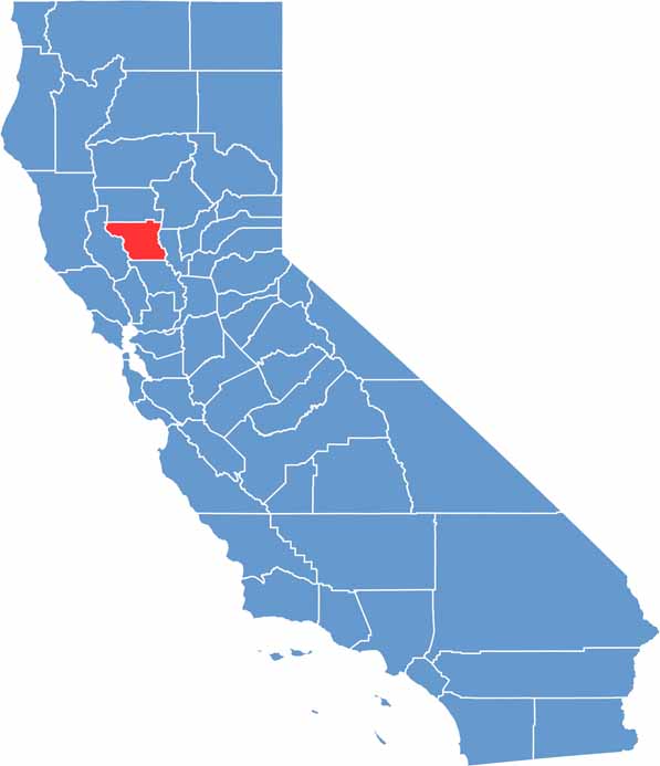
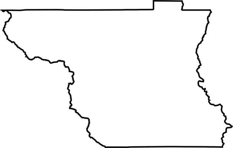
This blank map outlines Colusa County’s rectangular shape in the Sacramento Valley. The western boundary extends along the Coast Range, while the eastern edge follows the Sacramento River, emphasizing the county’s transition from farmland to foothills.








Ever wonder how California’s 58 counties are organized? Our California county map lays them all out, from the Pacific Coast to the vast desert regions. Explore the map to find the counties you know—and perhaps discover a few you don’t.