
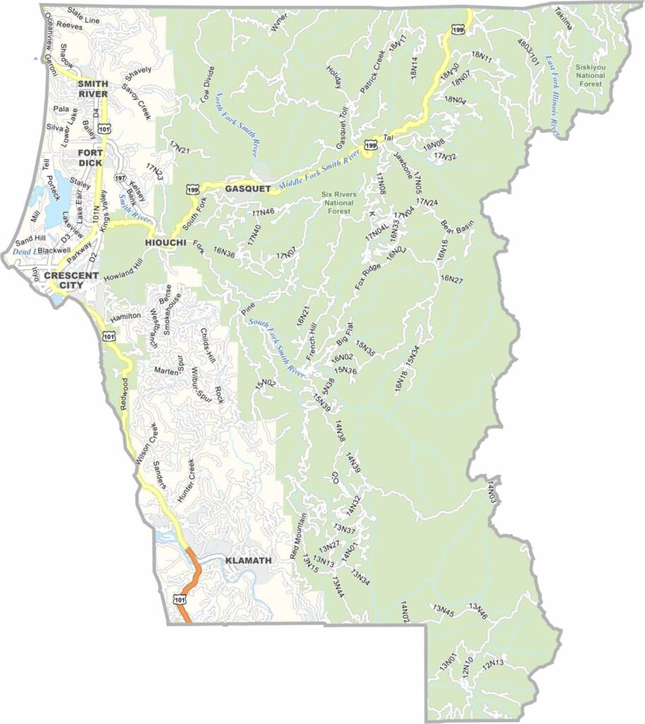
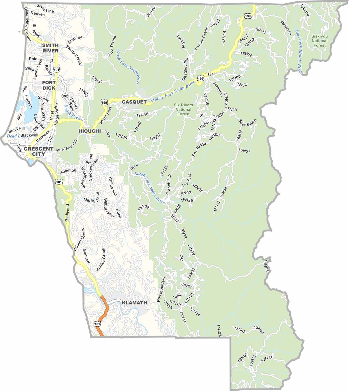
Del Norte County sits in the far northwestern corner of California, where towering redwood forests meet a rugged Pacific coastline. With a population of around 28,000 people, it is one of the state’s smaller and more remote counties, but its natural scenery is anything but small.
Crescent City serves as the county seat and main community. Located along the coast, it provides a convenient gateway to Redwood National and State Parks, where visitors can explore some of the world’s tallest trees.
The county is also known for its historic coastal landmarks, including Battery Point Lighthouse, which has guided ships since 1856. Remote, scenic, and surrounded by forests and ocean, Del Norte County offers a striking glimpse of California’s wild northern coast.
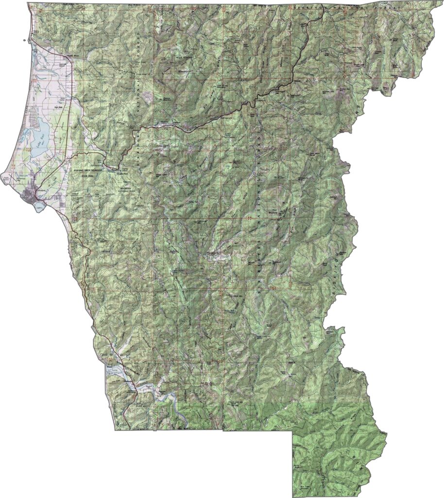
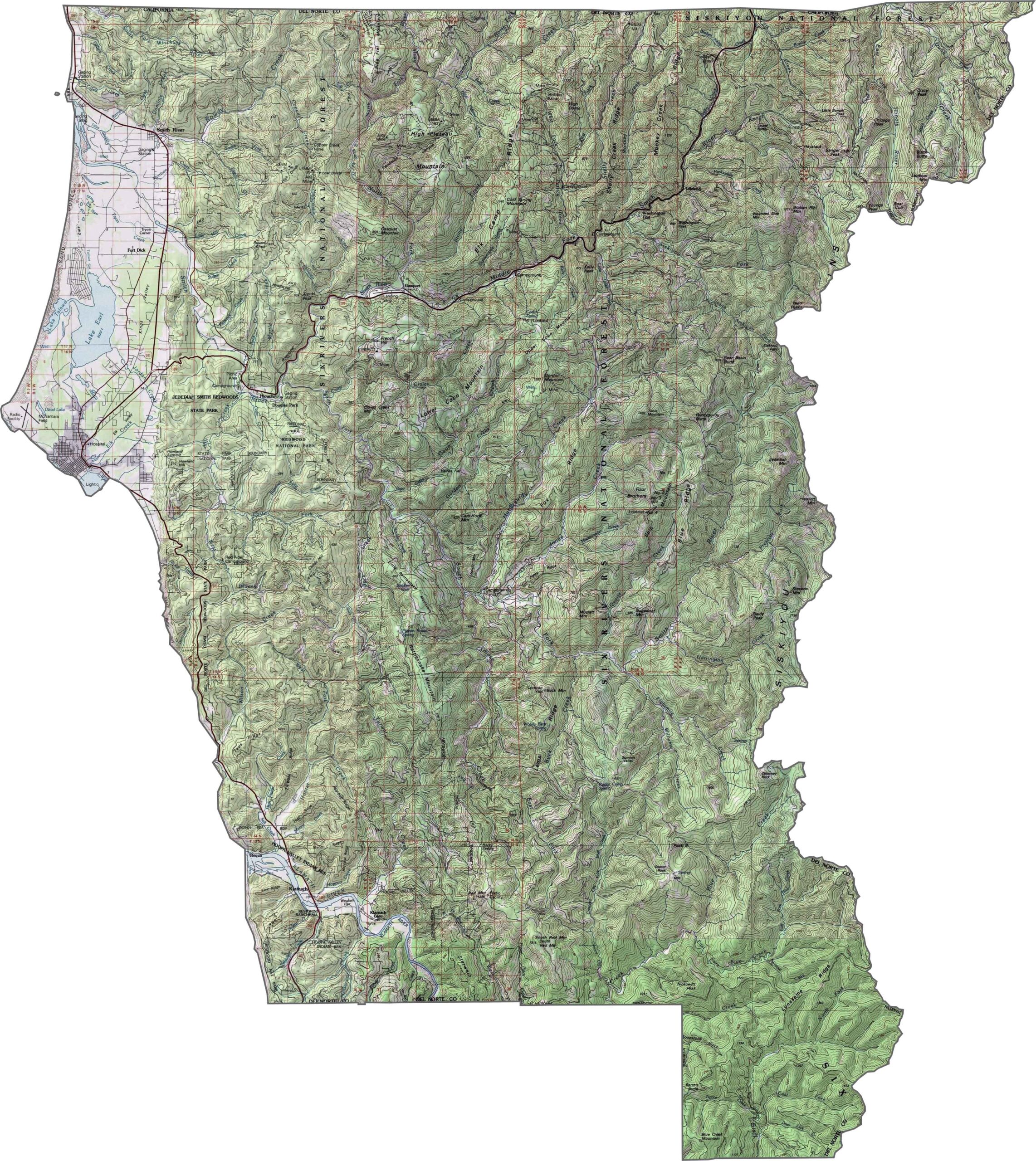
This topographic map highlights Del Norte County’s rugged terrain, with significant elevation changes between the Pacific coastline, river valleys, and forested mountains. Use our zoom tool to explore the county’s varied landscape in greater detail.
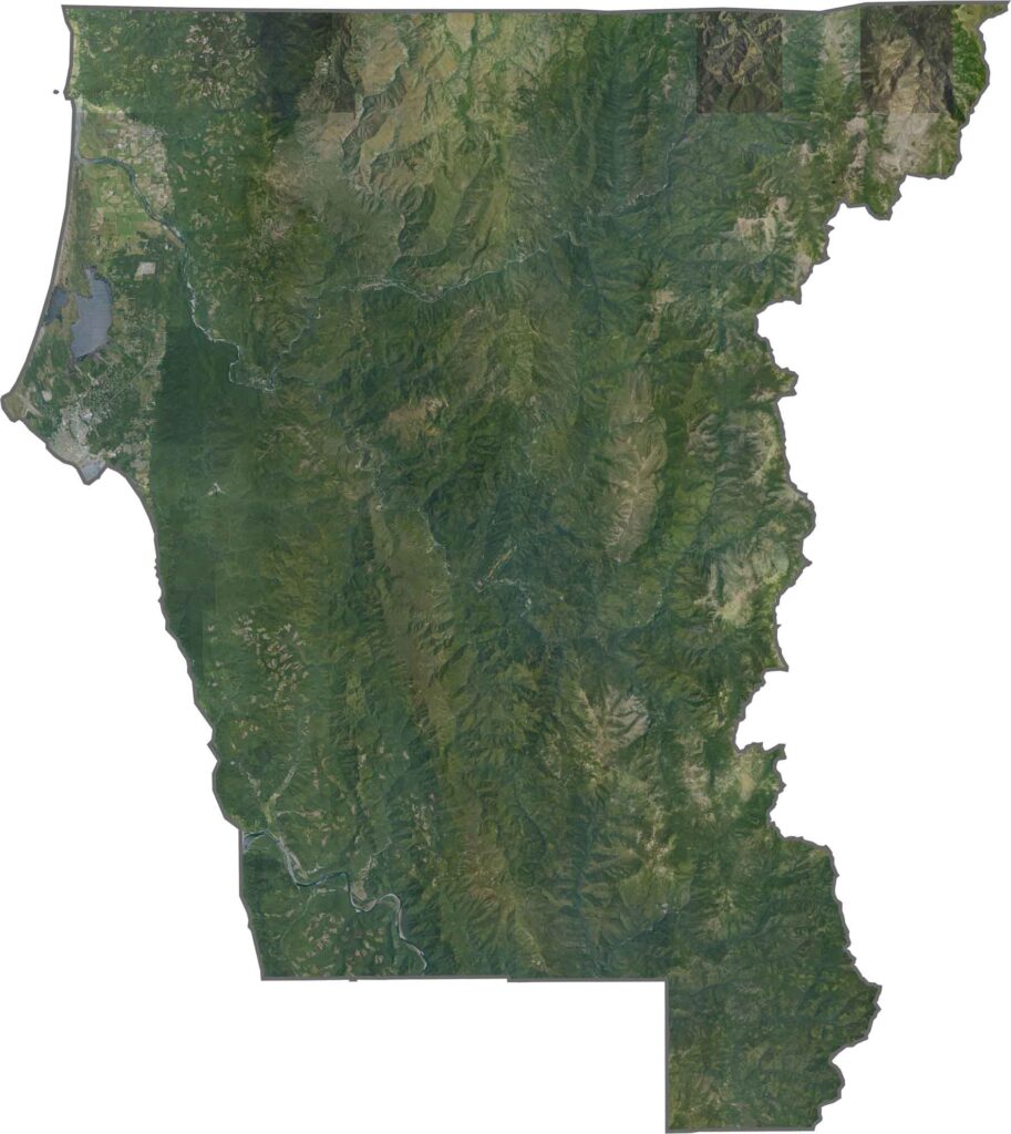
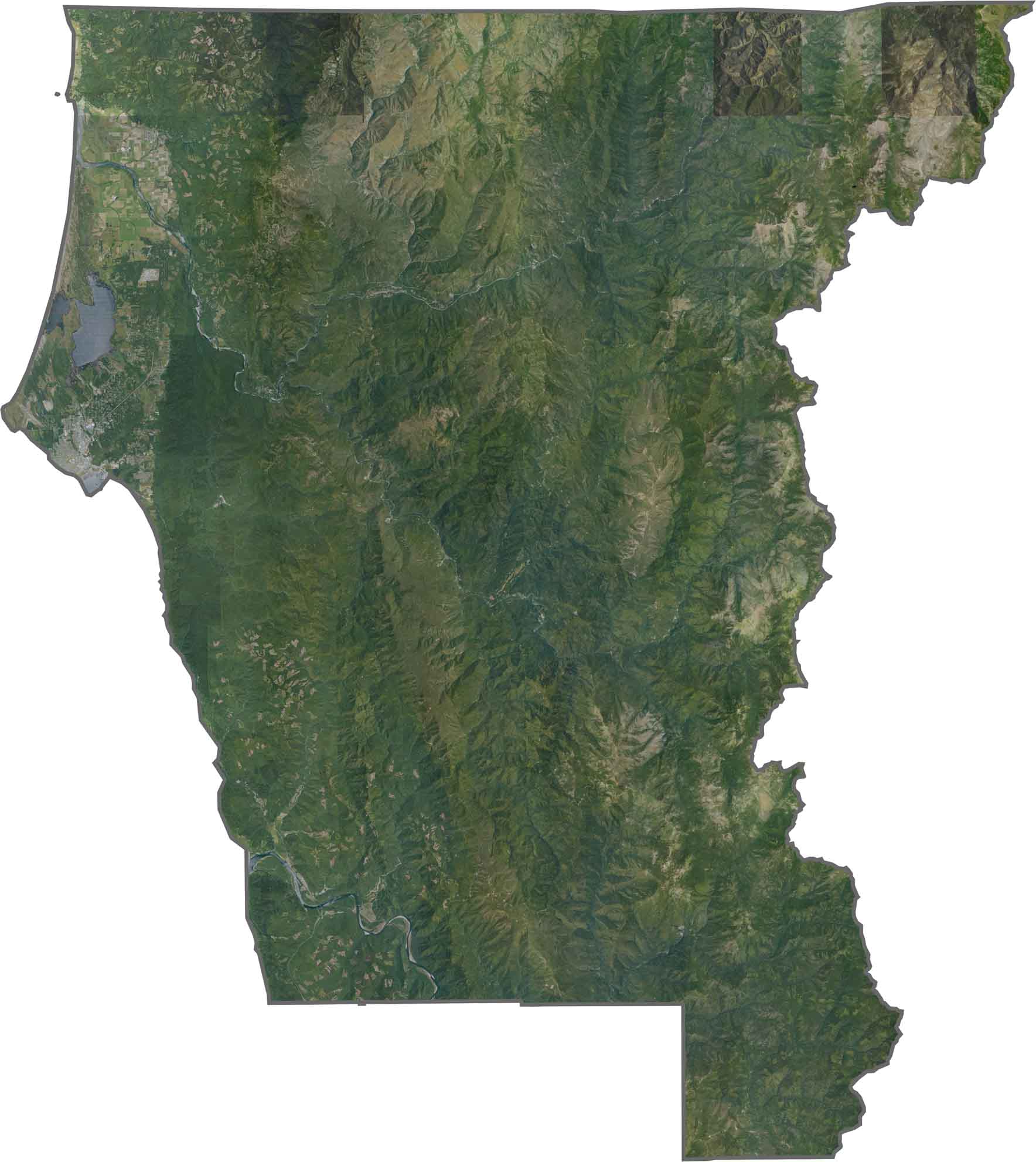
This satellite map shows dense coastal forests and a rugged shoreline along California’s northernmost county. The mouth of the Klamath River and Crescent City Harbor stand out along the Pacific edge, surrounded by heavily forested terrain.
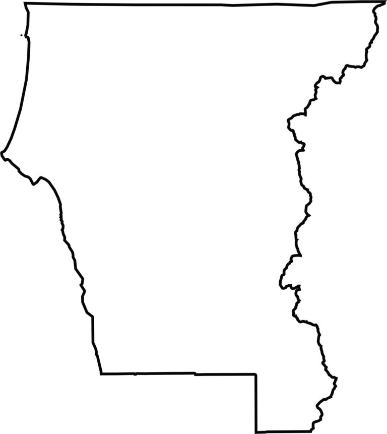
This blank map outlines Del Norte County’s compact shape in California’s northwestern corner. The western edge follows the Pacific coastline, while the northern boundary marks the Oregon state line, emphasizing the county’s remote location.








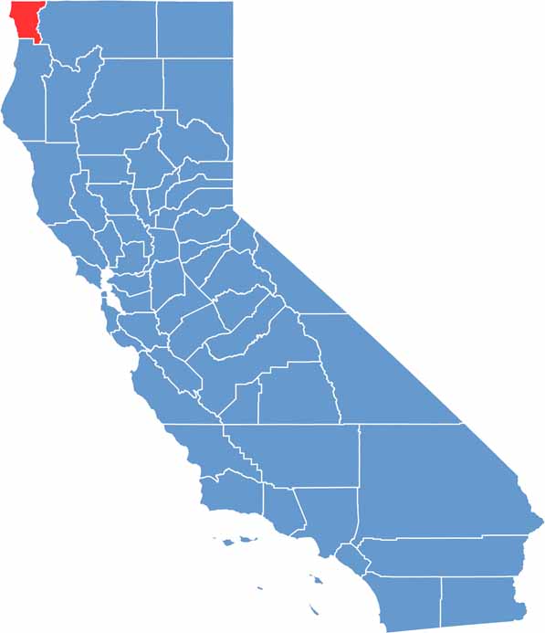
Ever wonder how California’s 58 counties are organized? Our California county map lays them all out, from the Pacific Coast to the vast desert regions. Explore the map to find the counties you know—and perhaps discover a few you don’t.