
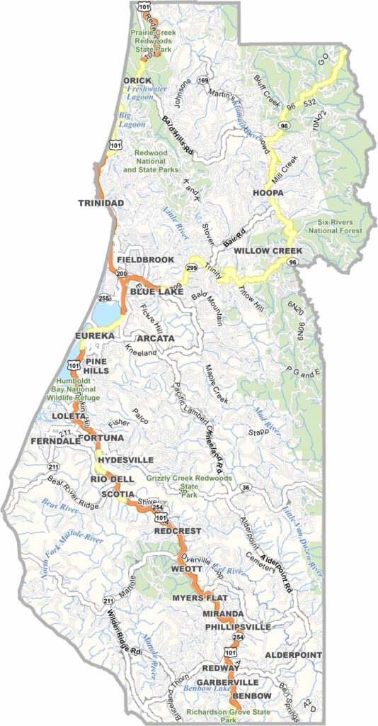
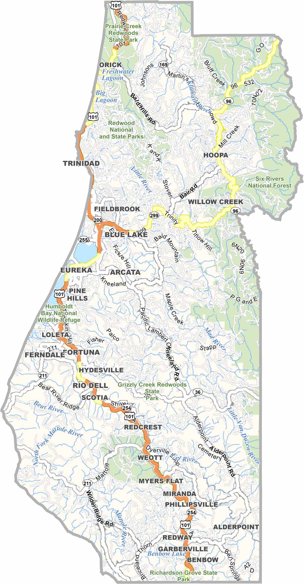
Humboldt County is located along California’s rugged North Coast, where towering redwood forests meet dramatic Pacific scenery. The county is known for its ancient redwoods, peaceful landscapes, and small communities surrounded by wilderness.
Eureka is the county seat and largest city, with a historic Old Town filled with beautifully preserved Victorian buildings. The area also has a reputation for cannabis cultivation, while Cal Poly Humboldt adds a lively college-town atmosphere.
Highway 101 is the main route through Humboldt County, winding past ancient forests, rivers, and scenic coastal landscapes. With its quirky communities, towering redwoods, and wild coastline, Humboldt County offers a distinctly relaxed and natural side of California.
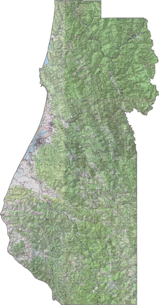
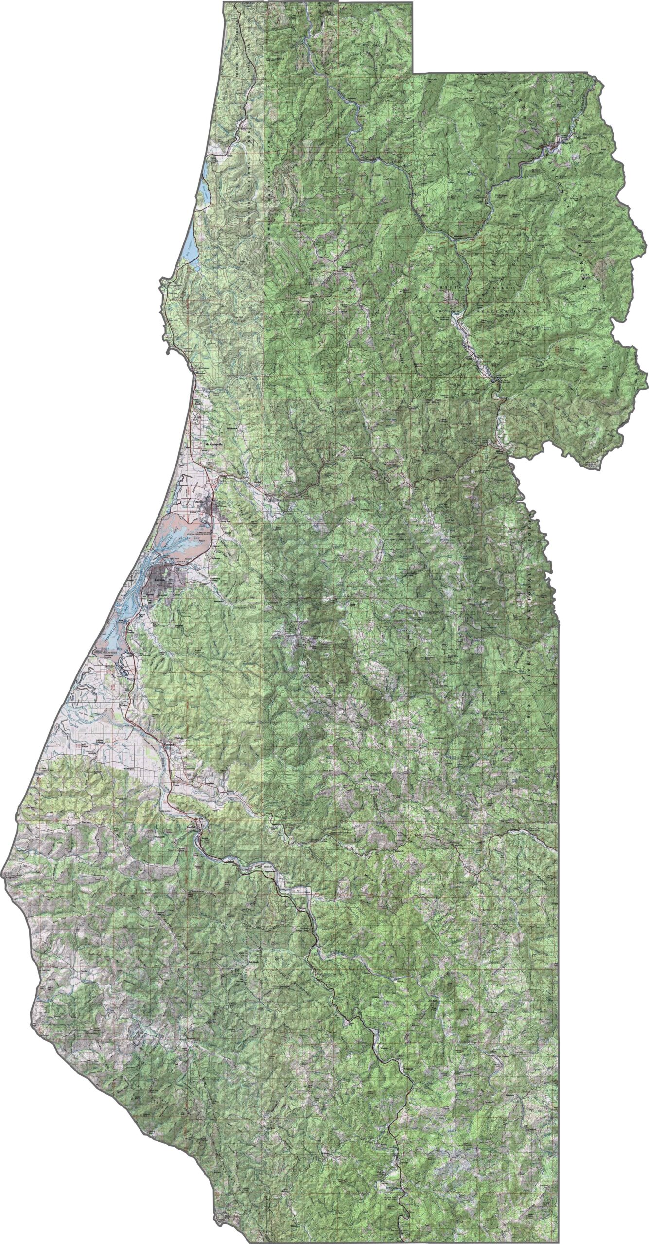
This topographic map highlights Humboldt County’s rugged coastline, river valleys, and mountainous terrain within California’s Coast Ranges. The detailed contours reveal the dramatic elevation changes between the Pacific shoreline and the forested interior.
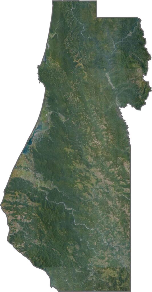
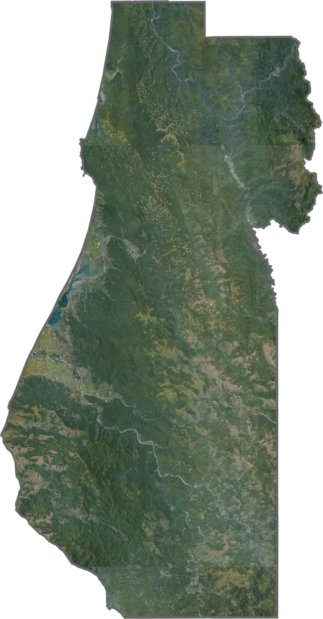
This satellite map shows Humboldt County’s extensive forests and irregular coastline. Major rivers such as the Eel and Klamath cut through the mountainous landscape, creating natural corridors as they flow toward the Pacific Ocean.
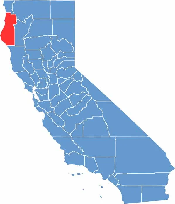
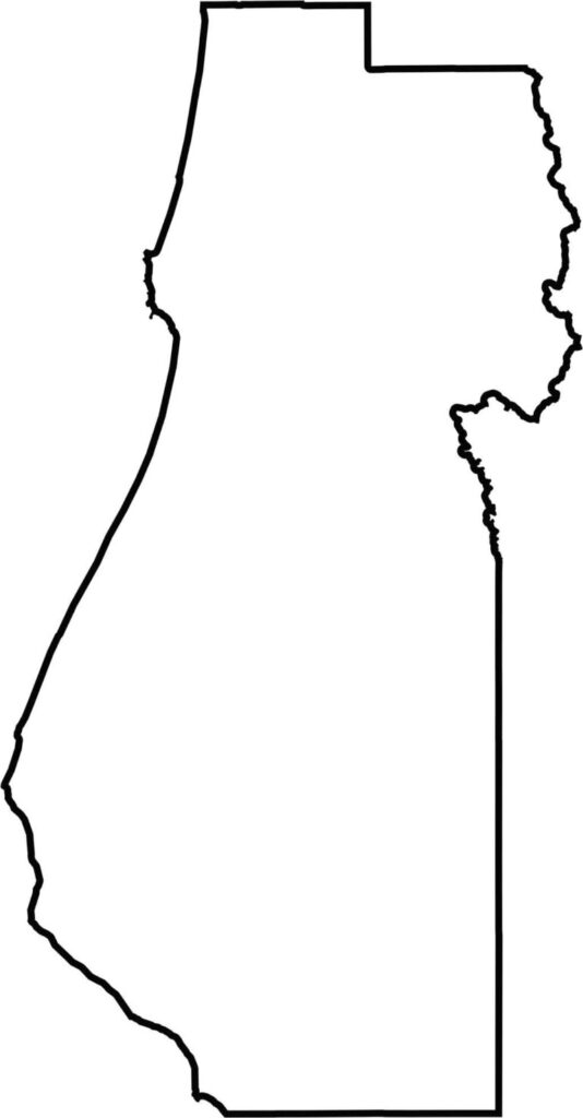
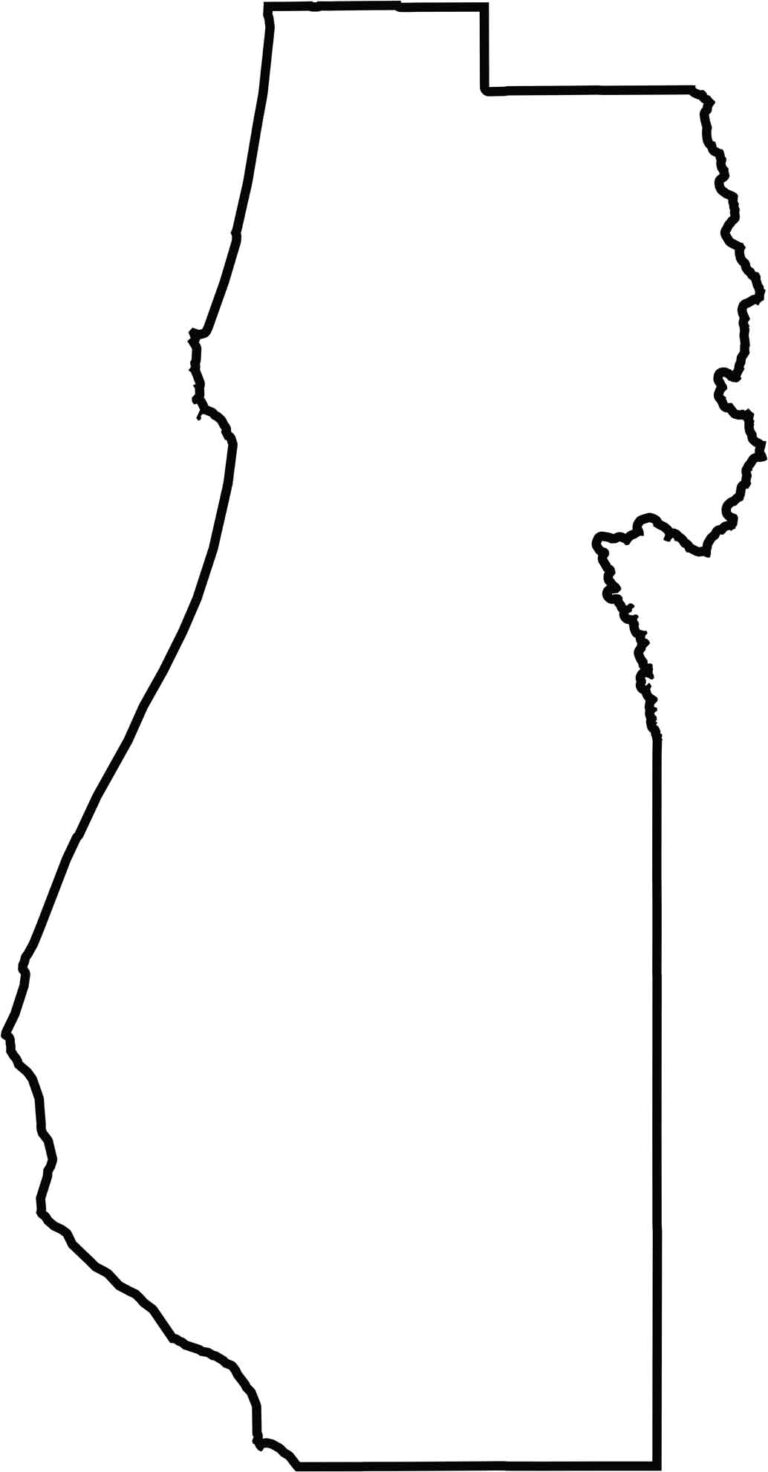
This blank map outlines Humboldt County’s irregular shape along California’s northern coast. The western boundary follows the Pacific shoreline, while the eastern portion extends into the forested Coast Range mountains.







Ever wonder how California’s 58 counties are organized? Our California county map lays them all out, from the Pacific Coast to the vast desert regions. Explore the map to find the counties you know—and perhaps discover a few you don’t.