
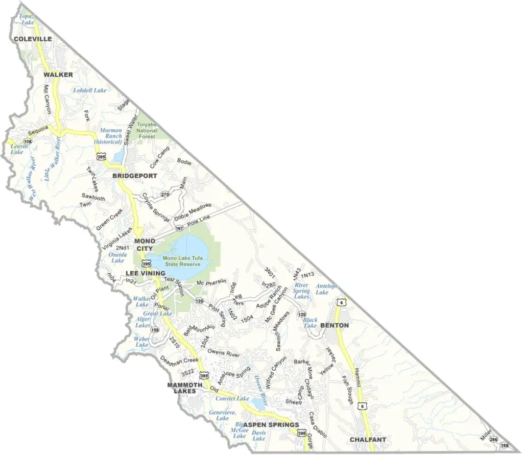
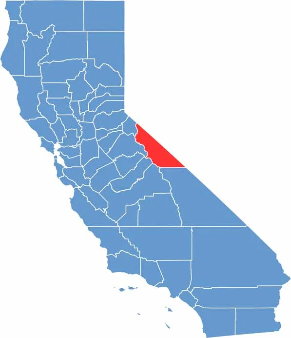
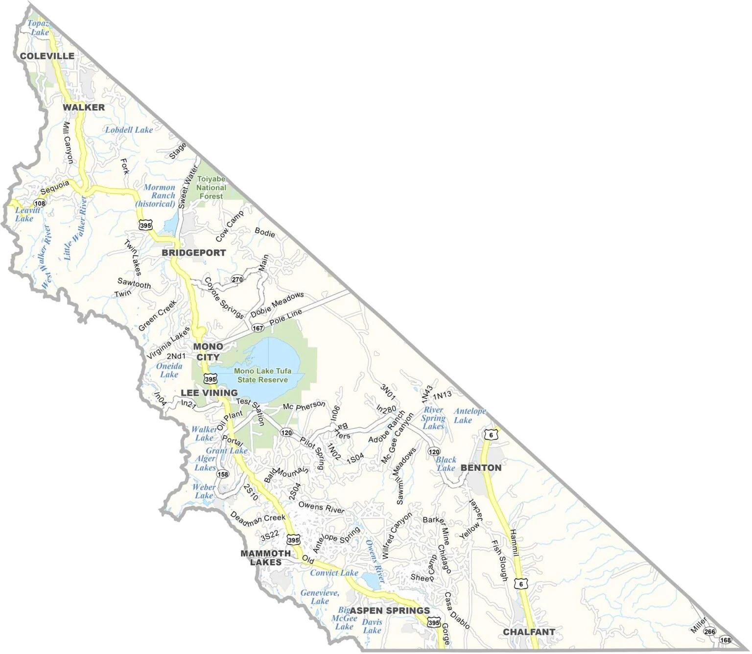
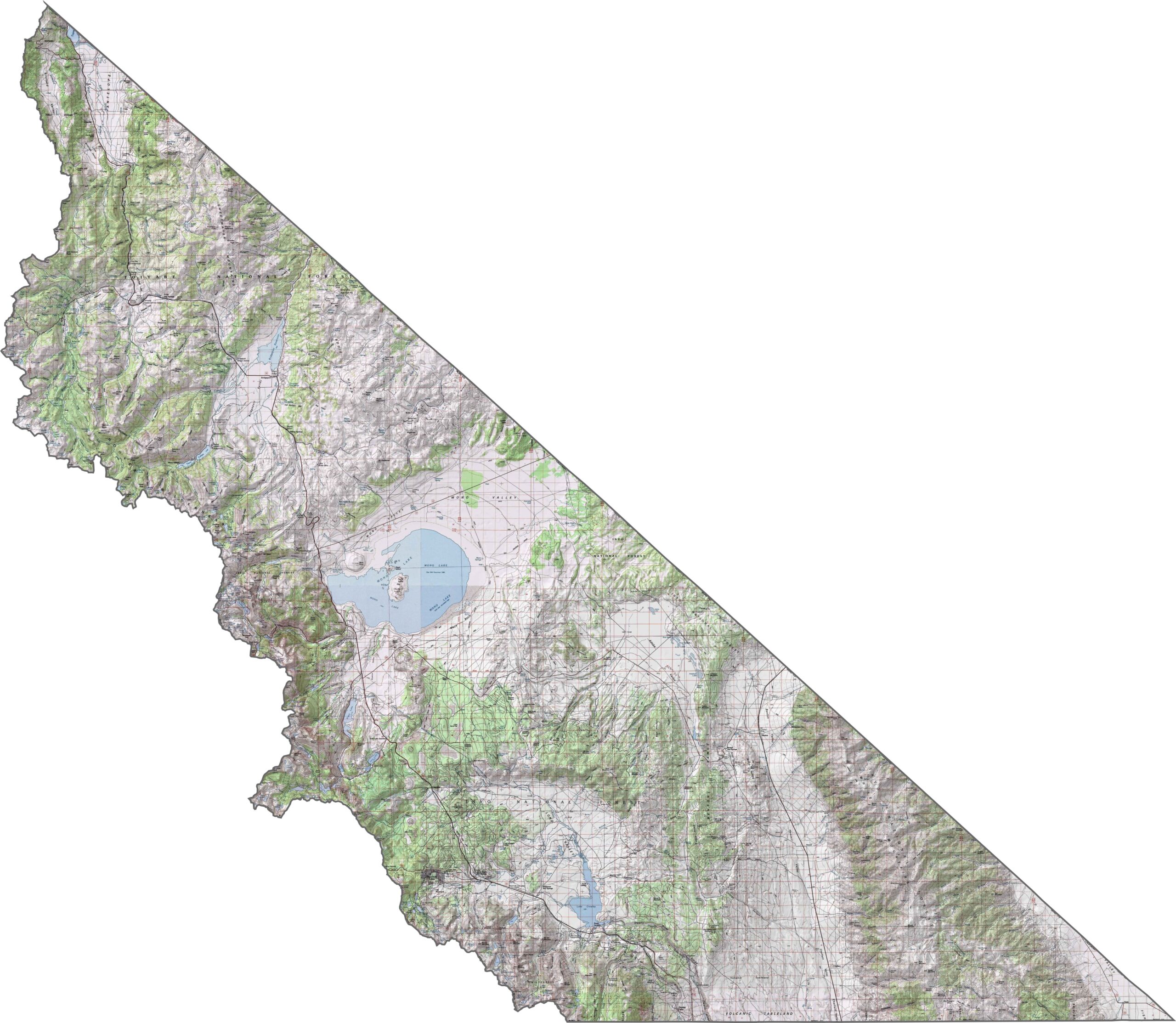
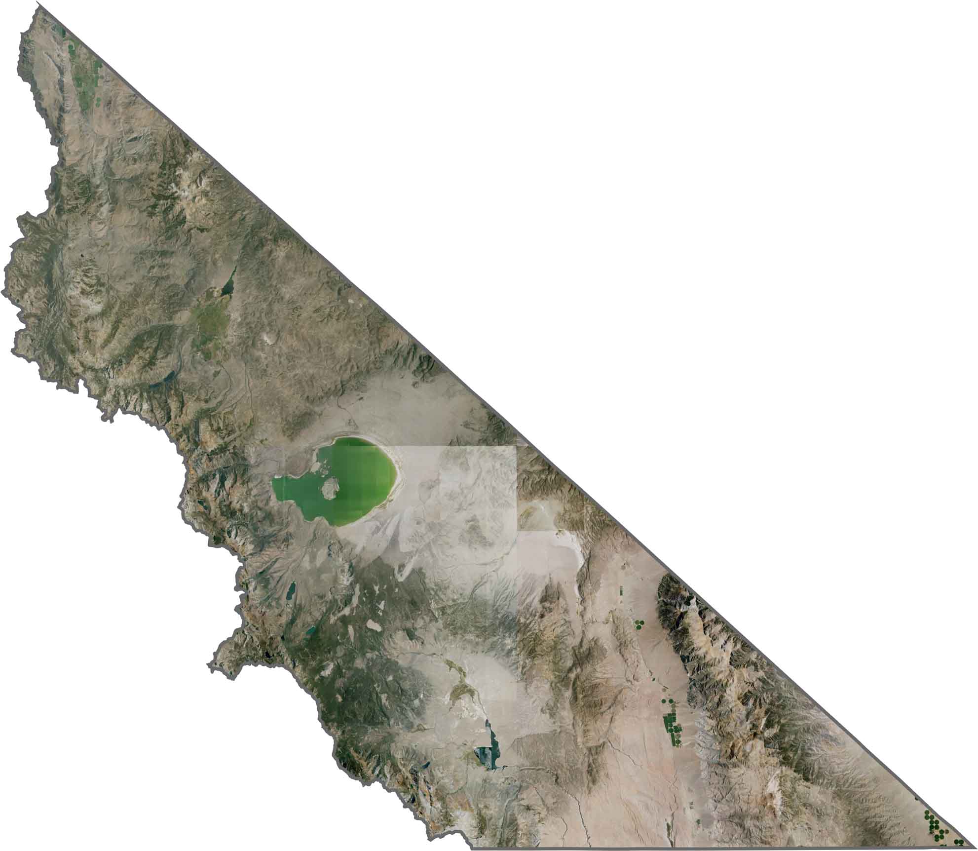
Mono County is a haven for outdoor enthusiasts on the eastern side of the Sierra Nevada. The county is known for its dramatic mountain scenery, alpine lakes, and wide-open landscapes.
Mammoth Lakes is the main destination, attracting visitors with excellent skiing and snowboarding in winter and hiking, mountain biking, and other outdoor activities during the warmer months. Mono Lake is another standout attraction, famous for its unusual limestone tufa towers rising from the water.
Highway 395 runs through Mono County, providing a scenic route through the eastern Sierra. With a population of just over 13,000, the county remains sparsely populated, but visitors come year-round for world-class fishing, hiking, skiing, and mountain scenery around Mammoth Mountain.
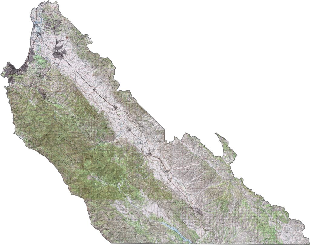
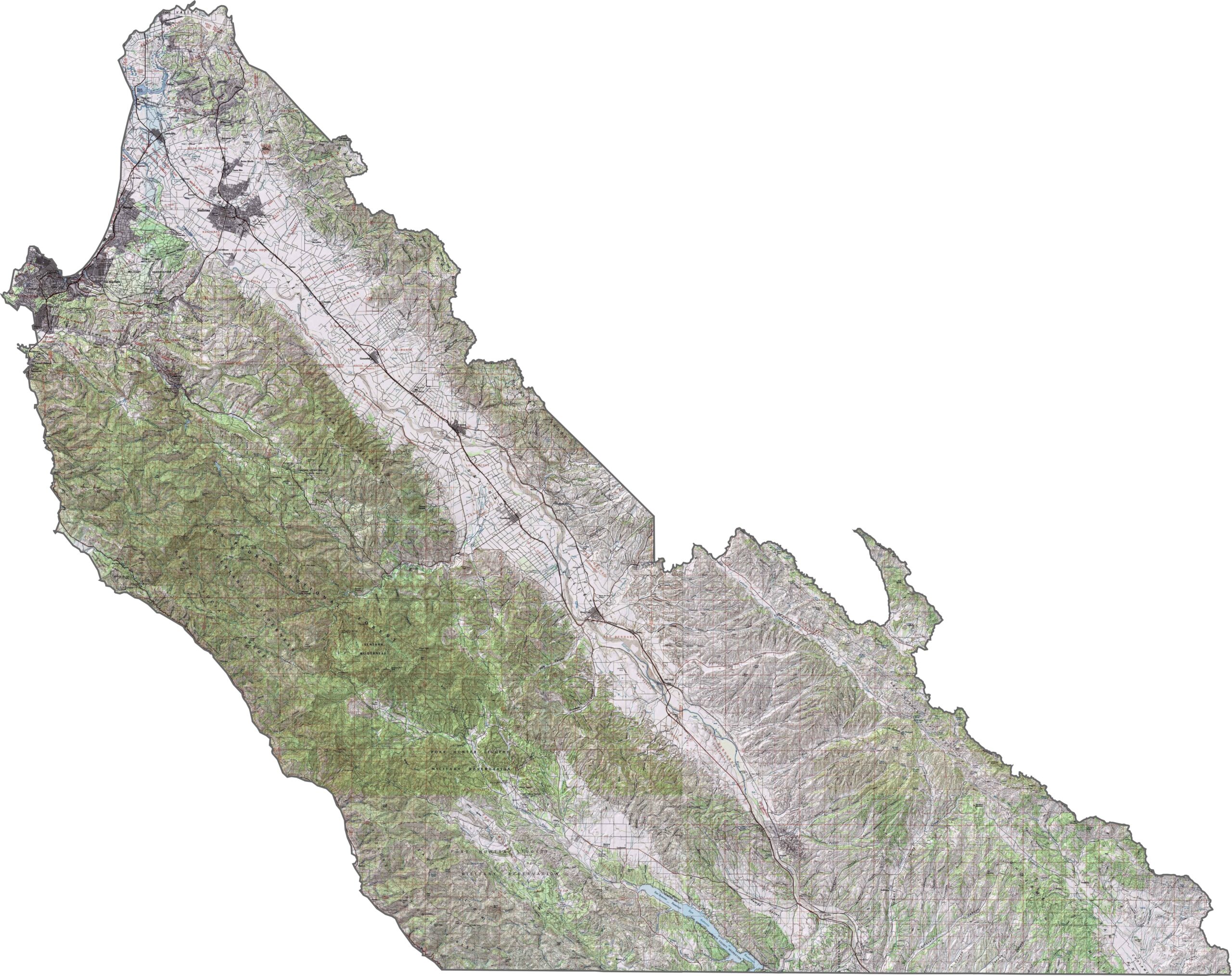
This topographic map highlights Monterey County’s rugged Big Sur coastline, fertile Salinas Valley, and steep Santa Lucia Mountains. The detailed contours reveal the county’s dramatic changes in elevation from the Pacific coast to the inland valleys.
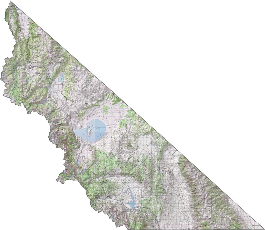
This topographic map highlights Monterey County’s rugged Big Sur coastline, fertile Salinas Valley, and steep Santa Lucia Mountains. The detailed contours reveal the county’s dramatic changes in elevation from the Pacific coast to the inland valleys.
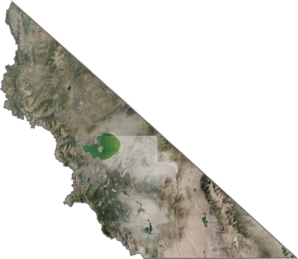
This topographic map highlights Monterey County’s rugged Big Sur coastline, fertile Salinas Valley, and steep Santa Lucia Mountains. The detailed contours reveal the county’s dramatic changes in elevation from the Pacific coast to the inland valleys.







Ever wonder how California’s 58 counties are organized? Our California county map lays them all out, from the Pacific Coast to the vast desert regions. Explore the map to find the counties you know—and perhaps discover a few you don’t.