
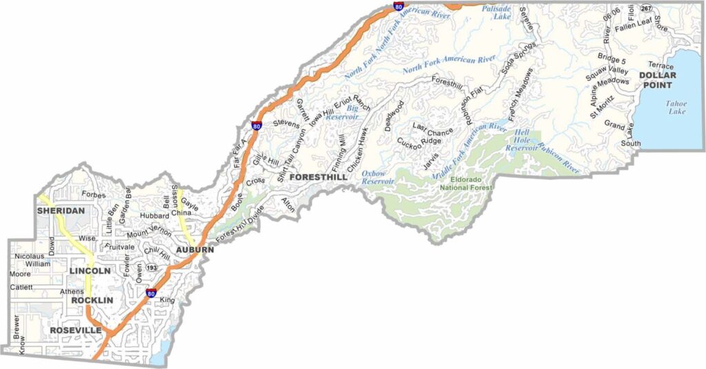
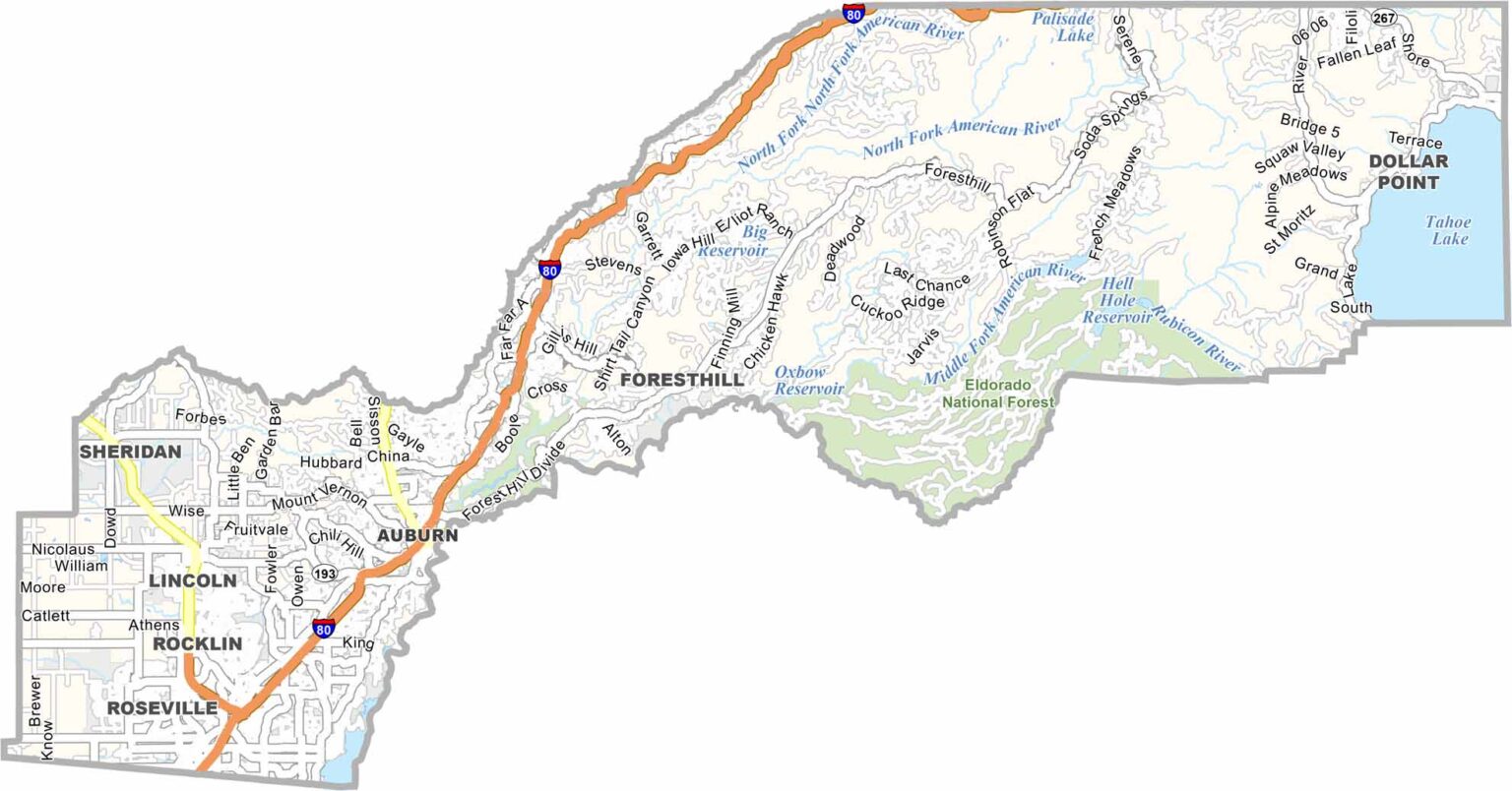
Placer County stretches from the Sacramento suburbs into the Sierra Nevada and all the way to Lake Tahoe. Auburn serves as the county seat and is known for its charming Gold Rush-era character.
With a population of more than 400,000 people, Placer County has experienced significant growth, particularly in communities such as Roseville and Rocklin. Roseville is also a major shopping destination, with a large regional mall attracting visitors from across the area.
The Sierra Nevada portion of the county offers excellent opportunities for hiking, skiing, and other outdoor activities. Palisades Tahoe, formerly known as Squaw Valley, hosted the 1960 Winter Olympics and remains one of the region’s best-known mountain resorts.
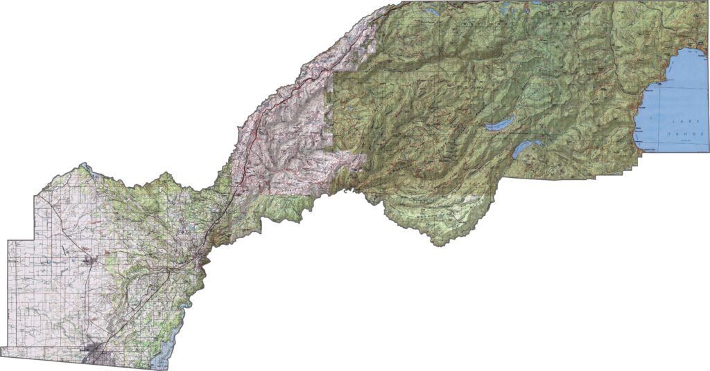
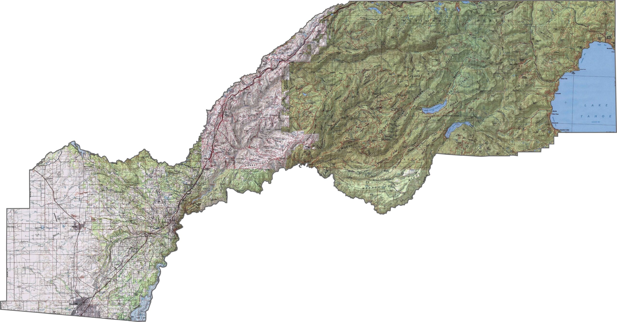
This topographic map highlights Placer County’s dramatic elevation changes, with the terrain rising from the Sacramento Valley floor toward the Sierra Nevada crest. The detailed contours reveal the county’s transition from lowland plains to rugged mountain terrain.
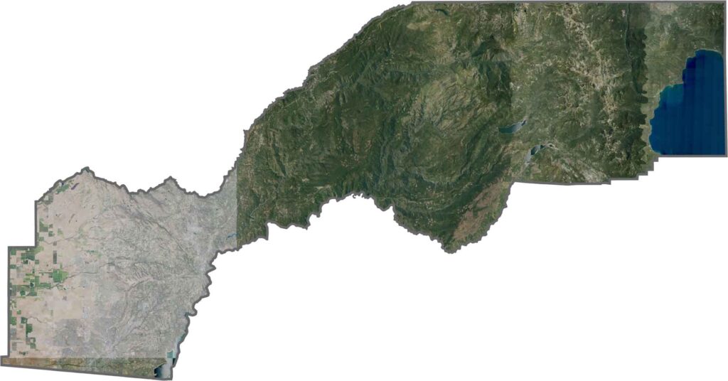
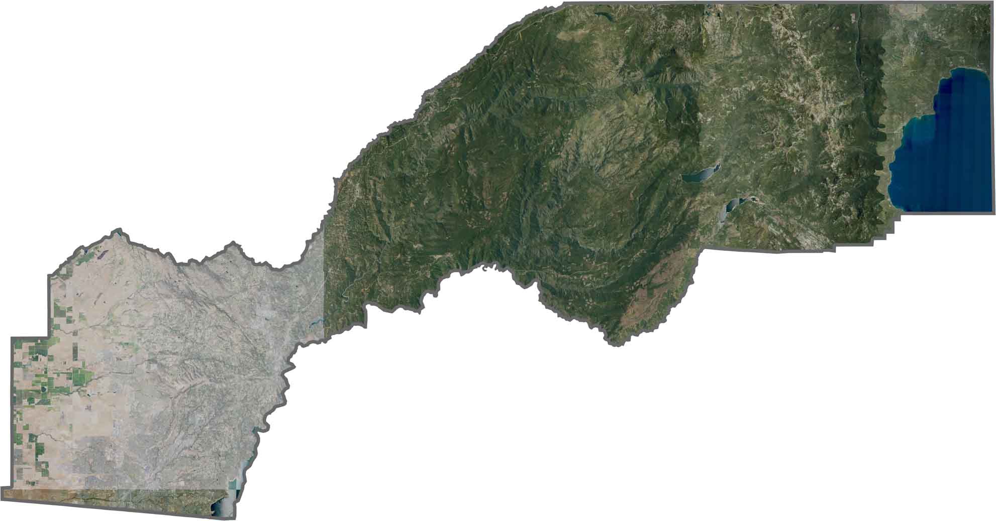
This satellite map shows the remarkable diversity of Placer County’s landscape, from the Sacramento Valley to the high Sierra. A portion of Lake Tahoe’s shoreline appears as a striking blue crescent in the eastern corner.
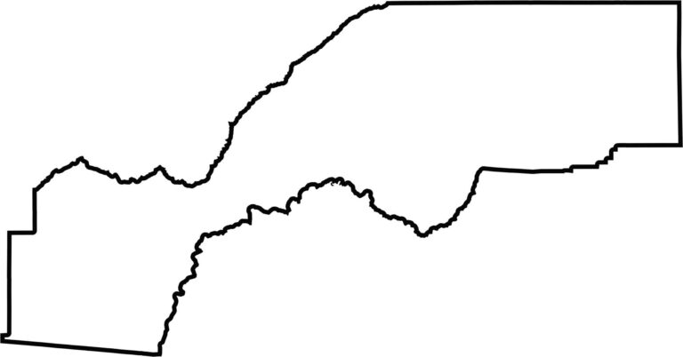
This blank map outlines Placer County’s long, narrow shape extending from the Sacramento Valley to Lake Tahoe. The simple design emphasizes the county’s unique position across California’s varied geographic regions.








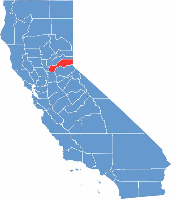
Ever wonder how California’s 58 counties are organized? Our California county map lays them all out, from the Pacific Coast to the vast desert regions. Explore the map to find the counties you know—and perhaps discover a few you don’t.