
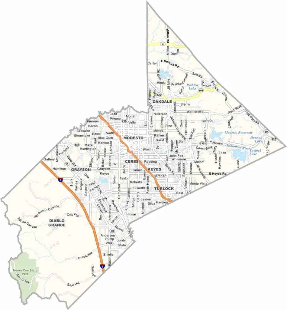
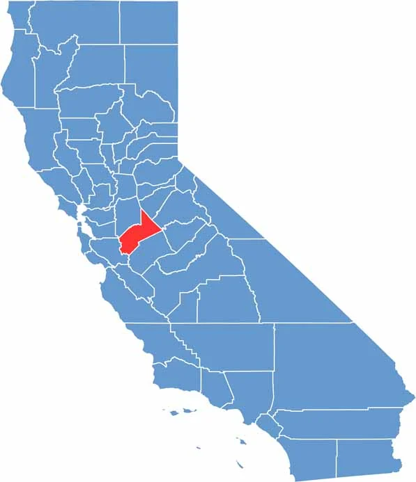
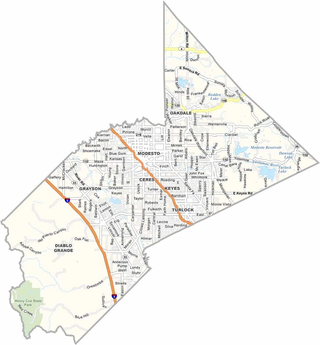
Stanislaus County is located in the heart of California’s Central Valley. Modesto is the largest city and county seat, and it is famously associated with the setting of the classic film American Graffiti.
Agriculture is a major part of the county’s economy, with important crops including almonds and peaches. The population is around 565,000, and many communities maintain strong connections to the region’s farming heritage.
The county takes its name from the Stanislaus River, which flows through the region. Highway 99 also runs through Stanislaus County, connecting it with other communities throughout the Central Valley and beyond.
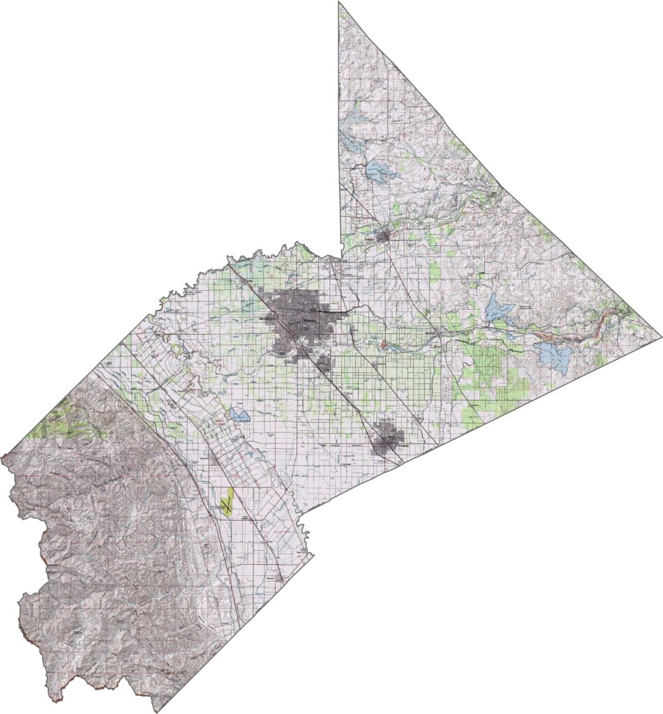
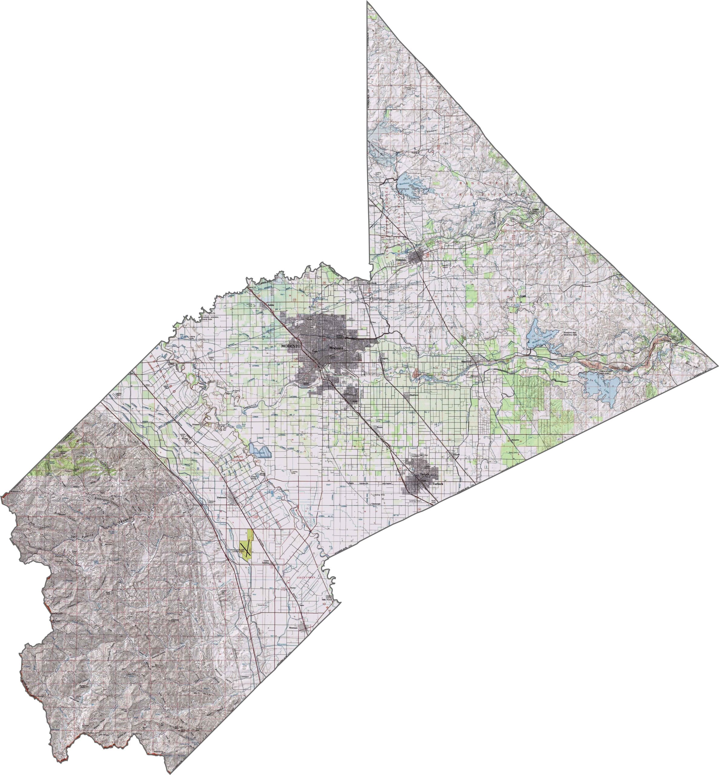
This topographic map highlights Stanislaus County’s predominantly flat agricultural landscape. The terrain gradually rises from west to east toward the Sierra Nevada foothills, with subtle elevation changes visible across the county.
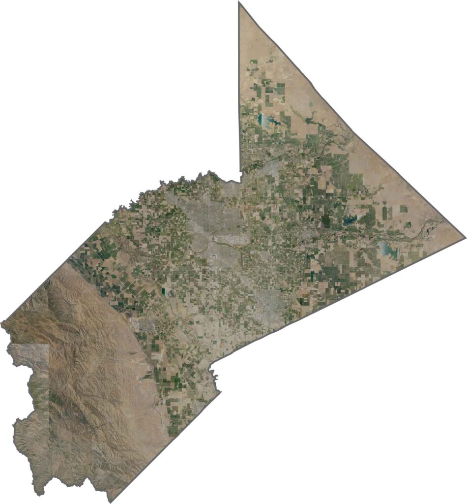
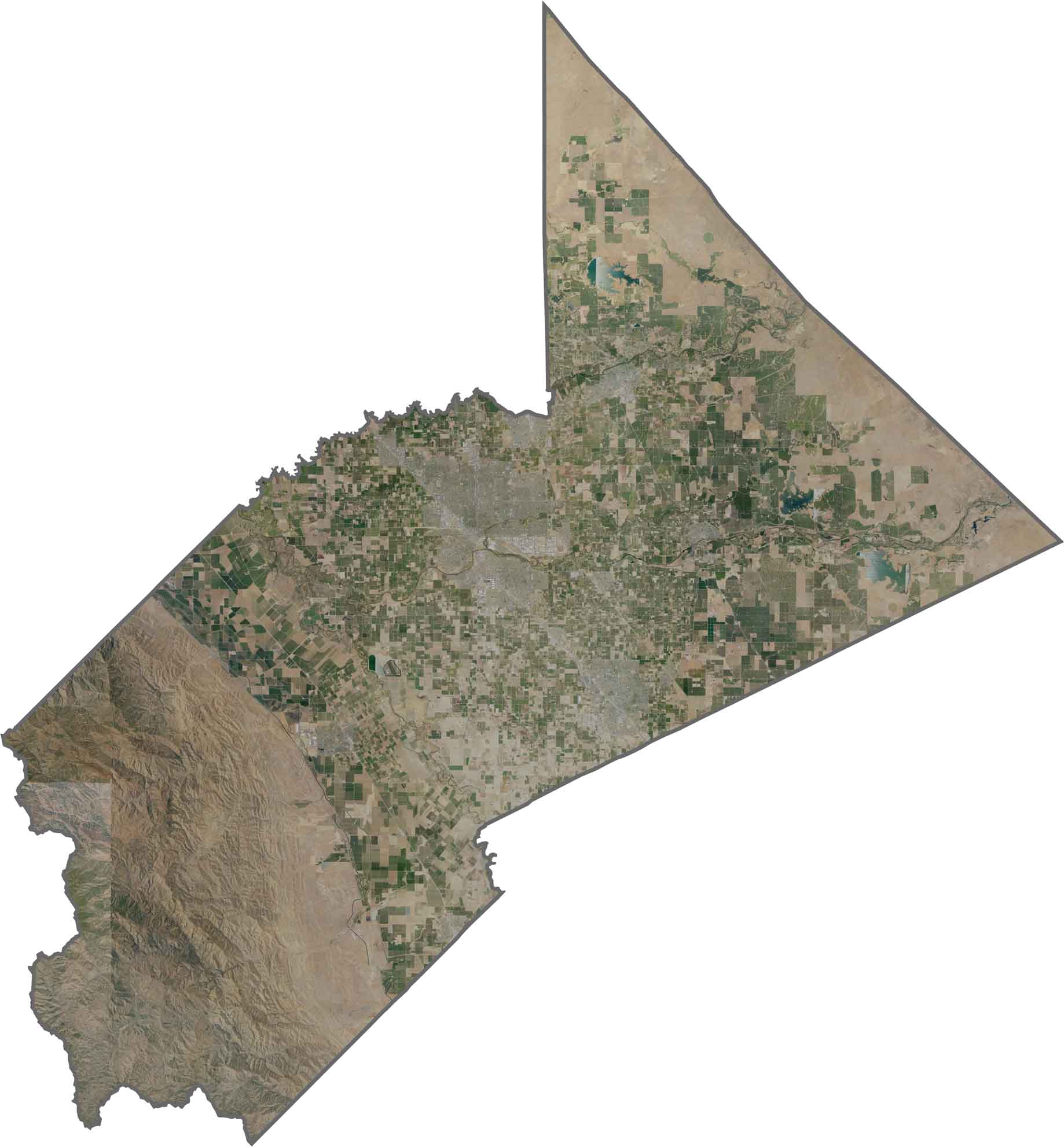
This satellite map reveals the extensive agricultural development across Stanislaus County, with fields forming a distinctive grid pattern throughout the Central Valley. The San Joaquin River winds along the county’s northern edge.
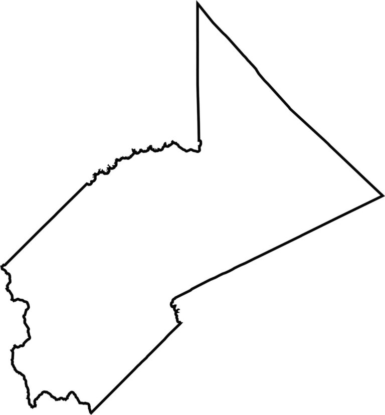
This blank map outlines Stanislaus County’s distinctive shape in the northern San Joaquin Valley. The eastern boundary approaches the Sierra Nevada foothills, while the western side extends toward the Coast Range.








Ever wonder how California’s 58 counties are organized? Our California county map lays them all out, from the Pacific Coast to the vast desert regions. Explore the map to find the counties you know—and perhaps discover a few you don’t.