
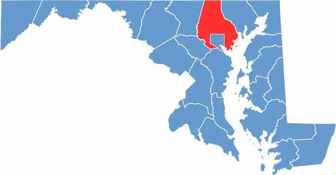
Baltimore County, Maryland surrounds the independent City of Baltimore and extends from the Chesapeake Bay northward to the Pennsylvania border. Its location provides a mix of coastal landscapes, suburban communities, and scenic inland areas.
Major transportation routes such as I-95 and I-83 provide convenient connections throughout Baltimore County and to surrounding areas. The county also has a rich Maryland history, with historic attractions such as the Hampton National Historic Site offering insight into the region’s past.
Outdoor recreation and shopping are both popular across Baltimore County, from hiking and exploring the natural landscapes of Patapsco Valley State Park to visiting the shops, restaurants, and businesses in Towson. The county offers a diverse mix of parks, historic sites, communities, and attractions to explore.
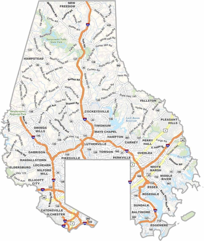
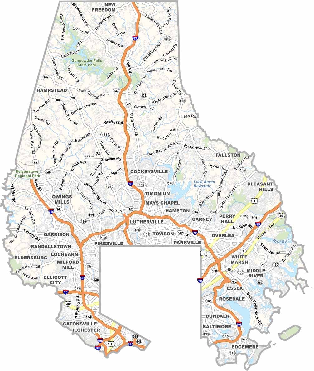
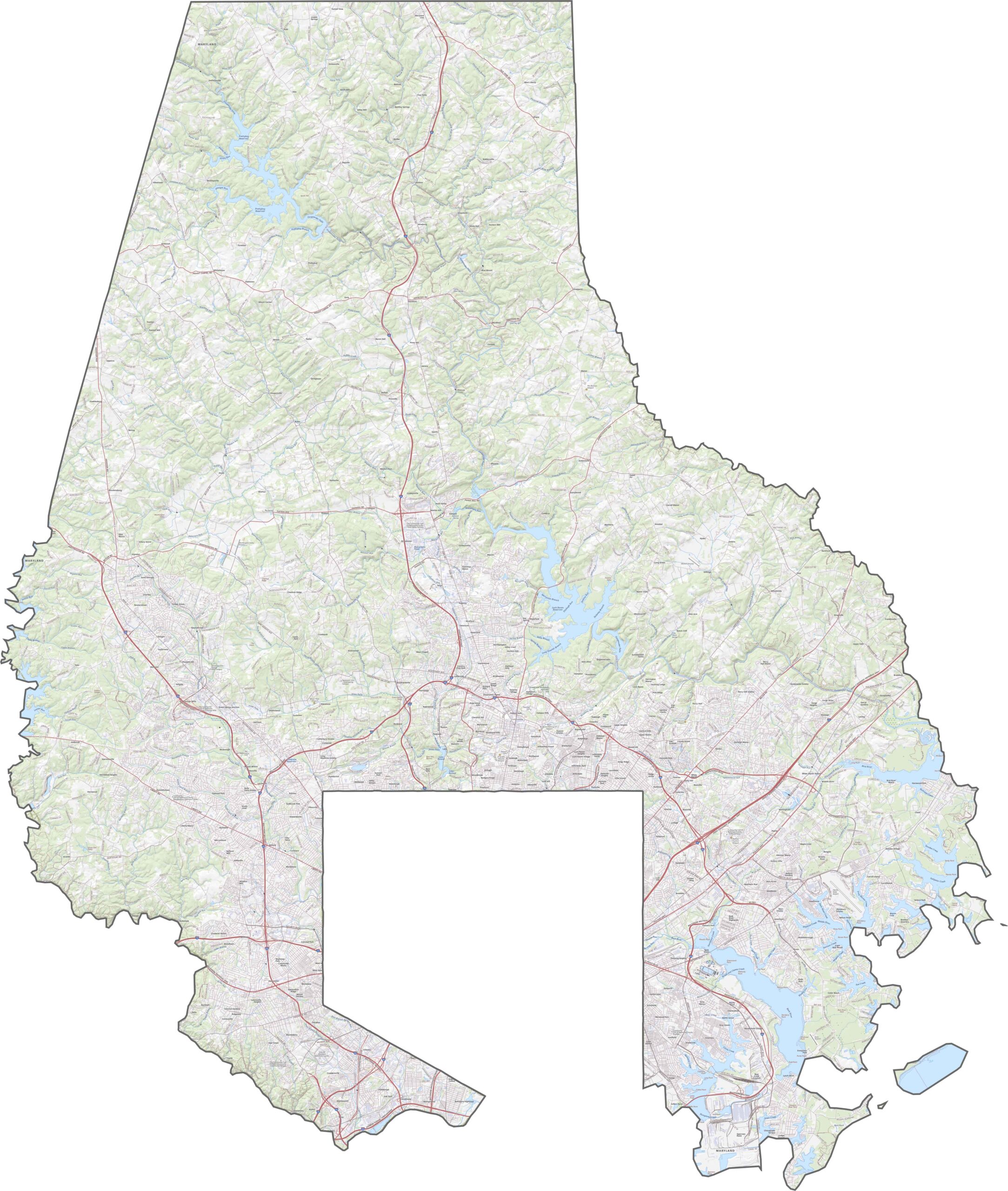
The Baltimore County road map highlights a dense network of major highways, including I-695 (Baltimore Beltway) and I-83, which provide important connections between Baltimore County, Baltimore City, and surrounding communities. Use our zoom tool to explore major highways, local roads, and transportation routes in greater detail.
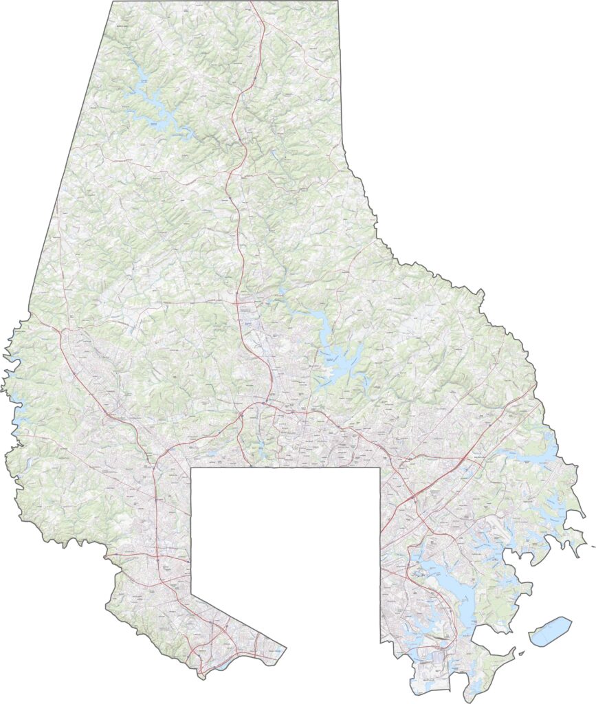
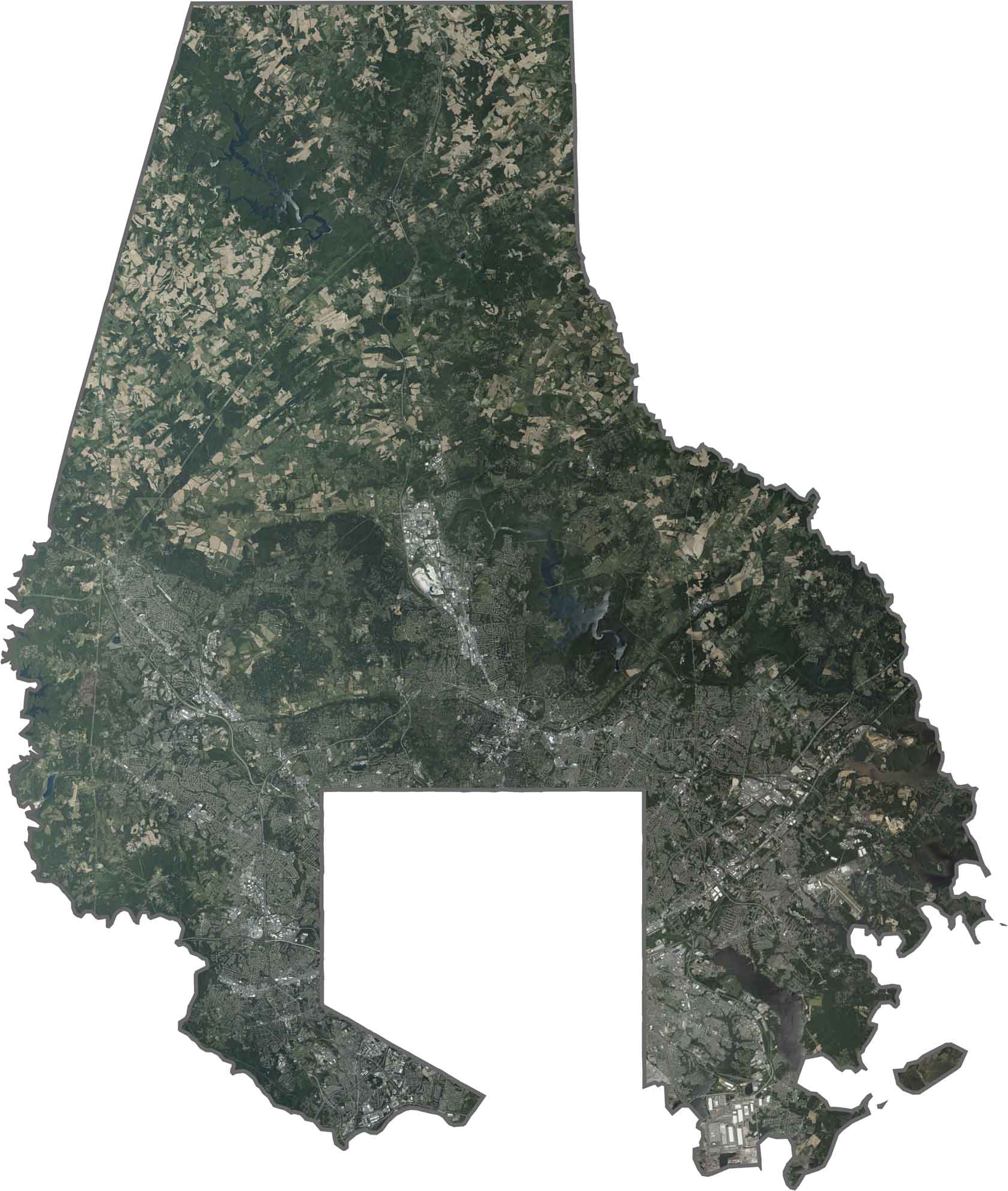
The Baltimore County satellite map shows the transition from the urban areas surrounding Baltimore City into suburban communities, forests, parks, and open spaces. The Patapsco River runs through the landscape, while reservoirs such as Loch Raven Reservoir appear prominently among the county’s wooded and developed areas.
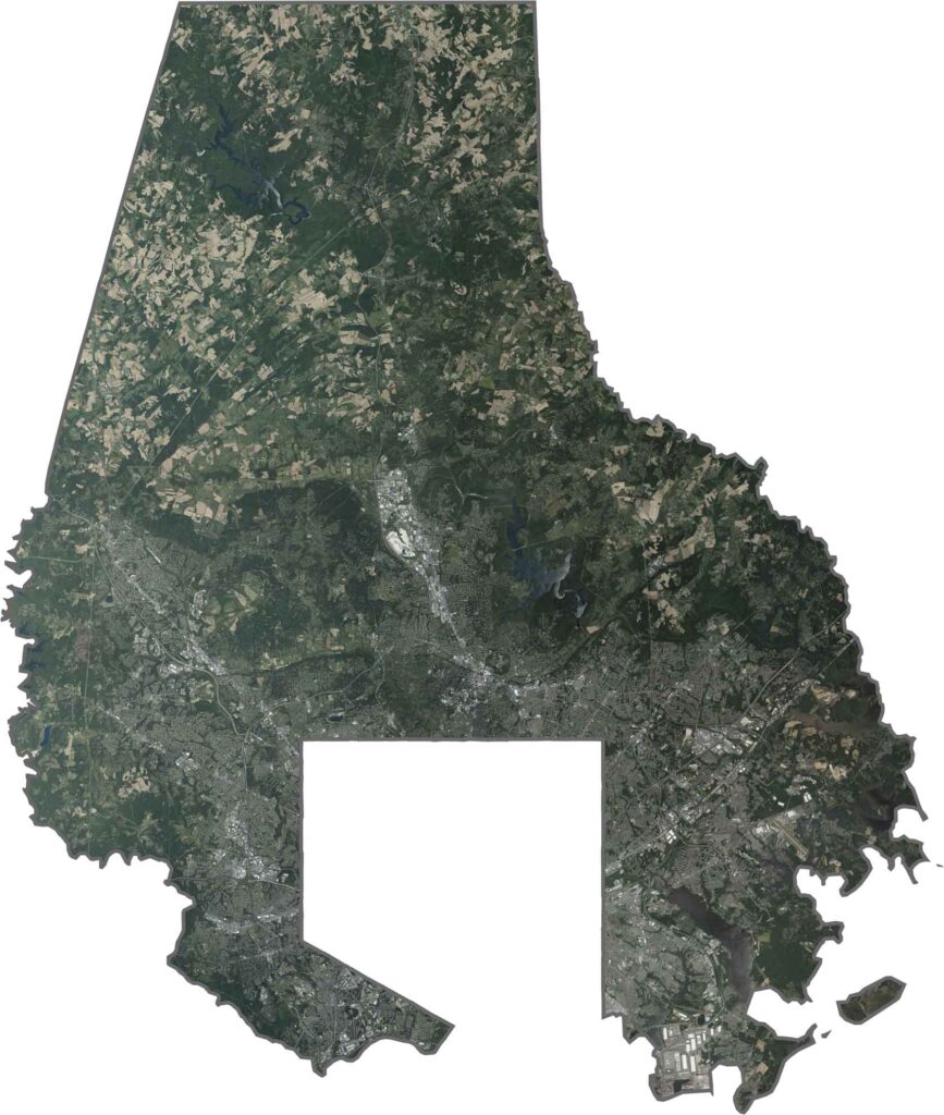
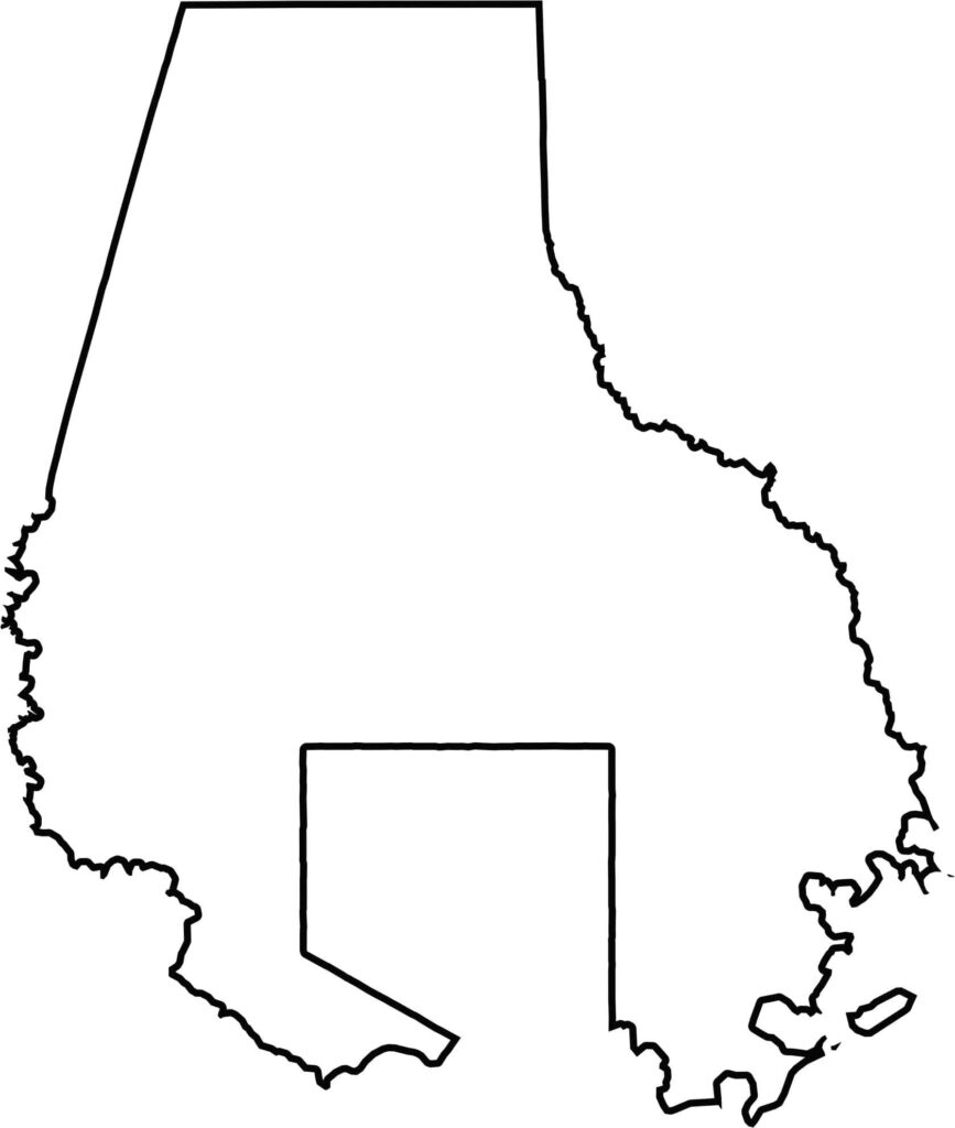
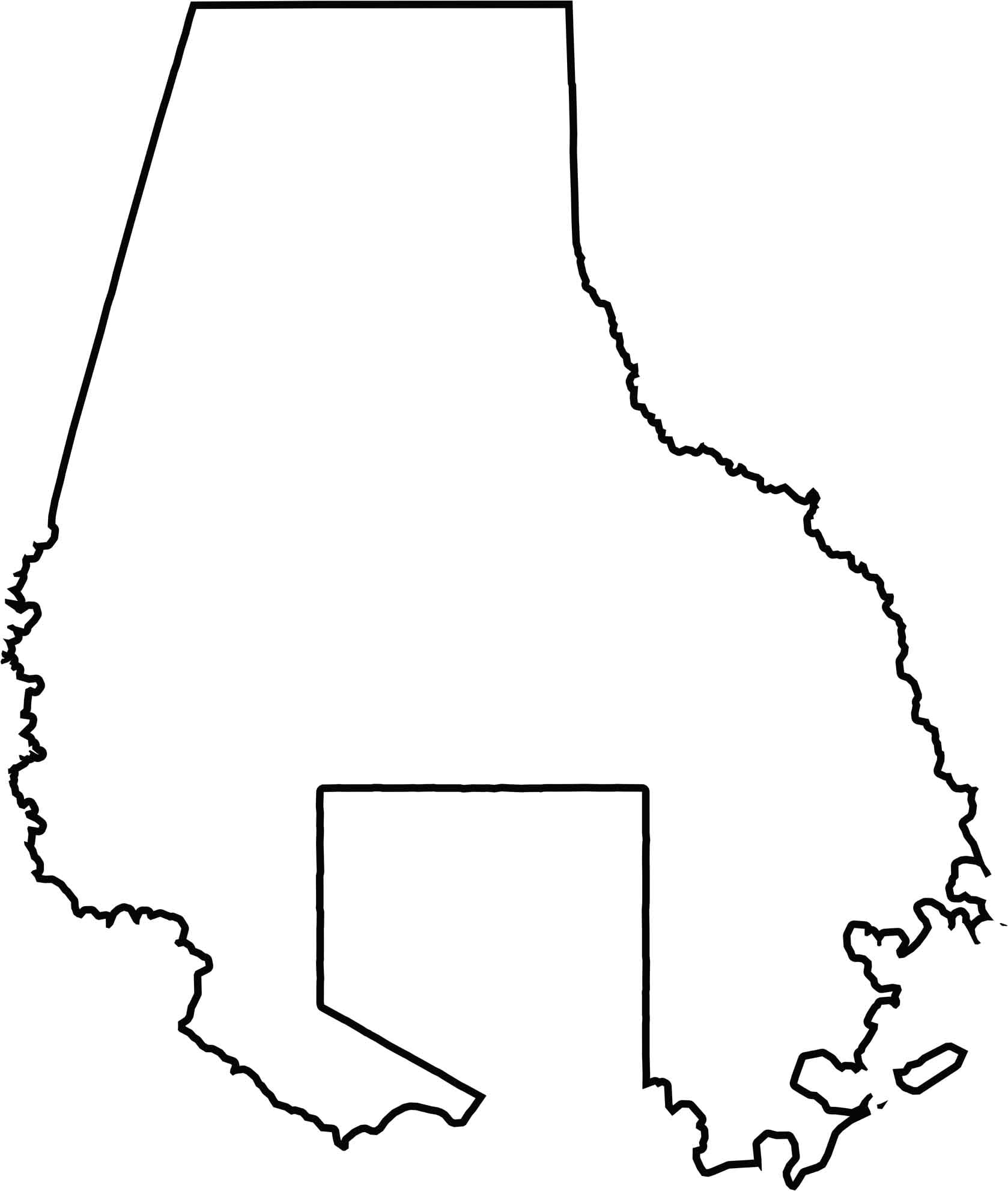
The Baltimore County blank map shows the county’s irregular boundaries surrounding much of Baltimore City. Pennsylvania borders the county to the north, while the remaining boundaries connect with other areas within Maryland, making the outline useful for understanding the county’s geographic position.







With 23 counties and Baltimore City, Maryland offers a diverse mix of cities, small towns, rural communities, and scenic outdoor landscapes. From the Chesapeake Bay and coastal areas to historic towns and mountain regions, every part of the state has its own character. Explore our detailed Maryland county maps to learn more about the state’s counties, cities, roads, boundaries, and geographic features.