
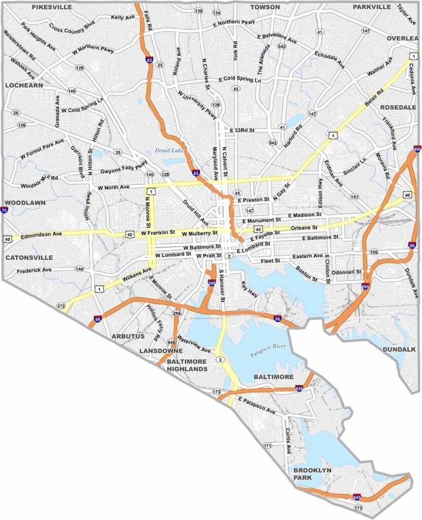
Baltimore, Maryland is the state’s largest city, located along the Patapsco River near its meeting point with the Chesapeake Bay. Known for its distinctive urban character and waterfront setting, Baltimore combines historic neighborhoods, cultural attractions, and a vibrant city atmosphere.
Often known as “Charm City,” Baltimore is recognized for its diverse food scene, including Maryland crab restaurants, local seafood spots, cafes, and other popular dining destinations. The Inner Harbor remains one of the city’s best-known attractions, featuring waterfront views, historic ships, the National Aquarium, and numerous places to explore.
Baltimore history spans major events including the War of 1812 and important chapters of the Civil Rights Movement. The city is also home to professional sports teams such as the Baltimore Orioles and Baltimore Ravens, adding to its strong local culture and year-round attractions.
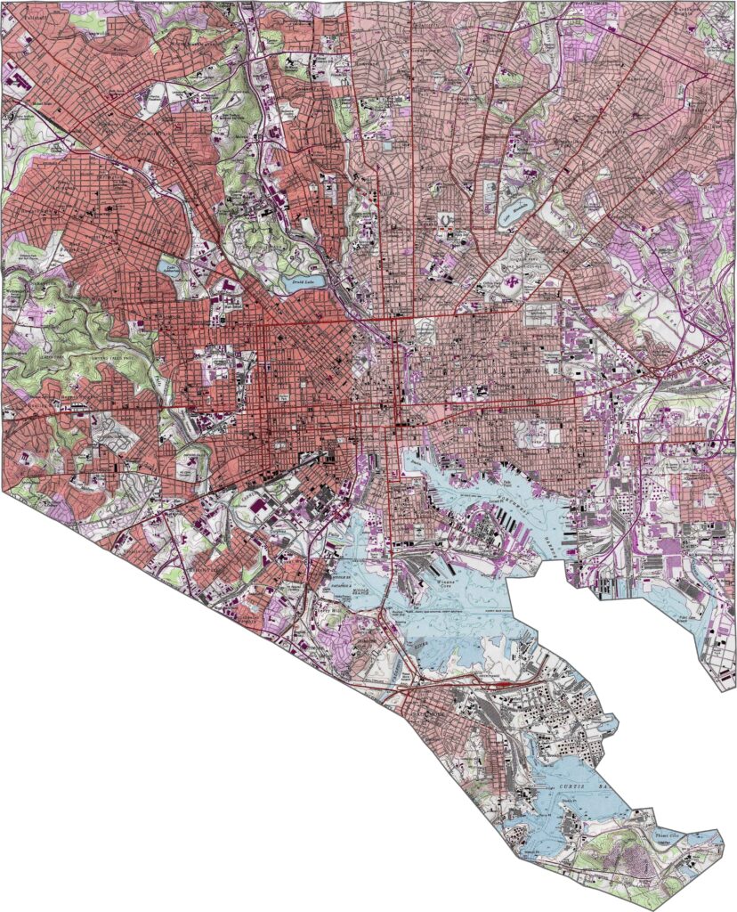
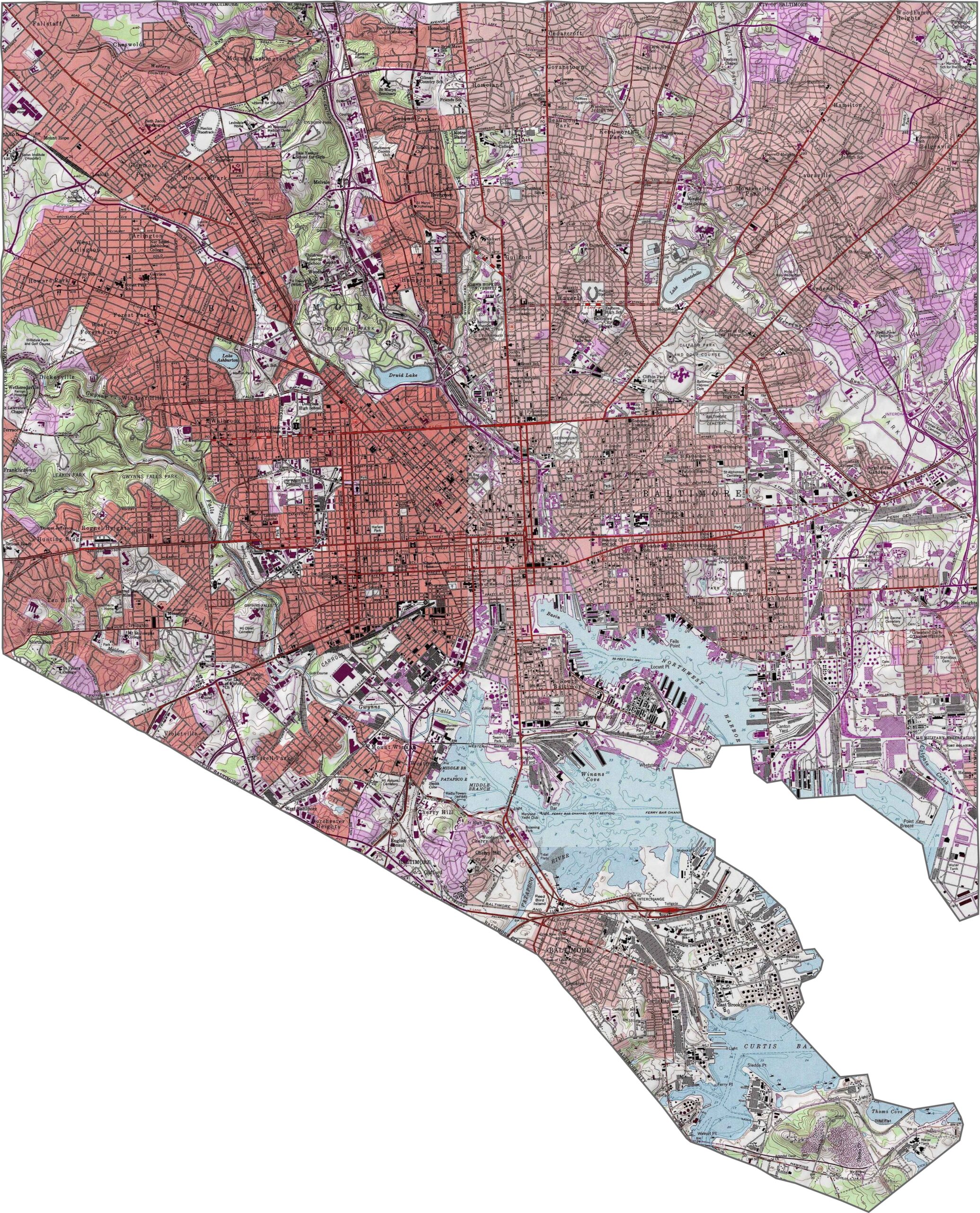
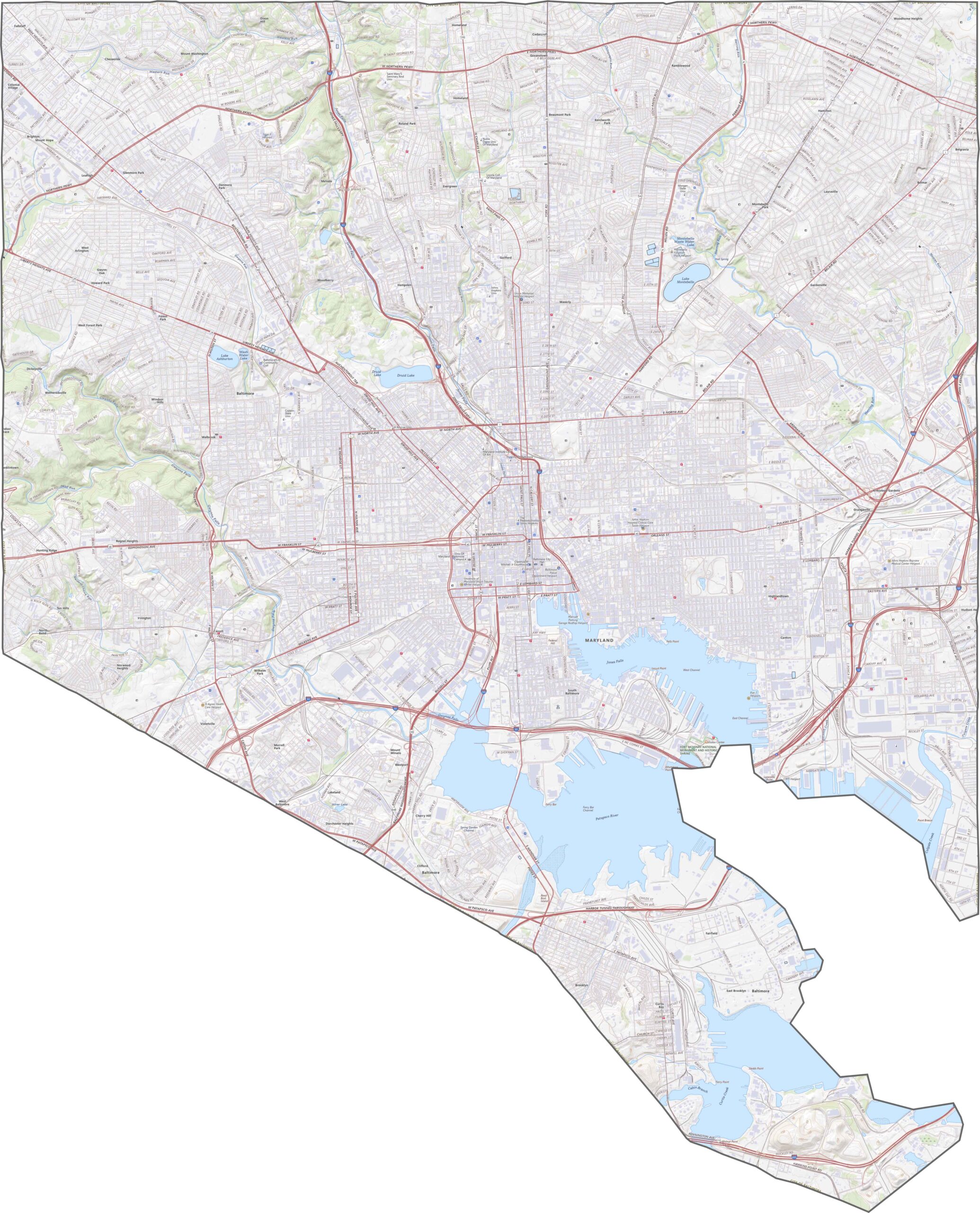
Our Baltimore City topographic map shows elevation changes across the city using detailed contour lines. The relatively flat areas around the harbor transition into higher, rolling terrain near neighborhoods and green spaces such as Druid Hill and Gwynns Falls Park, making the map useful for understanding Baltimore’s varied elevation.
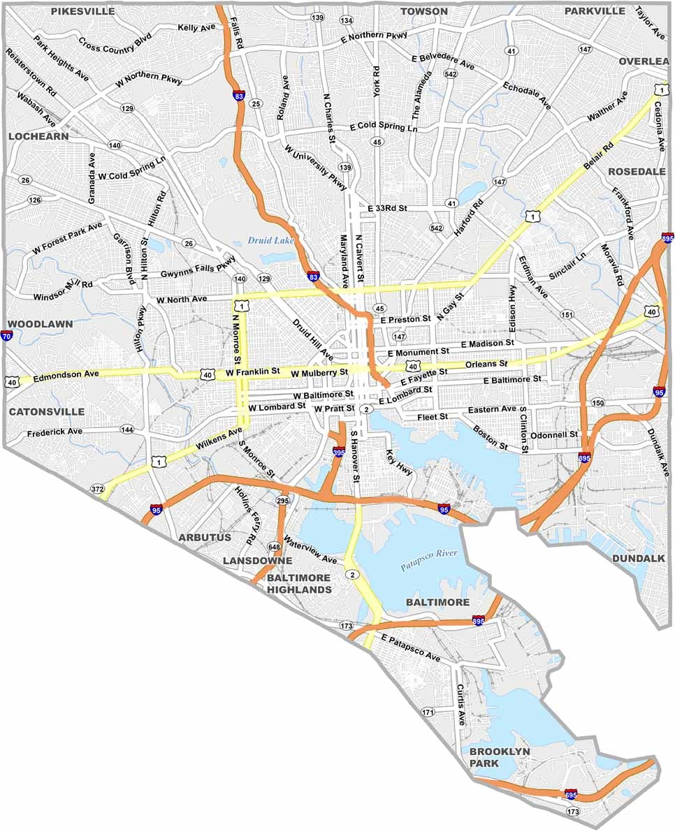
The Baltimore City road map highlights major transportation routes including I-95 and I-83, which connect the city with surrounding parts of Maryland and the broader region. Major roads such as U.S. Route 1 provide additional routes through the city, while the detailed street network covers downtown and surrounding neighborhoods. Use our zoom tool to explore Baltimore streets and transportation routes in greater detail.
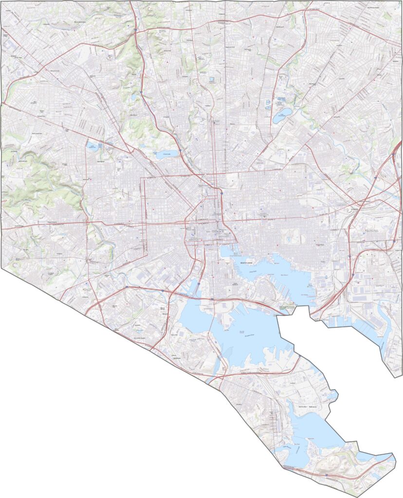
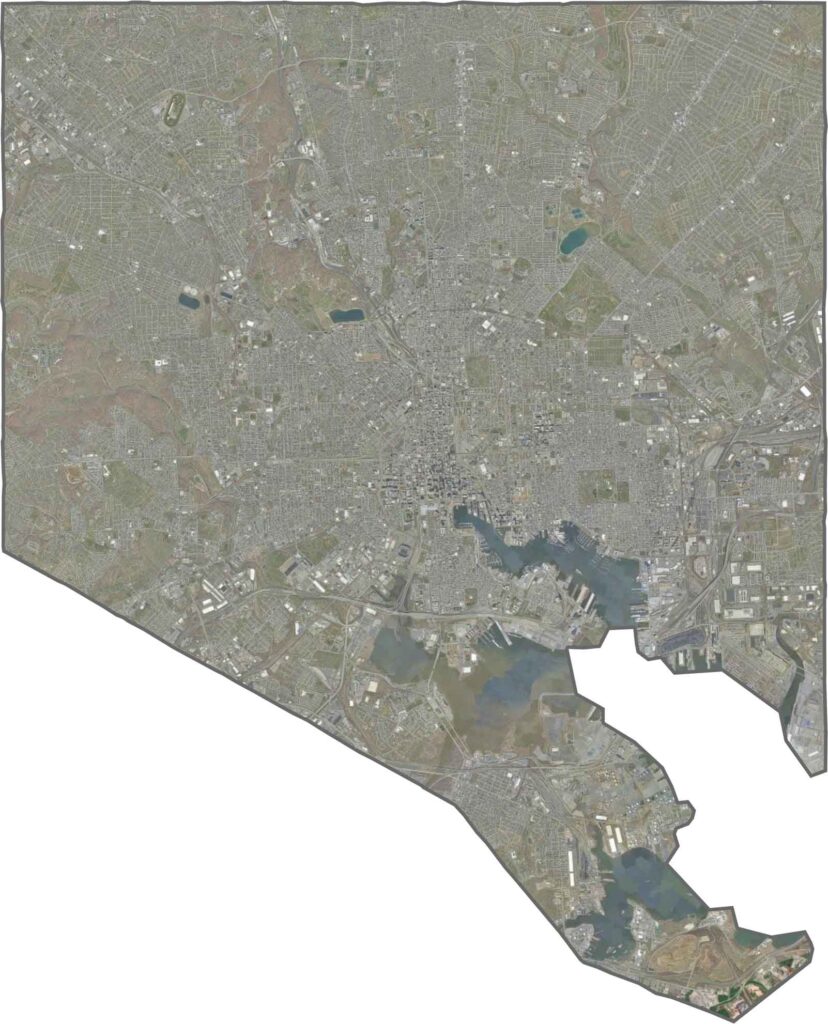
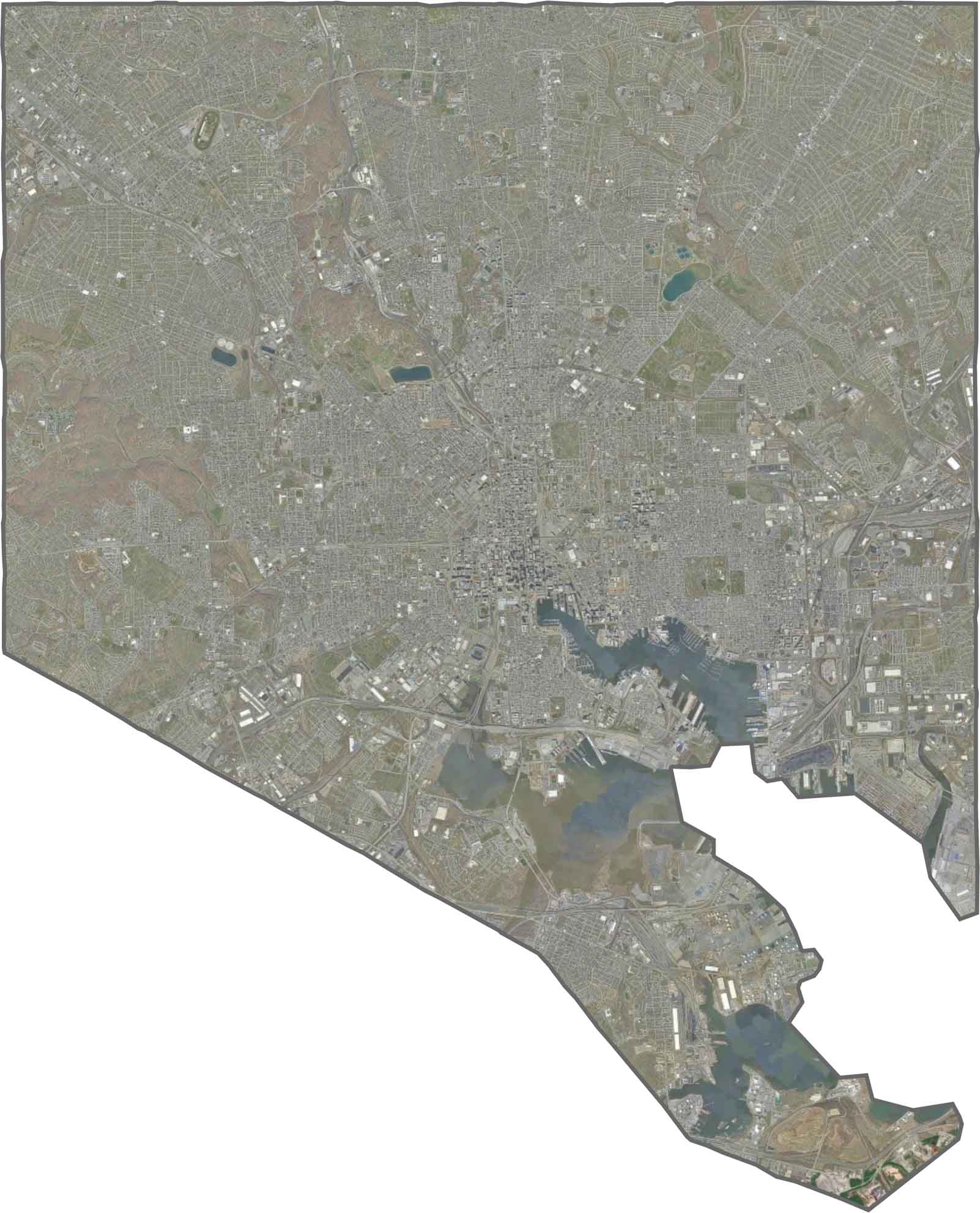
The Baltimore City satellite map provides a detailed aerial view of the Inner Harbor, waterfront piers, downtown buildings, and surrounding neighborhoods. The city’s dense urban development is contrasted by green spaces such as Druid Hill Park, making satellite imagery useful for viewing Baltimore’s buildings, waterfront, parks, and overall urban landscape.
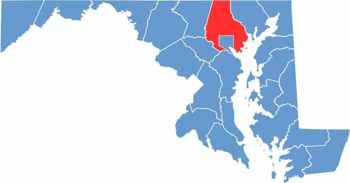
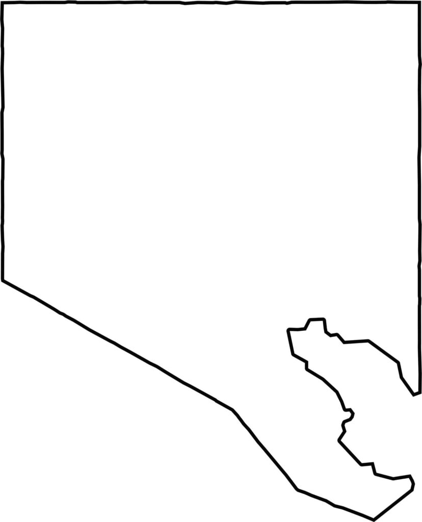
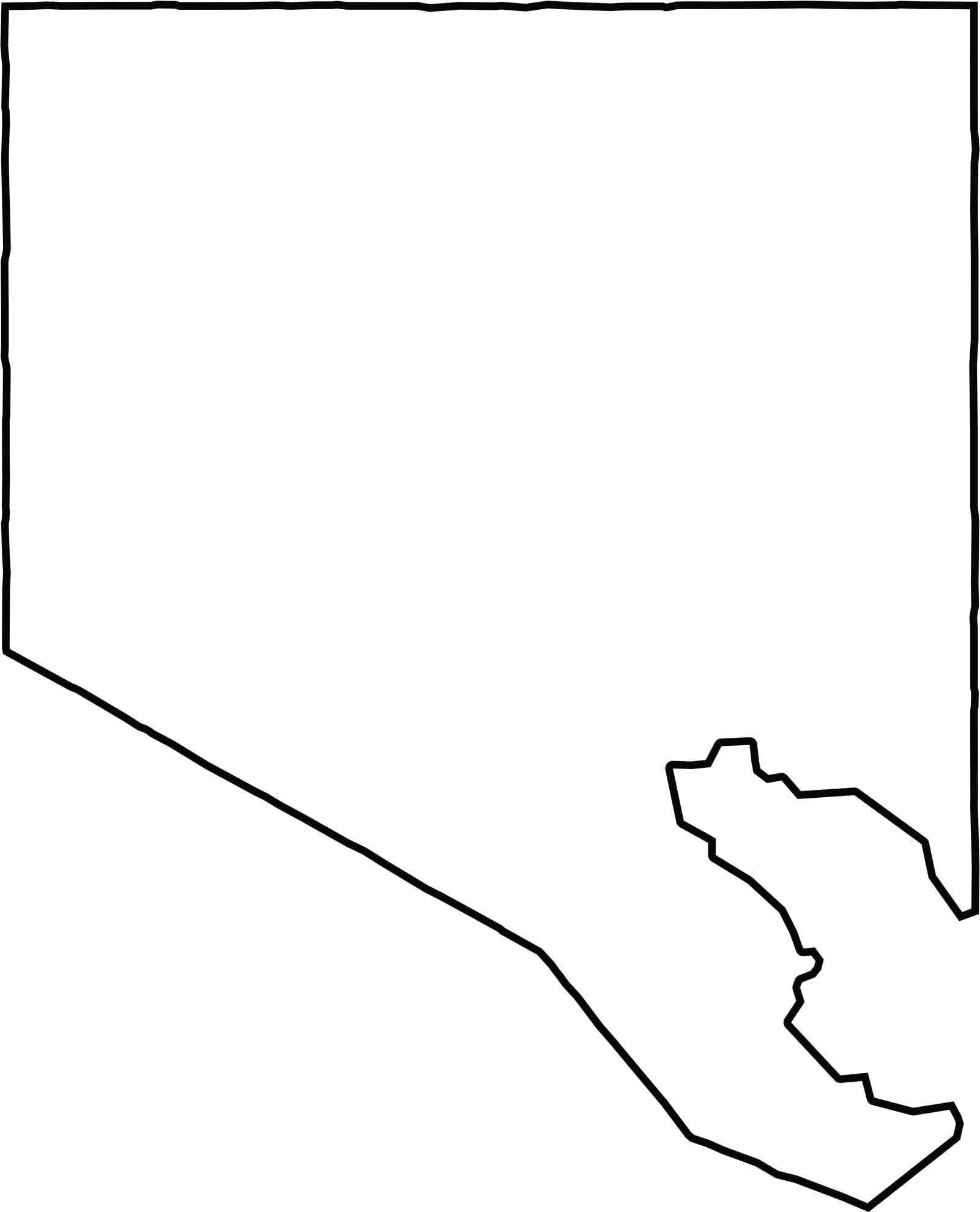
The Baltimore City blank map shows the city’s compact and irregular boundary within Maryland. Baltimore County surrounds the city on its landward sides, while the Patapsco River and harbor form portions of its southern boundary. Baltimore City is an independent city and does not share a border with another state.







With 23 counties and Baltimore City, Maryland offers a diverse mix of cities, small towns, rural communities, and scenic outdoor landscapes. From the Chesapeake Bay and coastal areas to historic towns and mountain regions, every part of the state has its own character. Explore our detailed Maryland county maps to learn more about the state’s counties, cities, roads, boundaries, and geographic features.