
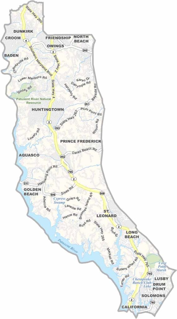
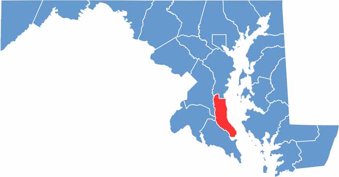
Calvert County is located along the western shore of the Chesapeake Bay in southern Maryland. Although it is the smallest Maryland county by land area, Calvert County offers a diverse landscape filled with coastal scenery, historic communities, and natural attractions.
The Calvert County coastline features scenic beaches, waterfront areas, and fossil-rich cliffs that provide a glimpse into the region’s geological past. These Maryland beaches and coastal formations make the county a notable destination for exploring the natural landscape of the Chesapeake Bay region.
At the southern end of Calvert County, Solomons Island is a popular waterfront community known for fishing, boating, crabbing, and relaxing along the bay. With its combination of Chesapeake Bay scenery, outdoor recreation, history, and natural beauty, Calvert County, Maryland offers plenty to explore.
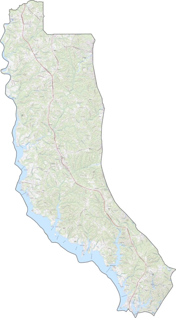
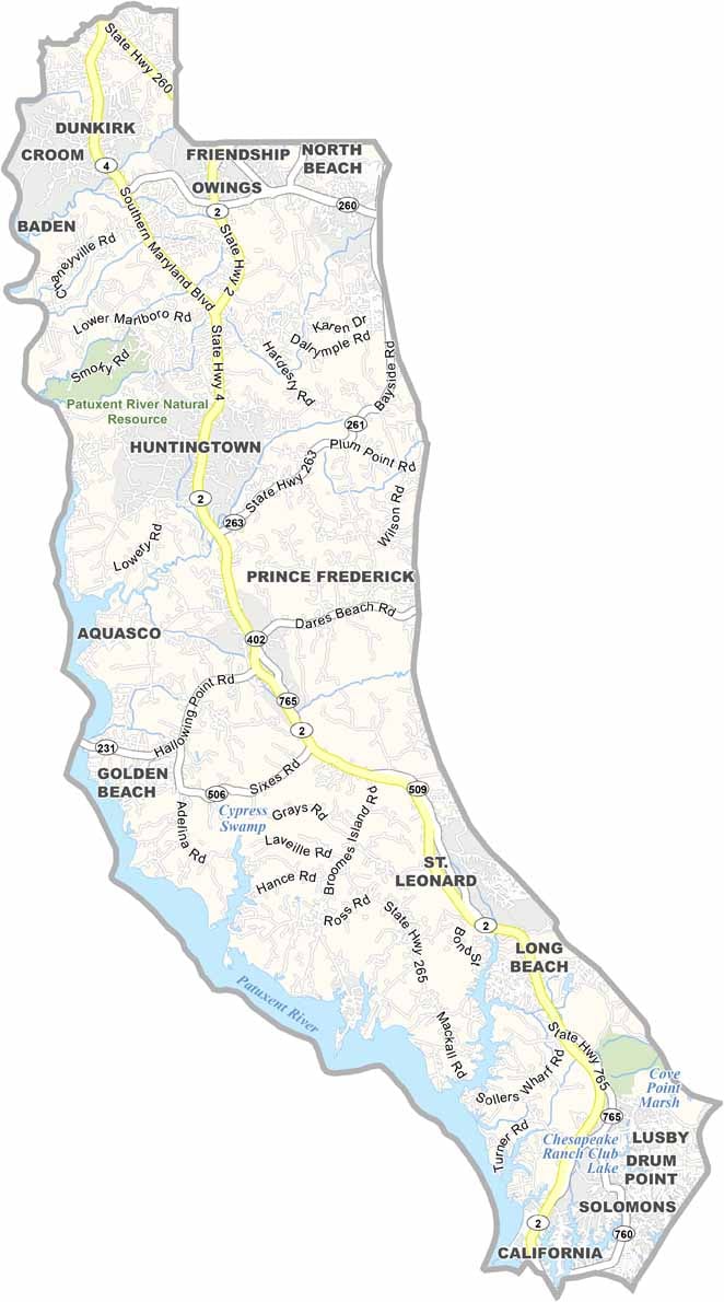
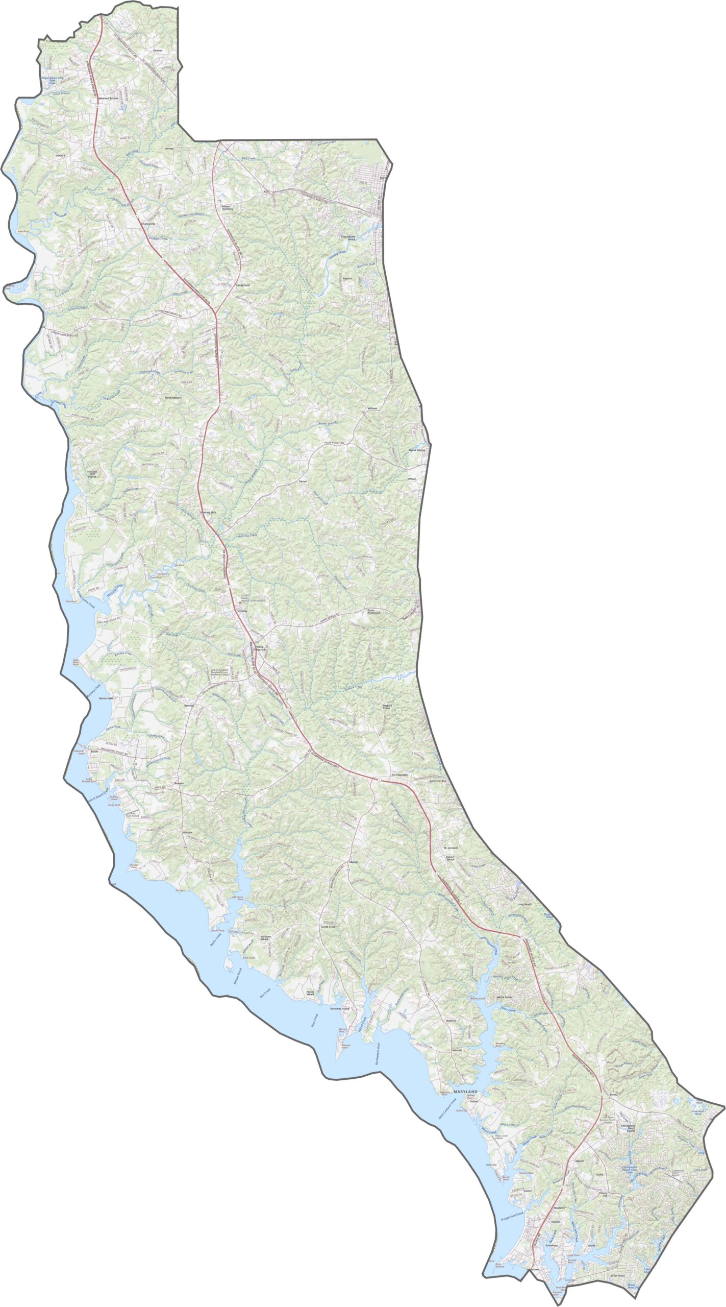
The Calvert County road map features Maryland Route 4, the primary highway running along the length of the peninsula. A network of local and back roads connects communities throughout Calvert County, while the area has no interstate highways. Use our interactive zoom tool to examine roads, routes, and other transportation features in greater detail.
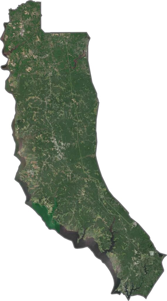
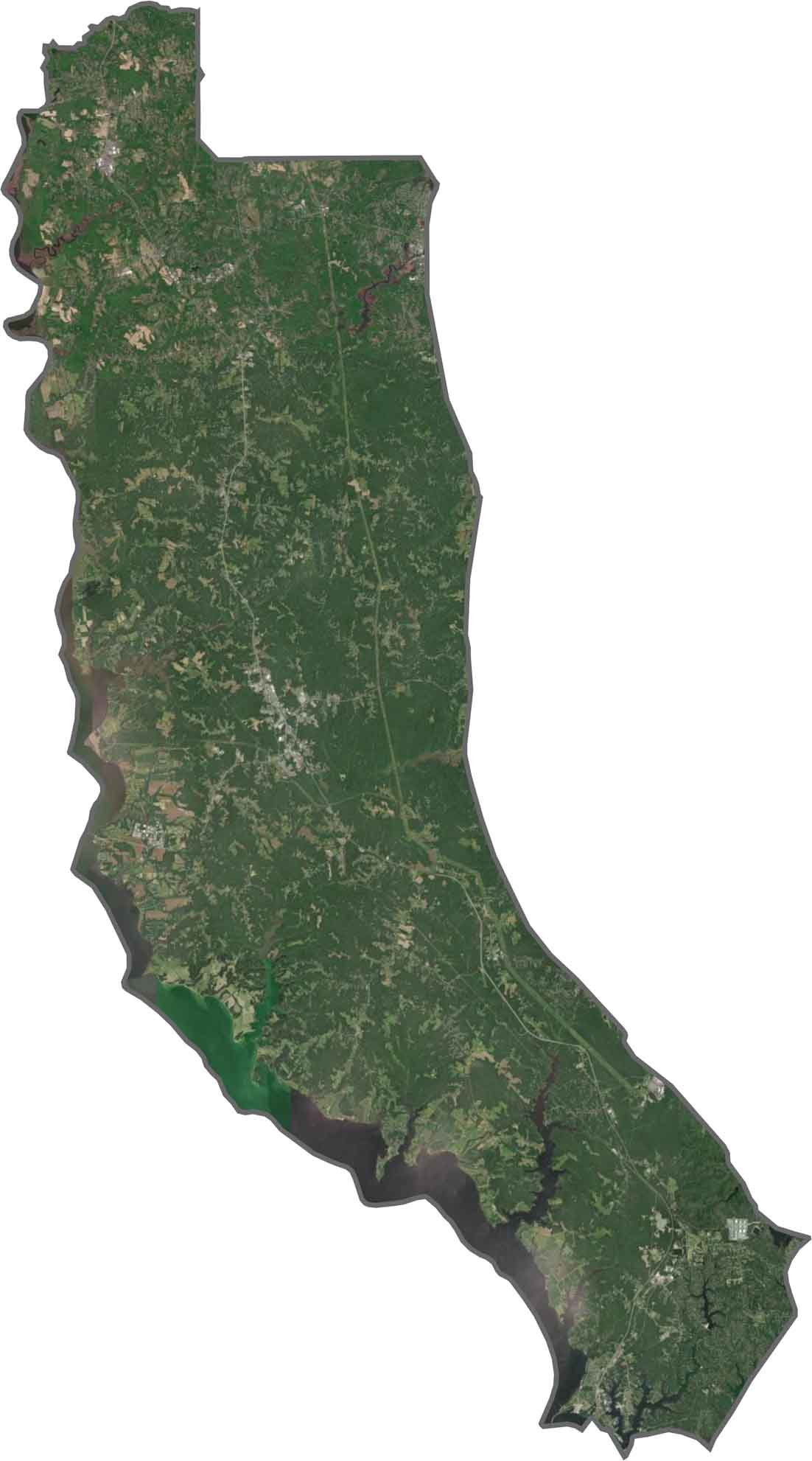
The Calvert County satellite map highlights a narrow peninsula surrounded by water, with extensive forests, green landscapes, and irregular shorelines visible throughout the county. Small communities are scattered across the peninsula, while large areas of natural and wooded land remain prominent along the Chesapeake Bay and Patuxent River shorelines.
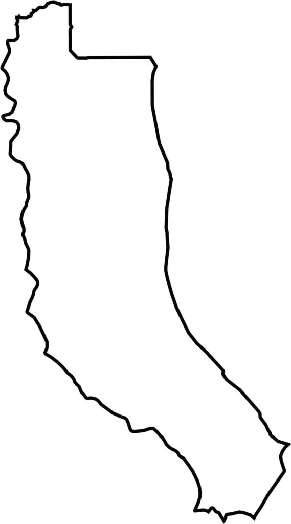
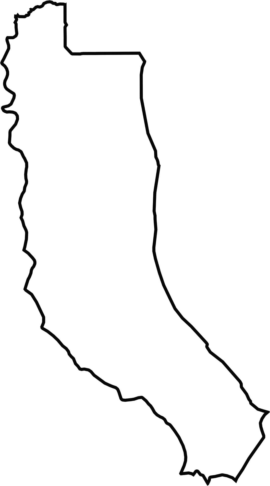
The Calvert County blank map shows the county as a narrow peninsula bordered by water on three sides. The Patuxent River forms much of its western boundary, while the Chesapeake Bay borders the eastern side. Anne Arundel County is the only Maryland county sharing a land boundary with Calvert County to the north.







With 23 counties and Baltimore City, Maryland offers a diverse mix of cities, small towns, rural communities, and scenic outdoor landscapes. From the Chesapeake Bay and coastal areas to historic towns and mountain regions, every part of the state has its own character. Explore our detailed Maryland county maps to learn more about the state’s counties, cities, roads, boundaries, and geographic features.