
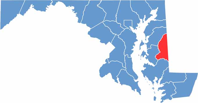
Caroline County is located in eastern Maryland, along the Delmarva Peninsula and bordering Delaware to the east. The county is surrounded by the region’s characteristic Maryland farmland, open fields, and peaceful rural communities.
The Choptank River winds through Caroline County, offering scenic waterways and opportunities for outdoor recreation. The county’s diverse landscape includes forests, wetlands, agricultural fields, and other natural areas that showcase the rural character of eastern Maryland.
Visitors interested in Caroline County history can explore sites connected to the Underground Railroad and the area’s important past. With its scenic countryside, natural landscapes, and historic attractions, Caroline County, Maryland offers a relaxing look at rural life on the Eastern Shore.
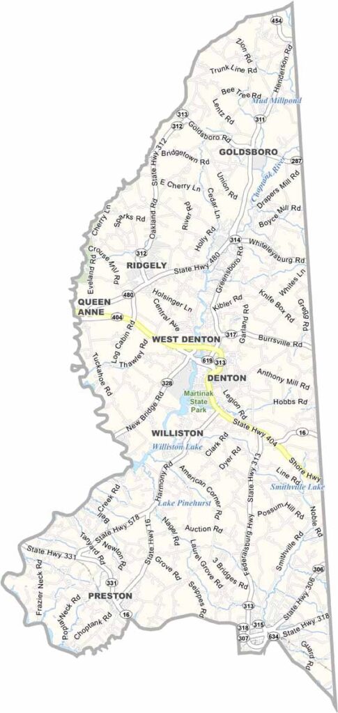
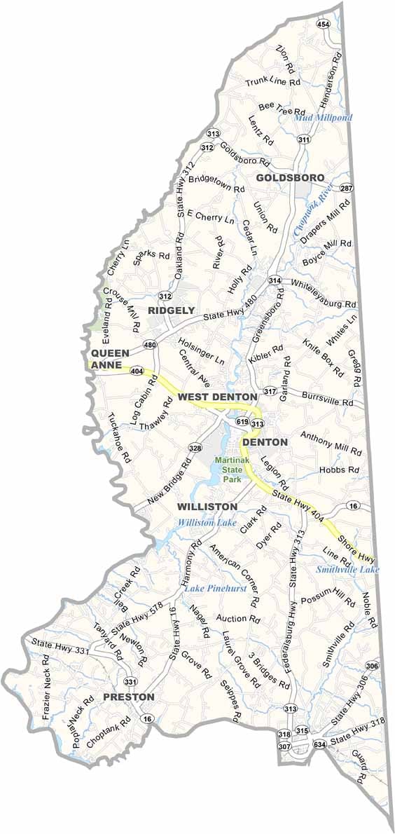
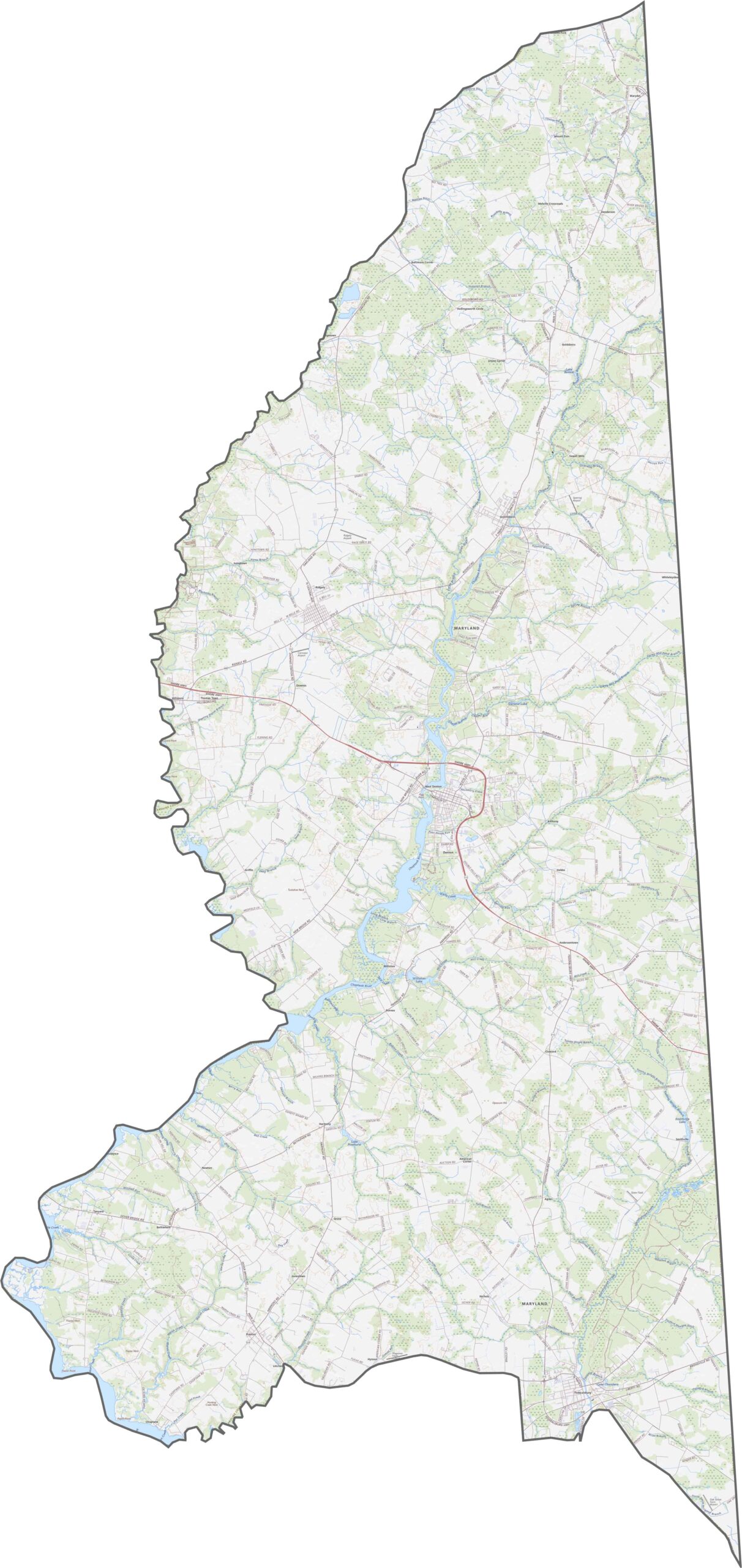
The Caroline County road map highlights Maryland Route 404, an important east-west route connecting the county with surrounding communities and the Chesapeake Bay Bridge area. Numerous local roads cross the agricultural landscape and follow waterways throughout the county. Use our zoom tool to explore major roads, rural routes, and key areas in greater detail.
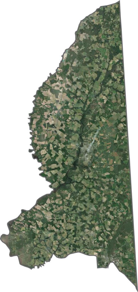
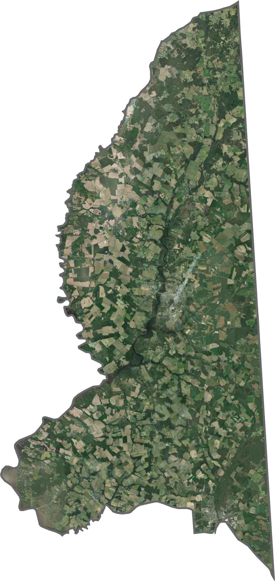
The Caroline County satellite map provides a detailed view of the county’s agricultural landscape, with extensive farmland, fields of corn and soybeans, wooded areas, and narrow tree lines visible across the region. Denton, the county seat, is located near the center of Caroline County, Maryland, providing a useful reference point for exploring the surrounding landscape.
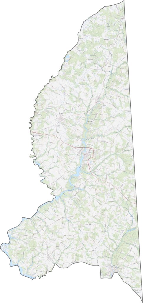
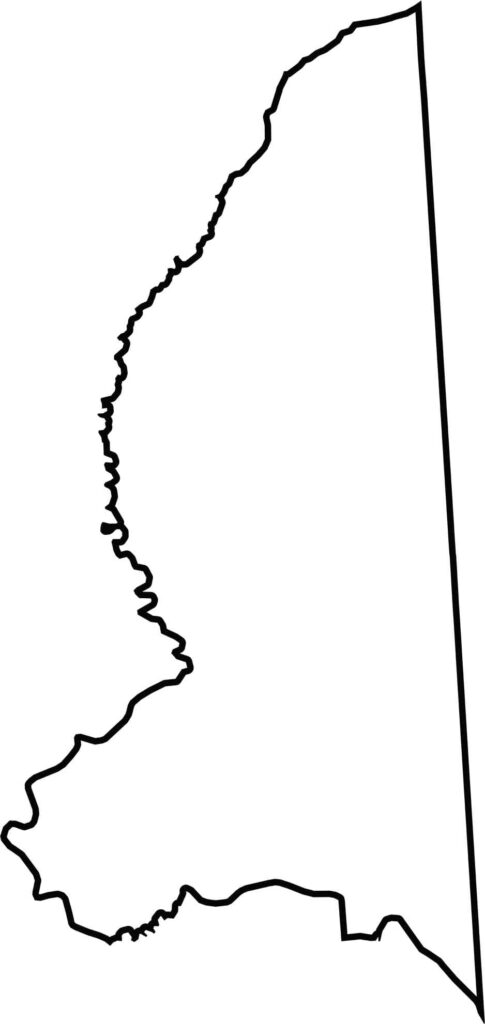
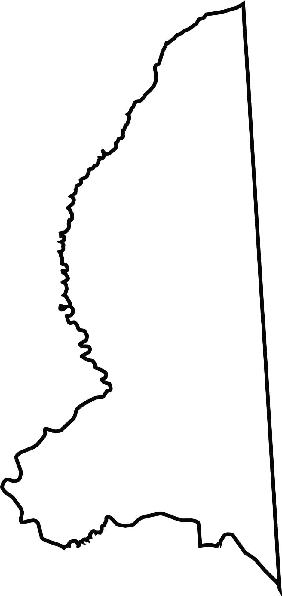
The Caroline County blank map clearly shows the county’s geographic boundaries within Maryland, including its eastern border with Delaware. The Choptank River and Tuckahoe Creek help define important waterways along the western and central parts of the county, making the outline useful for understanding the county’s regional geography.







With 23 counties and Baltimore City, Maryland offers a diverse mix of cities, small towns, rural communities, and scenic outdoor landscapes. From the Chesapeake Bay and coastal areas to historic towns and mountain regions, every part of the state has its own character. Explore our detailed Maryland county maps to learn more about the state’s counties, cities, roads, boundaries, and geographic features.