
Carroll County is located in the northern part of Maryland, within easy reach of Baltimore. The county is known for its rolling hills, scenic countryside, and charming small towns.
Local farmers’ markets, antique shops, and rural communities give visitors a glimpse into the area’s traditional character. Carroll County history is also an important part of the region, with Westminster, the county seat and largest city, tracing its roots back to the 18th century.
From local high school football games to family-owned diners and peaceful country roads, Carroll County offers a mix of community life, history, and natural scenery. Whether you are exploring its historic towns or enjoying the Maryland countryside, the county provides plenty of places to discover.
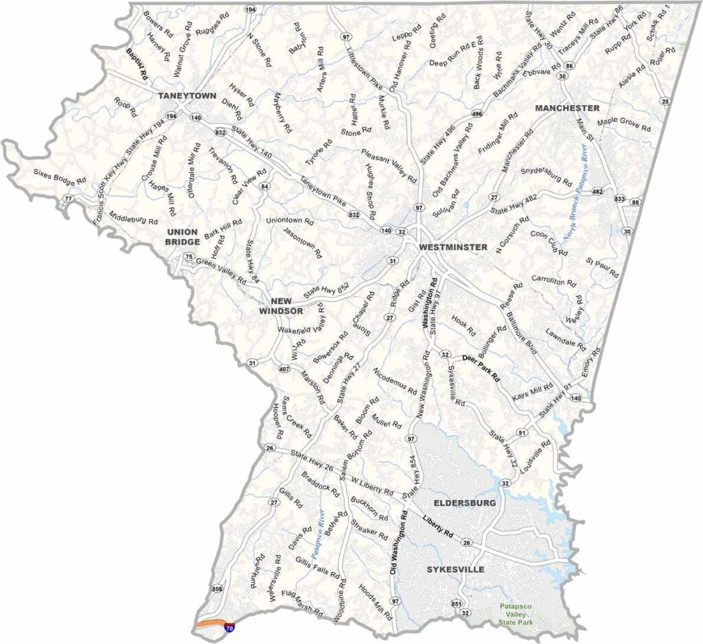
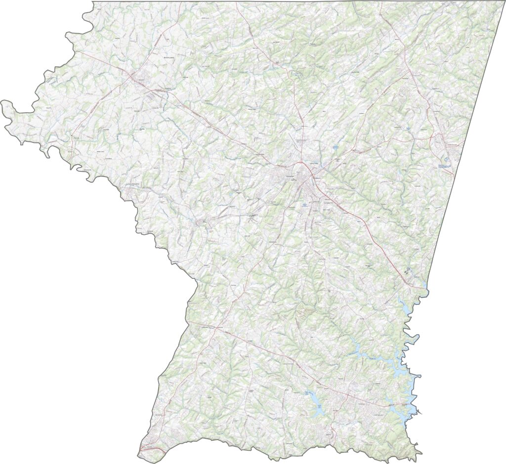
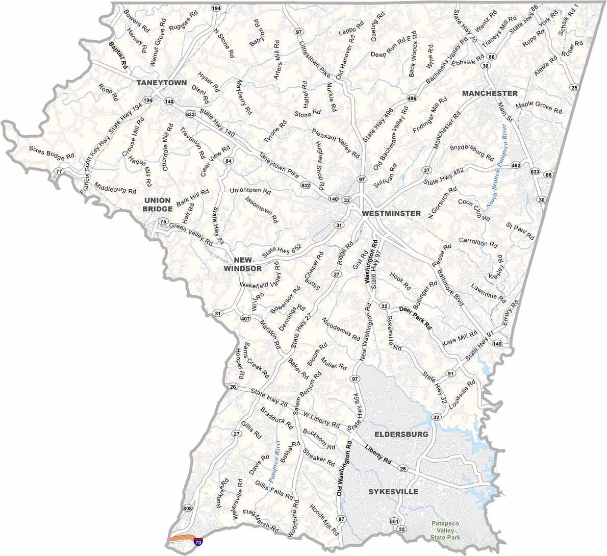
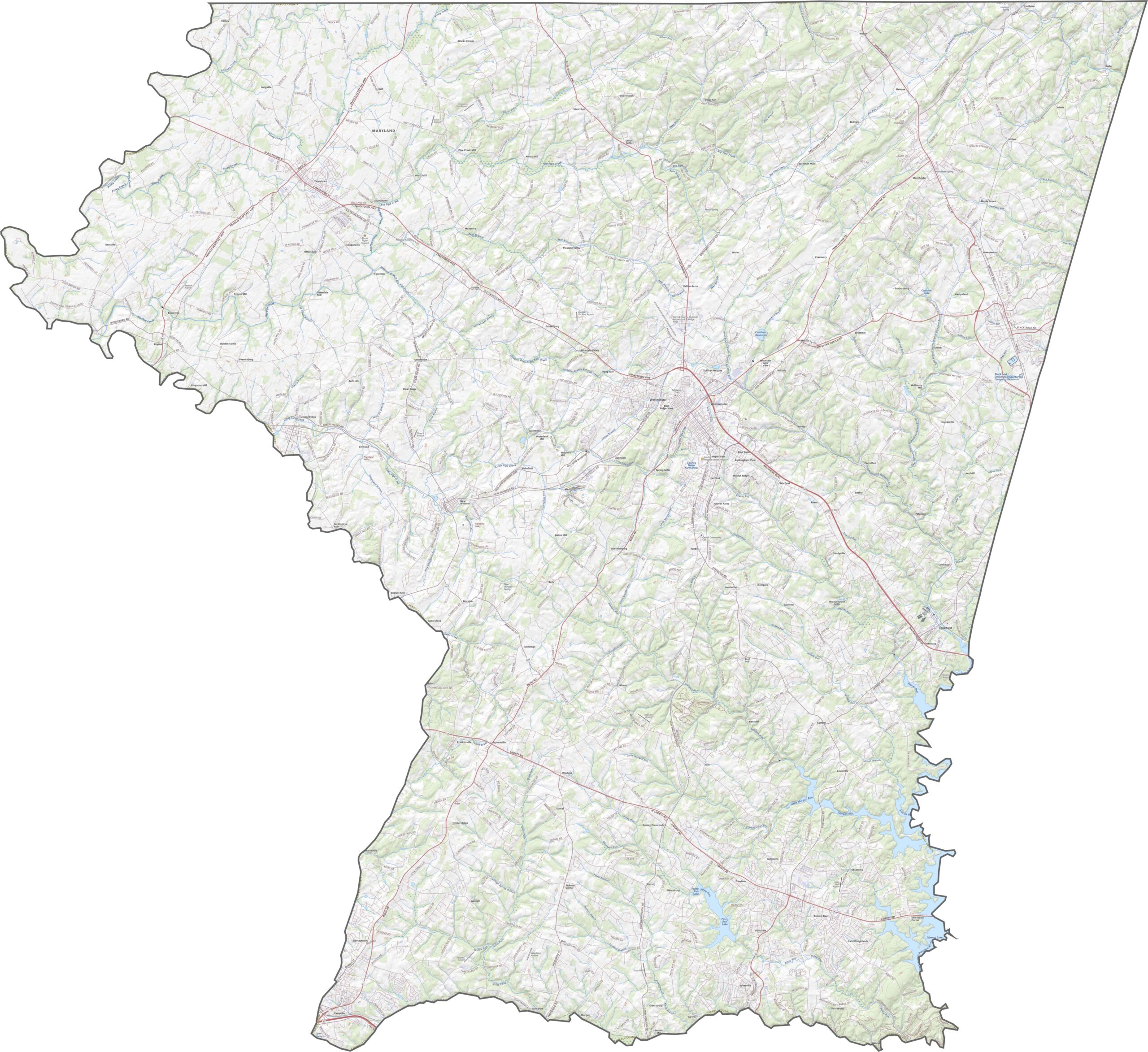
The Carroll County road map shows a network of roads winding across the county’s rolling hills, including routes that follow historic paths through the countryside. Use the interactive map tool and topographic map below to explore the road network and surrounding terrain in greater detail.
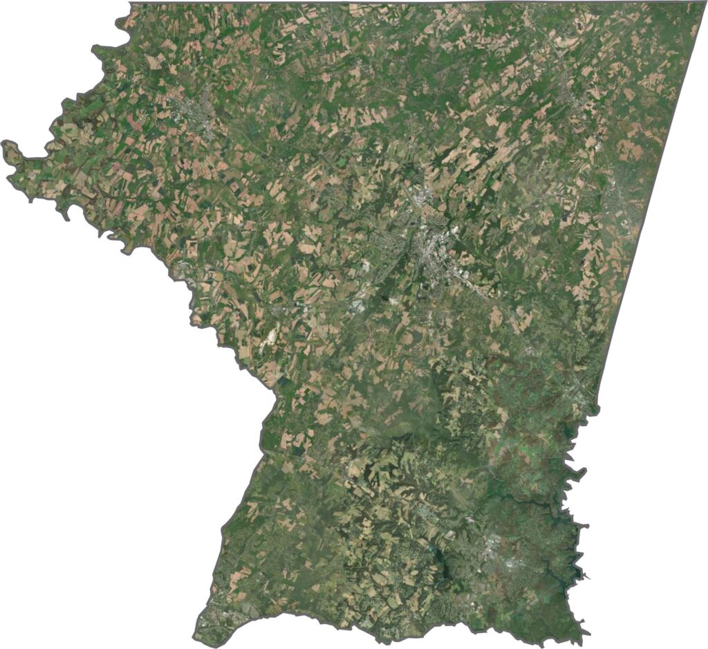
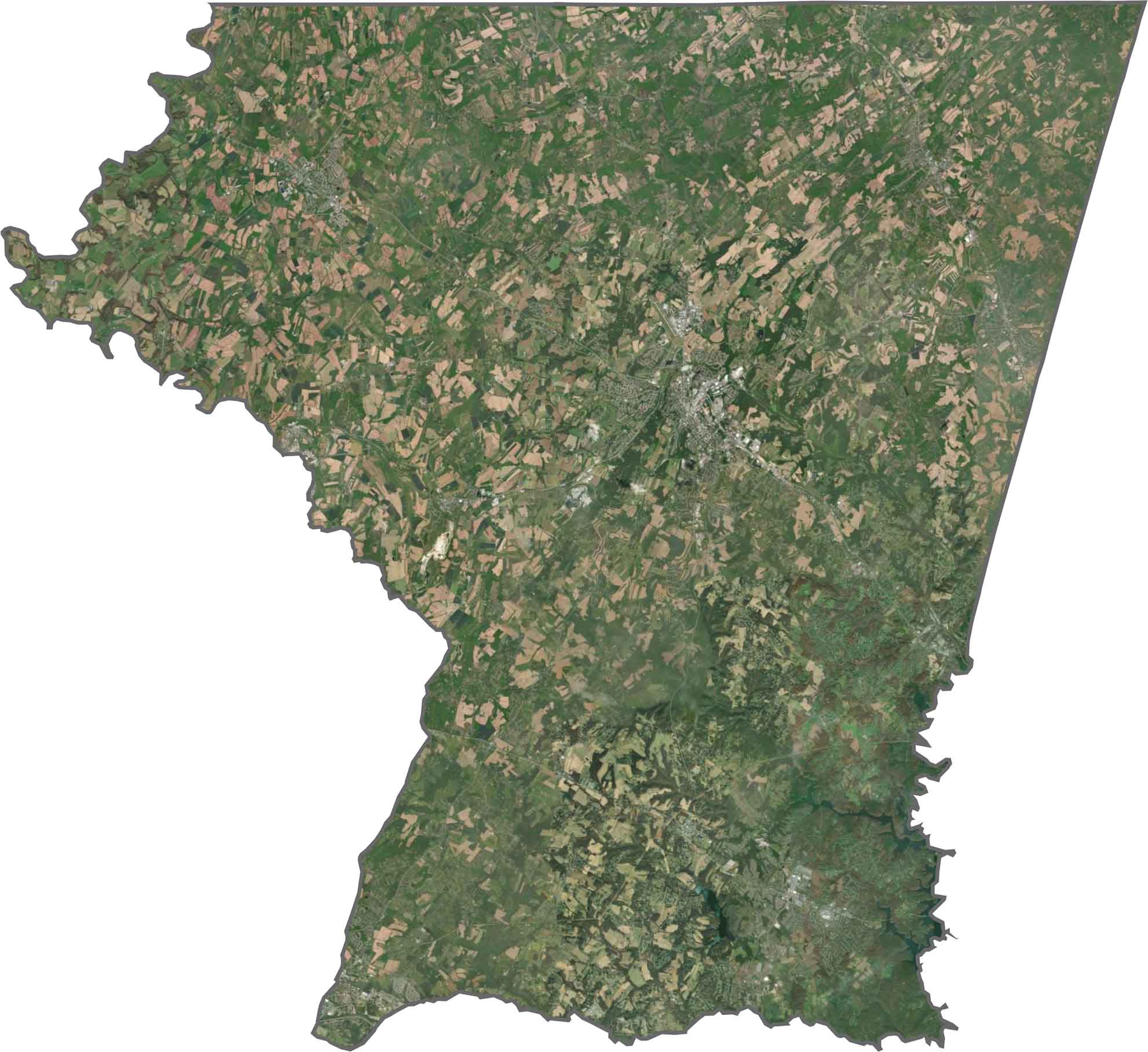
The Carroll County satellite map highlights the county’s rolling Piedmont terrain, where gently elevated landscapes transition toward the nearby mountains. Westminster is prominently situated near the center of the county, providing a useful reference point for exploring the surrounding landscape.
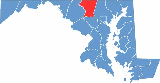
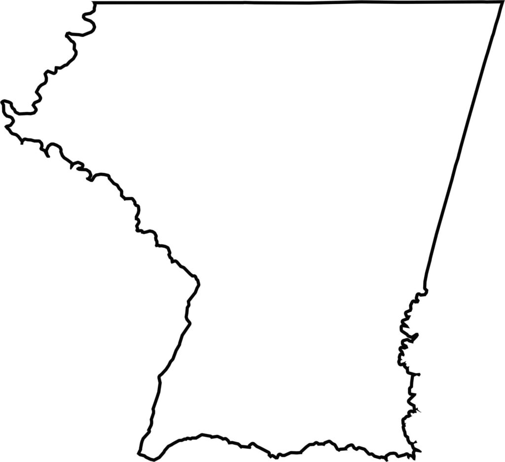
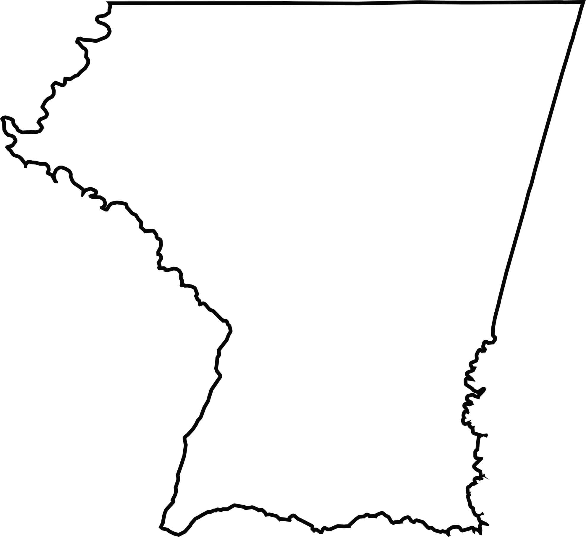
The Carroll County blank map provides a clear view of the county’s boundaries and geographic position within Maryland. The Monocacy River forms much of the western boundary, while Pennsylvania borders the county to the north, making the outline useful for identifying surrounding areas and regional geography.







With 23 counties and Baltimore City, Maryland offers a diverse mix of cities, small towns, rural communities, and scenic outdoor landscapes. From the Chesapeake Bay and coastal areas to historic towns and mountain regions, every part of the state has its own character. Explore our detailed Maryland county maps to learn more about the state’s counties, cities, roads, boundaries, and geographic features.