
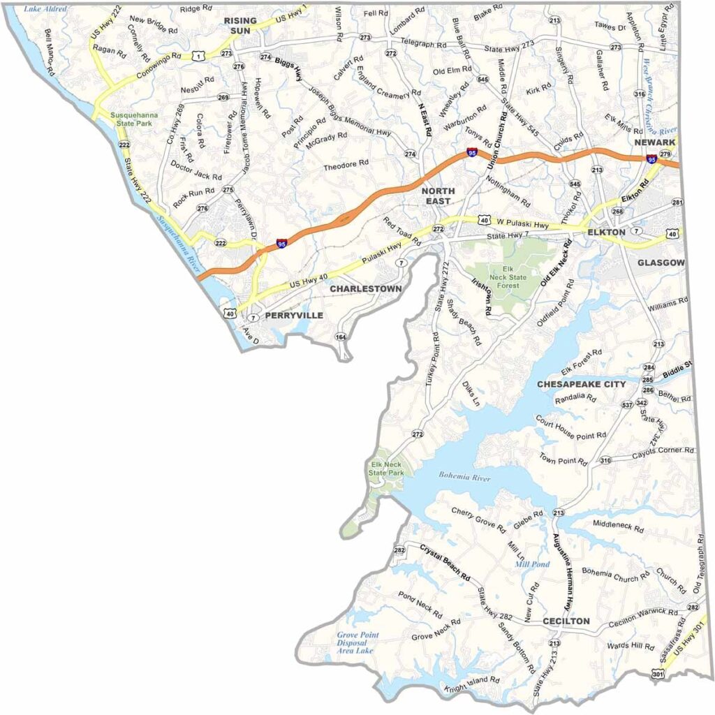
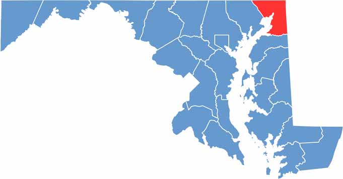
Cecil County is located in the northeastern corner of Maryland, bordering both Pennsylvania and Delaware. The county combines peaceful rural landscapes, waterfront communities, and scenic natural areas, offering plenty of places to explore.
The Chesapeake Bay borders the county to the south, while rolling hills, farmland, and open countryside stretch across the northern areas. Communities such as Elkton and Rising Sun add small-town character throughout Cecil County.
Visitors can enjoy outdoor recreation at Elk Neck State Park, where popular activities include hiking, fishing, and scenic sightseeing. The Susquehanna River forms much of the county’s western boundary, adding another major geographic feature to the landscape. With its rural character, waterfront scenery, and welcoming communities, Cecil County offers a relaxed and down-to-earth experience.
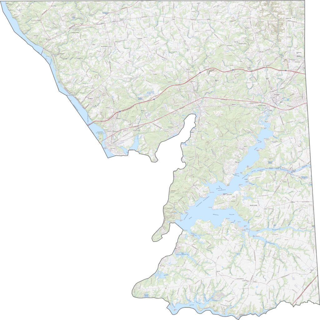
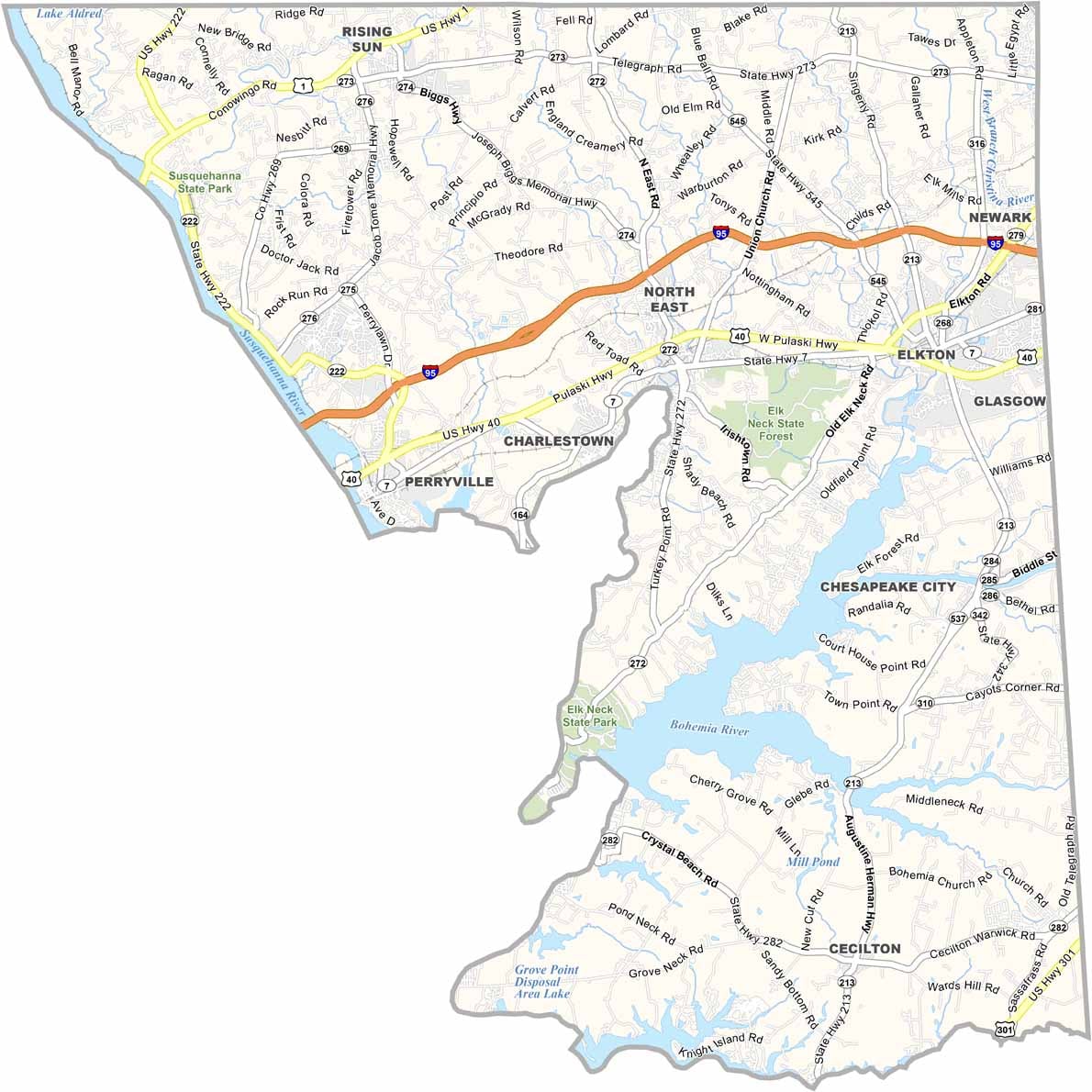
Interstate 95 runs east-west through Cecil County, providing an important connection between Baltimore and Philadelphia. Other major routes, including U.S. Route 40, serve local communities and connect the county with surrounding areas. Several bridges cross the Susquehanna River, including the Hatem Memorial Bridge. Use our road map and zoom tool below to explore the transportation network in greater detail.
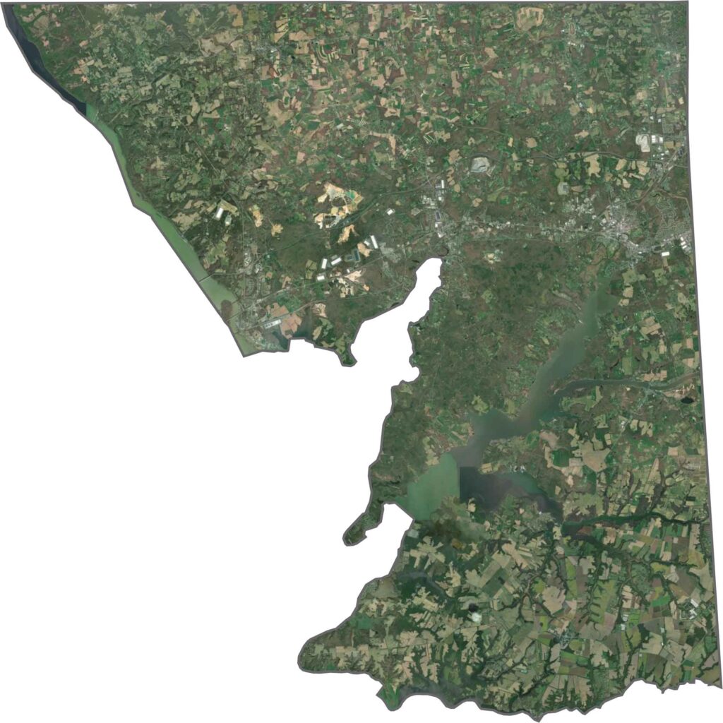
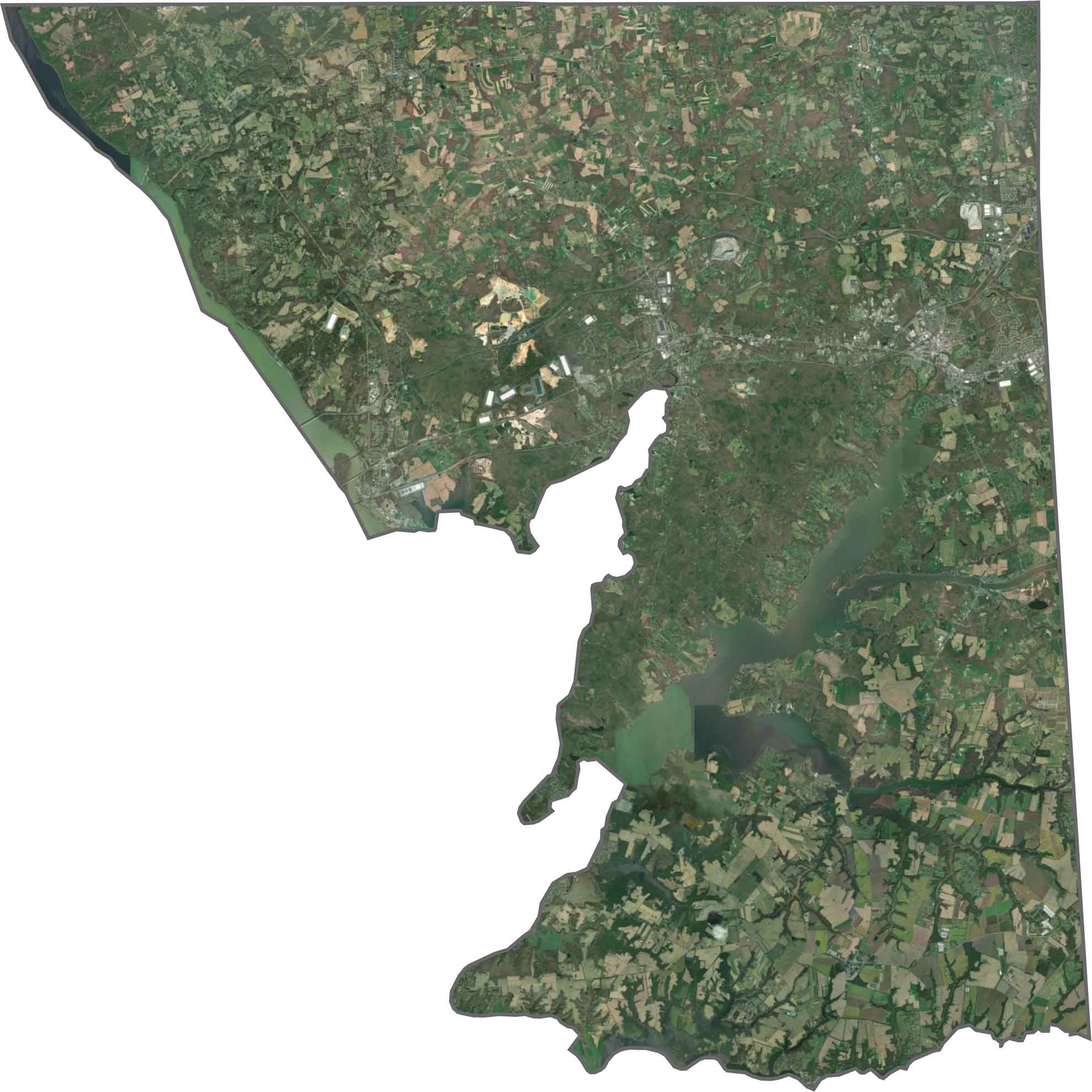
Our Cecil County satellite map shows a varied landscape of agricultural fields, forests, and developed areas concentrated along major highway corridors. The Conowingo Dam is clearly visible on the Susquehanna River, with its large reservoir extending northward. Along the southern shoreline, wetlands and waterways create a distinctive coastal landscape near the Chesapeake Bay.
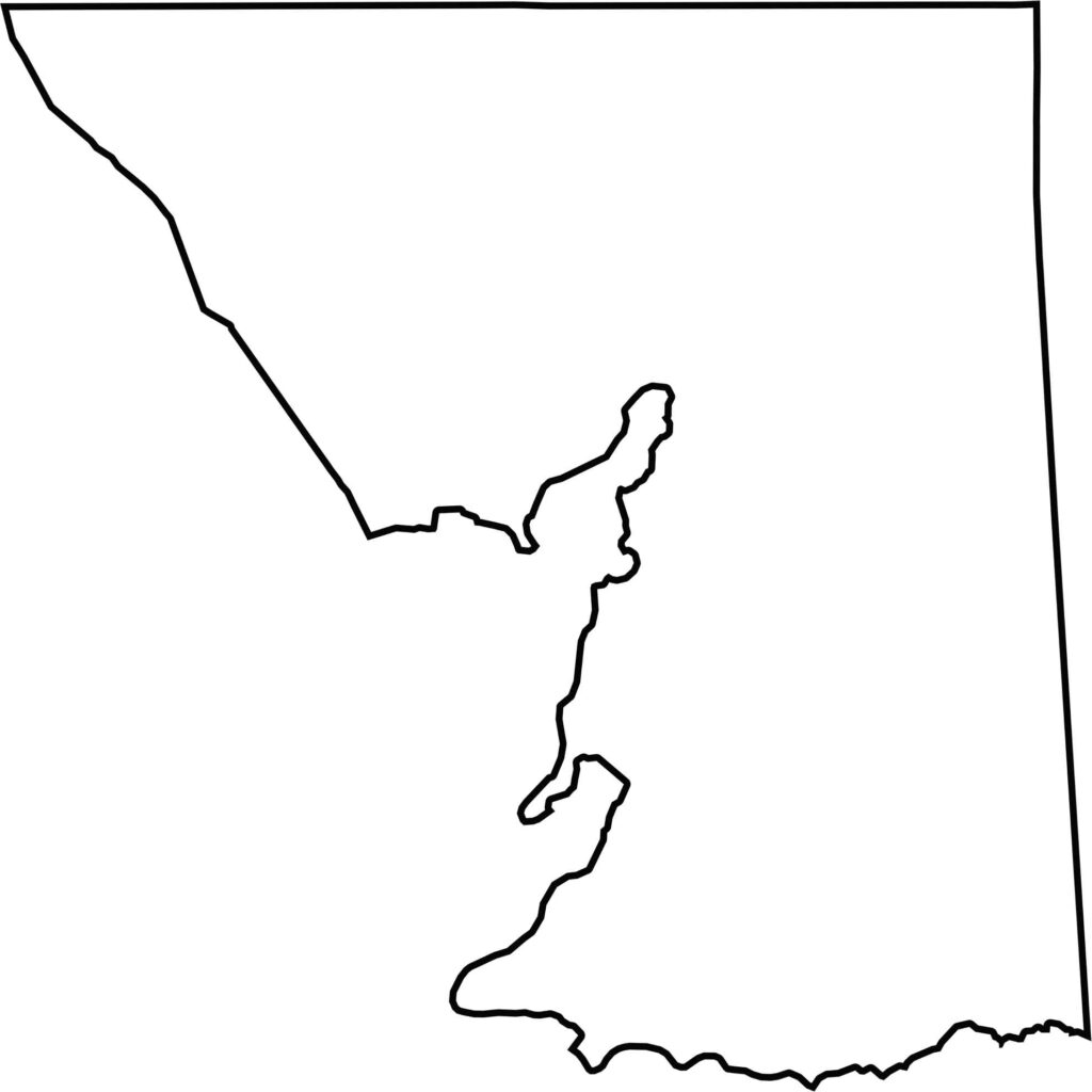
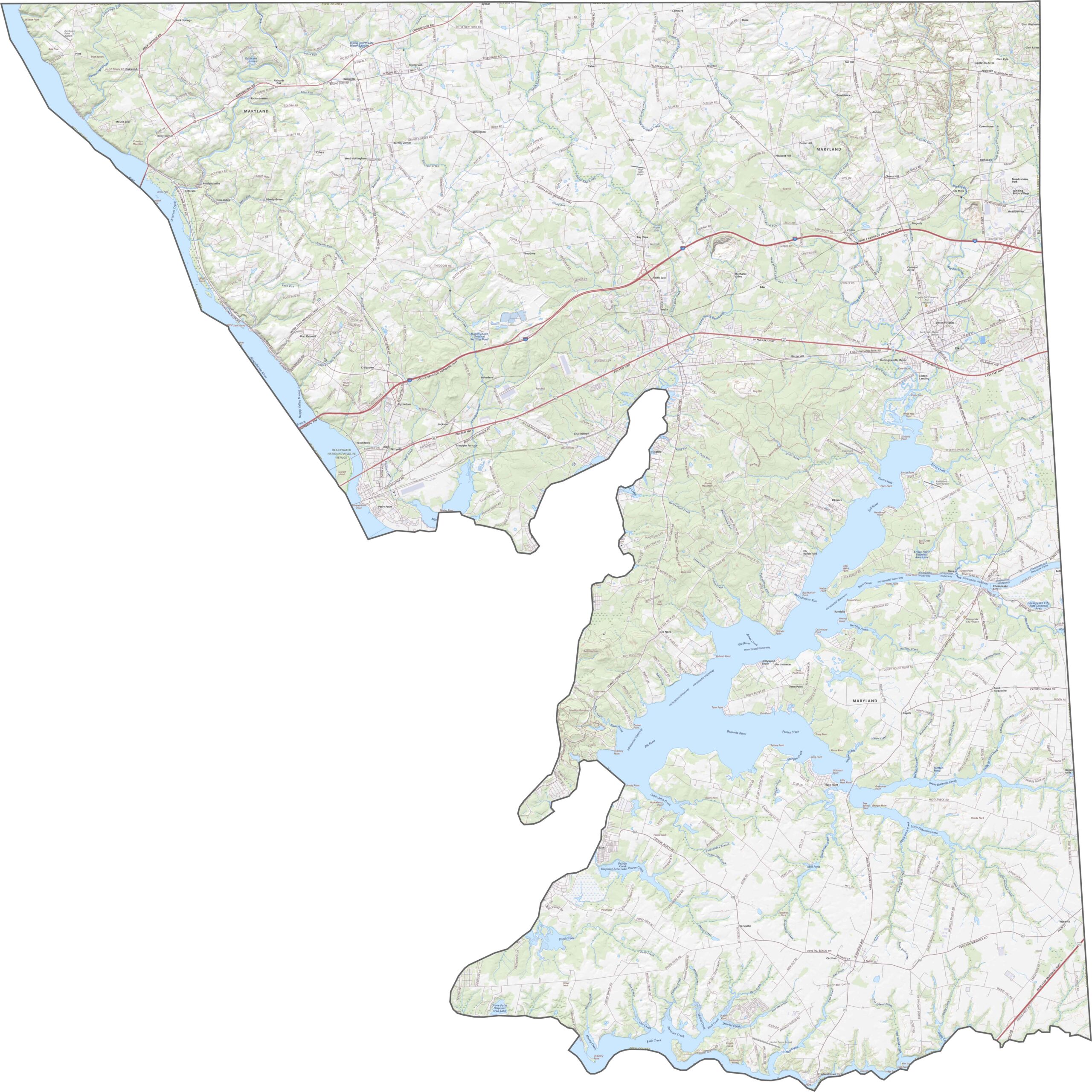
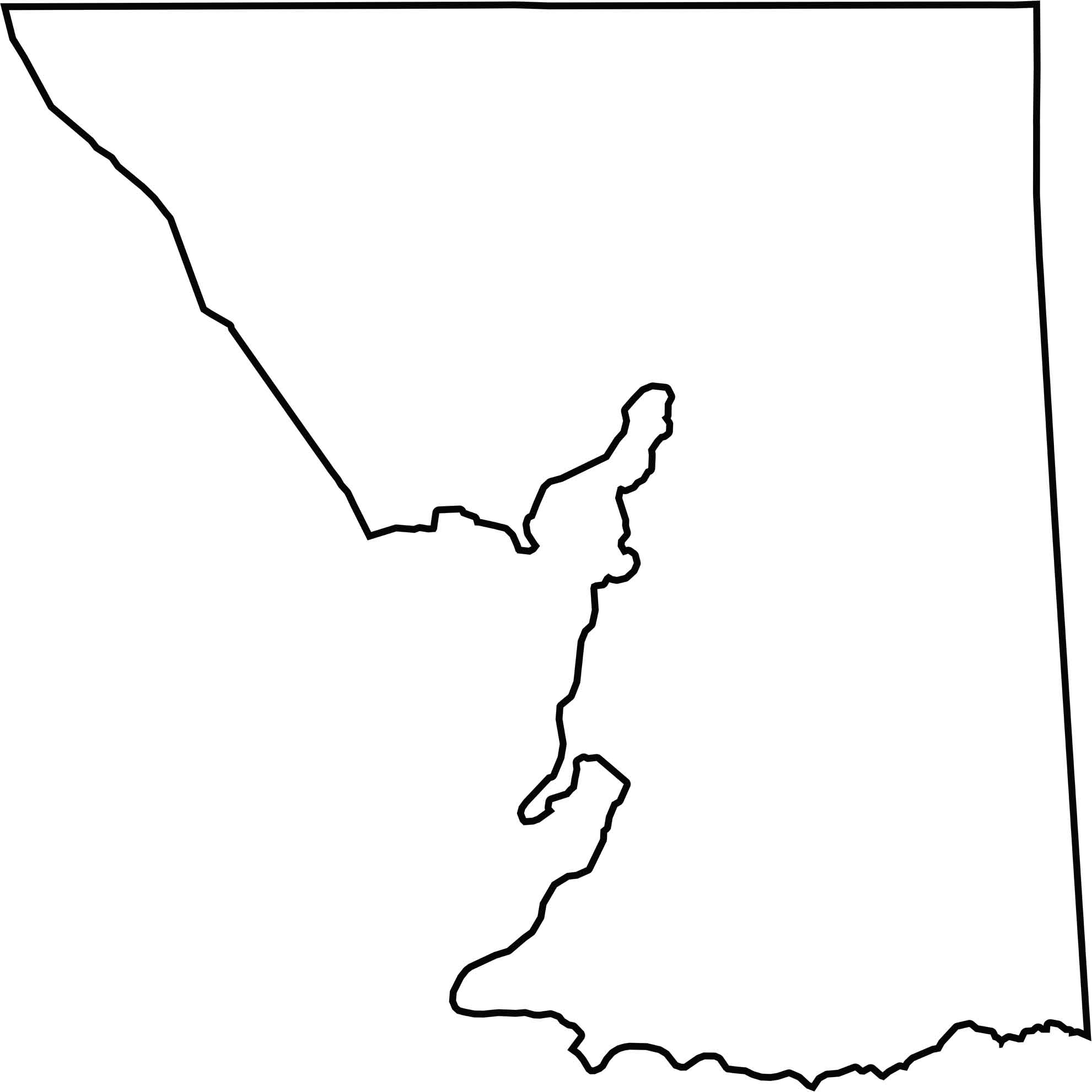
Cecil County occupies the northeastern corner of Maryland, bordering Pennsylvania to the north and Delaware to the east. The Susquehanna River forms much of the county’s western boundary, while the Chesapeake Bay borders its southern edge. Its irregular outline includes several peninsulas extending into the bay.







With 23 counties and Baltimore City, Maryland offers a diverse mix of cities, small towns, rural communities, and scenic outdoor landscapes. From the Chesapeake Bay and coastal areas to historic towns and mountain regions, every part of the state has its own character. Explore our detailed Maryland county maps to learn more about the state’s counties, cities, roads, boundaries, and geographic features.