
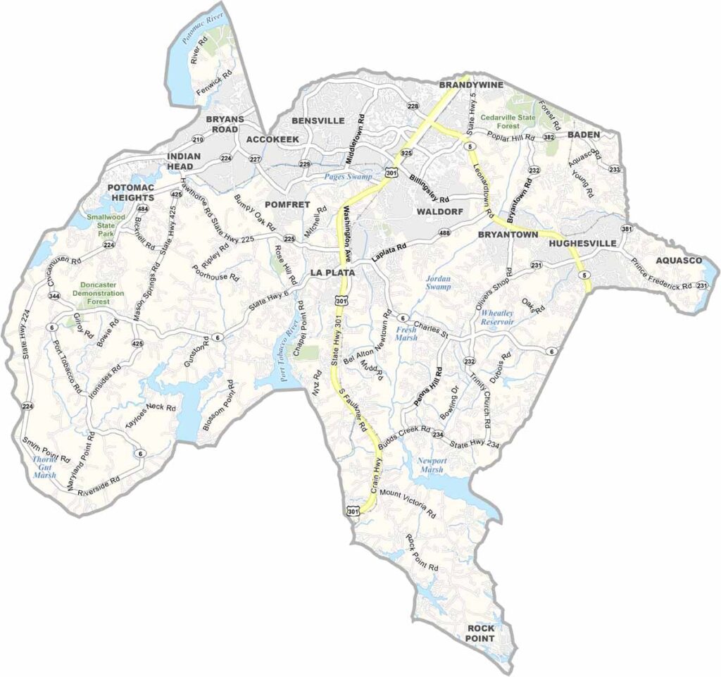
Charles County is located in Southern Maryland, about an hour from Washington, D.C., with the Potomac River forming much of its western boundary.
The county offers abundant natural beauty, with roughly 300 miles of shoreline and numerous parks and outdoor recreation areas. Popular activities include fishing, boating, and hiking, giving residents and visitors plenty of ways to enjoy the outdoors.
La Plata, the county seat, has a welcoming small-town atmosphere while remaining connected to the larger Washington, D.C. region. Traffic can be challenging, particularly for commuters, but the combination of natural scenery, outdoor recreation, and proximity to the capital remains an important part of the county’s appeal.
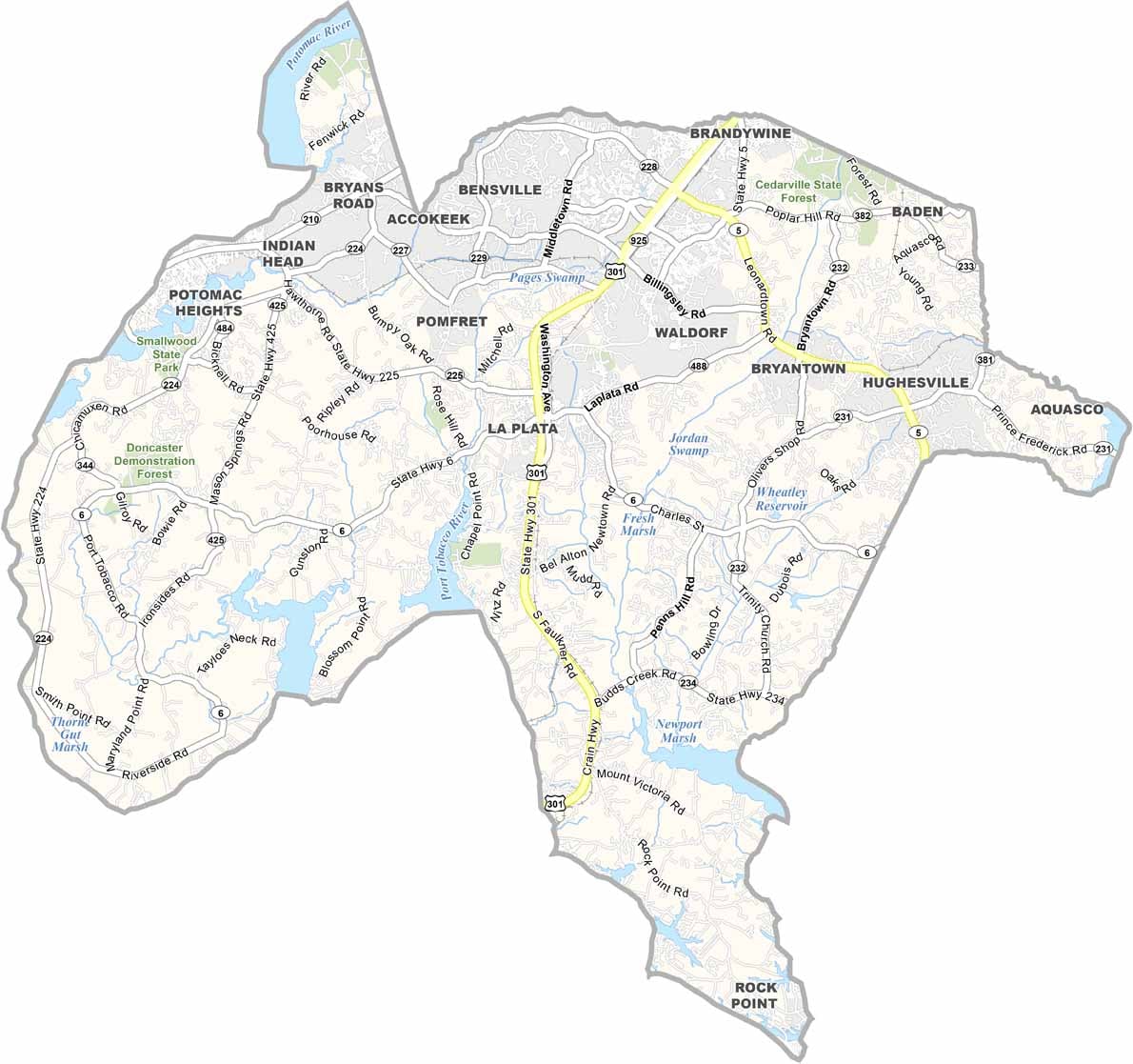
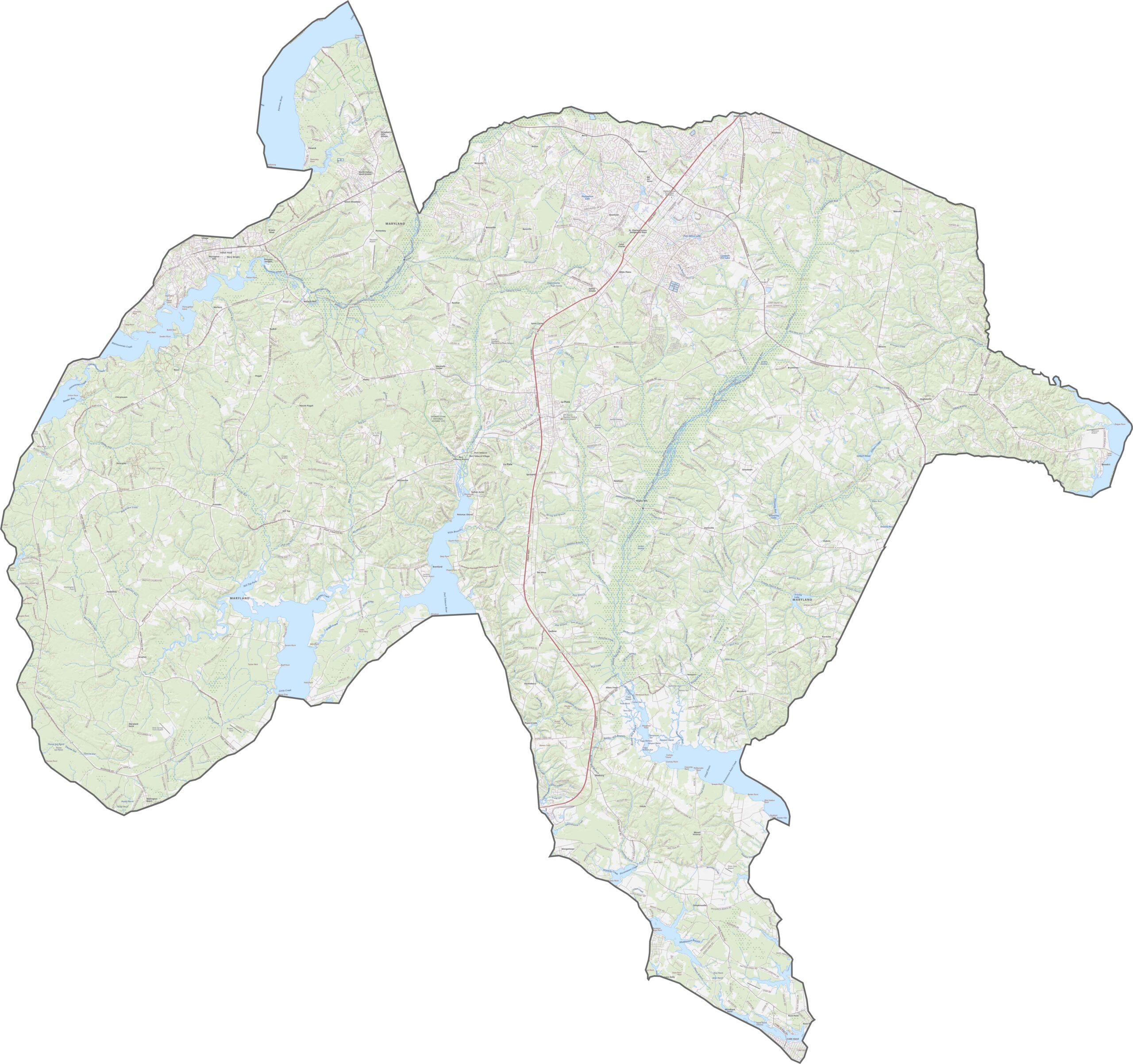
Route 301 serves as the primary north-south highway through Charles County, while Route 228 and Route 5 provide important connections to neighboring counties. Although the county has no interstate highways, Route 210 offers convenient access toward Washington, D.C. Explore the transportation network and major routes in greater detail with our road map and zoom tool.
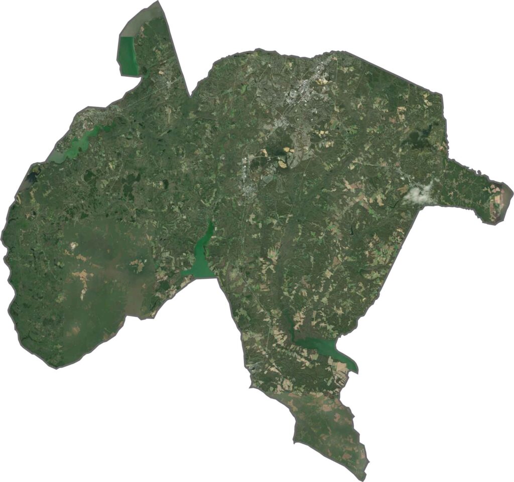
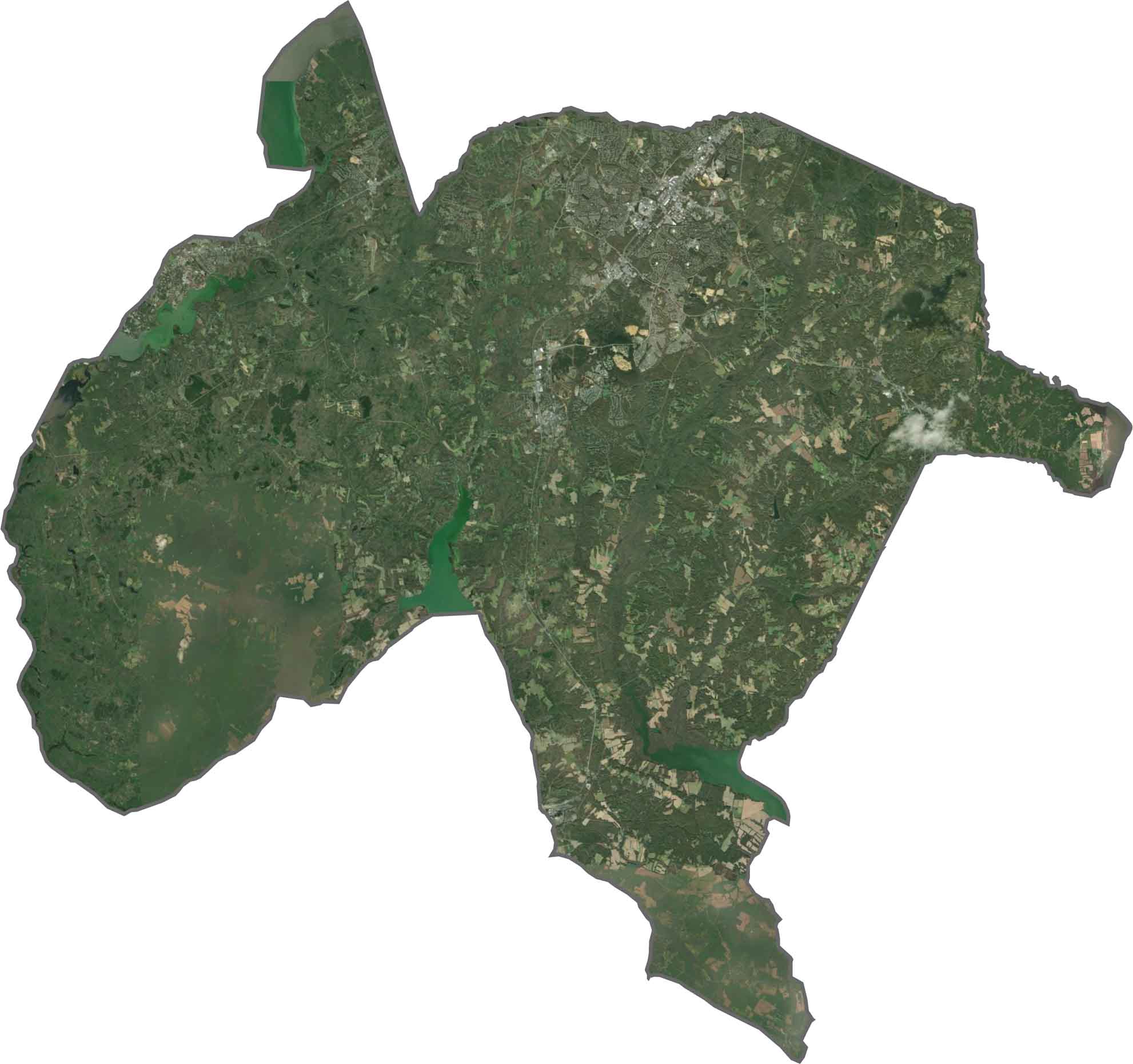
Our Charles County satellite map highlights dense forest cover across the western areas and more developed landscapes toward the northeast. Along the Potomac River, extensive tidal wetlands and small inlets shape the shoreline, while Waldorf stands out as the county’s most developed area, with a dense network of roads and built-up land.
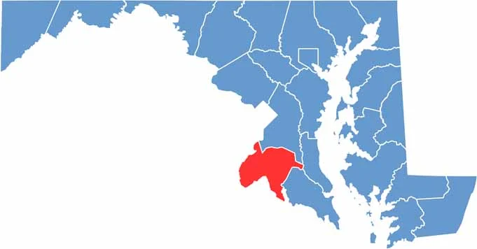
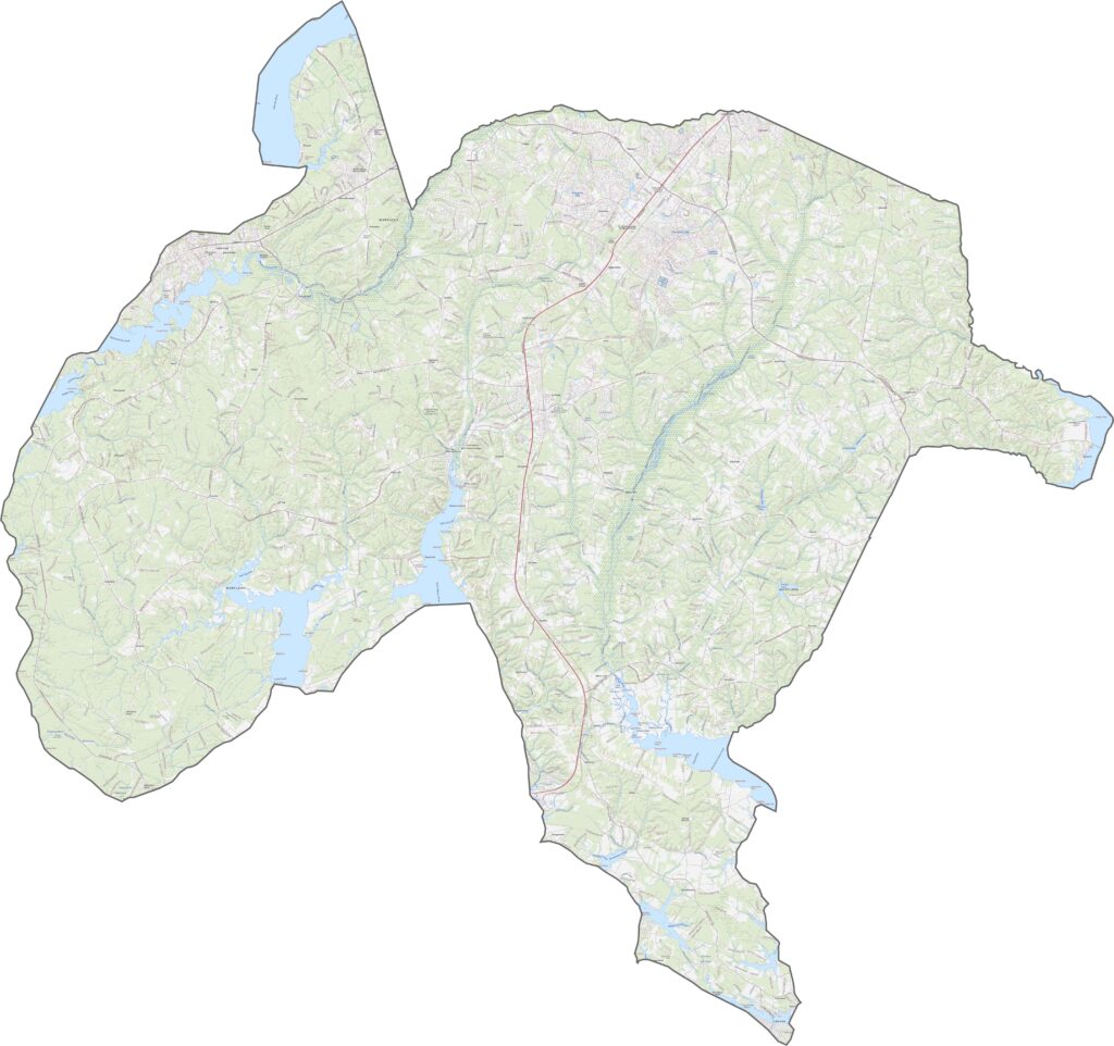
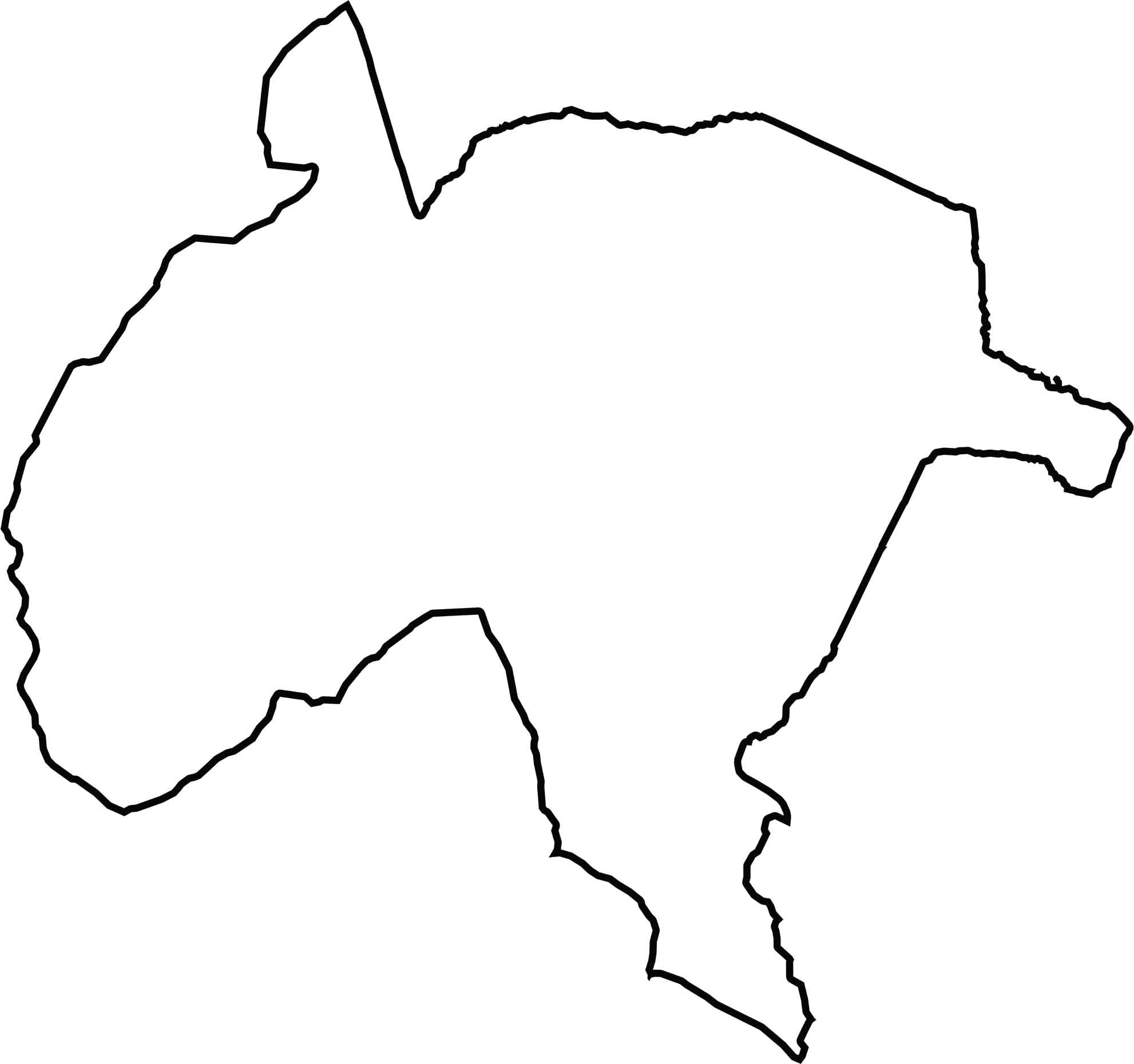
Charles County has a distinctive triangular shape, with the Potomac River forming its entire western boundary. Prince George’s County borders the county to the north, while St. Mary’s County lies to the south. The irregular Potomac River shoreline includes several points and projections extending into the river.







With 23 counties and Baltimore City, Maryland offers a diverse mix of cities, small towns, rural communities, and scenic outdoor landscapes. From the Chesapeake Bay and coastal areas to historic towns and mountain regions, every part of the state has its own character. Explore our detailed Maryland county maps to learn more about the state’s counties, cities, roads, boundaries, and geographic features.