
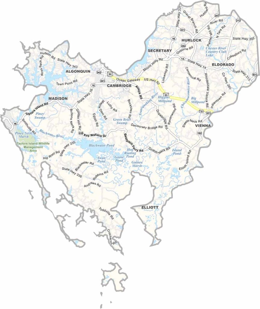
Dorchester County is located on Maryland’s Eastern Shore and is the state’s largest county by area. Nearly half of its approximately 983 square miles consists of water, giving the county an extensive network of rivers, marshes, and waterfront areas.
Often described as the “heart of Chesapeake country,” Dorchester County has deep ties to fishing and crabbing, which remain an important part of local life. The Blackwater National Wildlife Refuge covers roughly 28,000 acres, with expansive tidal marshes that provide excellent opportunities for birdwatching and wildlife observation.
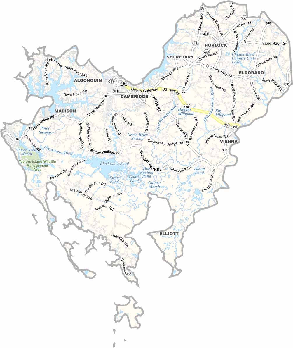
Cambridge, the county seat, sits along the Choptank River and features a charming historic district. With its scenic waterfront views, maritime traditions, and rich history, Dorchester County offers a peaceful coastal experience along Maryland’s Eastern Shore.
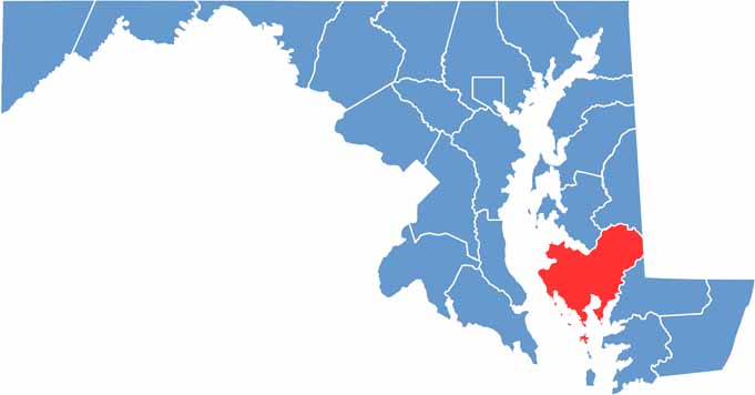
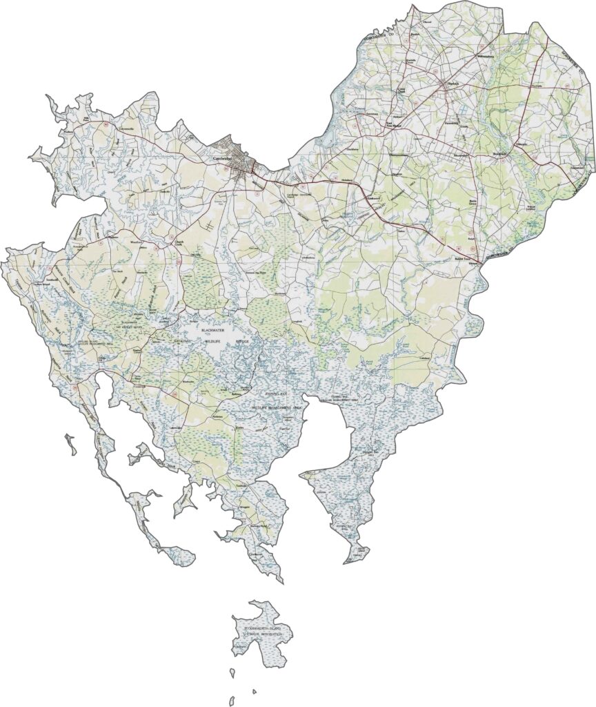
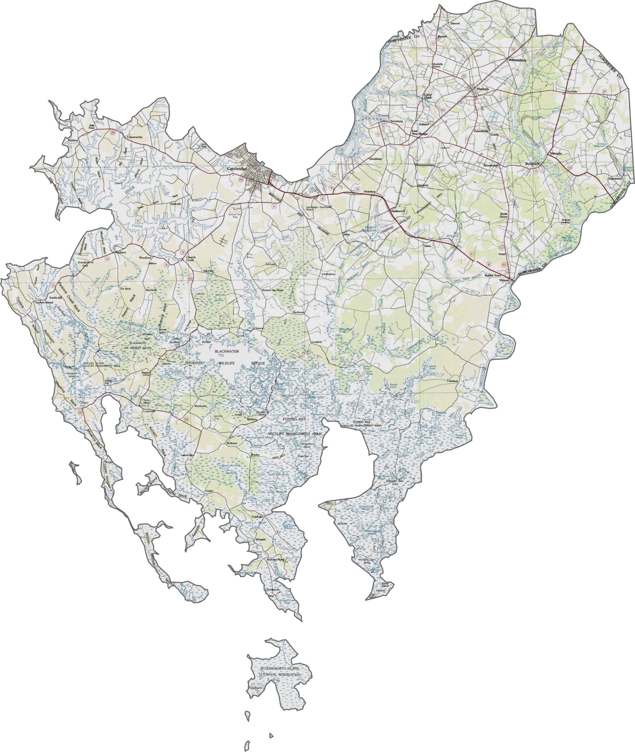
Dorchester County has one of the lowest average elevations in Maryland, with large areas lying only slightly above sea level. The terrain is predominantly flat, with extensive tidal marshes shaping the landscape. The Blackwater National Wildlife Refuge covers a significant portion of the central county.
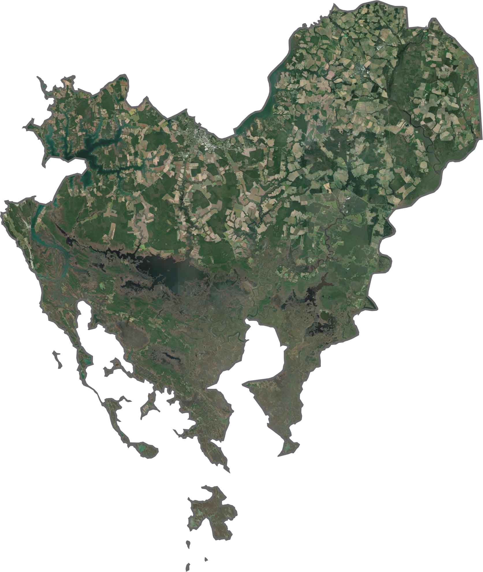
Our Dorchester County satellite map shows extensive water and wetlands across the southern portion, while broad agricultural fields dominate much of the northern section. Cambridge stands out as the county’s primary urban center along the Choptank River.
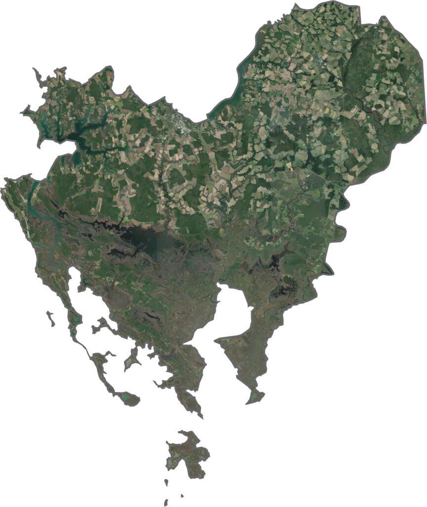
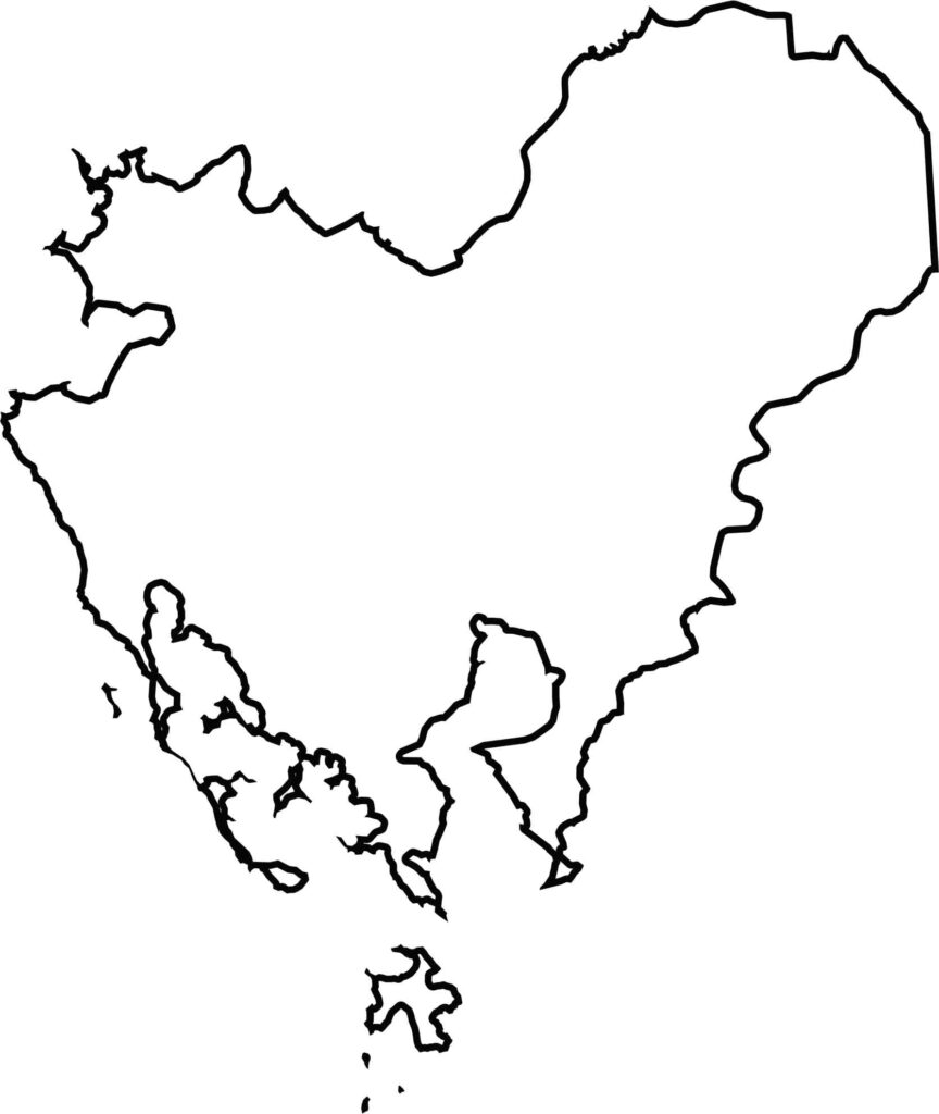
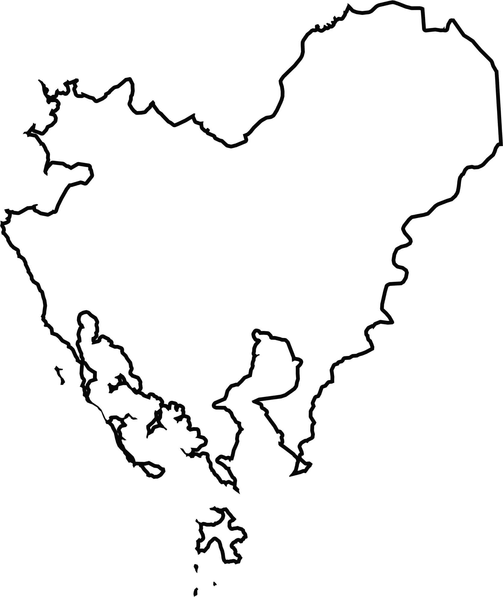
Dorchester County has one of the most irregular outlines in Maryland, largely because of its extensive waterways and coastal landscape. The Choptank River forms much of the northern boundary, while the Chesapeake Bay borders the south. Its jagged shoreline creates numerous peninsulas and islands throughout the county.







With 23 counties and Baltimore City, Maryland offers a diverse mix of cities, small towns, rural communities, and scenic outdoor landscapes. From the Chesapeake Bay and coastal areas to historic towns and mountain regions, every part of the state has its own character. Explore our detailed Maryland county maps to learn more about the state’s counties, cities, roads, boundaries, and geographic features.