
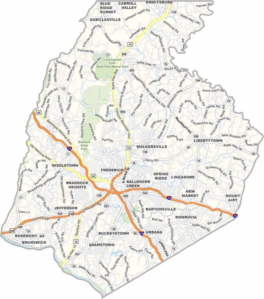
Frederick County is located in western Maryland, about an hour from both Baltimore and Washington, D.C. The Appalachian Mountains provide a striking backdrop, shaping much of the county’s scenic landscape.
Frederick, the county seat, is known for its historic downtown, featuring brick-lined streets, local shops, and distinctive architecture. Civil War history is also a major attraction, with battlefields, museums, and historic sites drawing visitors interested in the region’s past.
Frederick County also offers plenty of opportunities to enjoy the outdoors, including hiking trails in Catoctin Mountain Park. The county is also notable as the final resting place of Francis Scott Key, the author of “The Star-Spangled Banner.”
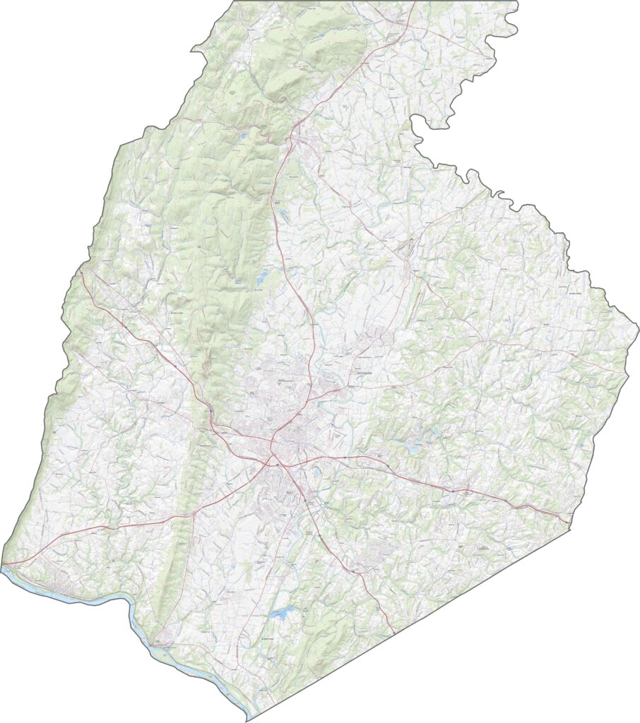
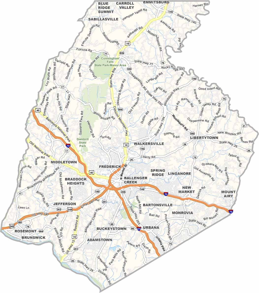
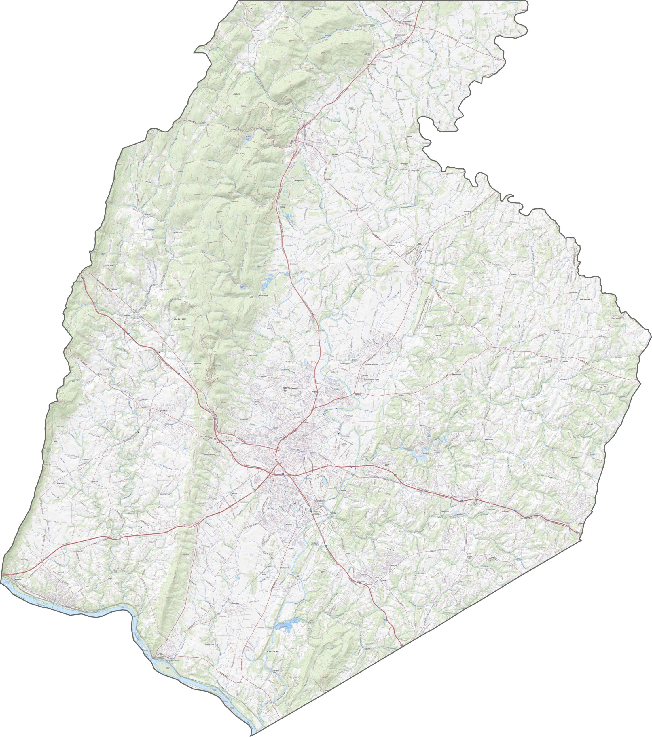
I-70 runs east-west across Frederick County as a major transportation corridor, while I-270 branches south toward Washington, D.C. The mountainous terrain creates dramatic curves along routes such as US-15, with several elevated sections offering broad views of the surrounding landscape. Use our dynamic zoom feature below to explore important roads and geographic details more closely.
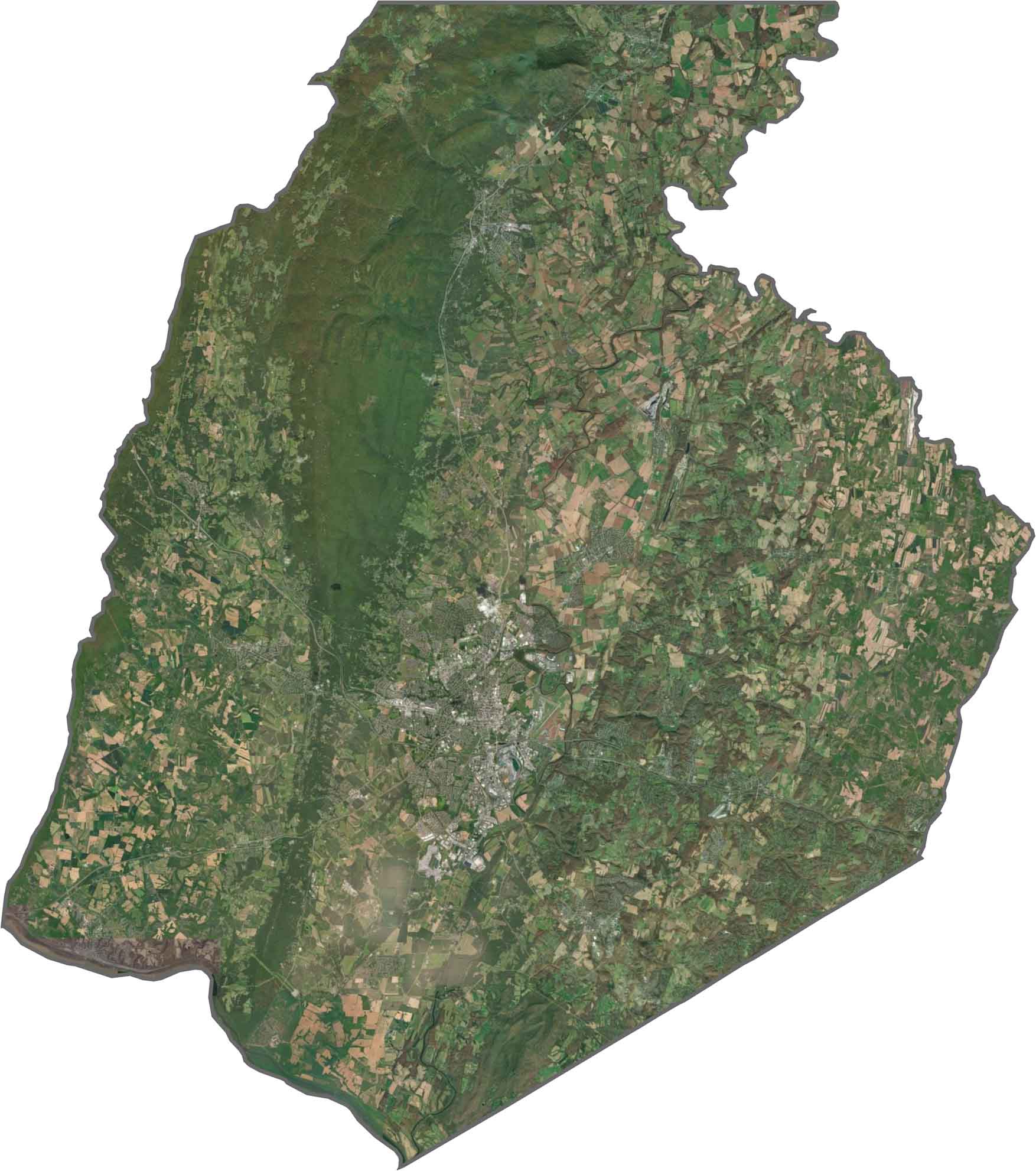
Our Frederick County satellite map shows extensive agricultural fields across the northeast, gradually giving way to dense forests covering the surrounding mountains. Frederick city spreads outward from its center in a radial pattern, while the surrounding ridges help shape and limit its development.
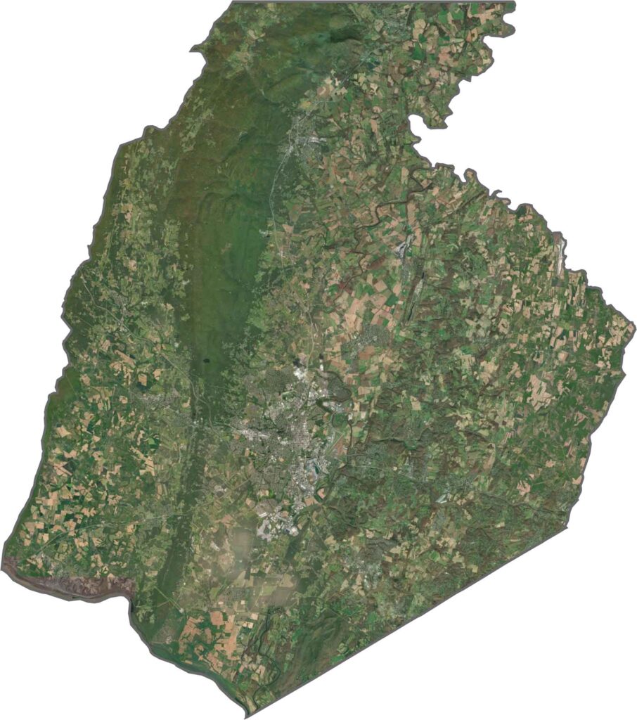
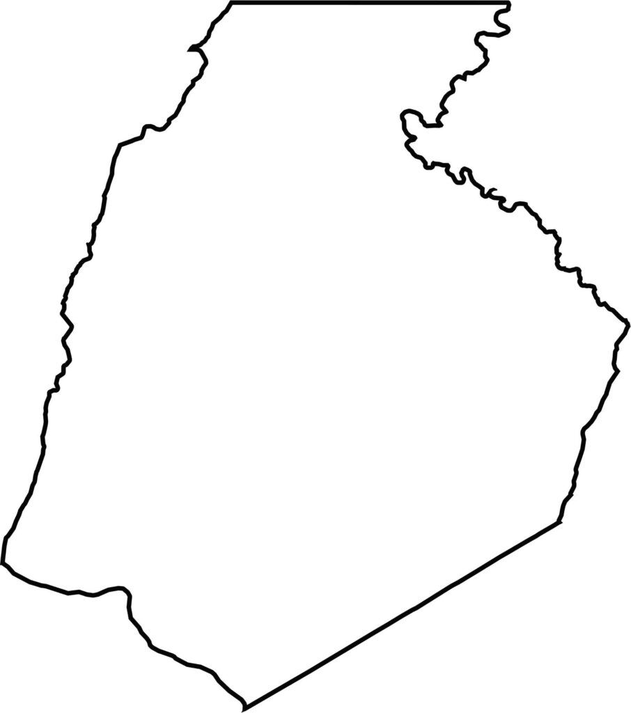
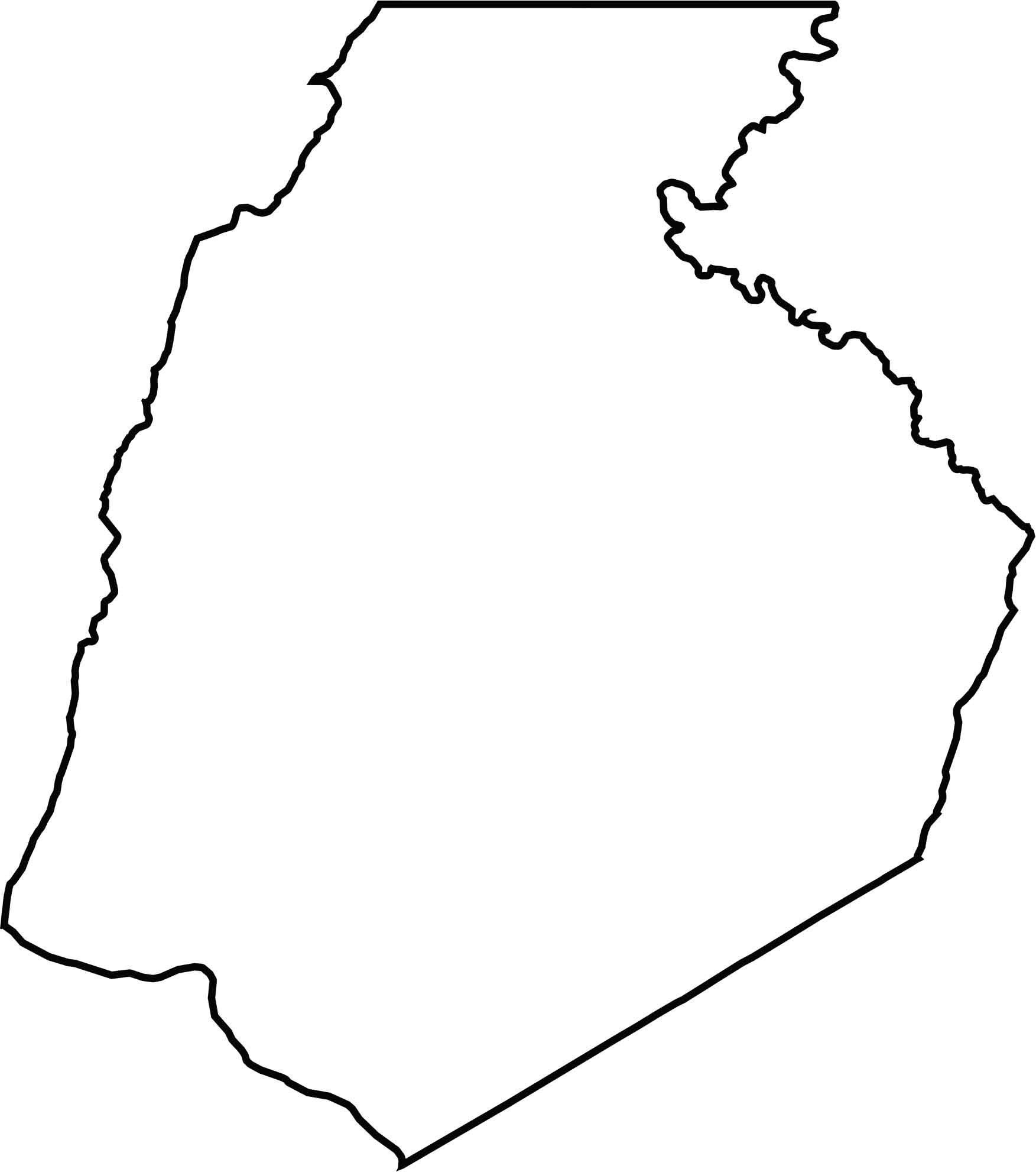
Frederick County has a generally oval-shaped outline, with the Potomac River winding along its southern edge and separating Maryland from Virginia. Pennsylvania forms the county’s entire northern boundary.







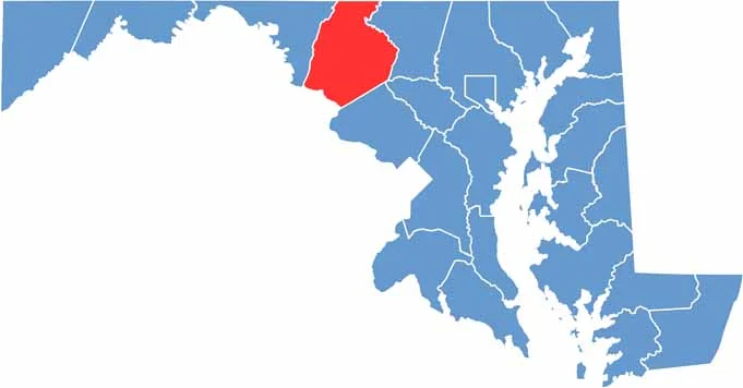
With 23 counties and Baltimore City, Maryland offers a diverse mix of cities, small towns, rural communities, and scenic outdoor landscapes. From the Chesapeake Bay and coastal areas to historic towns and mountain regions, every part of the state has its own character. Explore our detailed Maryland county maps to learn more about the state’s counties, cities, roads, boundaries, and geographic features.