
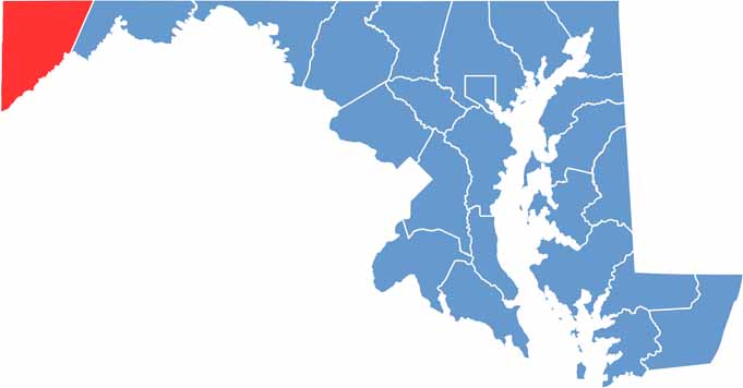
Garrett County, located in the westernmost corner of Maryland, is a scenic destination for nature lovers, with a landscape of rolling hills, dense forests, and sparkling lakes.
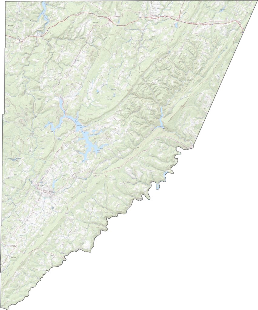
The county features some of Maryland’s highest elevations, including Hoye-Crest, which sits atop Backbone Mountain and offers impressive views of the surrounding terrain.
Mild summers make Garrett County ideal for hiking, fishing, and camping. Deep Creek Lake, the largest inland body of water in Maryland, is a popular destination where visitors can relax, enjoy the scenery, and spend time along the water.
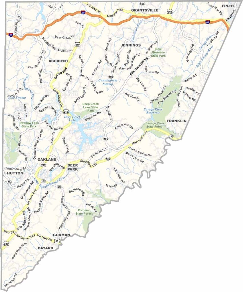
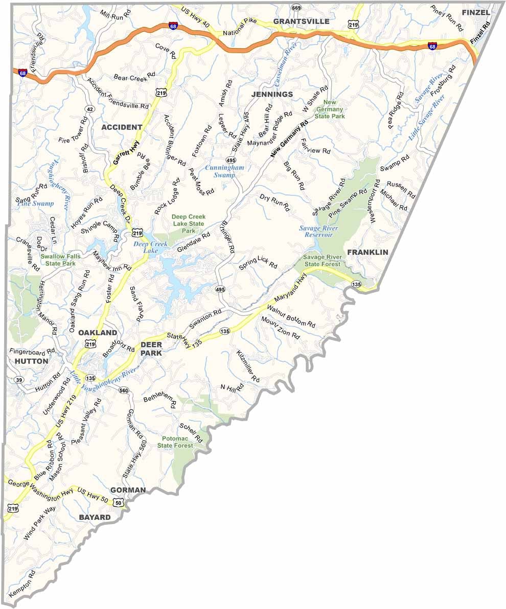
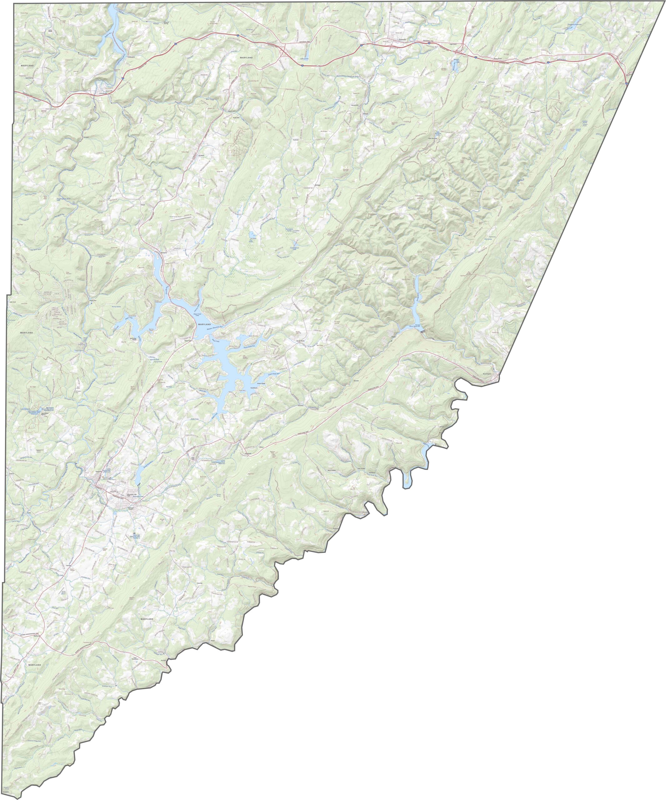
Use our detailed Garrett County road map and zoom tool to explore specific roads and geographic features more closely. I-68 is one of the county’s major highways, climbing through the rugged mountain terrain alongside a network of other roads connecting communities across the region.
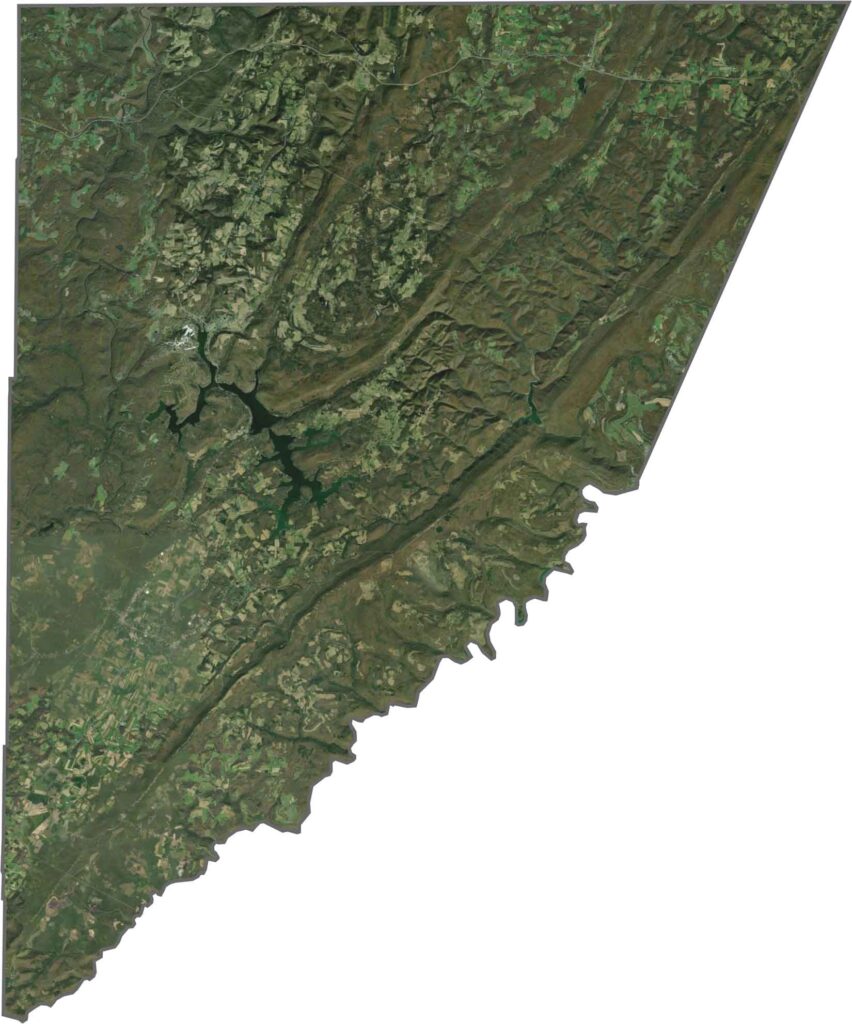
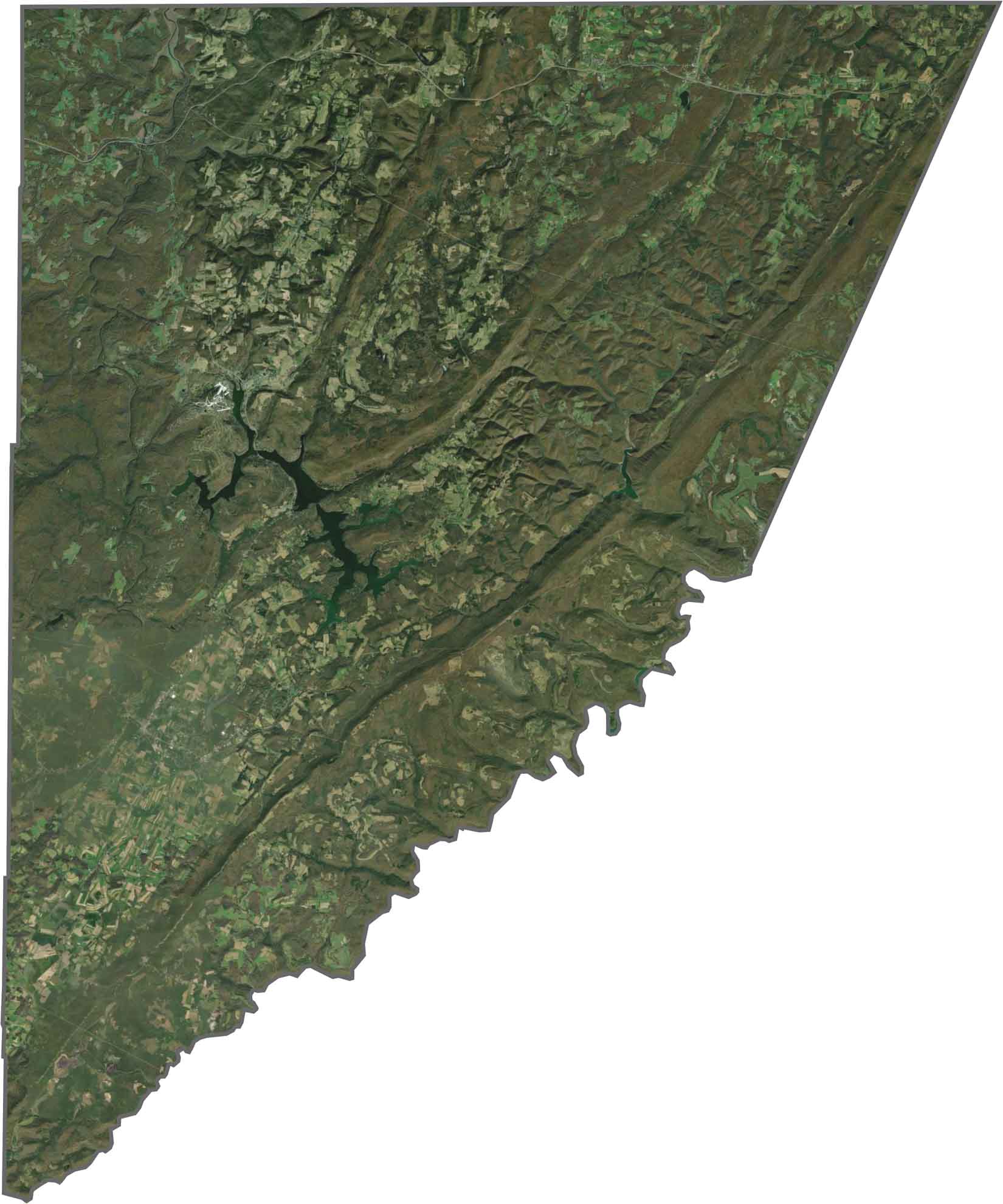
Our Garrett County satellite map shows a landscape dominated by dense forests, with the jagged shoreline of Deep Creek Lake standing out prominently. Small towns are nestled within the valleys, while their organized road networks create a striking contrast with the surrounding natural terrain.
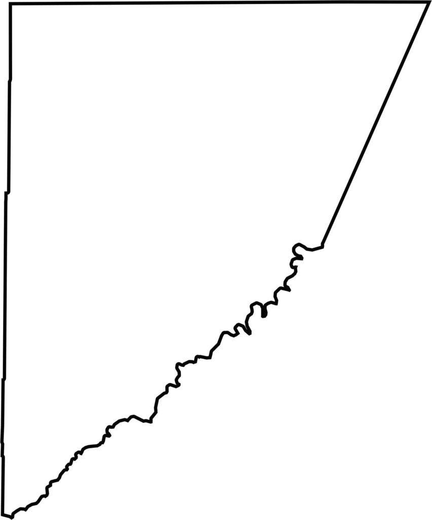
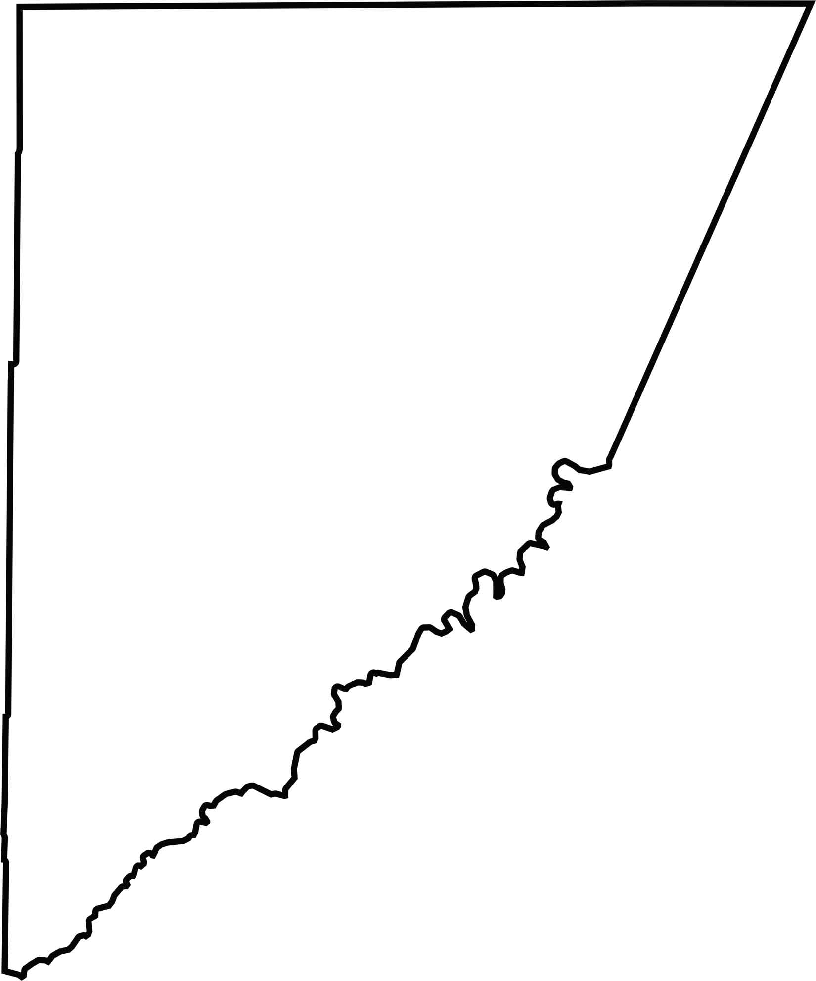
West Virginia borders the western side of Garrett County, creating an irregular state boundary. The Mason-Dixon Line forms much of the northern boundary, while the Potomac River begins along the county’s southern edge.







With 23 counties and Baltimore City, Maryland offers a diverse mix of cities, small towns, rural communities, and scenic outdoor landscapes. From the Chesapeake Bay and coastal areas to historic towns and mountain regions, every part of the state has its own character. Explore our detailed Maryland county maps to learn more about the state’s counties, cities, roads, boundaries, and geographic features.