
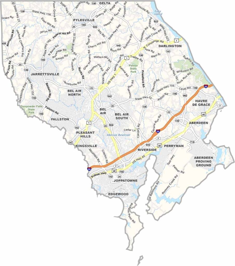
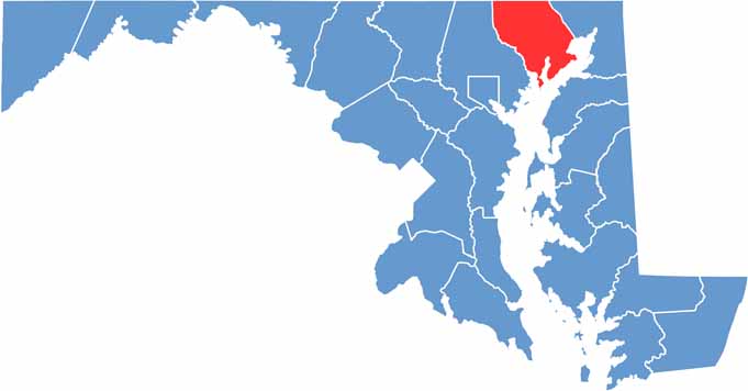
Harford County sits in the northeastern corner of Maryland, bordering Pennsylvania to the north. The county offers a varied landscape, combining busy towns, quiet farmland, and scenic waterfront areas along its waterways.
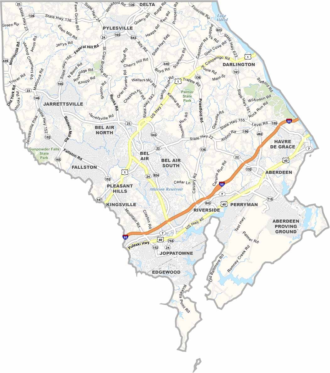
Bel Air, the county seat, serves as the center of local activity and community life. Historic buildings stand alongside newer developments, creating a blend of historic character and modern growth throughout the area.
The county has deep ties to the American Revolution, giving history enthusiasts plenty to explore. On weekends, Susquehanna State Park attracts locals and visitors with opportunities for hiking, fishing, and enjoying the outdoors.
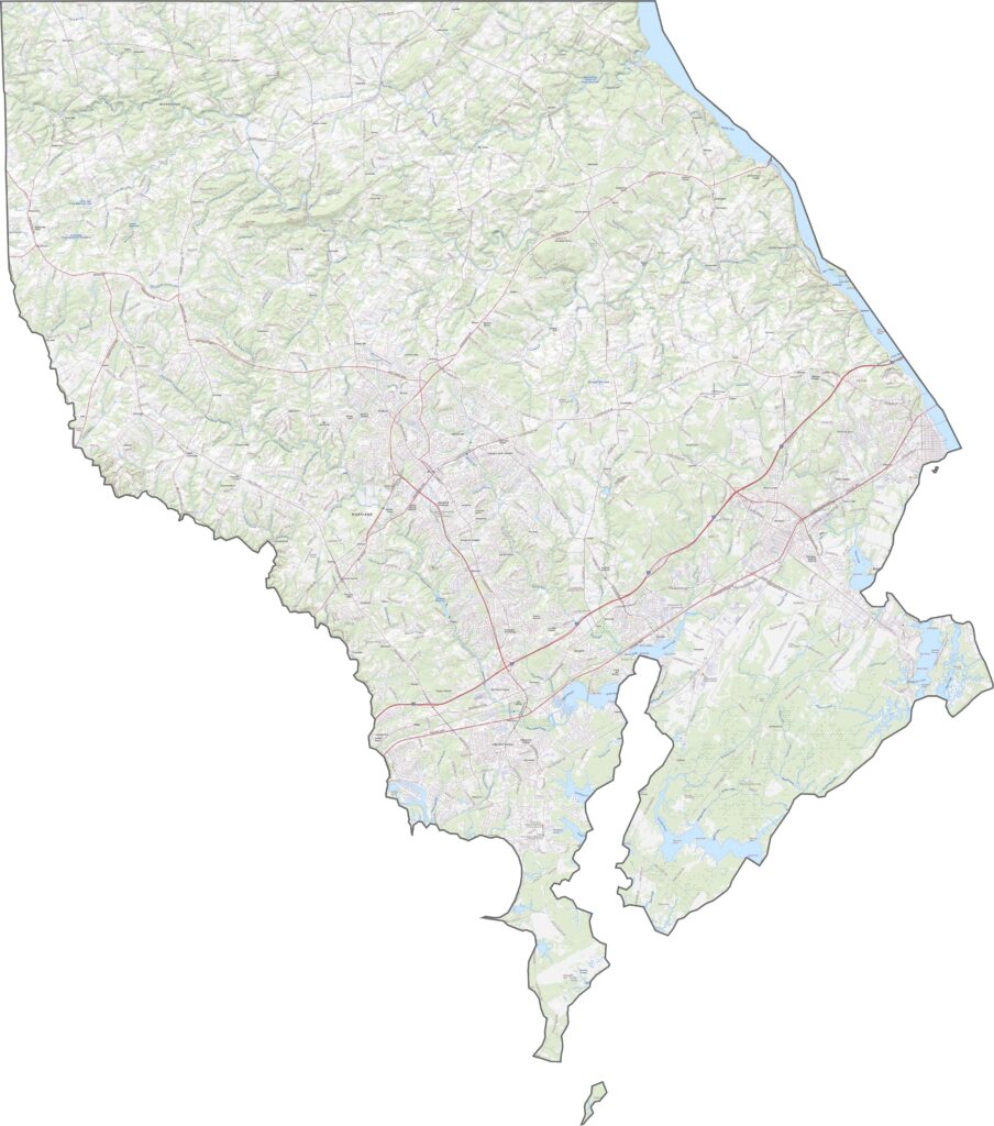
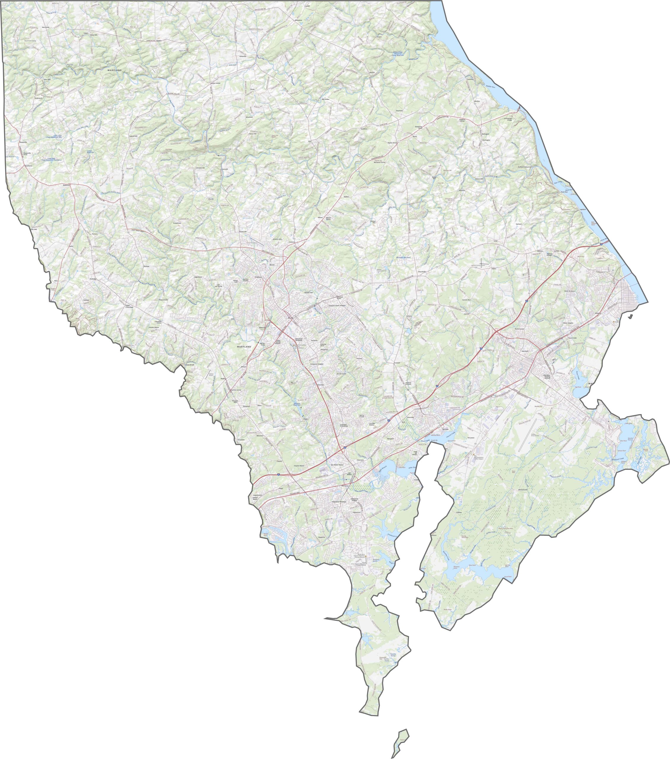
I-95 is the main highway serving Harford County, running along its eastern edge, while Route 24 turns inland toward Bel Air. Many local roads follow historic colonial-era routes, with some still marked by old stone mile markers. Explore the county’s transportation network and important road details more closely with our interactive zoom feature.
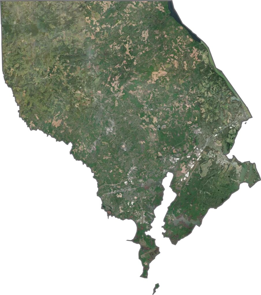
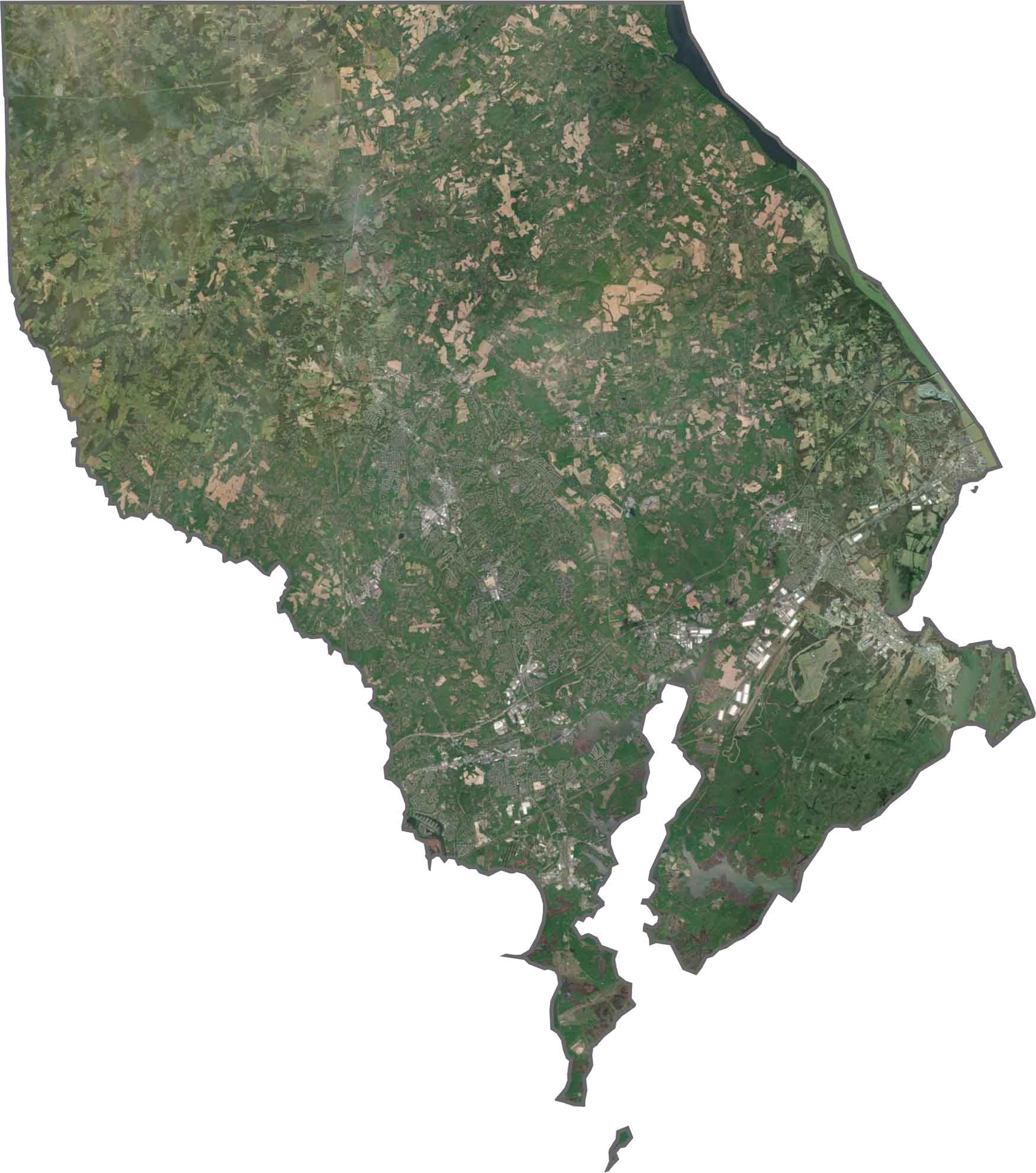
Harford County features a varied landscape of suburbs, farmland, and forests, with the broad mouth of the Susquehanna River dominating the southern portion. Aberdeen Proving Ground stands out along the bay as a large, distinct area within the satellite landscape.
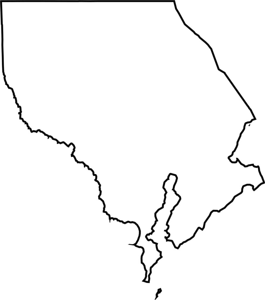
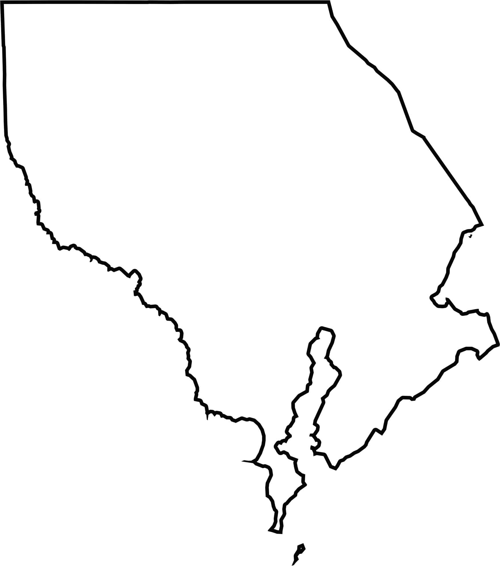
The Susquehanna River forms part of the boundary with Cecil County to the east, while Pennsylvania provides a relatively straight northern boundary. To the southwest, a narrow connection links Harford County with Baltimore County, giving the county its distinctive shape.







With 23 counties and Baltimore City, Maryland offers a diverse mix of cities, small towns, rural communities, and scenic outdoor landscapes. From the Chesapeake Bay and coastal areas to historic towns and mountain regions, every part of the state has its own character. Explore our detailed Maryland county maps to learn more about the state’s counties, cities, roads, boundaries, and geographic features.