
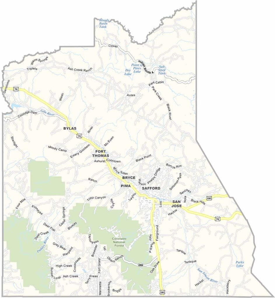
Graham County is located in southeast Arizona and has a population of about 40,000 people. Safford serves as the county seat and is also the largest town. Part of the San Carlos Apache Reservation is located within the county.
Mount Graham, the highest peak in southern Arizona, is located in the county. The Mount Graham International Observatory can also be found there and is an important scientific research site.
The Gila River flows through Graham County, making outdoor activities such as hiking and hunting popular. Agriculture also plays an important role in the local economy, especially cotton farming and cattle ranching.
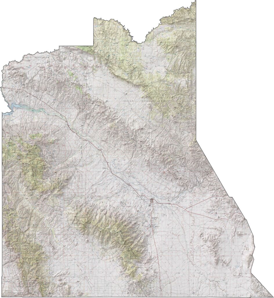
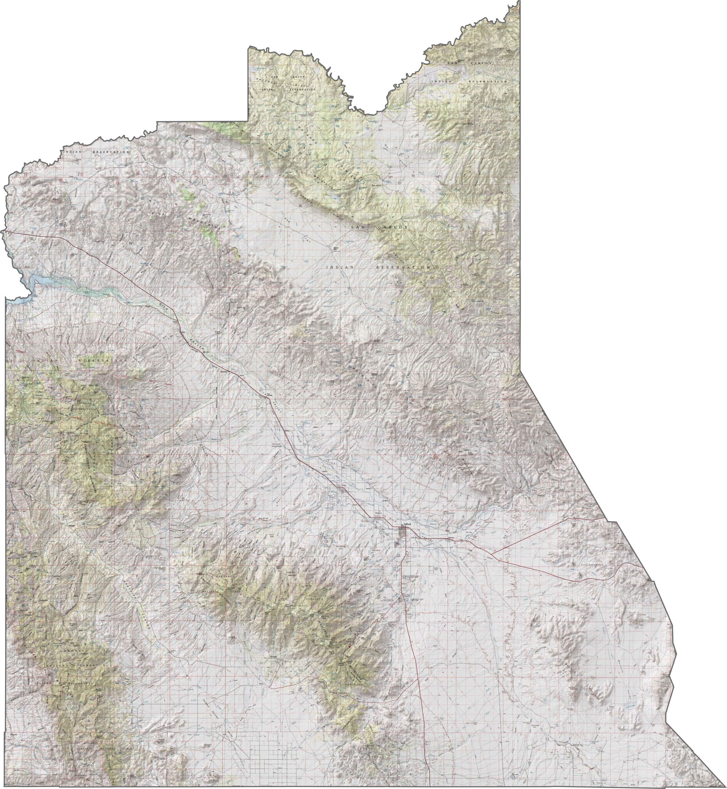
The topographic map of Graham County highlights the contrast between the flatlands of the Gila Valley and towering Mount Graham. You can follow the elevation lines with our zoom tool as the terrain rises from the desert floor to pine-covered peaks.
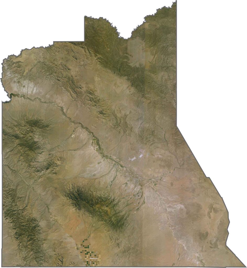
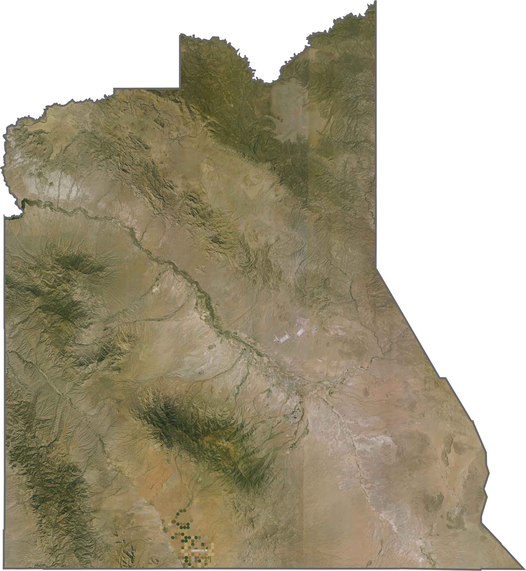
Looking down at Graham County, you’ll notice the dramatic difference between Mount Graham and the surrounding desert plains. The satellite imagery captures both agricultural areas along the Gila River and the region’s rugged mountain terrain.
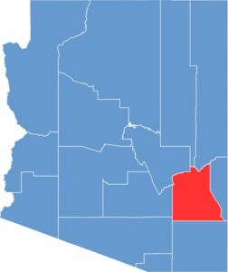
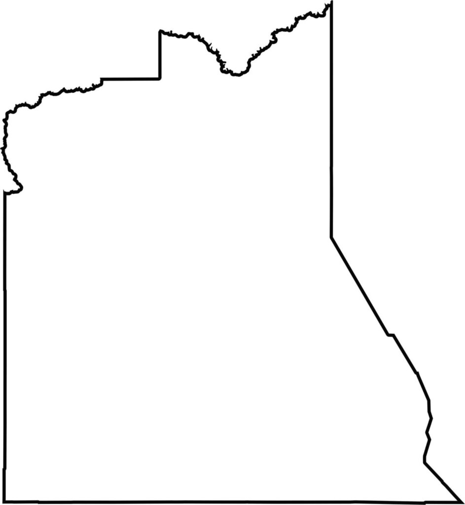
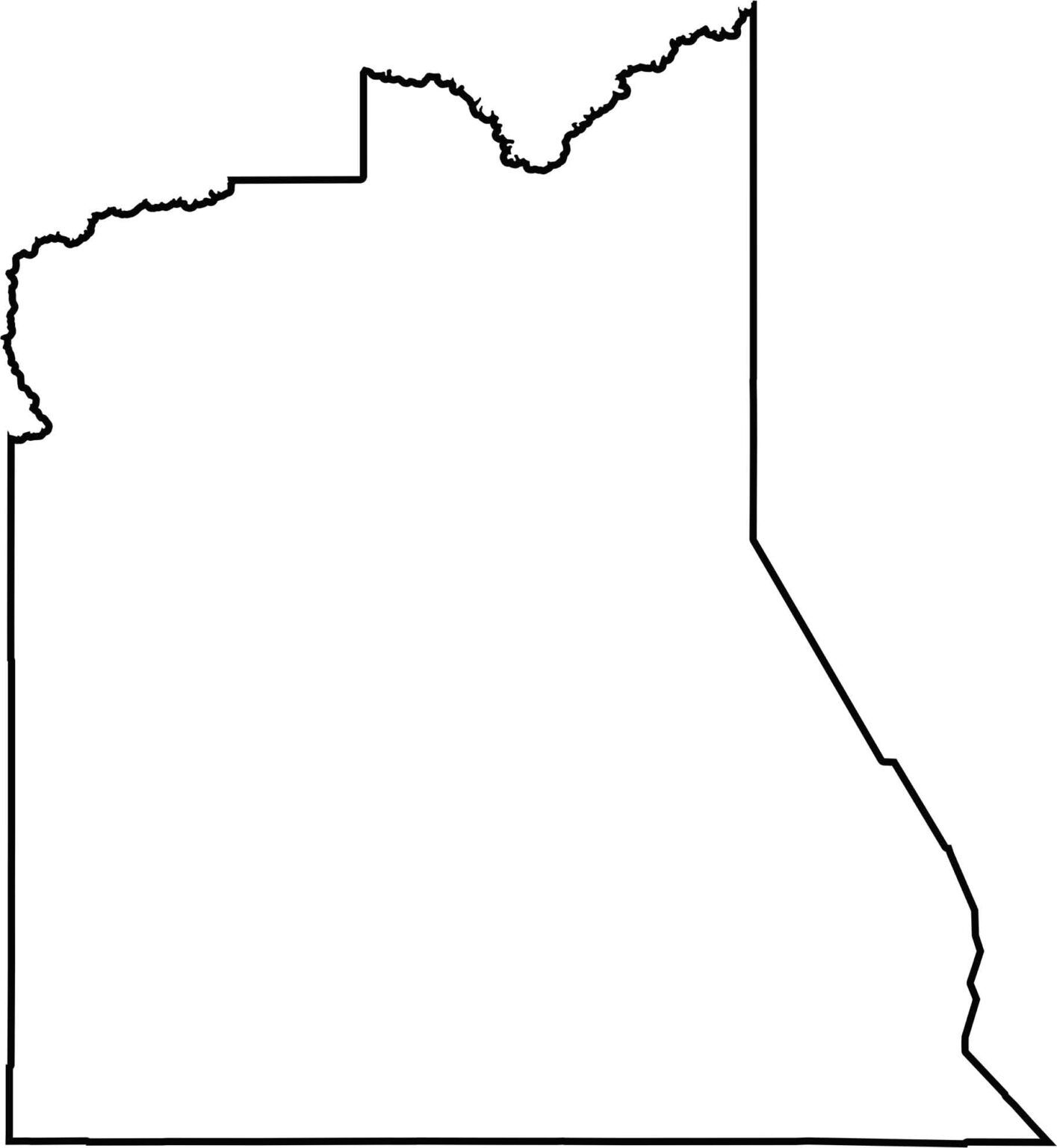
This blank map of Graham County reveals its elongated north-to-south shape in eastern Arizona. The outline clearly highlights its narrow form, stretching from mountainous terrain to broad desert plains.
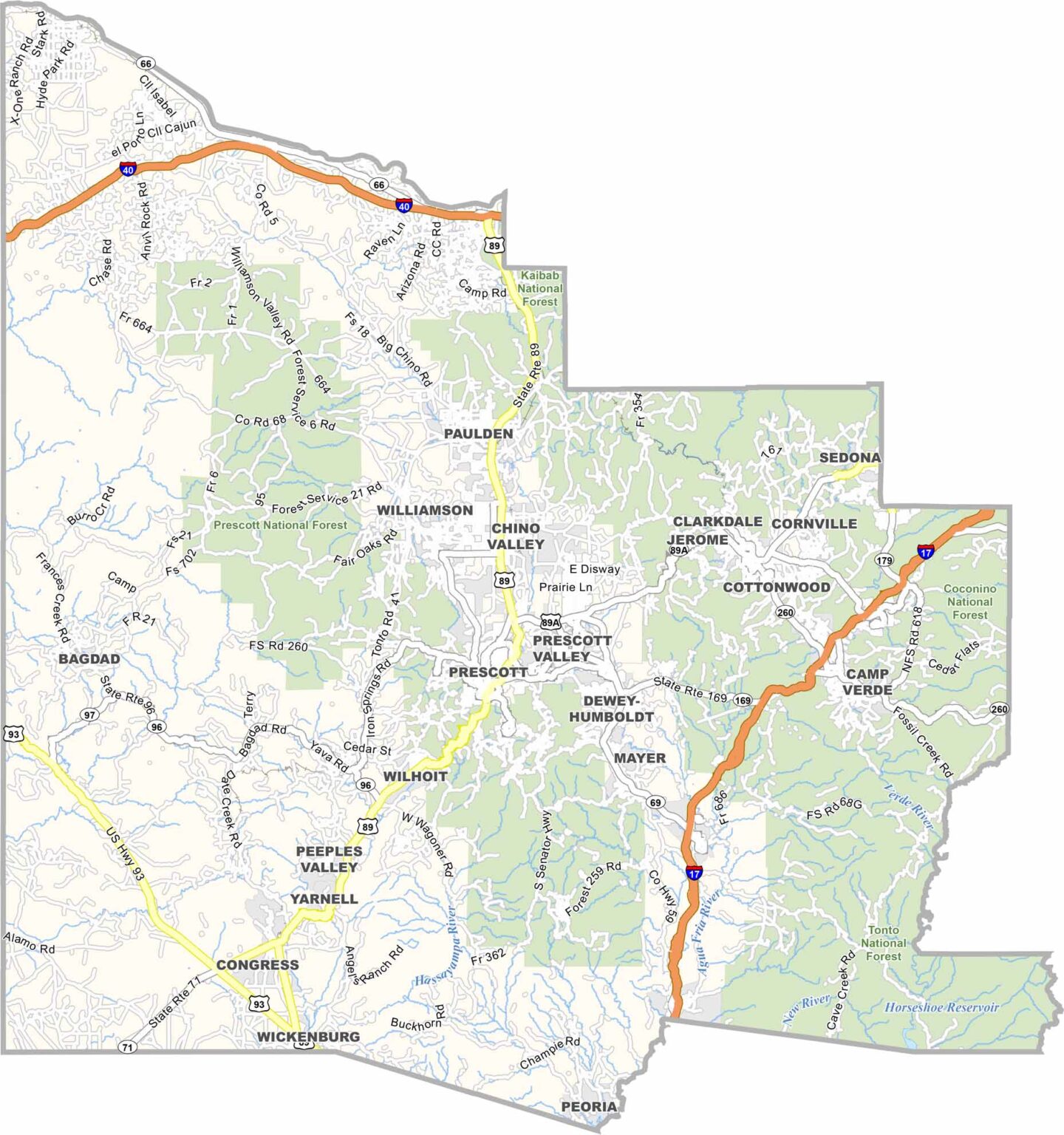
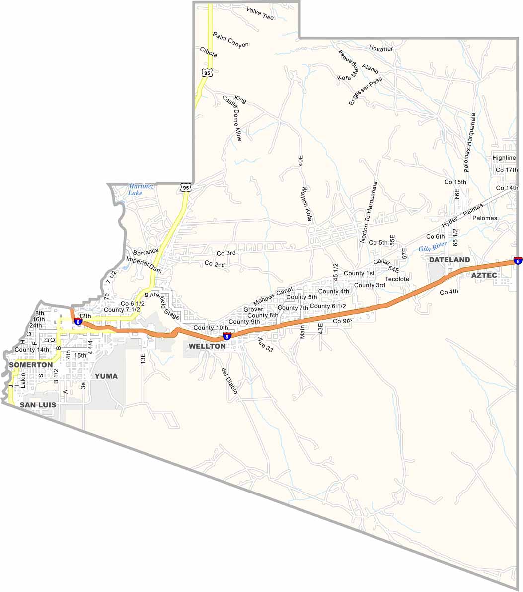
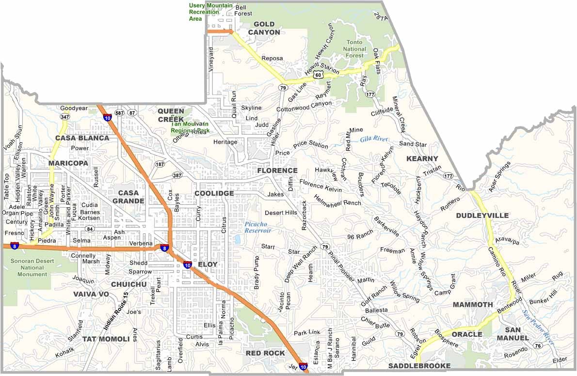
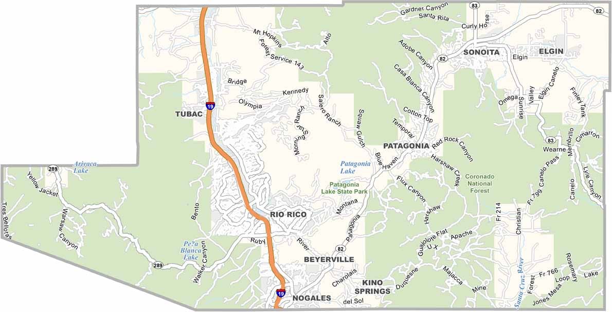
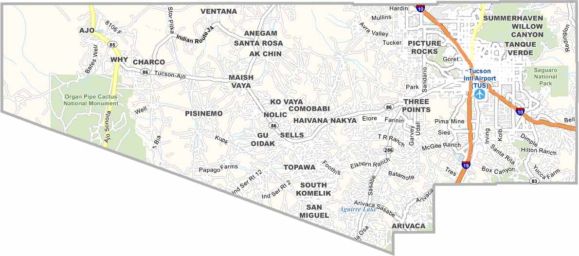
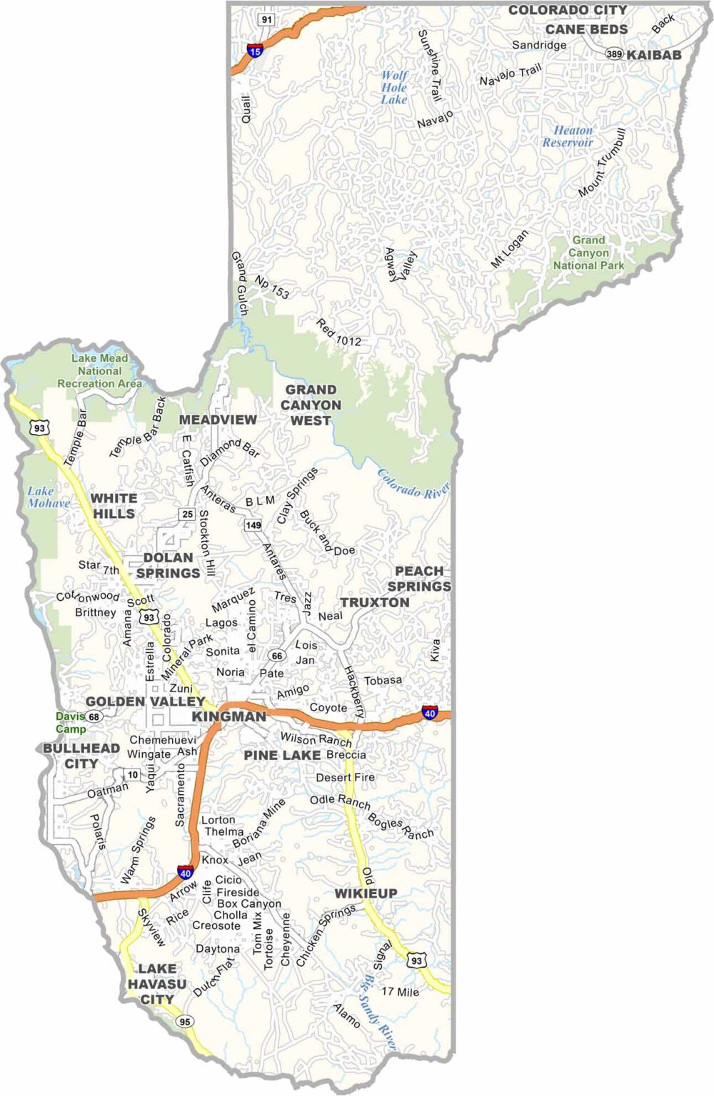
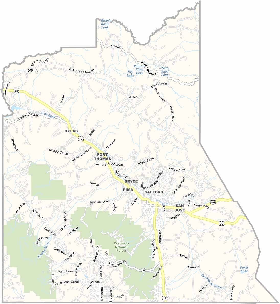
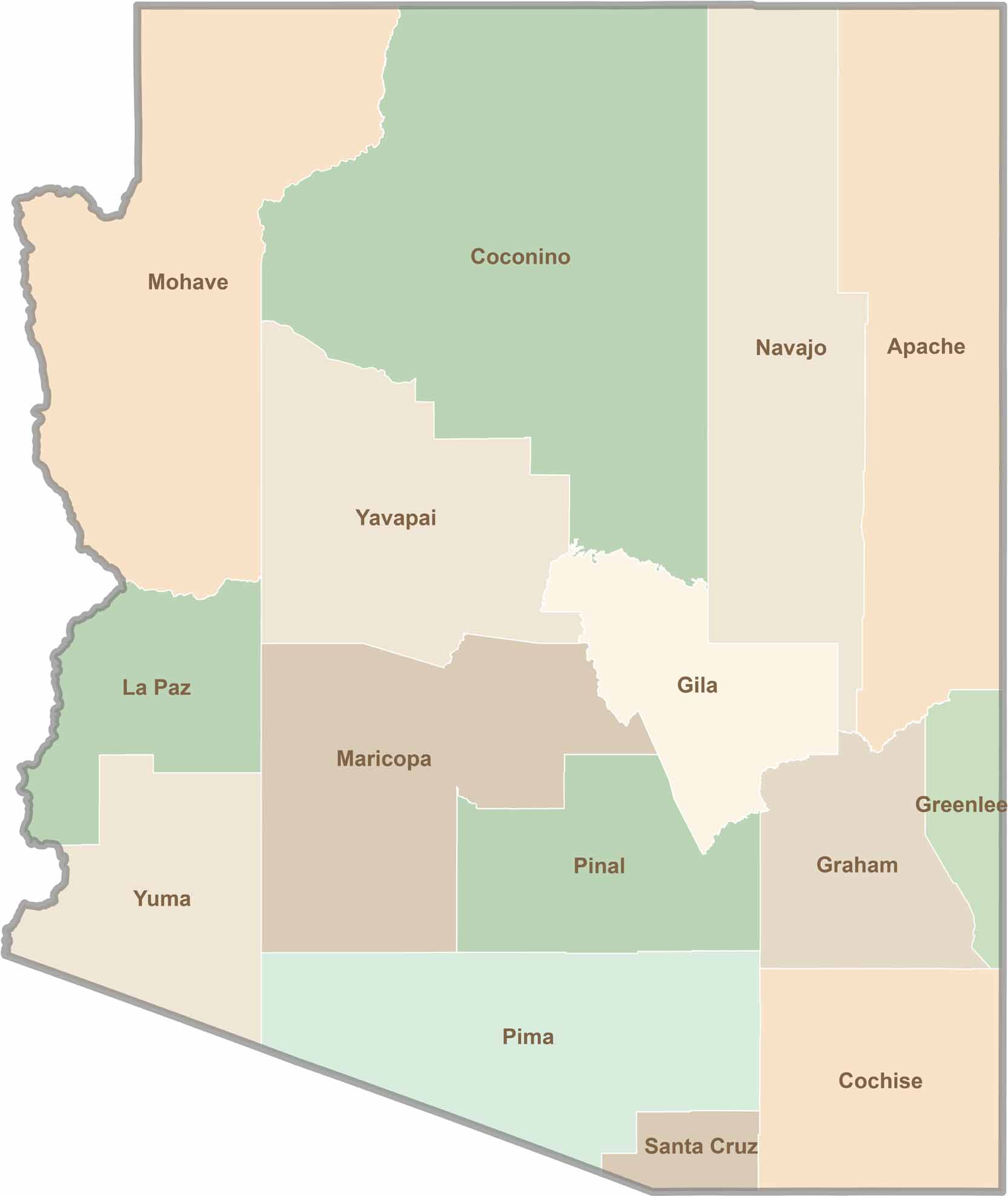
Explore all 15 counties in Arizona with our clear and colorful county map. Discover major cities, highways, landmarks, and geographic features across the Grand Canyon State. Whether you're planning an Arizona road trip, studying the state's geography, or exploring its diverse landscapes, our Arizona county map is a helpful resource for travelers, students, and geography enthusiasts.