
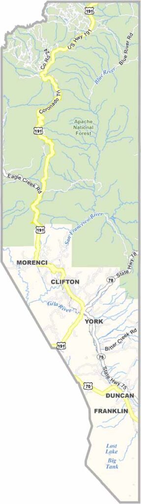
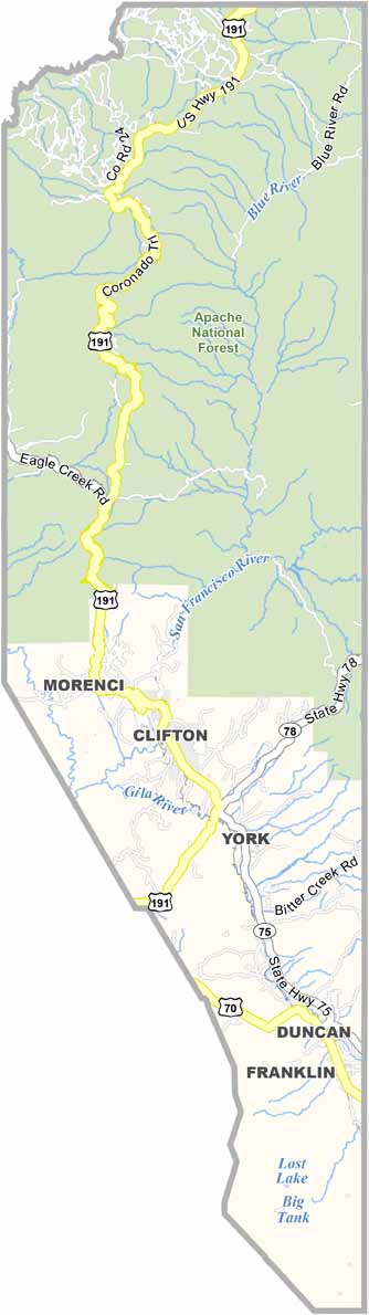
Greenlee County is Arizona’s least populous county, with a population of only about 10,000 people. It is located in the eastern part of the state along the border with New Mexico.
Clifton serves as the county seat, while Morenci is home to one of the largest copper mines in North America. The mine is a major employer and plays a significant role in the county’s economy.
The landscape is rugged and features mountains and canyons. The Blue River and San Francisco River offer good fishing opportunities, while hunting is also a popular activity in the area.
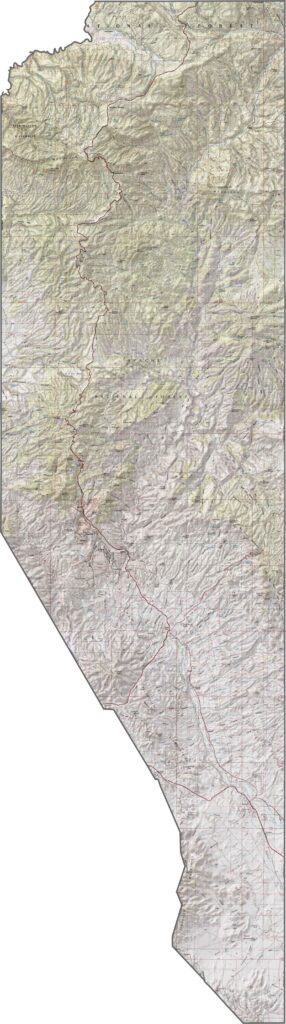
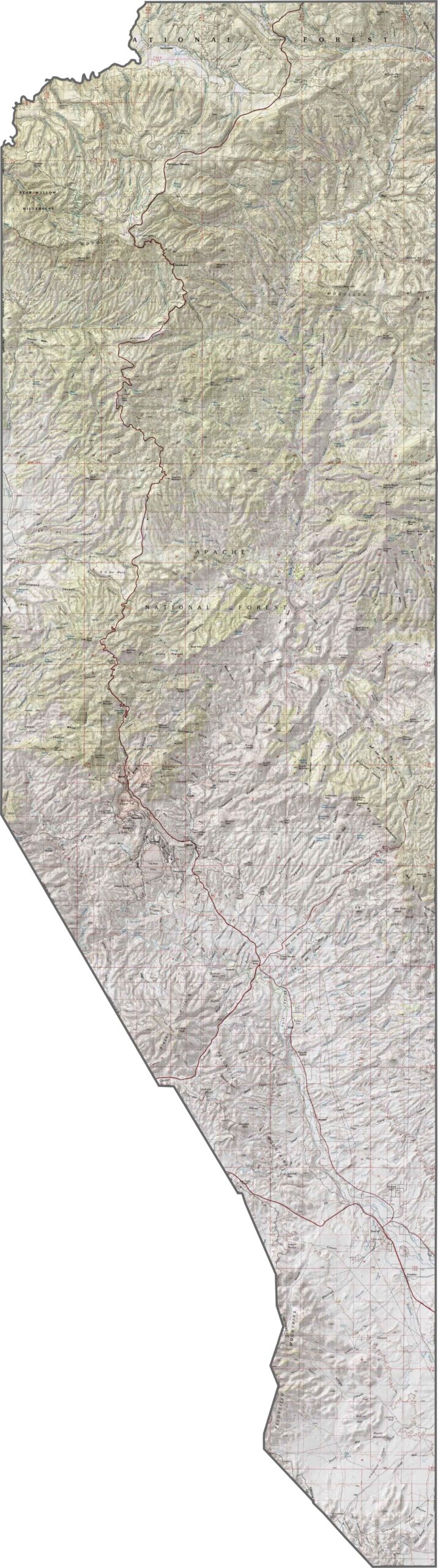
This topographic map of Greenlee County reveals dramatic elevation changes, ranging from desert lowlands to the rugged Blue Range Mountains. The dense contour lines highlight some of Arizona’s most remote and challenging terrain.
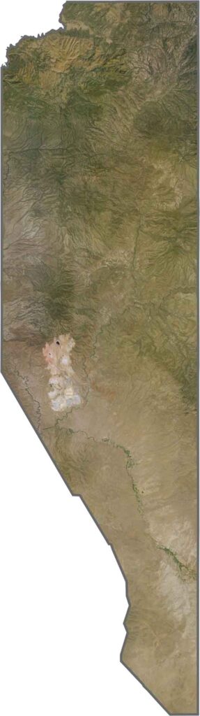
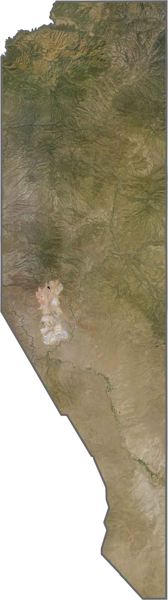
This satellite view of Greenlee County showcases remarkable landscape diversity within a relatively small area. You can see the terrain transition from desert scrub to alpine forests as the elevation increases.
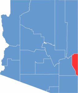
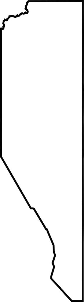
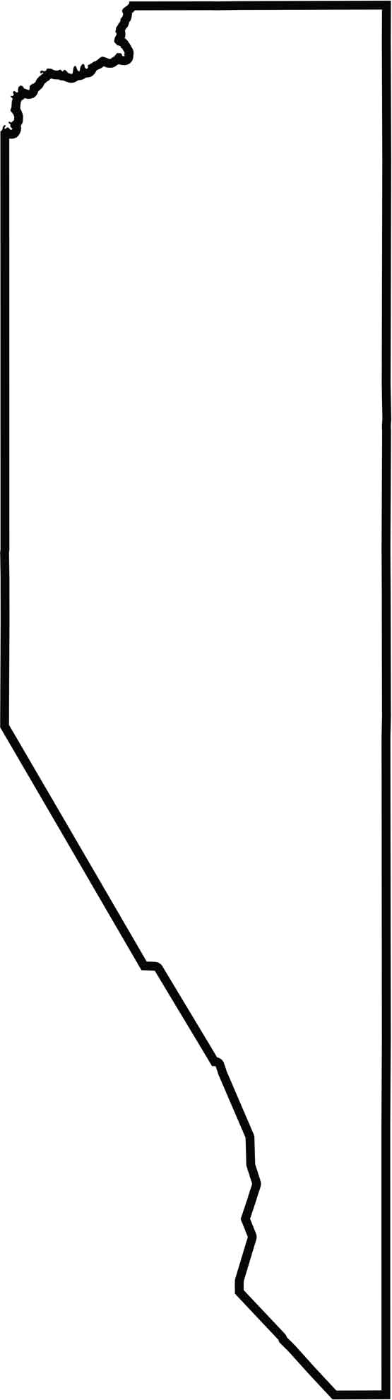
The blank map of Greenlee County highlights its distinctive narrow shape along Arizona’s eastern border. As Arizona’s smallest county by area, Greenlee County has a unique, elongated outline.
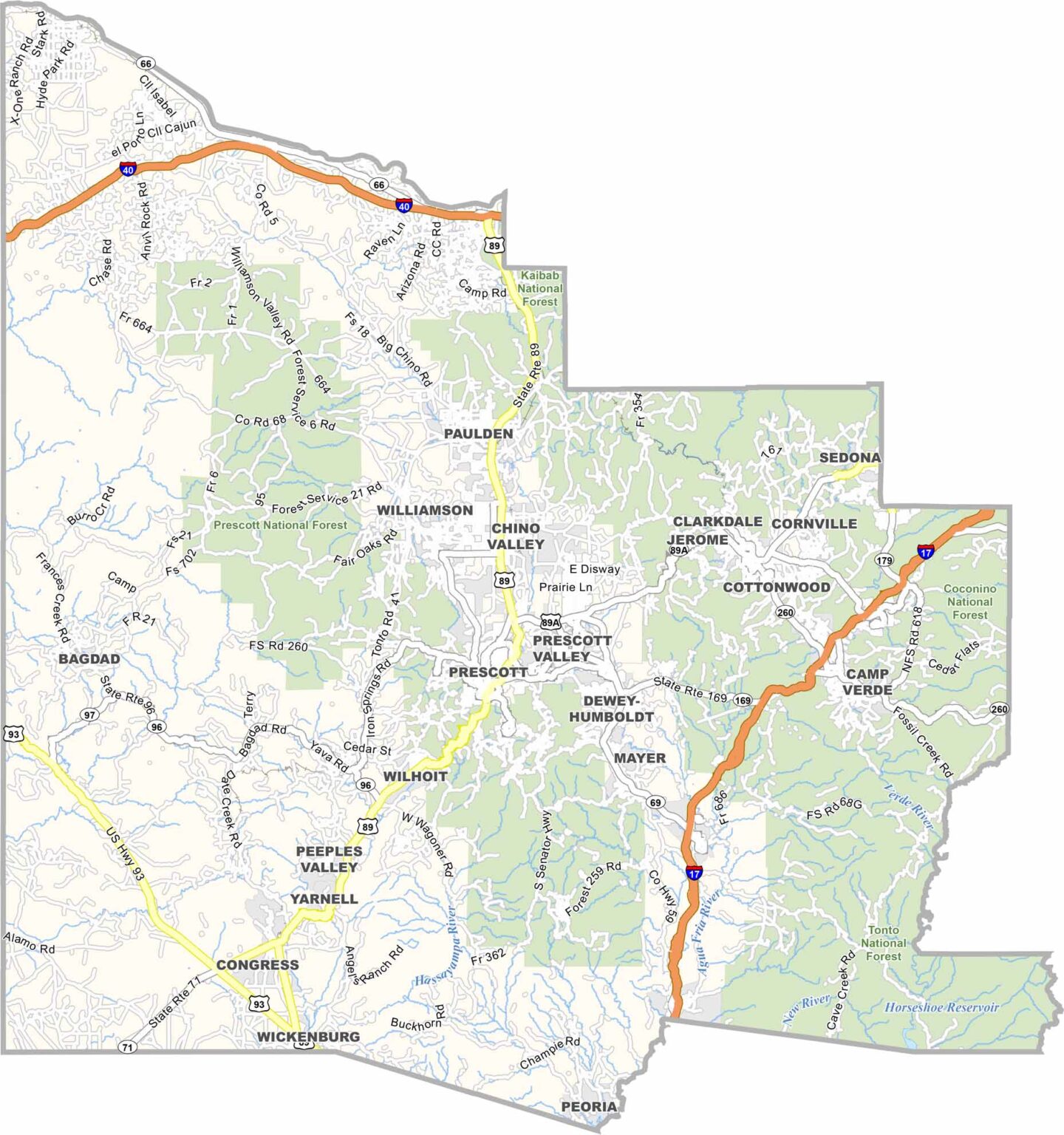
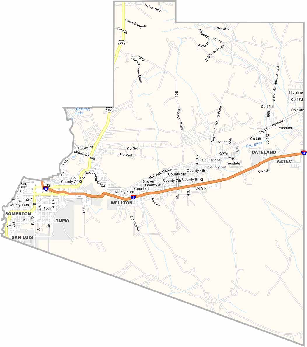
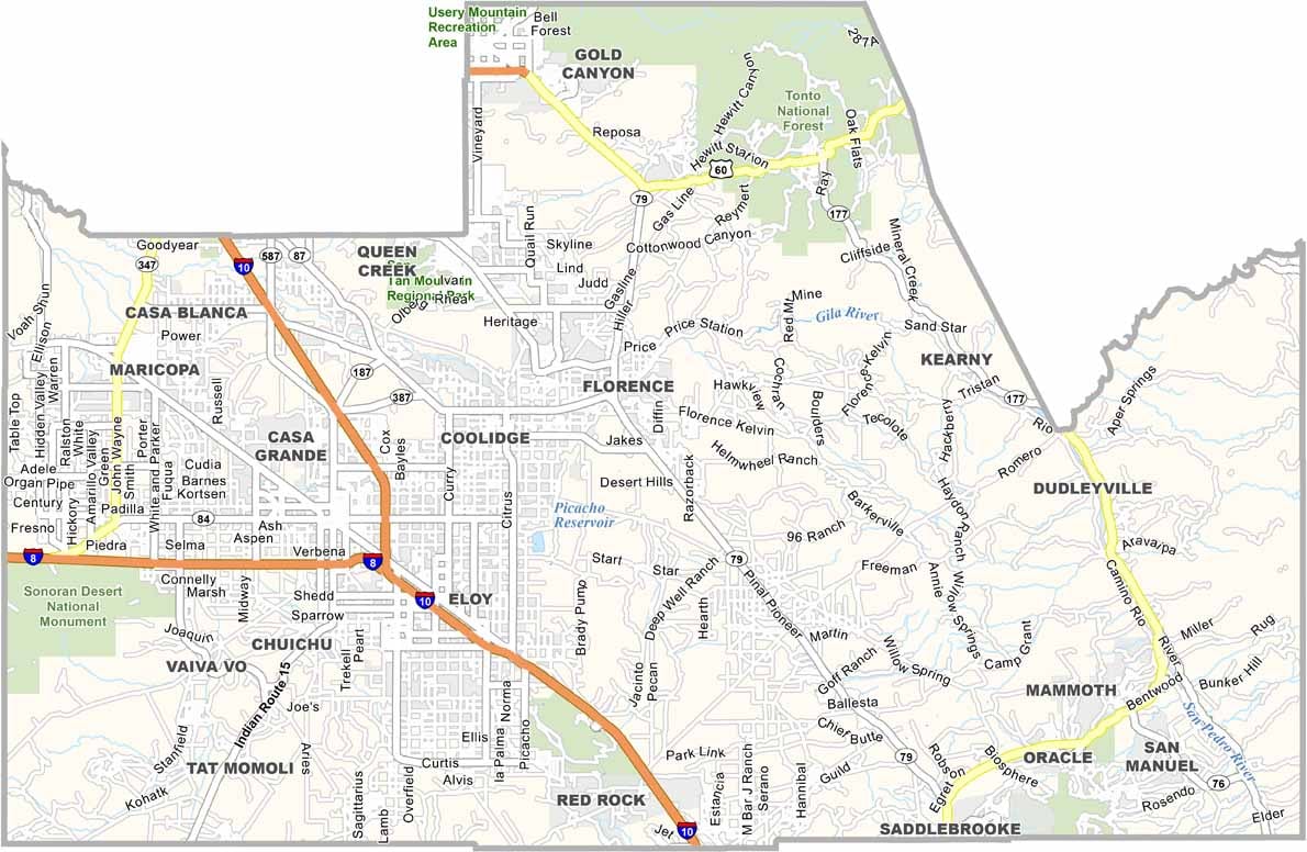
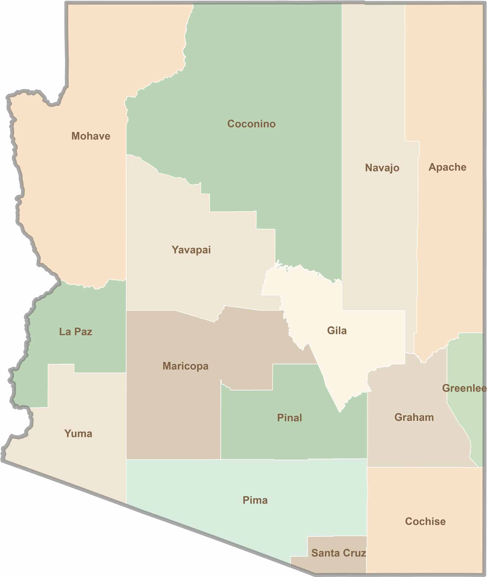
Explore all 15 counties in Arizona with our clear and colorful county map. Discover major cities, highways, landmarks, and geographic features across the Grand Canyon State. Whether you're planning an Arizona road trip, studying the state's geography, or exploring its diverse landscapes, our Arizona county map is a helpful resource for travelers, students, and geography enthusiasts.