
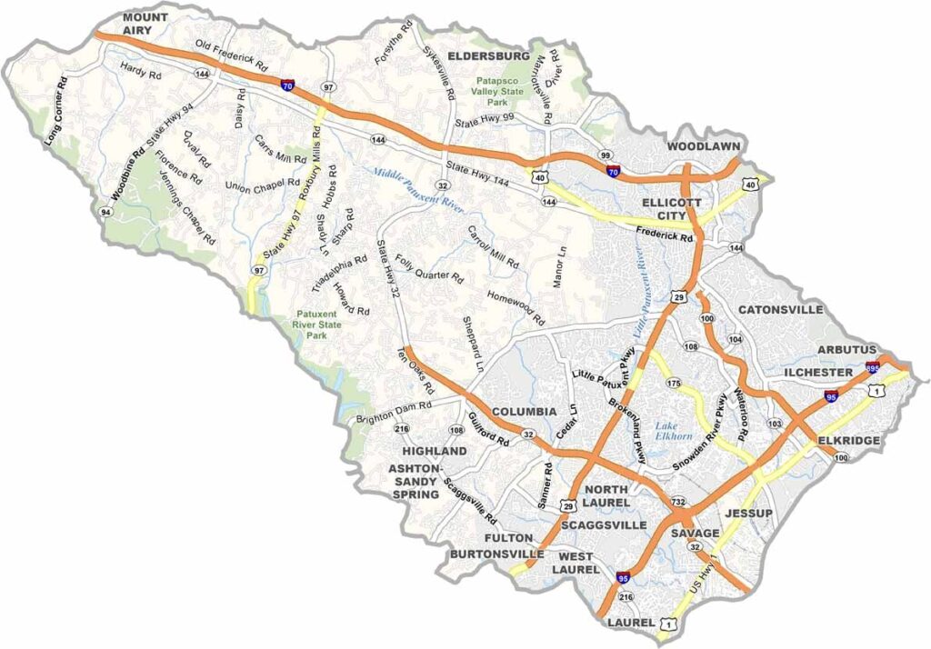
Howard County is located between Baltimore and Washington, D.C., offering a blend of suburban communities, rural landscapes, and modern amenities. Although it is not one of Maryland’s largest counties, it is widely known for its schools and well-developed communities.
Columbia is the county’s largest community and was planned and developed in the 1960s as a carefully designed suburban community. Its thoughtful layout, neighborhoods, parks, and community spaces have helped make it a distinctive part of Howard County.
From farm-to-table restaurants to international cuisine, Howard County offers a diverse dining scene. History enthusiasts can also visit the B&O Railroad Museum in Ellicott City, where historic railroad exhibits provide a fascinating glimpse into the region’s past.
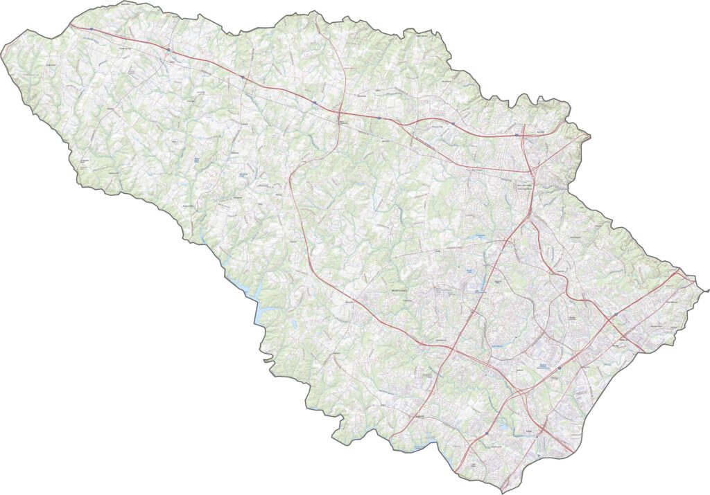
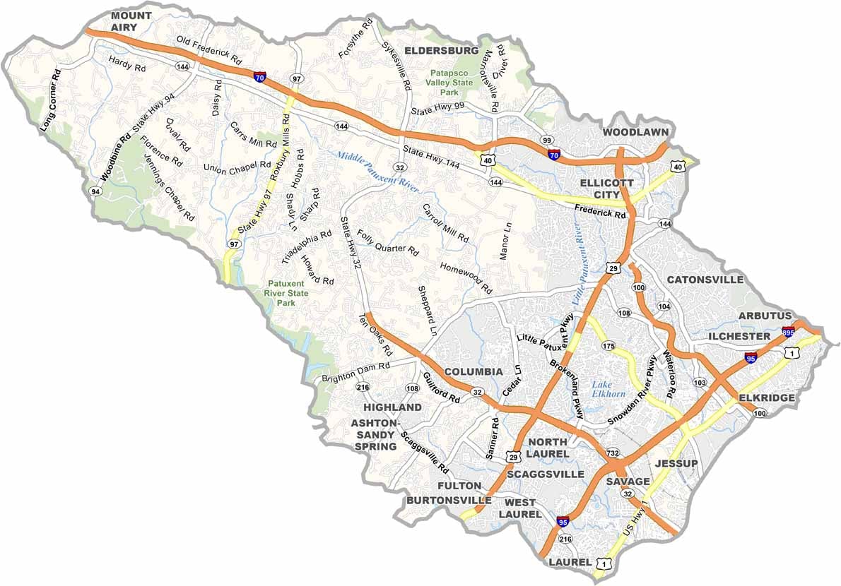
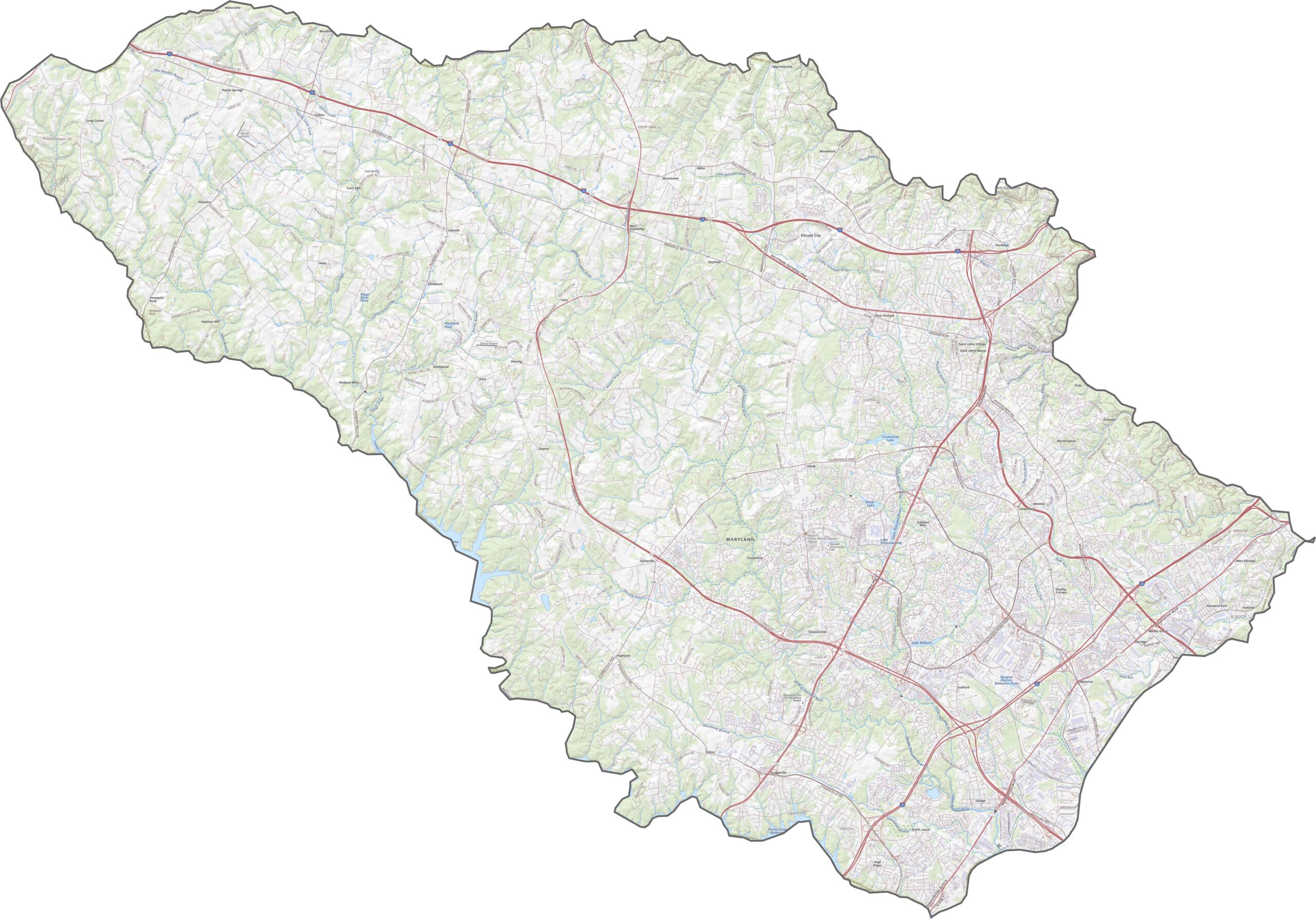
Major routes such as I-95, Route 29, and Route 100 form an important transportation network connecting Baltimore and Washington, D.C. The county is also home to Maryland’s first diverging diamond interchange at Route 175 and I-95. Secondary routes such as MD-108 wind through suburban neighborhoods and historic districts.
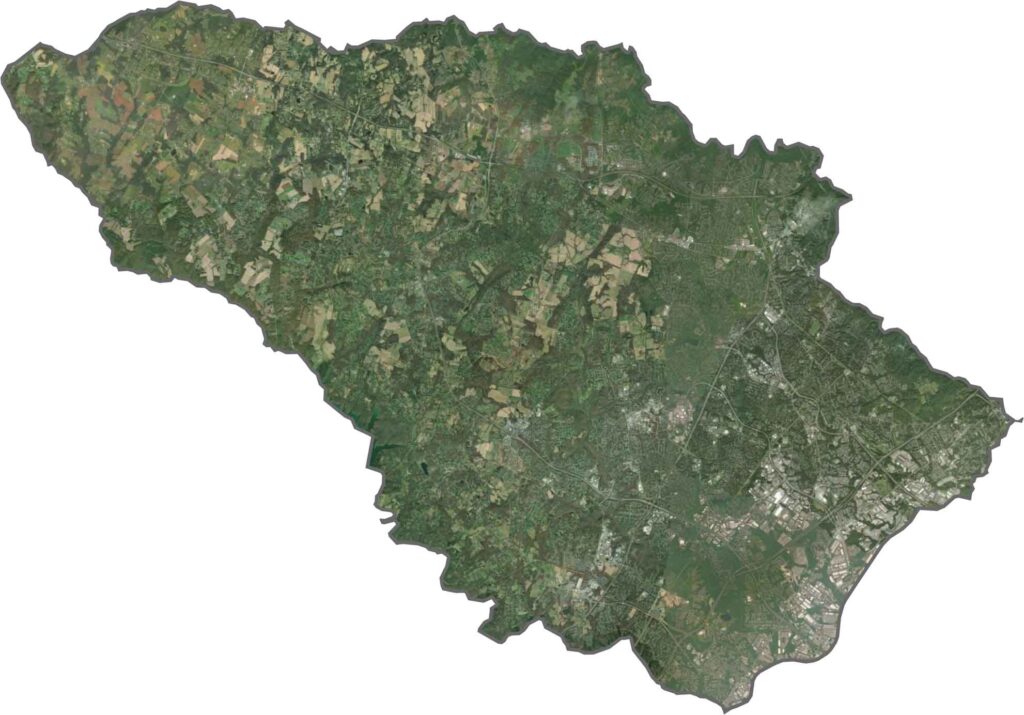
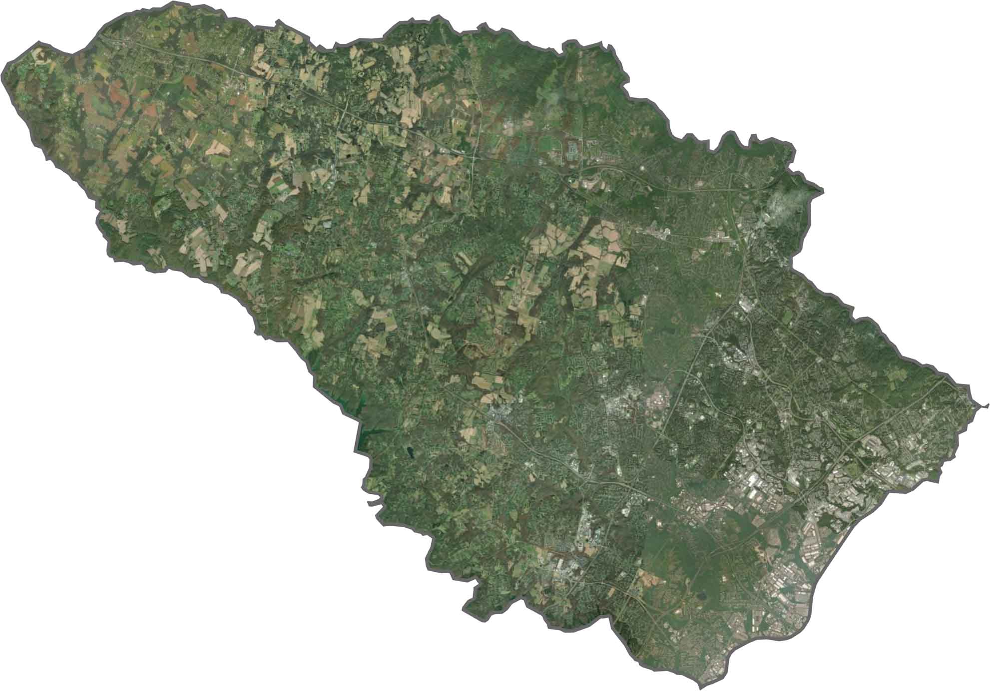
Our Howard County satellite map shows a combination of dense suburban development and preserved green spaces. Columbia’s distinctive villages appear as organized residential clusters surrounded by wooded areas, creating a clear contrast between developed communities and natural landscapes.
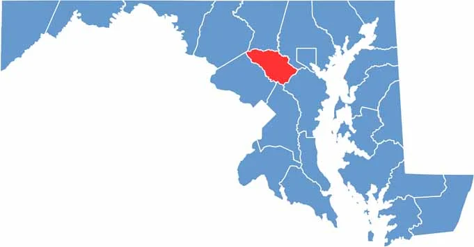
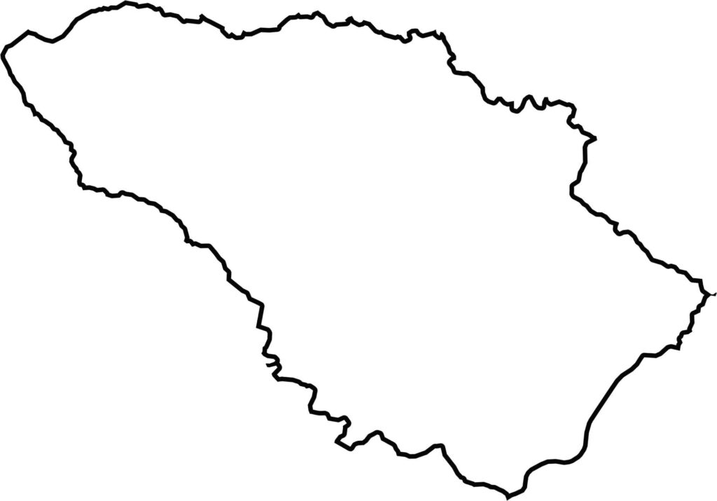
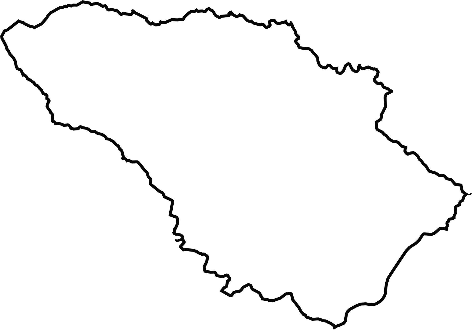
Howard County has an irregular shape, with the Patapsco River forming much of its northern boundary with Carroll County. The county shares borders with five other Maryland counties but does not touch any other states. Along the southwest, the Patuxent River follows a winding course that helps define the county’s boundary.







With 23 counties and Baltimore City, Maryland offers a diverse mix of cities, small towns, rural communities, and scenic outdoor landscapes. From the Chesapeake Bay and coastal areas to historic towns and mountain regions, every part of the state has its own character. Explore our detailed Maryland county maps to learn more about the state’s counties, cities, roads, boundaries, and geographic features.