
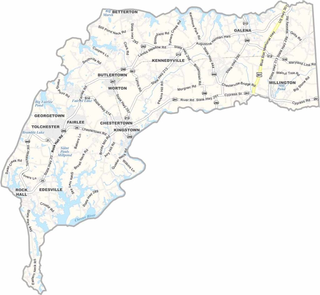
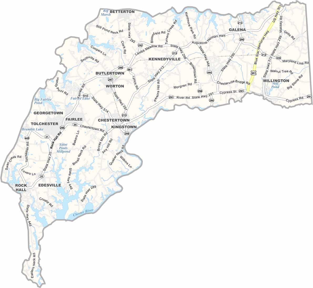
Kent County is located along Maryland’s Eastern Shore, with the Chesapeake Bay shaping much of its landscape and character. Chestertown, the county seat, is known for its historic charm and hosts the annual Tea Party Festival, a popular local event.
With a population of just under 20,000, Kent County maintains a strong sense of community and small-town character. Visitors can explore wineries along the Chesapeake Wine Trail and enjoy excellent birdwatching opportunities at the Eastern Neck National Wildlife Refuge.
Extensive farmland covers much of the county, reflecting its strong agricultural roots. At the same time, seafood remains an important part of local life, with oysters and crabs among the area’s staples. Kent County combines rural scenery, coastal traditions, and community charm in a relaxed setting.
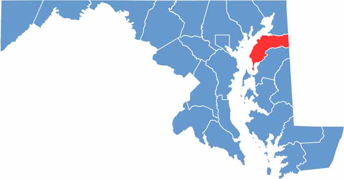
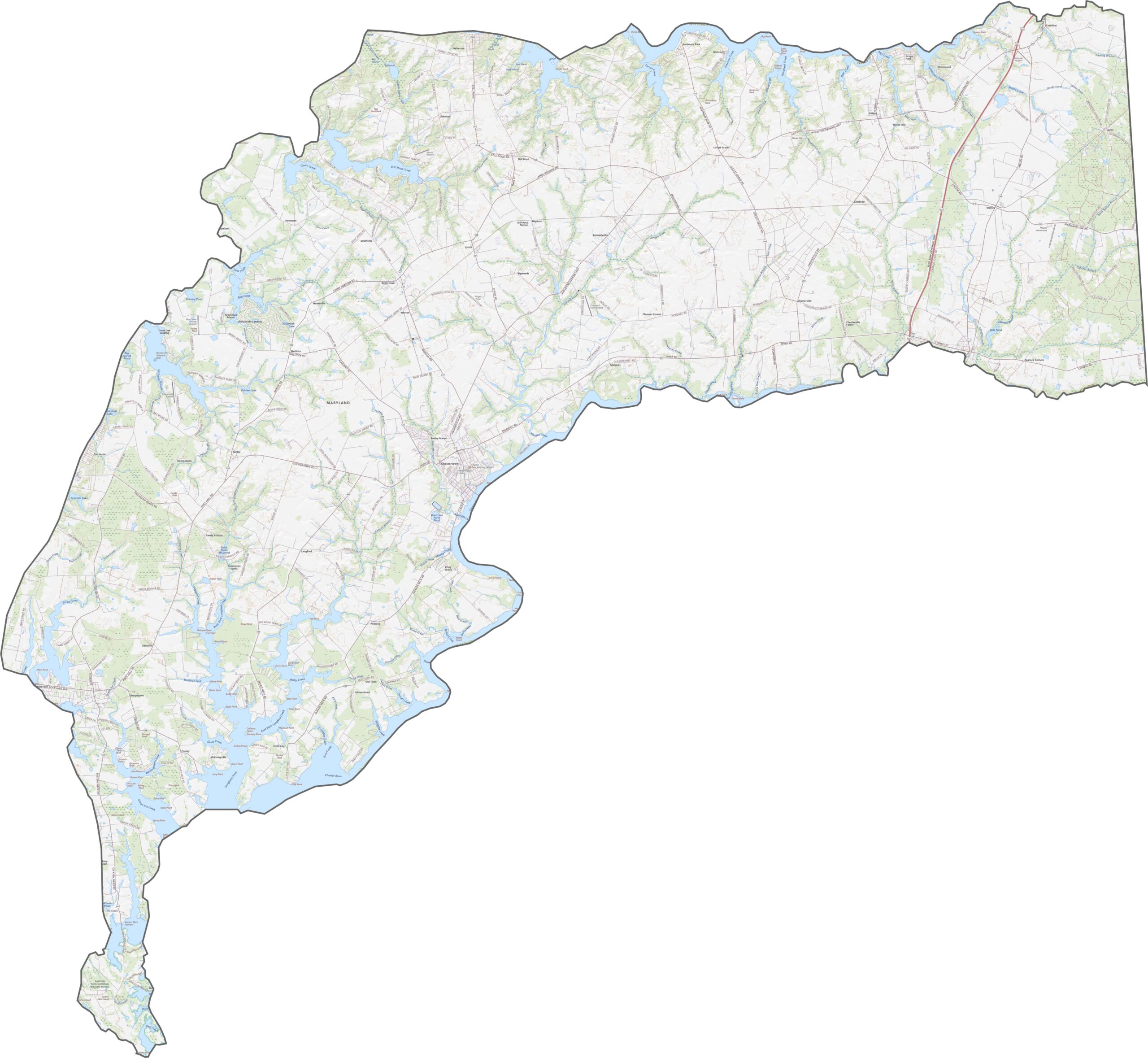
Kent County has no interstate highways, but its rural road network provides access across broad areas of farmland and countryside. Route 301 is the county’s busiest major highway, running north-south and connecting communities across the Eastern Shore.
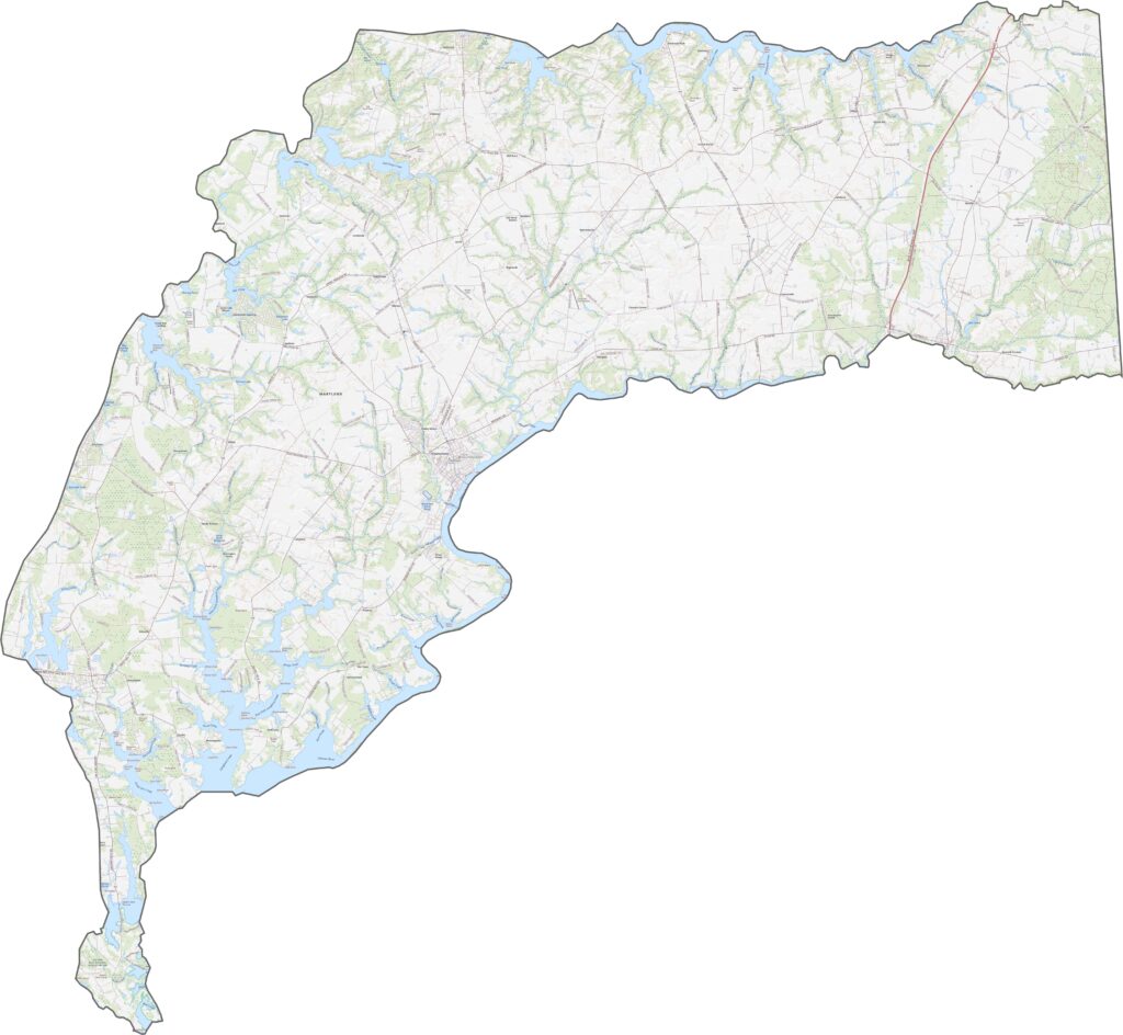
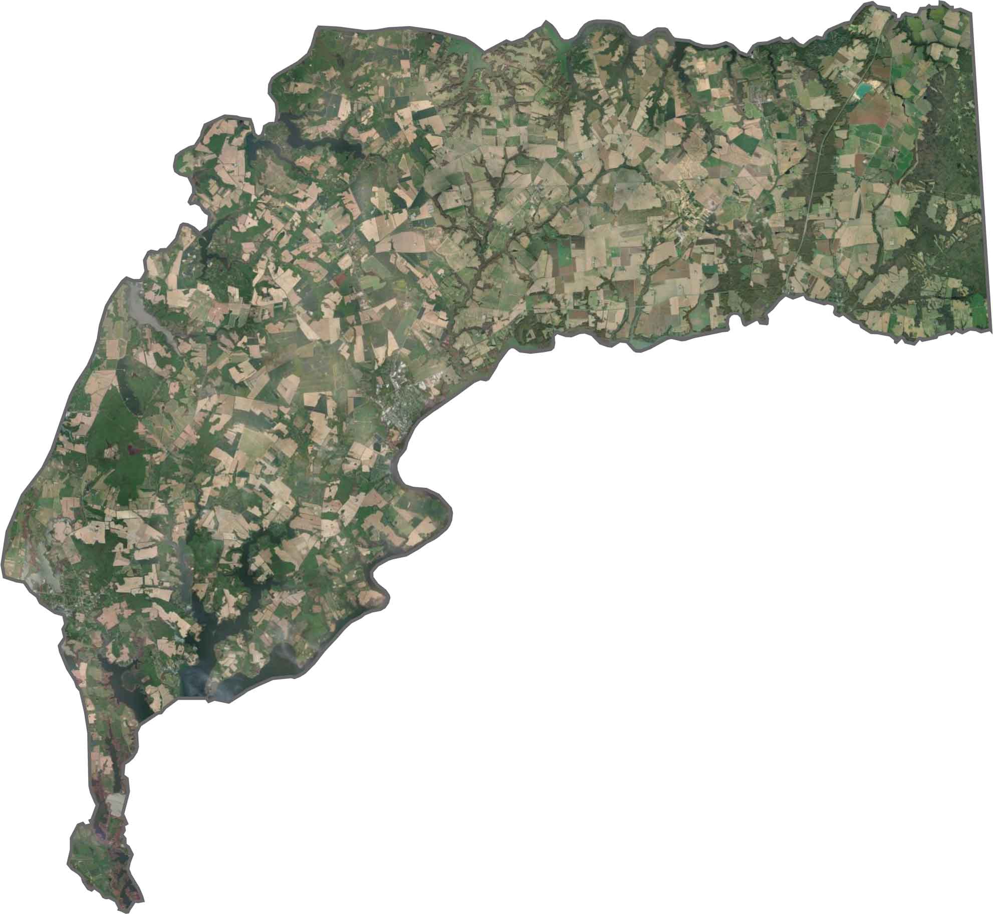
Our Kent County satellite map shows extensive agricultural fields covering much of the county. The Chester River and its branching tributaries create narrow, finger-like waterways that extend into the surrounding land, while historic communities such as Chestertown appear as compact developed areas near the waterfront.
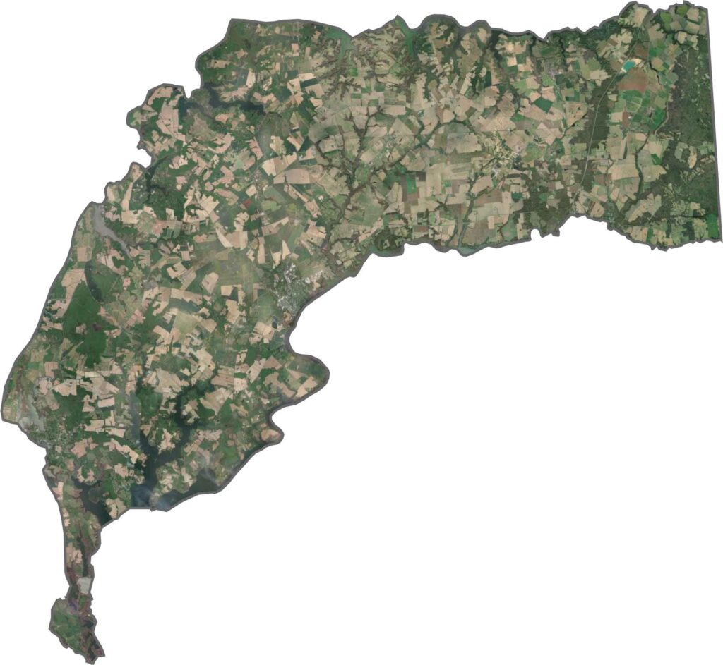
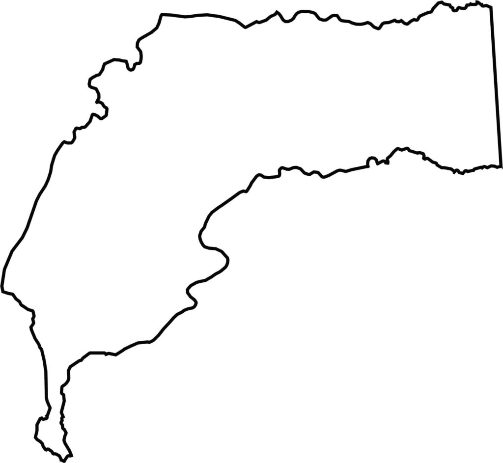
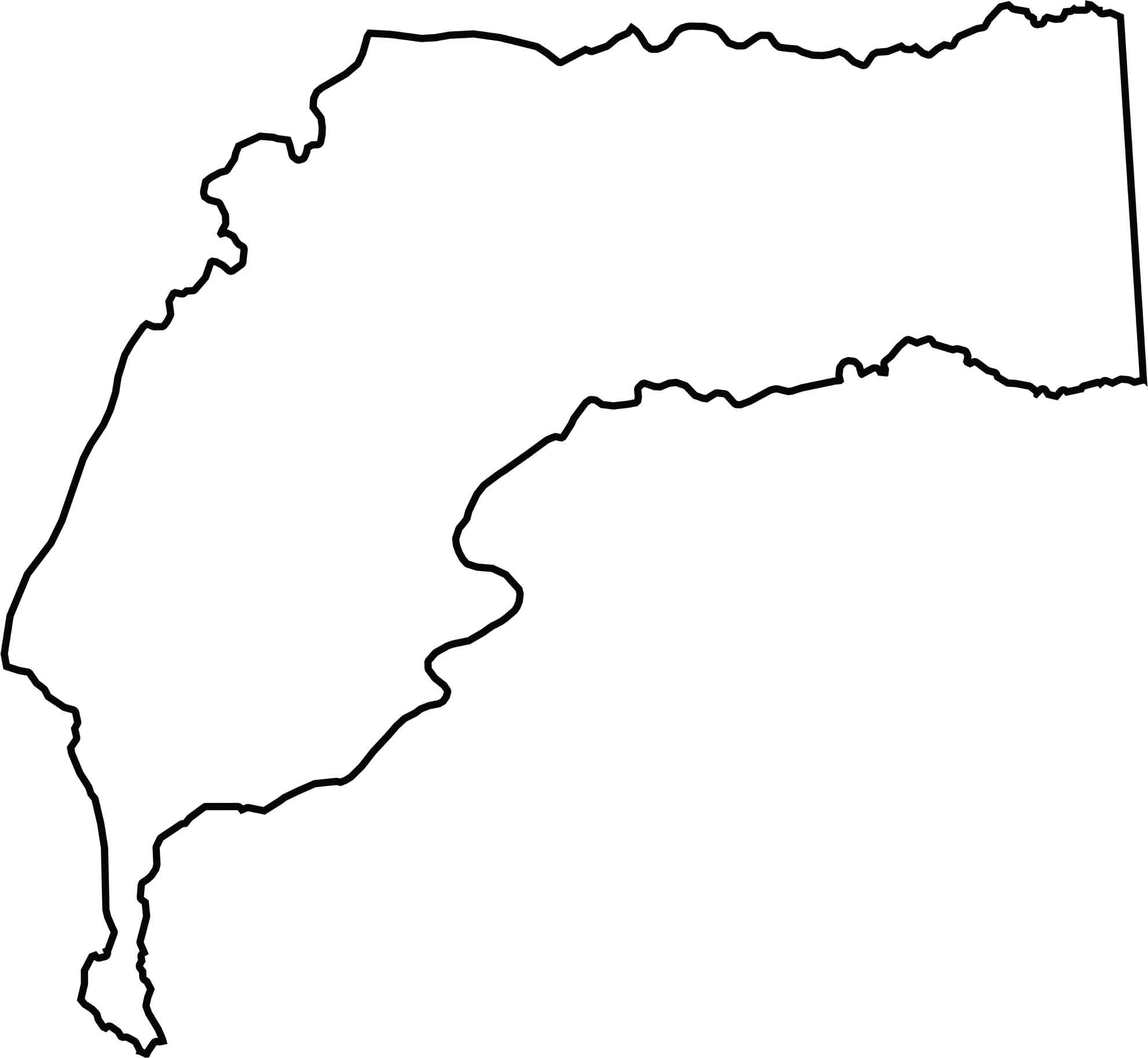
Kent County occupies a peninsula between the Chester River and Sassafras River. Delaware forms the county’s entire eastern border, while the Chesapeake Bay lies along its western side.







With 23 counties and Baltimore City, Maryland offers a diverse mix of cities, small towns, rural communities, and scenic outdoor landscapes. From the Chesapeake Bay and coastal areas to historic towns and mountain regions, every part of the state has its own character. Explore our detailed Maryland county maps to learn more about the state’s counties, cities, roads, boundaries, and geographic features.