
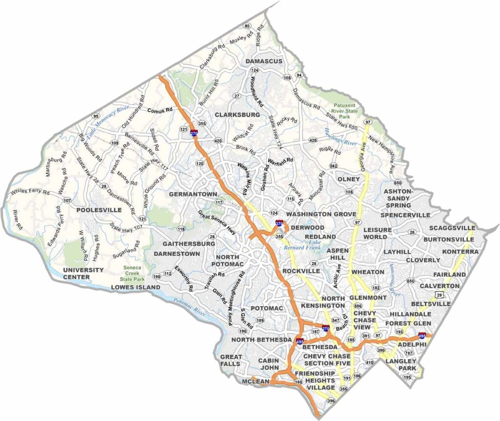
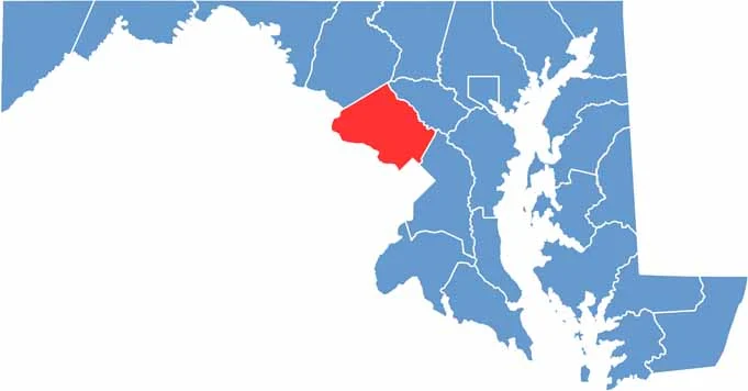
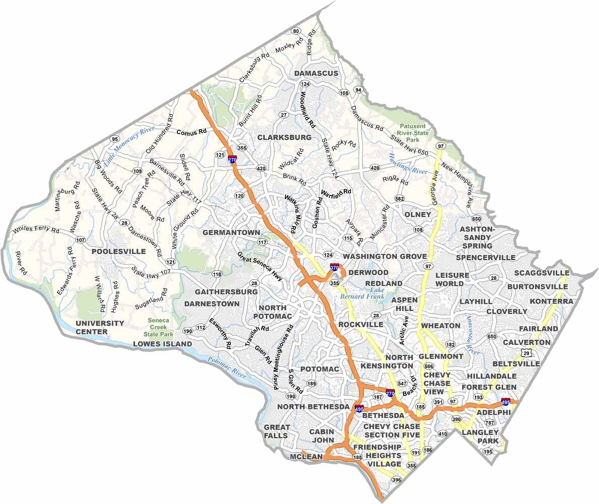
Montgomery County is located just north of Washington, D.C., offering a mix of vibrant urban communities and established suburbs. It is one of Maryland’s most populous counties, with well-known communities such as Rockville and Bethesda.
The Metro Red Line provides convenient connections to Washington, D.C., making travel between the county and the capital easier. The county also has a diverse cultural character, with international communities and global cuisine represented throughout the area.
The C&O Canal provides a peaceful setting for enjoying nature and outdoor recreation. Montgomery County is also known for its schools, hiking trails, and cultural attractions, including art exhibitions and performances at Strathmore.
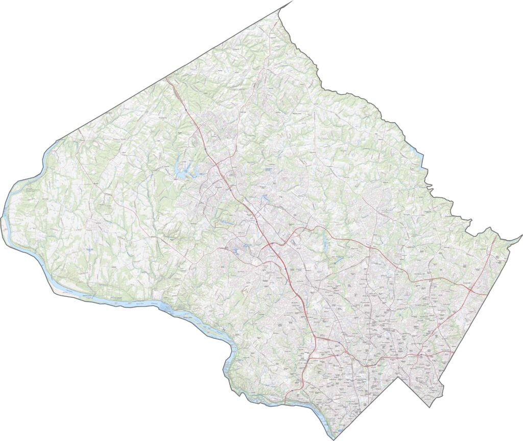
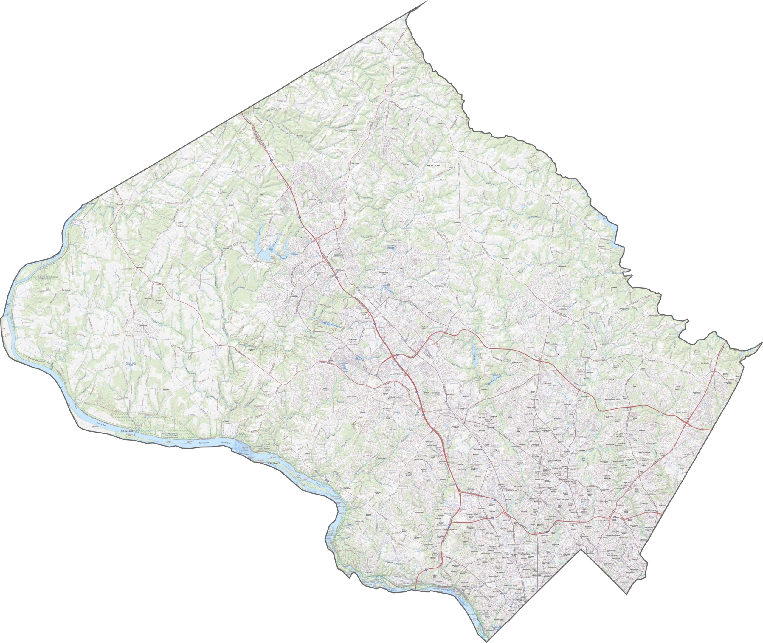
Montgomery County has an extensive network of hiker-biker trails that runs alongside many of its roads and transportation corridors. The Capital Beltway (I-495) encircles the Washington, D.C. area, while I-270 serves as the county’s main north-south corridor. Use the zoom tool to explore specific roads, trails, and map features in greater detail.
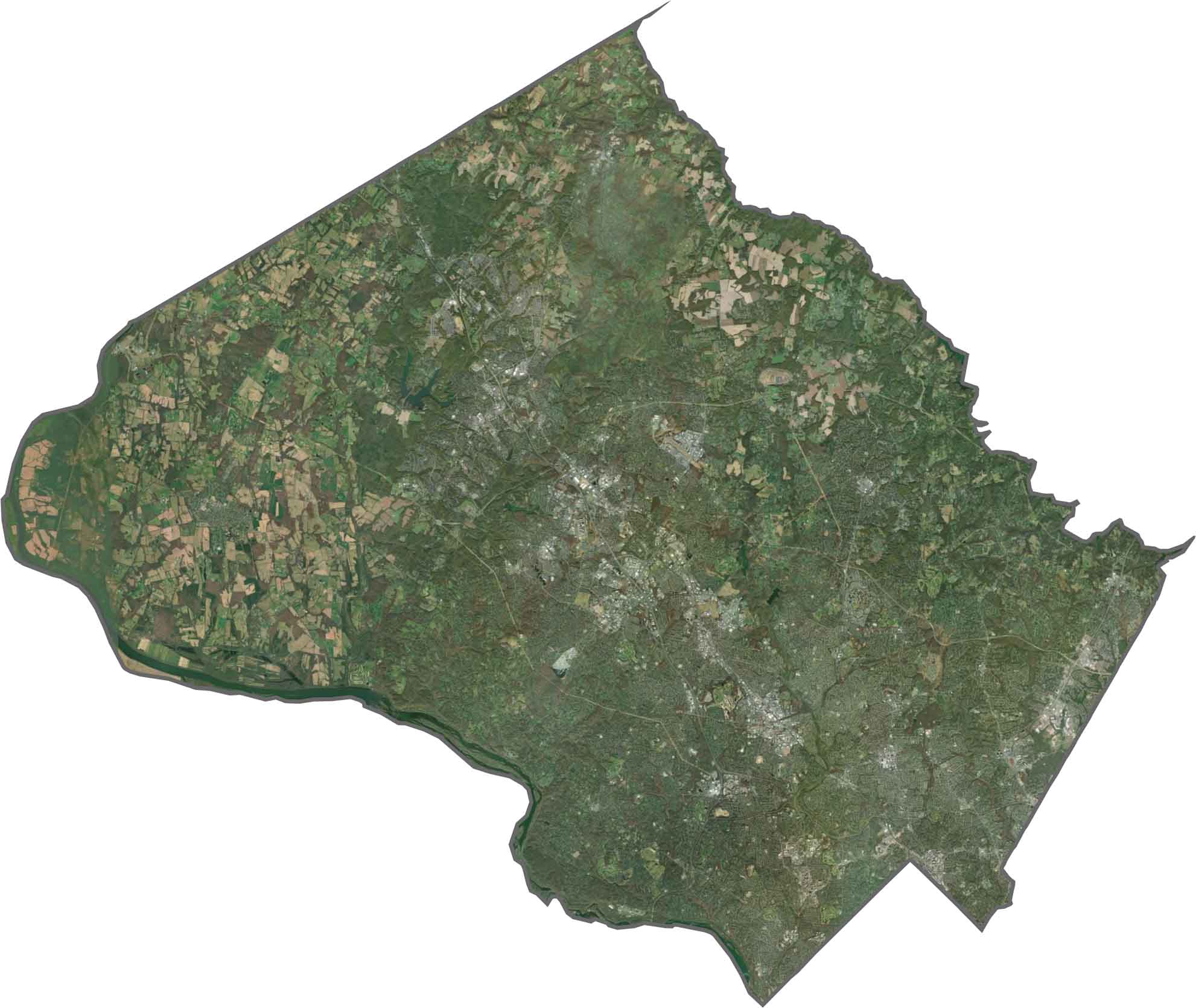
Our Montgomery County satellite map shows dense development spreading outward from the Washington, D.C. border along major transportation corridors. Beyond the developed areas, extensive forests, conservation reserves, and state parks cover much of the county, creating a varied landscape of urban and natural spaces.
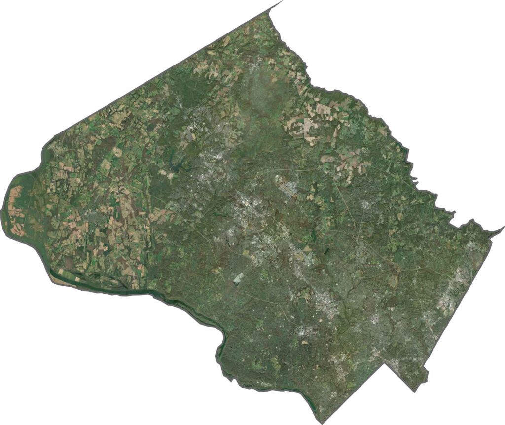
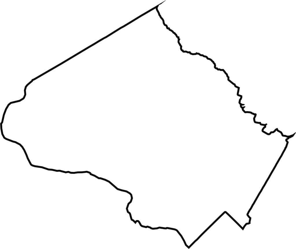
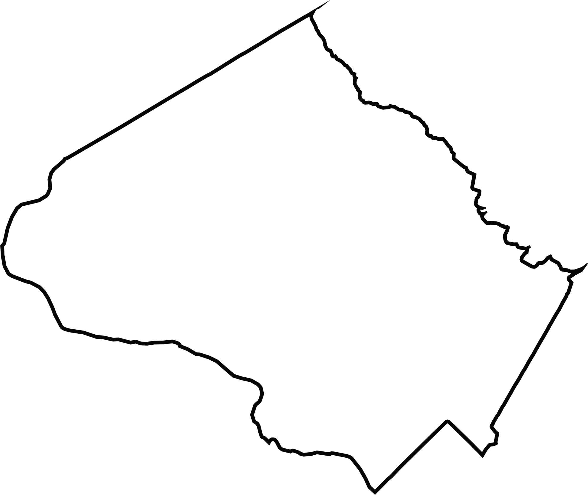
The Potomac River forms the entire southwestern boundary of Montgomery County, separating it from Virginia. The county also shares a boundary with Washington, D.C., giving it a direct connection to the nation’s capital.







With 23 counties and Baltimore City, Maryland offers a diverse mix of cities, small towns, rural communities, and scenic outdoor landscapes. From the Chesapeake Bay and coastal areas to historic towns and mountain regions, every part of the state has its own character. Explore our detailed Maryland county maps to learn more about the state’s counties, cities, roads, boundaries, and geographic features.