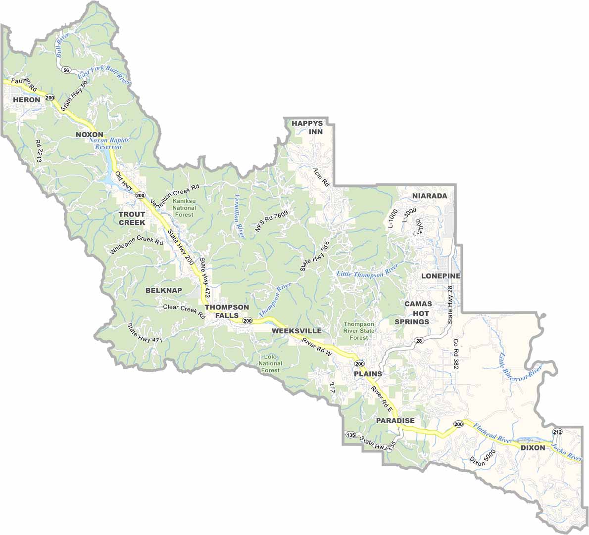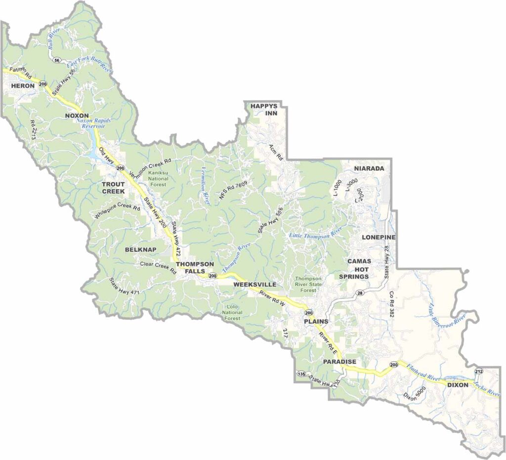
Sanders County, Montana

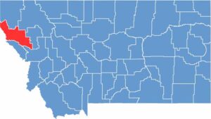
In the far western reaches of Montana lies a place of rugged beauty and outdoor adventure: Sanders County. The Clark Fork River winds through the heart of this mountainous region, carving valleys and creating a paradise for fishing.

Thompson Falls is the county seat. It’s named after a British explorer, but these days, it’s all about that laid-back Montana vibe. Locals here are a hardy bunch. They have to be, with long winters and the occasional wildfire season to deal with.

The Cabinet Mountains loom large on the horizon, offering endless hiking trails and hidden alpine lakes. Wildlife is everywhere, from elk and deer to the occasional grizzly bear. Lolo National Forest covers much of the county, making it a playground for hunters, campers, and nature lovers.

CategoryDetails
County NameSanders County
County SeatThompson Falls
EtymologyNamed after Wilbur F. Sanders, a pioneer and leader in Montana
Cities, Towns, and CommunitiesThompson Falls, Plains, Hot Springs, Trout Creek, Noxon
Interstates and HighwaysMT 200, MT 28
FIPS Code30-089
Total Area (Land and Water)2,790 square miles (Land: 2,761 sq mi, Water: 29 sq mi)
Adjacent Counties (and Direction)Lincoln County (North), Flathead County (Northeast), Lake County (East), Missoula County (Southeast), Mineral County (South), Shoshone County, Idaho (West), Bonner County, Idaho (Northwest)
Time ZoneMountain Time Zone (MT)
StateMontana
Coordinates47.5962° N, 115.0713° W
Major LandmarksKootenai National Forest, Flathead River, Thompson Falls State Park
PopulationApproximately 12,500
Scroll to Top