
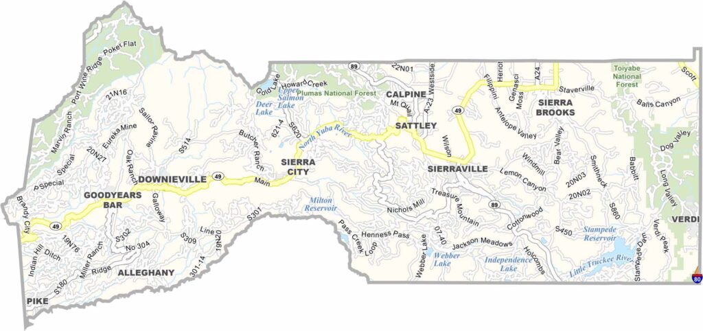
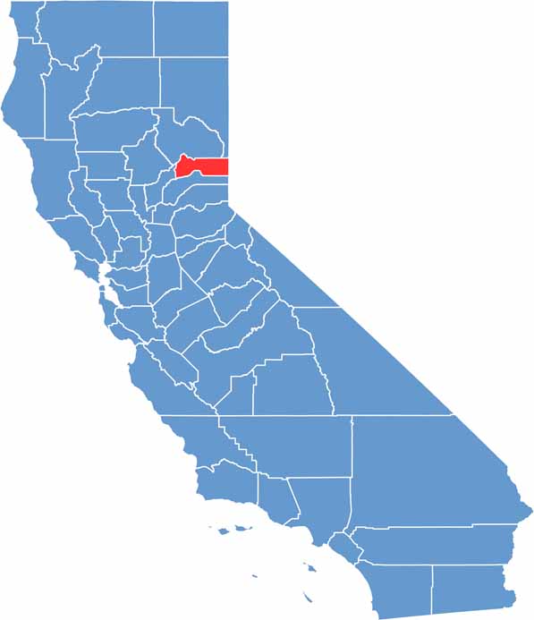
Sierra County is a small and remote part of the Sierra Nevada in northeastern California. It is California’s second-least populous county, giving the area a quiet and sparsely populated character.
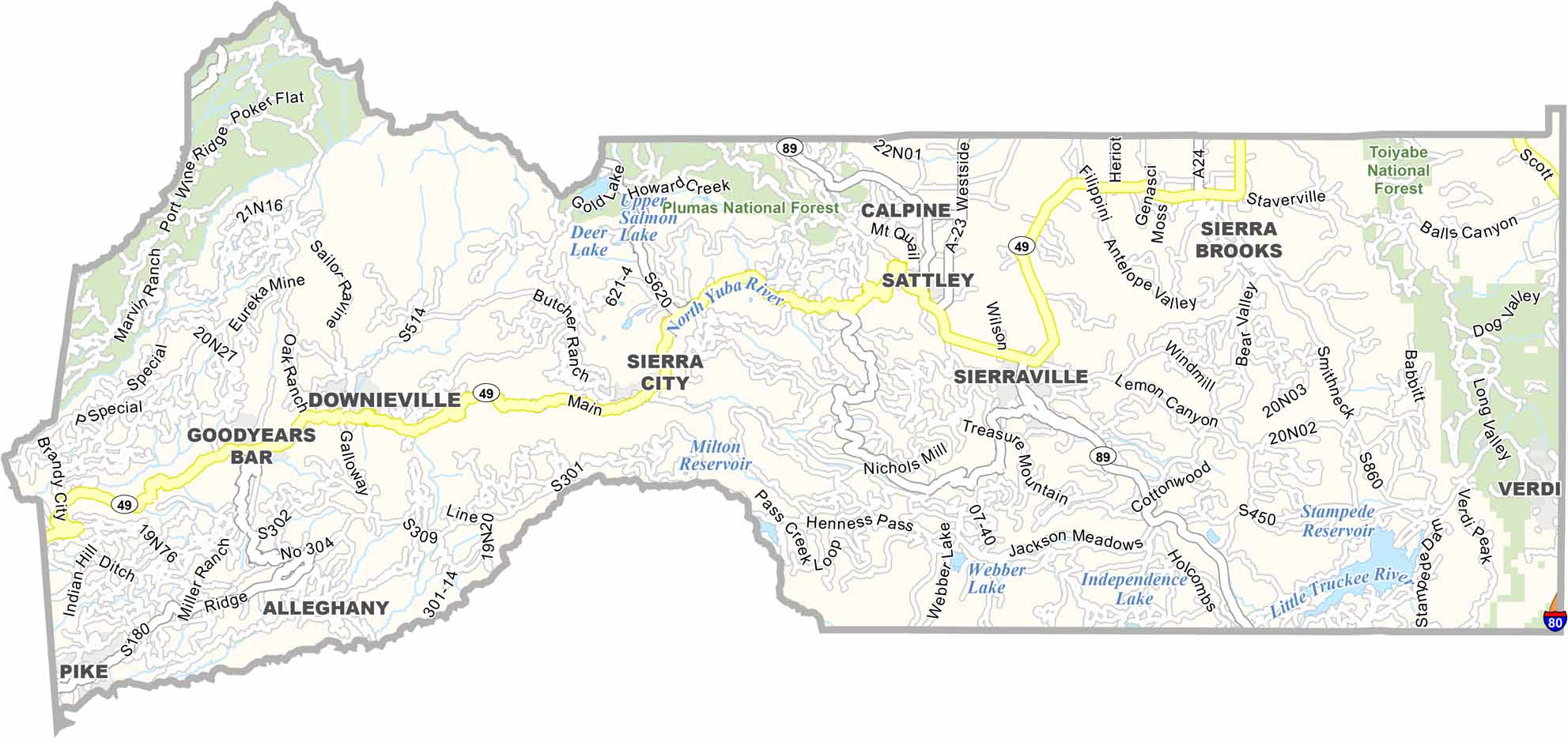
Downieville, the county seat, is a historic mining town that has become especially popular with mountain bikers. The county’s remote nature is reflected in its lack of traffic lights and limited urban development.
Sierra County is an ideal destination for fishing, hiking, and getting away from busy city life. Its mountains, forests, and rivers provide abundant opportunities for outdoor recreation, although visitors should not expect much nightlife or reliable cell service in many remote areas.
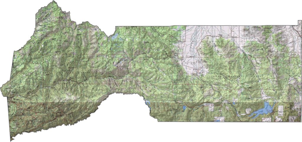
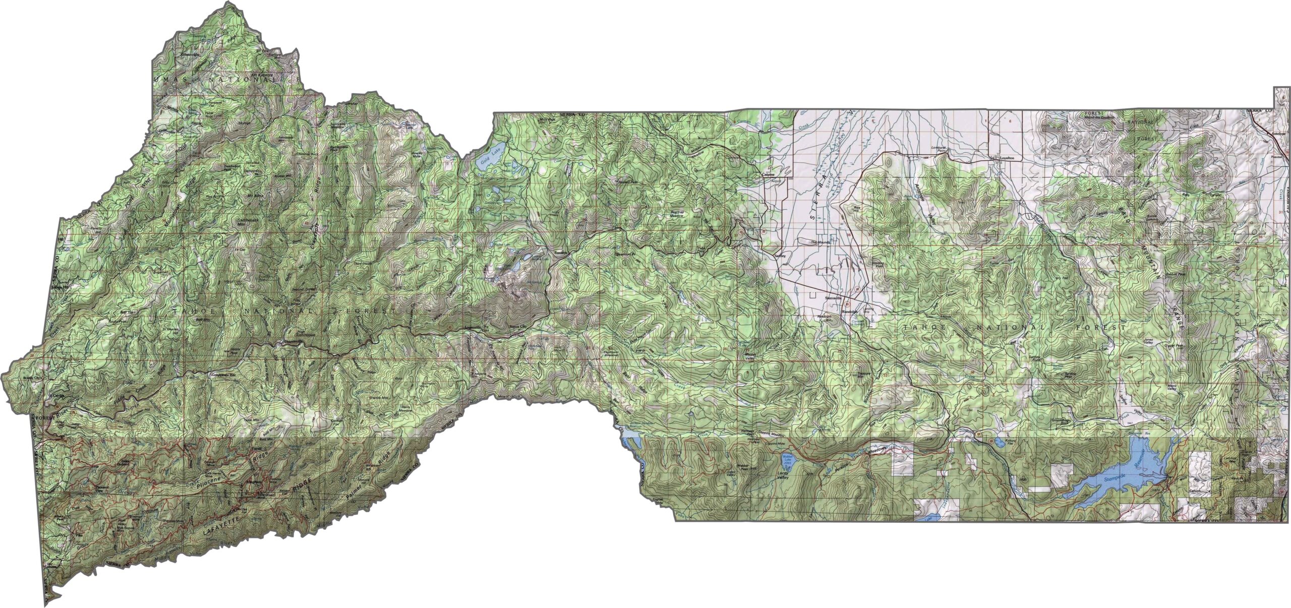
This topographic map highlights Sierra County’s rugged High Sierra Nevada landscape. The contour lines reveal deep river canyons, heavily forested slopes, and mountain peaks along the Sierra crest.
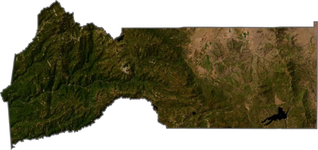
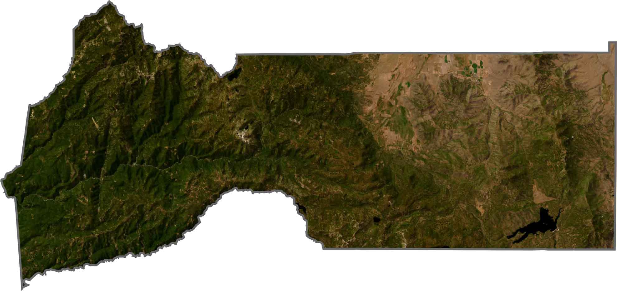
This satellite map shows the deeply incised river canyons cutting through Sierra County’s mountainous terrain. Dense forests dominate the landscape, with relatively few roads and communities interrupting the remote wilderness.
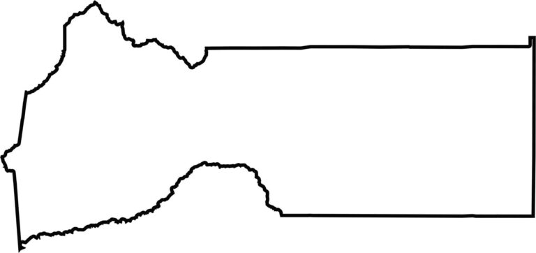
This blank map outlines Sierra County’s compact shape in the northern Sierra Nevada. The eastern boundary follows the California-Nevada state line, emphasizing the county’s remote and sparsely populated setting.








Ever wonder how California’s 58 counties are organized? Our California county map lays them all out, from the Pacific Coast to the vast desert regions. Explore the map to find the counties you know—and perhaps discover a few you don’t.