
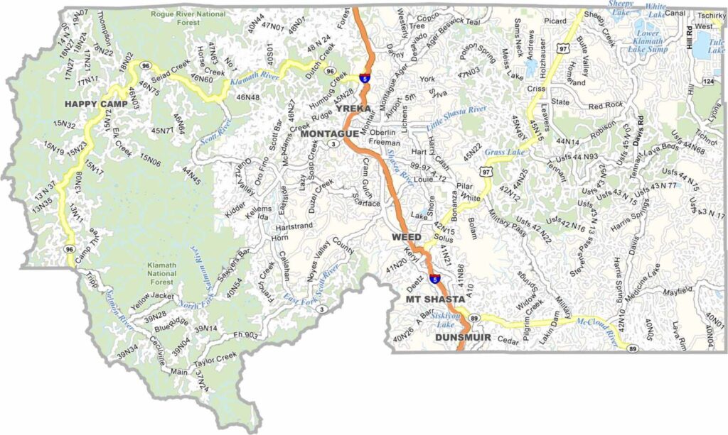
Siskiyou County is located in far northern California along the Oregon border. Mount Shasta dominates the landscape and is one of the region’s most recognizable natural landmarks.
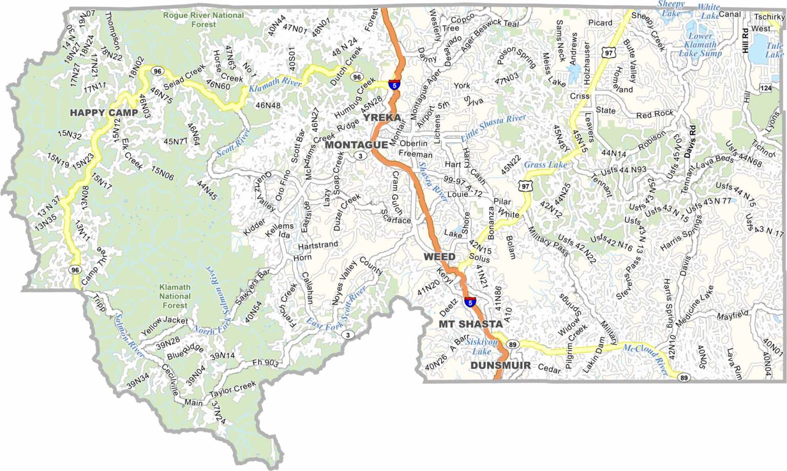
Yreka is the county seat and one of the county’s main communities. The area offers abundant opportunities for hiking, skiing, fishing, and other outdoor recreation.
With a population of around 45,000 people, Siskiyou County is sparsely populated and heavily forested. Interstate 5 runs through the county, connecting California with Oregon. Its remote character and diverse communities give Siskiyou County a distinctive personality.
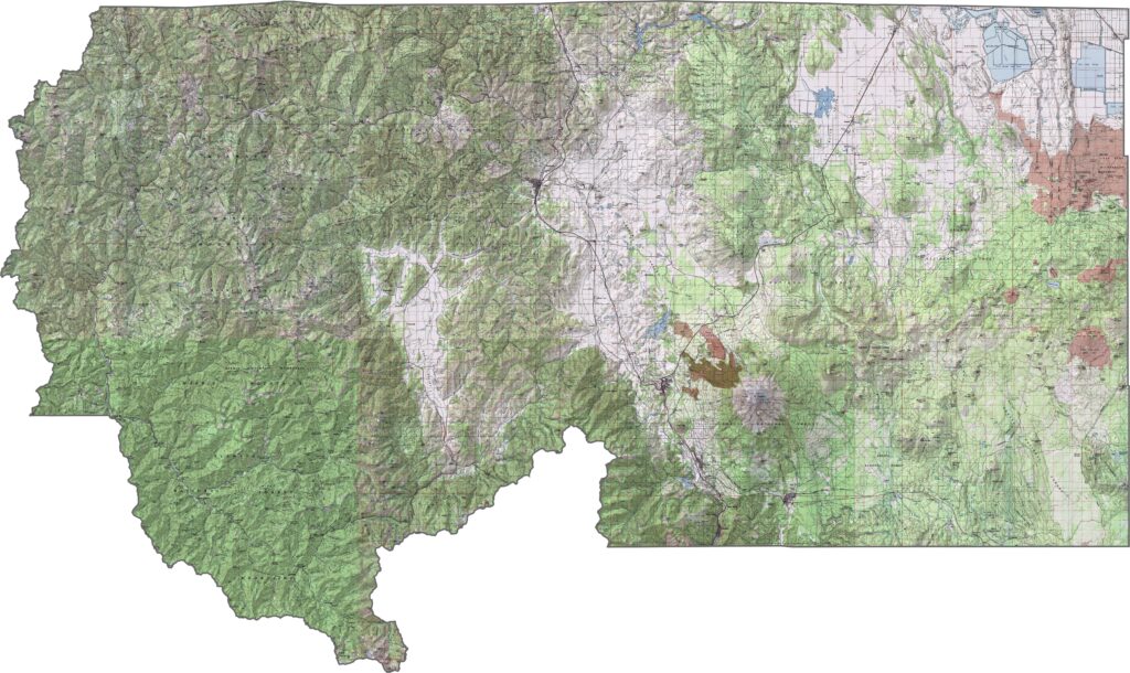
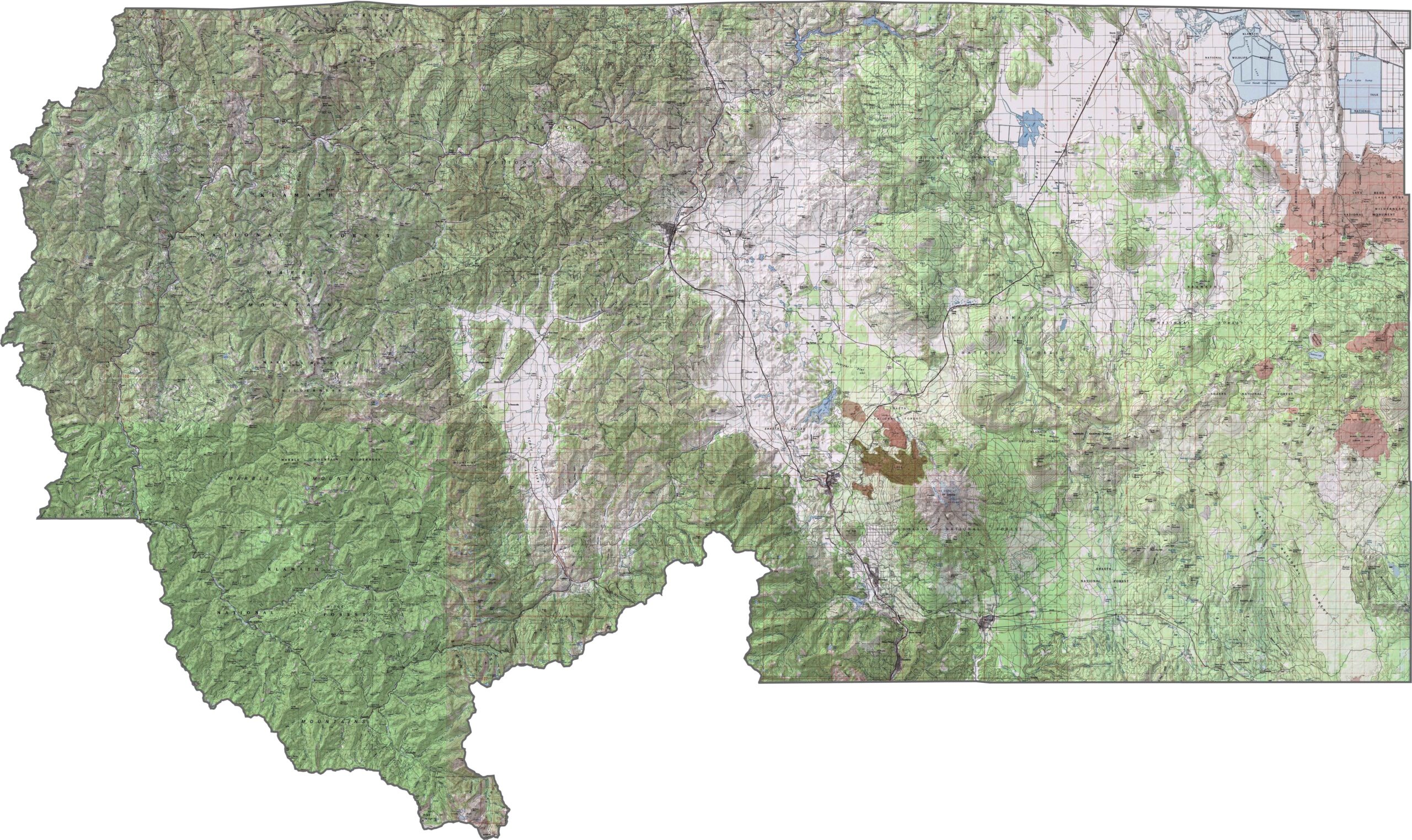
This topographic map highlights Siskiyou County’s rugged mountainous terrain, including Mount Shasta, diverse river valleys, and dramatic elevation changes. The detailed contours make it easy to explore the county’s varied landscape.
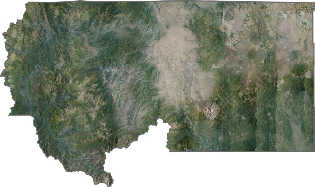
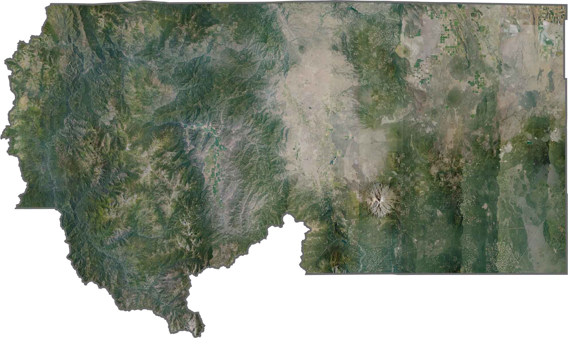
This satellite map reveals the volcanic landscapes and mountain ranges that define northern Siskiyou County. The Klamath Mountains and southern Cascades create a complex pattern of forests, peaks, valleys, and volcanic terrain.
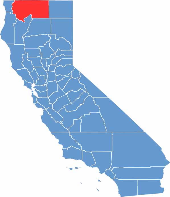
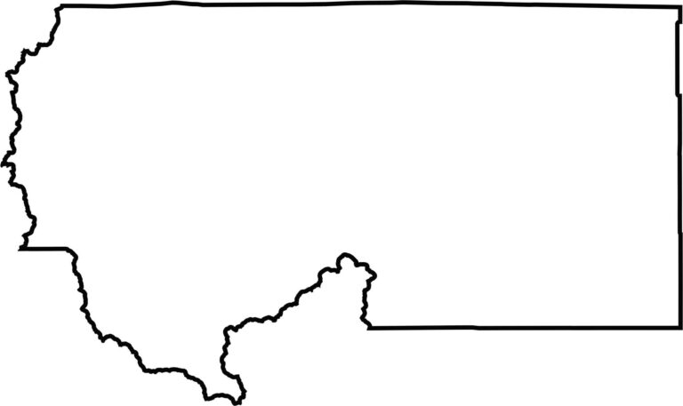
This blank map outlines Siskiyou County’s large and irregular shape in far northern California. The northern boundary follows the Oregon state line, while the county extends across portions of several major mountain ranges.








Ever wonder how California’s 58 counties are organized? Our California county map lays them all out, from the Pacific Coast to the vast desert regions. Explore the map to find the counties you know—and perhaps discover a few you don’t.